Killenworth Mansion, Russia’s Hidden Long Island Paradise
On the crest of a hill in Glen Cove, New York sits Killenworth, one of the country’s finest mansions
Read More
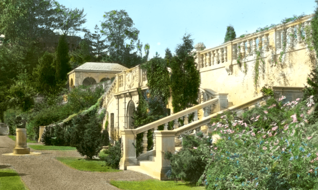
On the crest of a hill in Glen Cove, New York sits Killenworth, one of the country’s finest mansions
Read More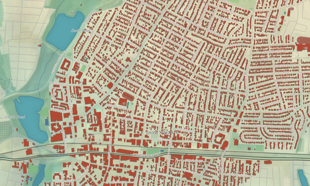
This map of Rockville Centre, New York was created by KNOWOL in the tradition of nineteenth...
Read More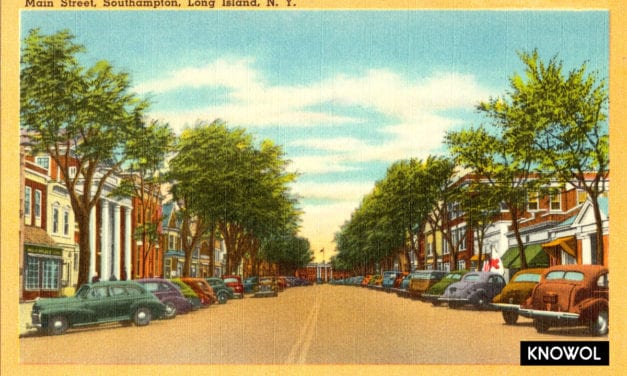
Southampton is a town in Suffolk County, New York, on the stretch of shoreline…
Read More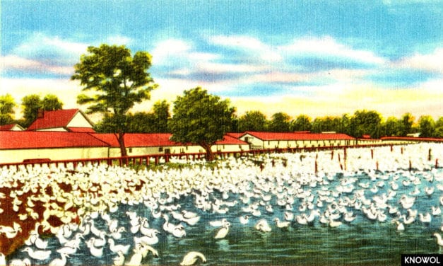
Long Island was once home to a thriving industry of duck farming, with more…
Read More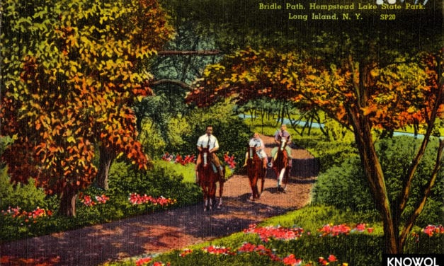
This series of Hempstead Lake State Park pictures come from postcards created in…
Read More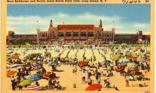
Jones Beach is the most popular and heavily visited beach on the East Coast…
Read More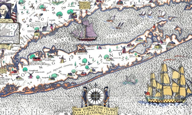
Long Island towns on the map include Port Washington, Hempstead, Amityville, Oyster Bay, Islip, Huntington, Port Jefferson, Setauket, Sayville, Patchogue, Moriches, Manorville, Rocky Point, Riverhead, Sag Harbor, East & South Hampton, Greenport, and more.
Read More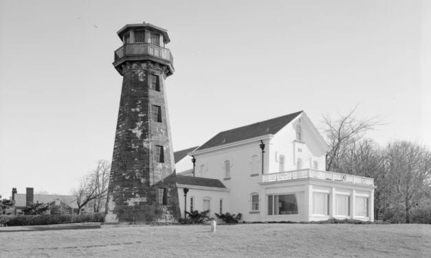
The lighthouse at Sands Point is a representative example of masonry…
Read More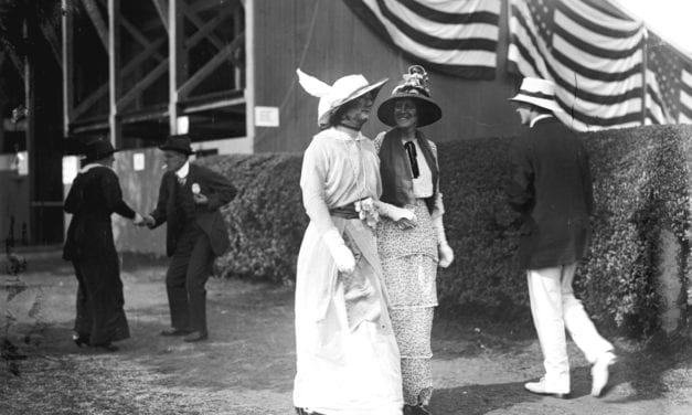
This collection of pictures shows what life was like on Long Island in the late 19th…
Read More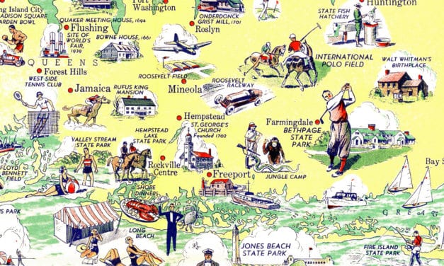
This map of Long Island was originally published in 1938
Read More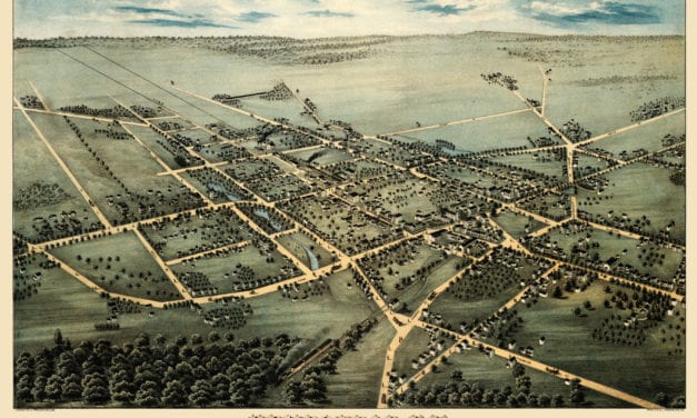
This map shows Hempstead, New York as it looked in 1876. It was created by Fowler & Bulger in 1876.
Read More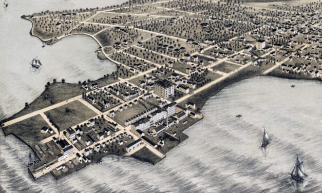
Historic bird’s eye view of College Point, Queens in 1876
Read More