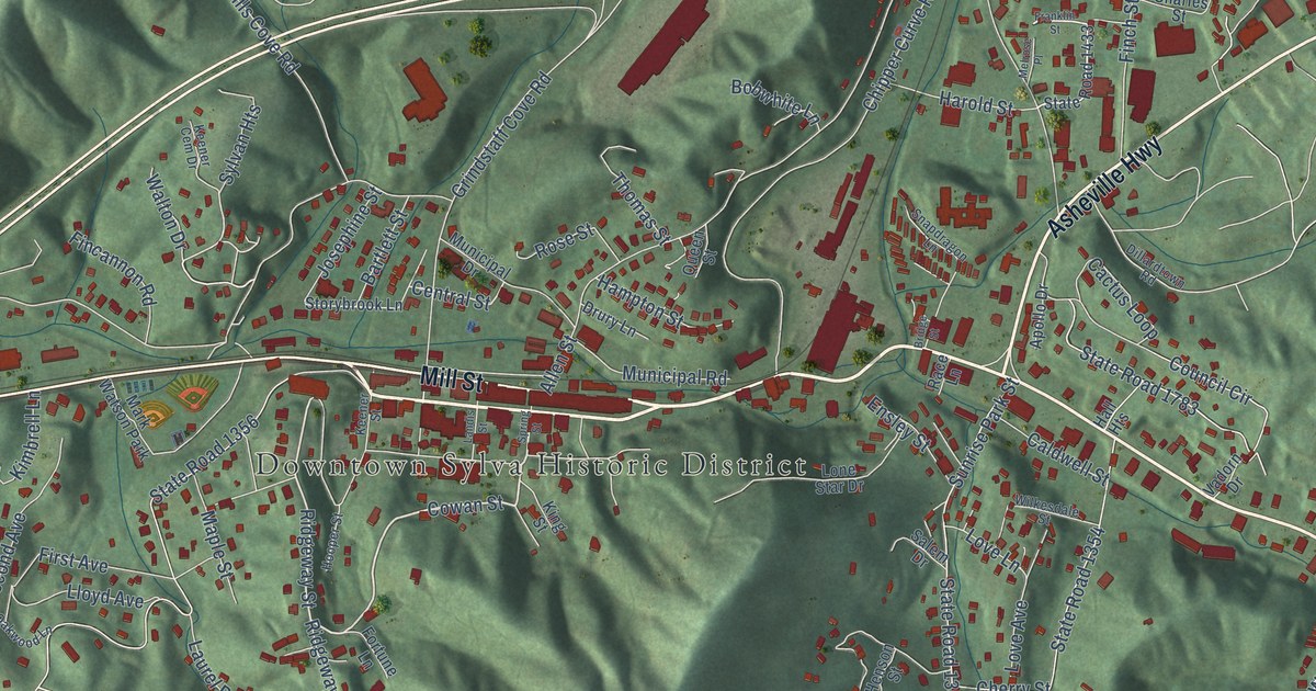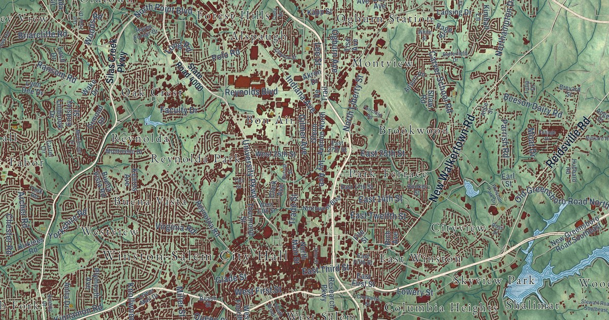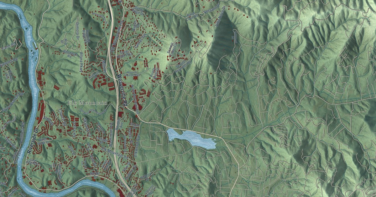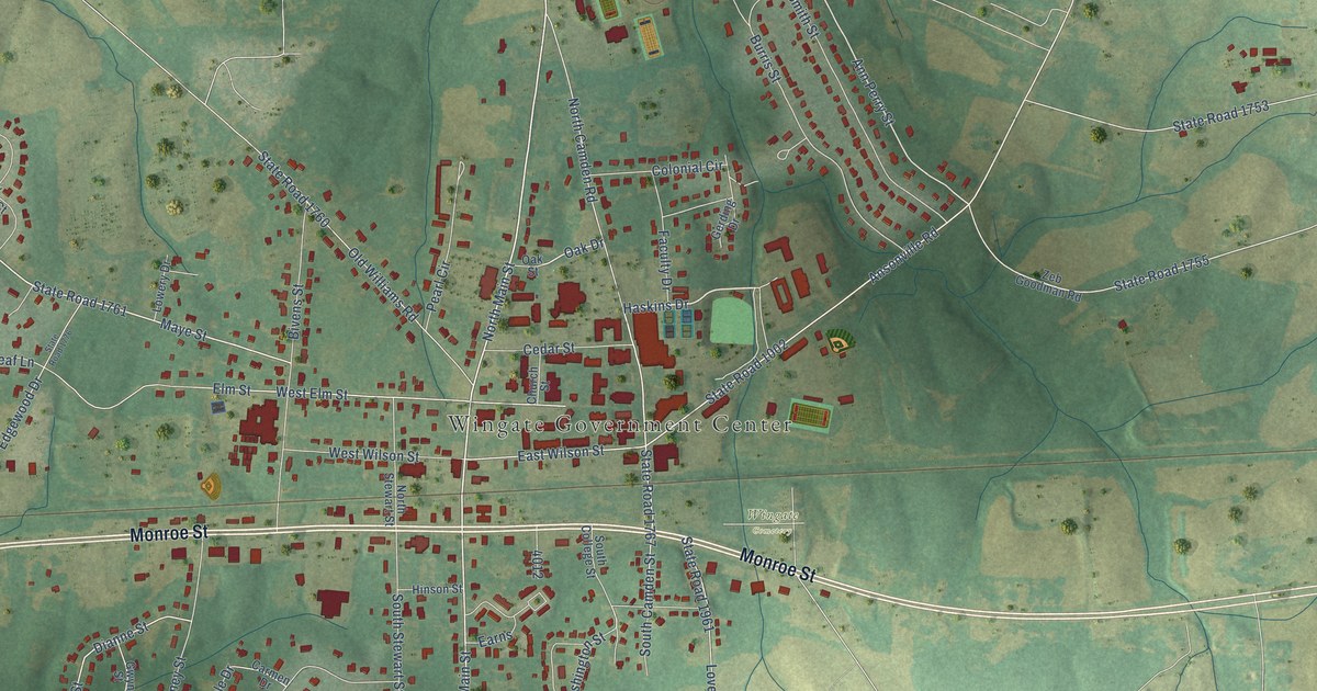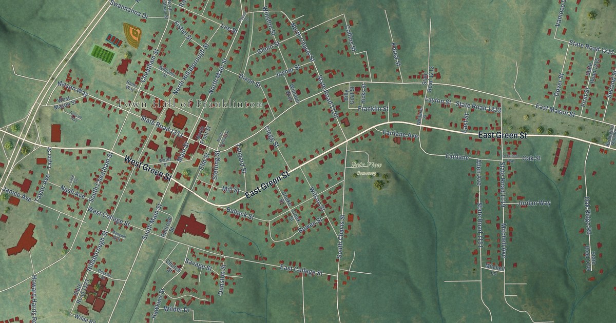
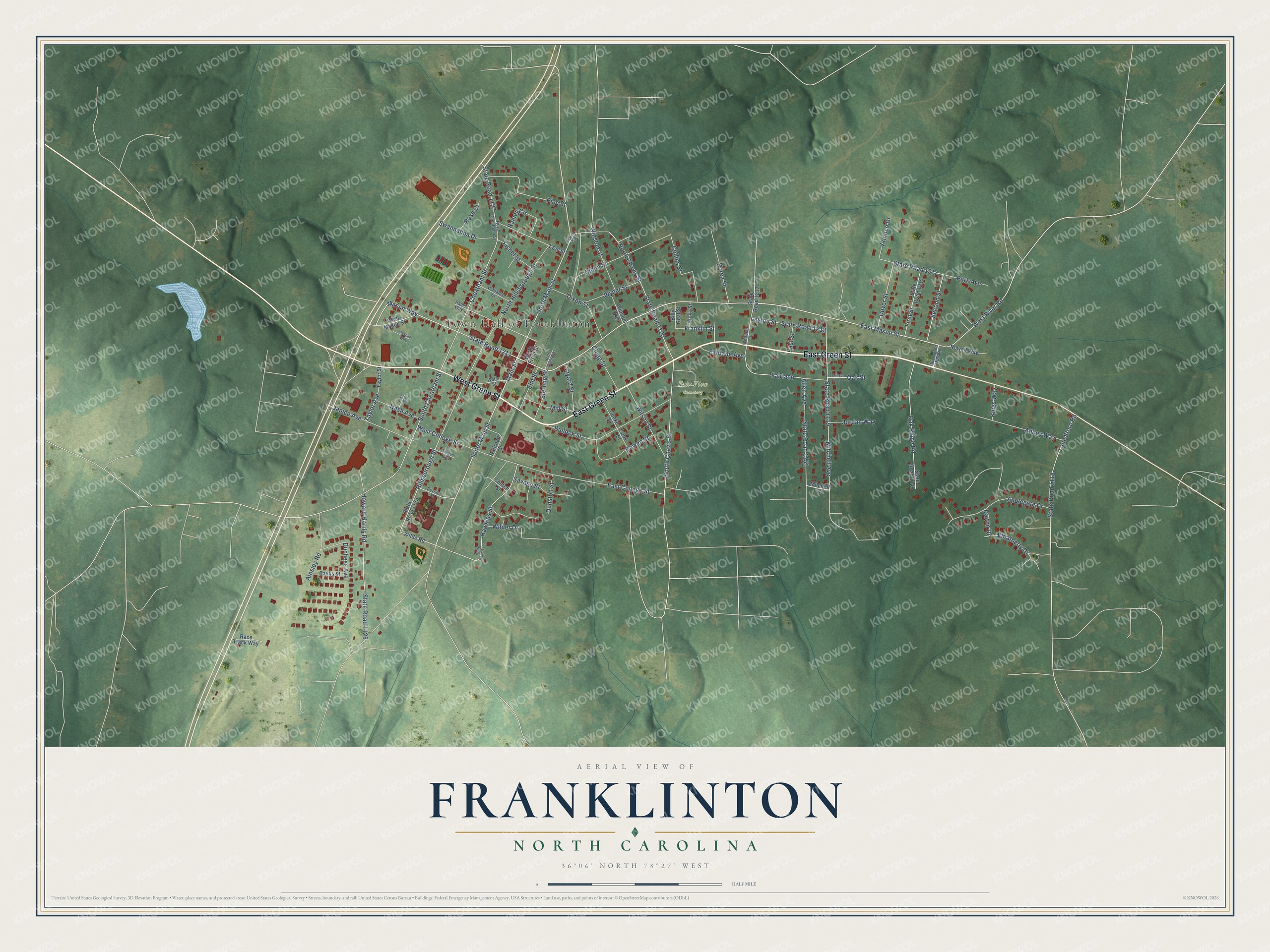
This beautifully detailed map of Franklinton, North Carolina was created in 2026 using aerial imagery combined with modern topographical, census, street and landmark data. It's a modern aerial view of Franklinton in Franklin County, North Carolina, that combines modern data with a vintage aesthetic. The roads feature printed names, and if you look closely you can find your exact house accurately shown in its correct location.
Explore an aerial view of Franklinton, North Carolina
On this map you'll find Town Hall of Franklinton, Fair View Cemetery, East Green Street, West Green Street, Main Street, South Main Street, North Main Street, State Road 1211, Mason Way, West River Road, East Mason Street, Hillsborough Street, and more. Each red shape is a building, so zoom in on the preview and look for yours.
Here is a piece of Franklinton history, in the words of the record. The North Carolina Gazetteer puts it this way: "Franklinton town in W Franklin County. Alt. 432. Est. in 1839 as Franklin Depot on land of Shemuel Kearney. Name changed to Franklinton in 1842, when it was inc. Produced textiles."
Franklinton is a town in Franklin County. The Census Bureau counted 2,456 people here in 2020.
Take a closer look at the Franklinton map
Names on this map
These names are printed on this map.
Places: Town Hall of Franklinton and Fair View Cemetery.
Streets and roads: East Green Street, West Green Street, Main Street, South Main Street, North Main Street, State Road 1211, Mason Way, West River Road, East Mason Street, Hillsborough Street, State Road 1151, North Chavis Street.
More street names, A to Z
Abbey Way, Ainsley Road, Allen Avenue, Applegate Drive, Ayscue Way, Baylis Street, Billy Goat Street, Bowen Street, Bullock Street, Burlington Mills Road, Cheatham Street, Church Street, Clegg Street, Collins Street, Cooke Street, Cook Street, Dalton Drive, Dixon Street, Dover Street, Duchess Avenue, Dunston Street, East College Street, East Street, Elm Street, Fairlane, Fairlane Avenue, Faye Circle, First Street, Fishel Street, Franklin Street, Glenn Street, Hawkins Street, Hicks Street, Howard Harris Road, Janice Avenue, Jordan Way, Joyner Street, Kings Way, Korea Street, Lane Store Road, Layton Street, Lee Street, Mangum Way, Mill Street, Mitchell Avenue, Mitchell Lane, Nash Avenue, North Cheatham Street, North Front Street, North Hillsborough Street, North Sterling Street, Nowell Way, Oak Ridge Road, Oak Street, Park Avenue, Pearce Street, Perkinson Way, Person Street, Pine Street, Race Track Way, Railroad Street, Ramey Circle, Rams Way, Rose Court, Savage Street, Second Street, South Chavis Street, South Cheatham Street, State Road 1118, State Road 1119, State Road 1120, State Road 1122, State Road 1123, State Road 1126, State Road 1127, State Road 1149, State Road 1212, State Road 1213, State Road 1215, State Road 1217, Sterling Street, Swannanoa Drive, Tanyard Street, Taylor Avenue, Taylor Street, Vamoco Drive, Water Street, Weatherly Drive, West College Street, West Mason Street, Whitaker Street, Wilder Drive, Wilde Road, Williams Street, Wilson Street, Winston Street, Winston Way.
Created by KNOWOL in 2026. The buildings are small red shapes, the roads carry their printed names, and shaded relief shows the shape of the land. The title panel reads "AERIAL VIEW OF FRANKLINTON NORTH CAROLINA" with 36°06' NORTH 78°27' WEST.
It suits a den, a classroom or a front hall, and it makes a gift for anyone with Franklinton roots. Open the preview and find the block you know. See sizes and frames for the Franklinton map.