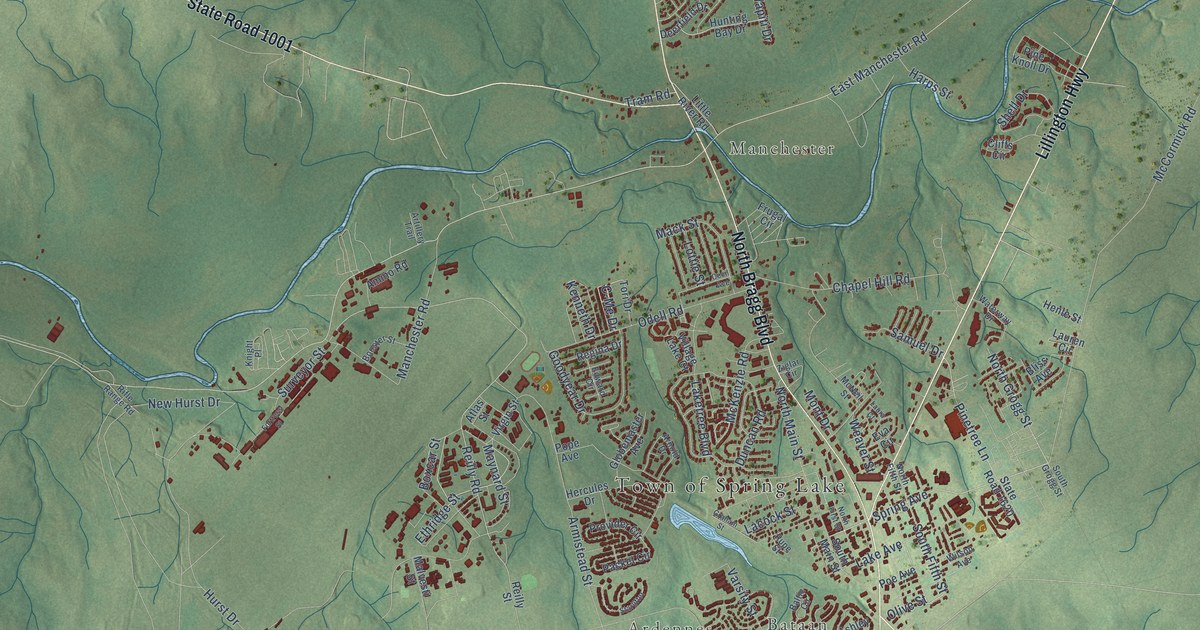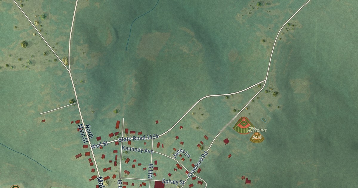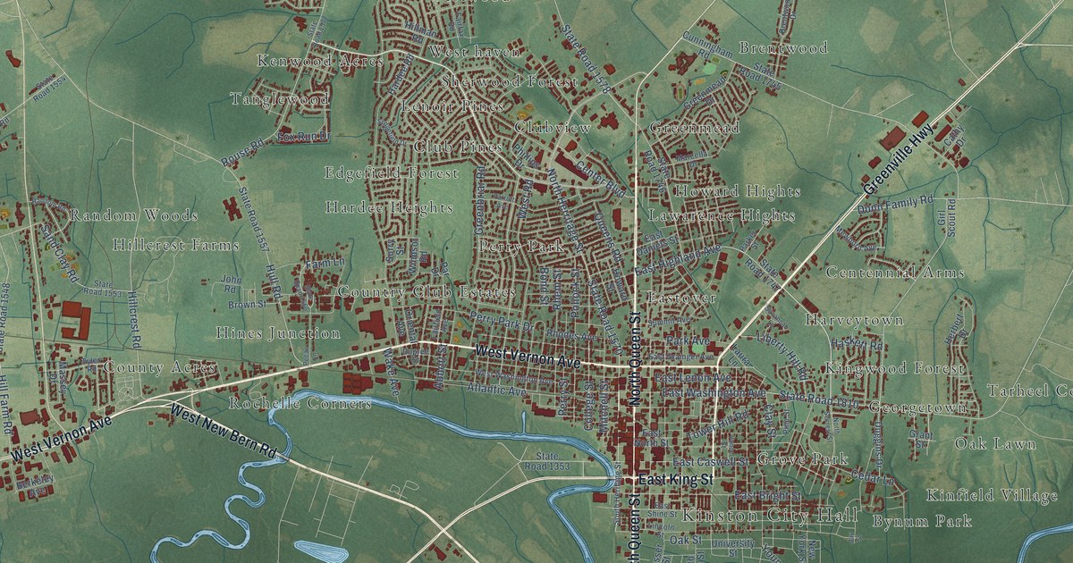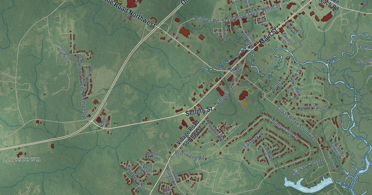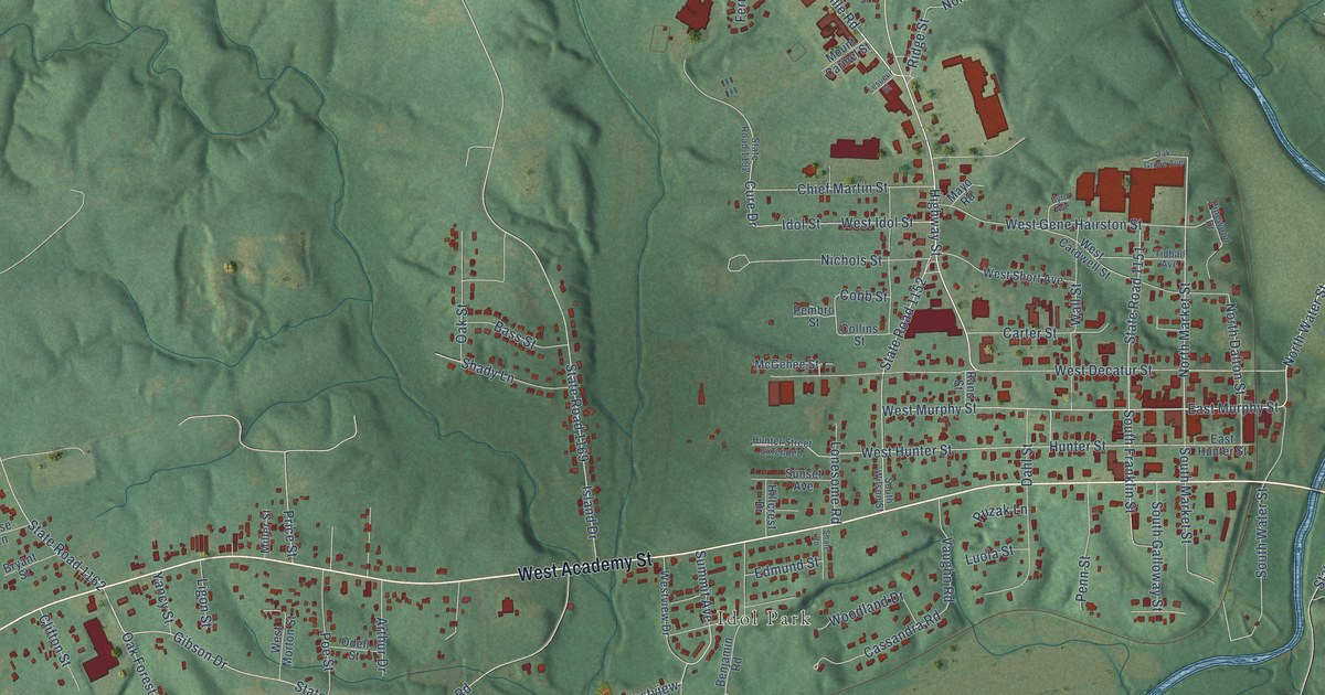
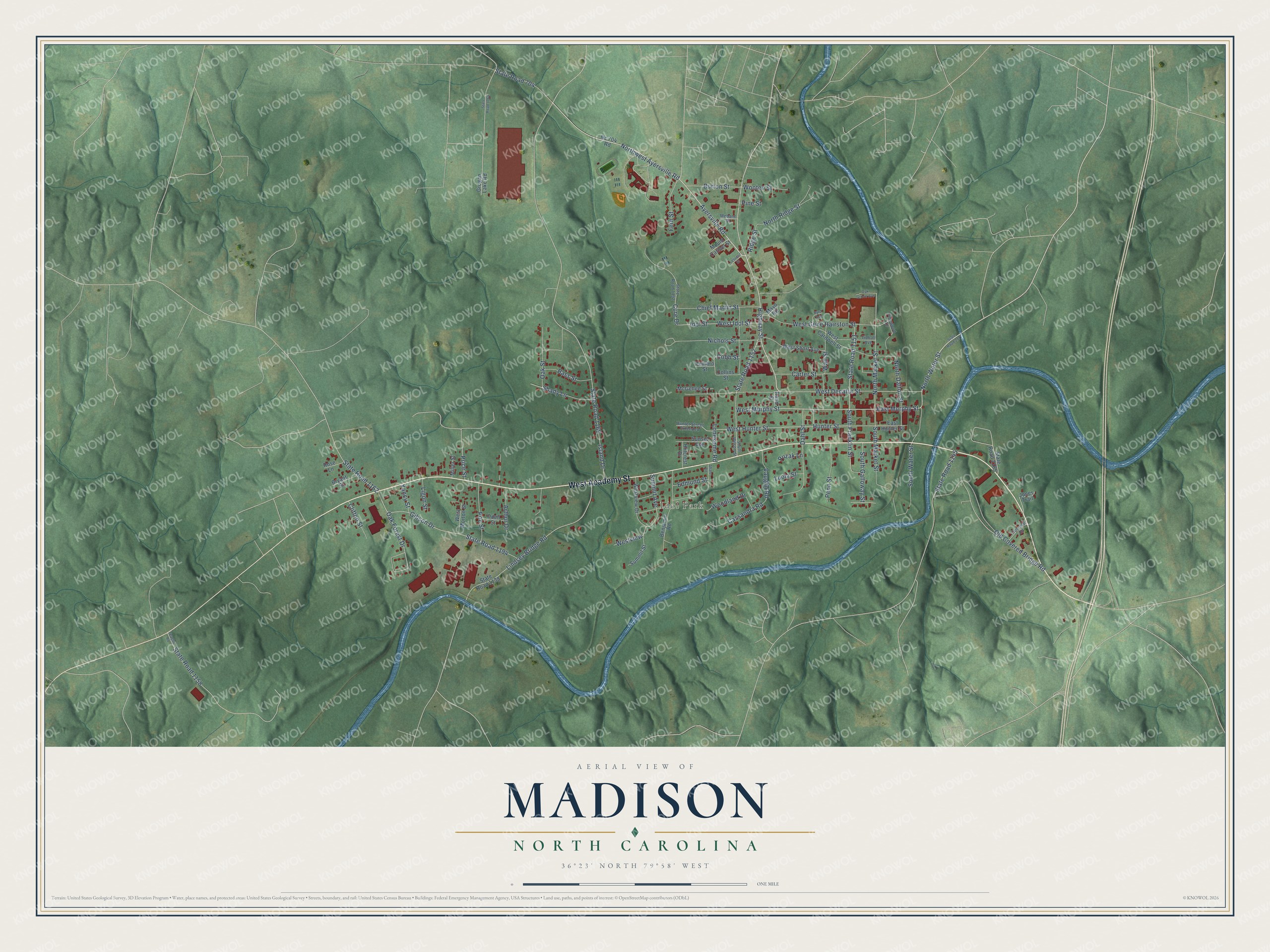
This beautifully detailed map of Madison, North Carolina was created in 2026 using aerial imagery combined with modern topographical, census, street and landmark data. It's a modern aerial view of Madison in Rockingham County, North Carolina, that combines modern data with a vintage aesthetic. The roads feature printed names, and if you look closely you can find your exact house accurately shown in its correct location.
Explore an aerial view of Madison, North Carolina
On this map you'll find Idol Park, West Academy Street, Ayersville Road, State Road 704, Northwest Ayersville Road, North Water Street, East Murphy Street, Highway Street, West Murphy Street, North Market Street, Oak Forest Drive, North Ridge Street, and more. Each red shape is a building, so zoom in on the preview and look for yours.
Every town has a first chapter, and Madison is no exception. The record at dncr.nc.gov puts it this way: "Born in Madison on December 25, 1894, he graduated from North Carolina College of Agricultural and Mechanic Arts (now North Carolina State University) in 1916."
Madison is a town in Rockingham County. The Census Bureau counted 2,129 people here in 2020.
Take a closer look at the Madison map
Names on this map
These names are printed on this map.
Places: Idol Park.
Streets and roads: West Academy Street, Ayersville Road, State Road 704, Northwest Ayersville Road, North Water Street, East Murphy Street, Highway Street, West Murphy Street, North Market Street, Oak Forest Drive, North Ridge Street, South Franklin Street.
More street names, A to Z
Arthur Drive, Bass Street, Benjamin Road, Bryant Street, Burton Street, Byrd Avenue, Carter Street, Cassandra Road, Chief Martin Street, Clifton Street, Cobb Street, Collins Street, Colonial Road, Cure Drive, Dahl Street, East Hunter Street, Edmund Street, Fern Street, Gibson Drive, Grogan Lake Road, Hillcrest Drive, Hunter Street, Hunter Street Extended, Idol Street, Island Drive, Jones Trail, Lesueur Street, Ligon Street, Lindsey Bridge Road, Lonesome Road, Luola Street, Mayo Road, McGehee Street, Mebane Street, Miller Street, Mount Carmel Street, Nc 704 Road, Nichols Street, North Dalton Street, Oak Grove Avenue, Oak Street, Odell Street, Old Covered Bridge Road, Pembro Street, Penn Street, Pine Street, Pinewood Drive, Poe Street, Price Street, Puzak Lane, Rand Street, Ridge Street, Rose Lane, Shady Lane, Shale Road, South Galloway Street, South Market Street, South Water Street, South Wilson Street, State Road 1138, State Road 1145, State Road 1151, State Road 1152, State Road 1158, State Road 1162, State Road 1168, State Road 1169, State Road 1192, State Road 1194, State Road 2177, State Road 2185, Summit Avenue, Summit Street, Sunset Avenue, Teague Road, Tidball Avenue, Vaughn Road, Wall Street, West Cardwell Street, West Decatur Street, West Gene Hairston Street, West Hunter Street, West Idol Street, West Morton Street, West Short Avenue, Westview, Westview Drive, Woodland Drive, Wooten Street, Yancy Street.
Created by KNOWOL in 2026. The buildings are small red shapes, the roads carry their printed names, and shaded relief shows the shape of the land. The title panel reads "AERIAL VIEW OF MADISON NORTH CAROLINA" with 36°23' NORTH 79°58' WEST.
Hang it in the hallway, the office or the cabin, or give it to someone who left Madison and still calls it home. Open the preview and look for a street you know. See sizes and frames for the Madison map.