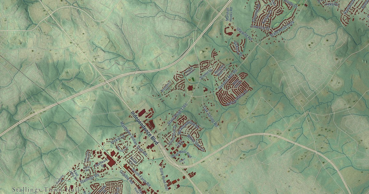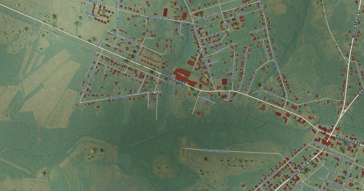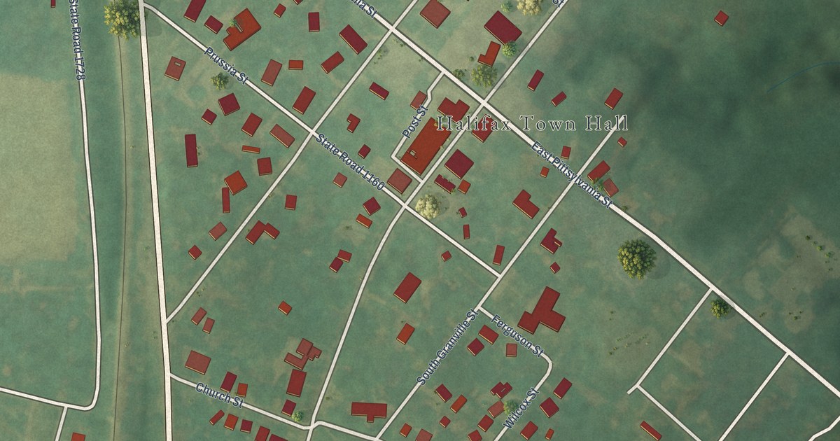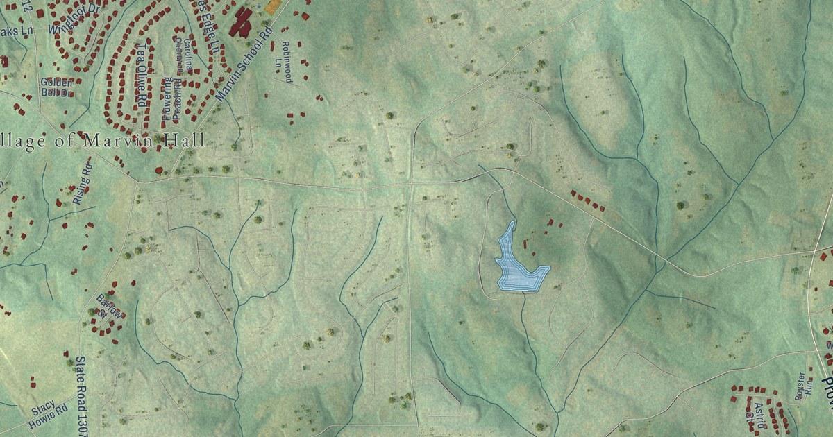
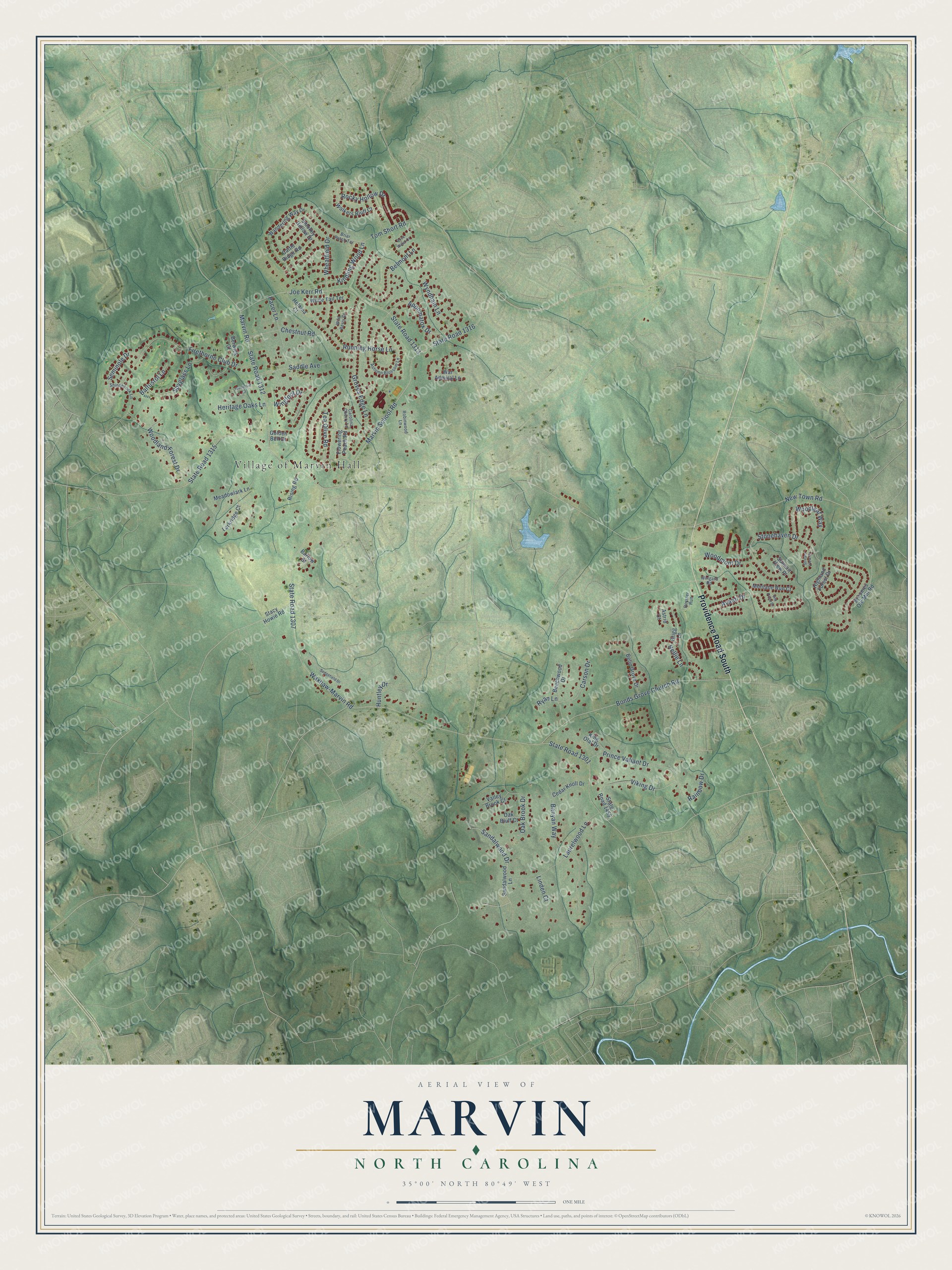
This beautifully detailed map of Marvin, North Carolina was created in 2026 using aerial imagery combined with modern topographical, census, street and landmark data. It's a modern aerial view of Marvin in Union County, North Carolina, that combines modern data with a vintage aesthetic. The roads feature printed names, and if you look closely you can find your exact house accurately shown in its correct location.
Explore an aerial view of Marvin, North Carolina
On this map you'll find Village of Marvin Hall, Providence Road South, State Road 1307, Waxhaw-Marvin Road, State Road 1315, New Town Road, Stonehaven Drive, Marvin School Road, State Road 1316, Joe Kerr Road, State Road 1313, Marvin Road, and more. Each red shape is a building, so zoom in on the preview and look for yours.
Here is a piece of Marvin history, in the words of the record. The Village of Marvin puts it this way: "Chartered as a village in 1994, our rich history runs deep in Marvin. We were originally inhabited by woodland Indians who lived among the forest and thickets, and abundant wildlife of the Union County wilderness. Early European settlers found our area and soon established a prosperous agrarian economy and simple lifestyle defined by cotton farming and building of community."
Marvin is a village in Union County. The Census Bureau counted 6,358 people here in 2020.
Take a closer look at the Marvin map
Names on this map
These names are printed on this map.
Places: Village of Marvin Hall.
Streets and roads: Providence Road South, State Road 1307, Waxhaw-Marvin Road, State Road 1315, New Town Road, Stonehaven Drive, Marvin School Road, State Road 1316, Joe Kerr Road, State Road 1313, Marvin Road, State Road 1312.
More street names, A to Z
Appomatox Drive, Astrid Court, Autumn Blossom Lane, Avanti Drive, Baltusrol Lane, Banyan Way, Barlow Street, Beechwood Drive, Belle Grove Drive, Belmont Lane, Berwick Court, Bonds Grove Church Road, Briar Patch Terrace, Broomes Old Mill Road, Carolina Cherry Lane, Carson Drive, Cattle Ridge Road, Cedar Knoll Drive, Chestnut Road, Firethorne Club Drive, Flowering Peach Road, Golden Bell Drive, Grigg Lane, Groves Edge Lane, Helaina Court, Heritage Oaks Lane, Highland Forest Drive, Huntley Drive, Kindling Wood Lane, King Olaf Drive, Larkridge Court, Laurelwood Lane, Linden Court, Meadowlark Lane, Montane Run Court, Nellie Lane, Oak Bluff Court, Oak Brook Drive, Pacer Lane, Prince Valiant Drive, Rainbow Drive, Rising Road, Robinwood Lane, Rock Water Court, Rocky Hollow Drive, Royster Run, Running Horse Lane, Ryan Lane, Saddle Avenue, Sandalwood Drive, Sandalwood Lane, Sedgefield Drive, Seminole Drive, Shinnecock Lane, Silk Pond Drive, Smokey Hollow Drive, Spyglass Lane, Stacy Howie Road, State Road 1301, State Road 1455, Stream View Court, Summit View Place, Tea Olive Road, Tom Short Road, Valley Brook Court, Viking Drive, Walkers Bluff Court, Wandering Way Drive, War Admiral Lane, Wheatfield Drive, White Tail Terrace, Wild Berry Court, Wingard Road, Wingfoot Drive, Woodcliff Court, Woodland Forest Drive, Woodleaf Way, Woodmont Drive, Wyndham Lane.
Created by KNOWOL in 2026. The buildings are small red shapes, the roads carry their printed names, and shaded relief shows the shape of the land. The title panel reads "AERIAL VIEW OF MARVIN NORTH CAROLINA" with 35°00' NORTH 80°49' WEST.
It suits a den, a classroom or a front hall, and it makes a gift for anyone with Marvin roots. Open the preview and find the block you know. See sizes and frames for the Marvin map.