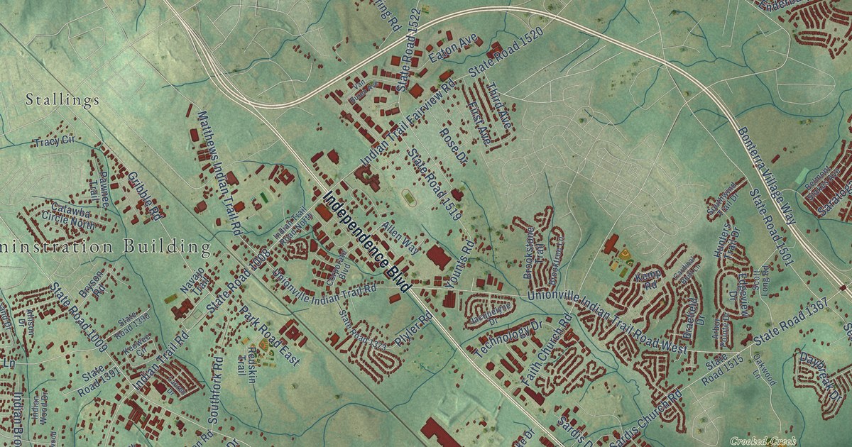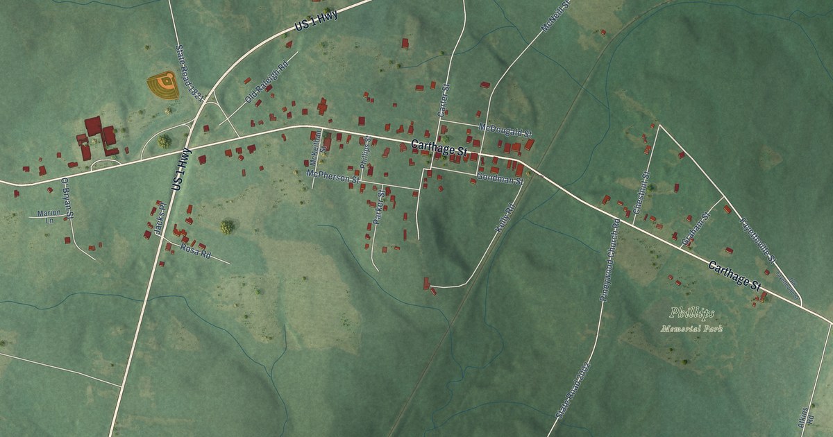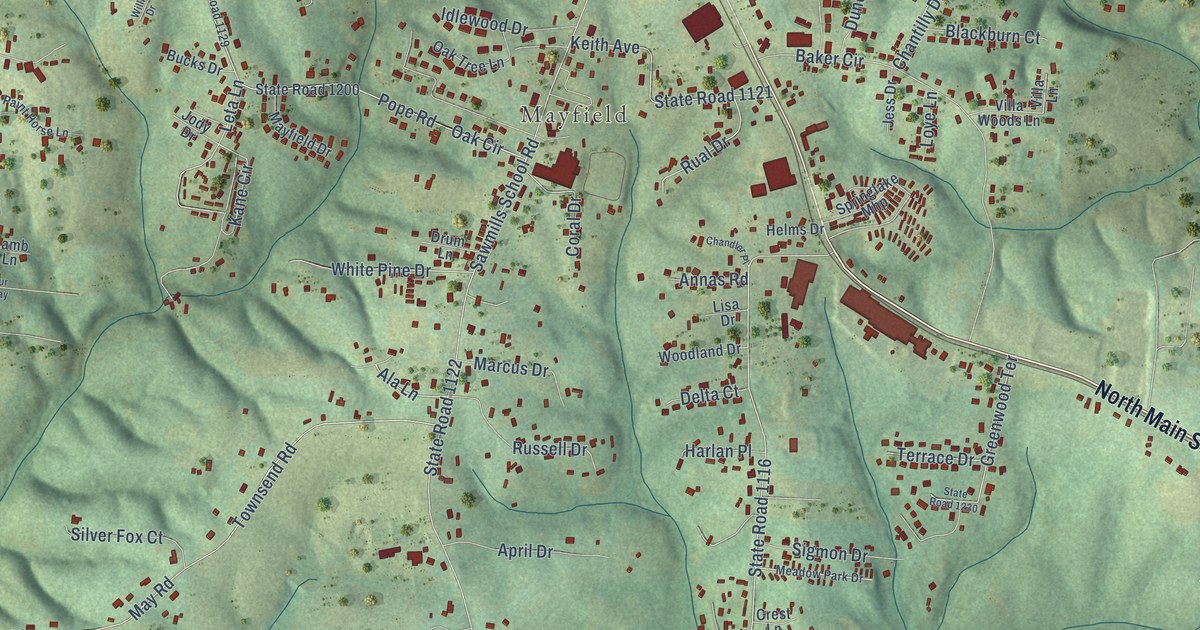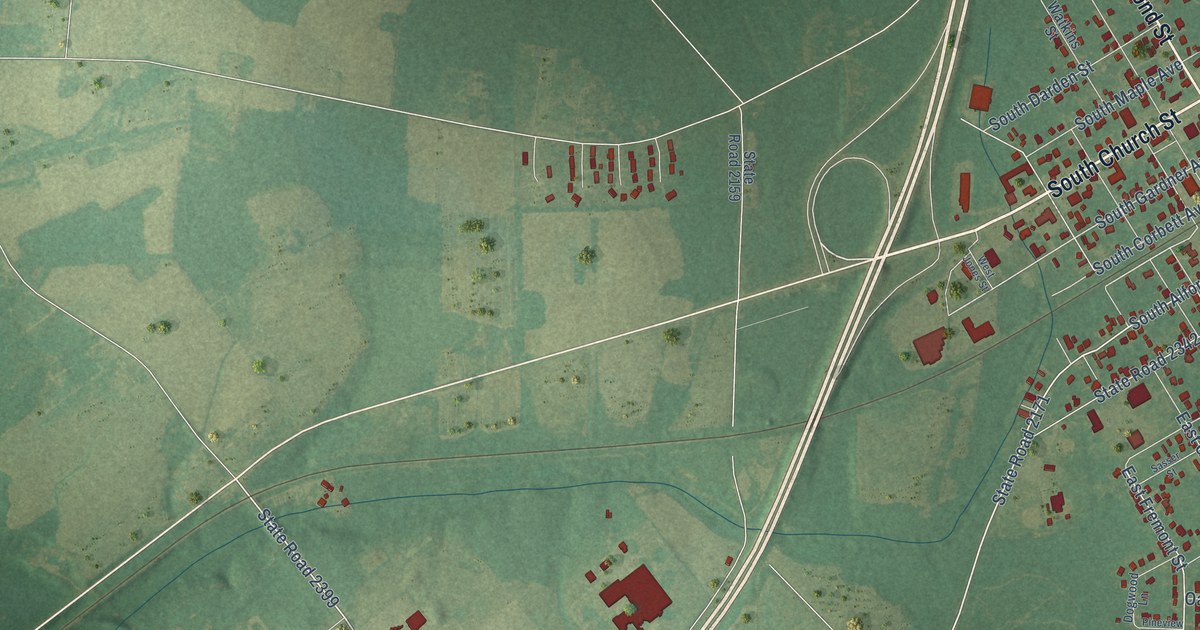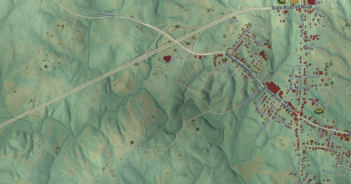
This beautifully detailed map of Mount Pleasant, North Carolina was created in 2026 using aerial imagery combined with modern topographical, census, street and landmark data. It's a modern aerial view of Mount Pleasant in Cabarrus County, North Carolina, that combines modern data with a vintage aesthetic. The roads feature printed names, and if you look closely you can find your exact house accurately shown in its correct location.
Explore an aerial view of Mount Pleasant, North Carolina
On this map you'll find Mount Pleasant Town Hall, State Road 73 East, East Franklin Street, State Road 49 North, West Franklin Street, North Main Street, South Main Street, North College, North Drive, Oldenburg Drive, Washington Street, Mount Pleasant Road South, and more. Each red shape is a building, so zoom in on the preview and look for yours.
Here is a piece of Mount Pleasant history, in the words of the record. The record at dncr.nc.gov puts it this way: "Busby, the school reopened two years later as the Collegiate Institute at Mount Pleasant, a preparatory school for young men."
Mount Pleasant is a town in Cabarrus County. The Census Bureau counted 1,671 people here in 2020.
Take a closer look at the Mount Pleasant map
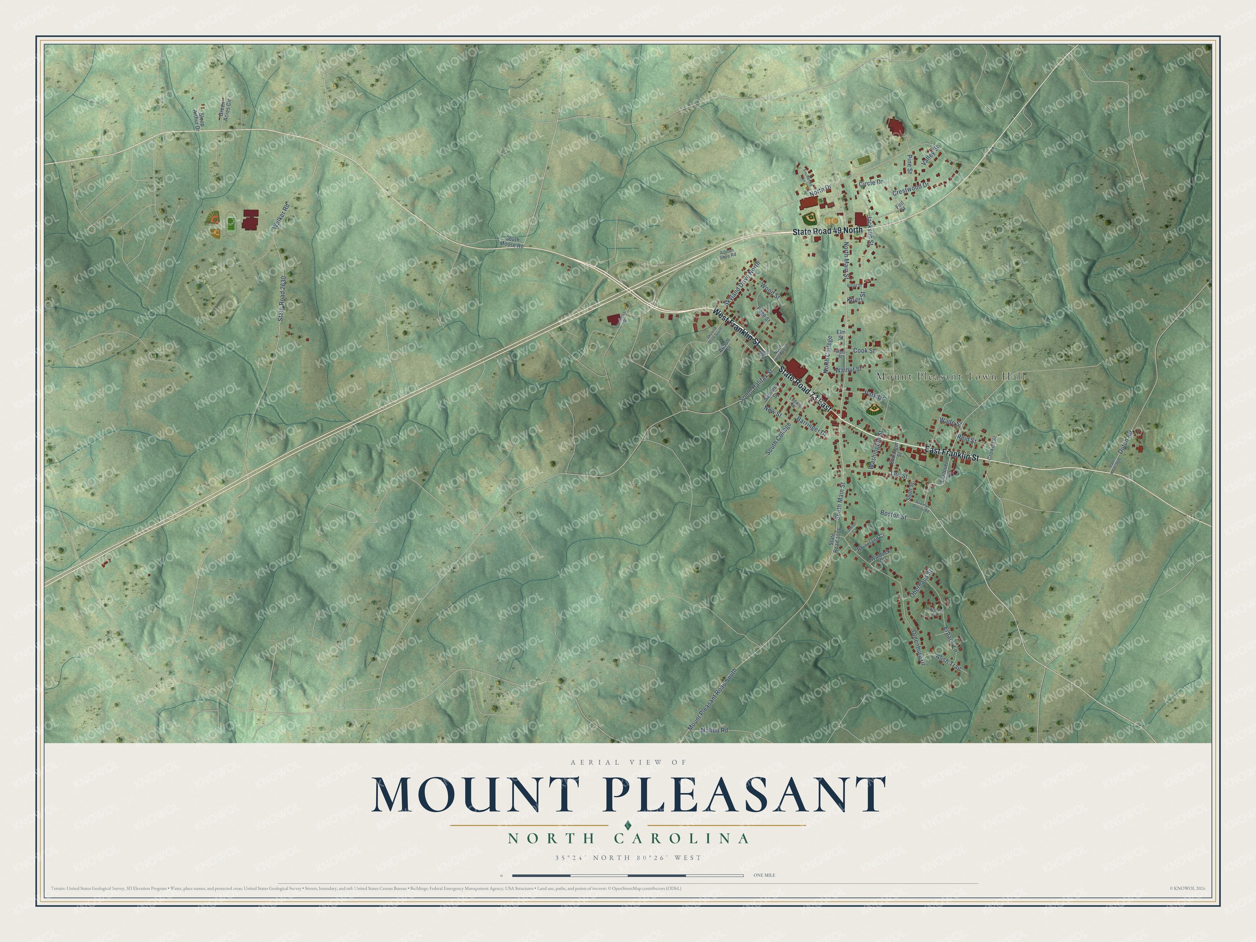
Names on this map
These names are printed on this map.
Places: Mount Pleasant Town Hall.
Streets and roads: State Road 73 East, East Franklin Street, State Road 49 North, West Franklin Street, North Main Street, South Main Street, North College, North Drive, Oldenburg Drive, Washington Street, Mount Pleasant Road South, Jackson Street.
More street names, A to Z
Abbott Street, Alish Trail, Allman Shop Road, Barringer Drive, Barringer Street, Bilverlor Court, Boston Street, Bowman Barrier Road, Broad Street, Circle Drive, Cook Street, Crestwood Drive, Crowell Street, Duchess Drive, Dutch Road, Eagle Street, Eastover Drive, Elm Street, Enchanted Lane, Erbach Lane, Foil Street, Green Acres Circle, Kluttz Street, Lee Street, Lorelei Court, Ludwig Street, Malibu Road, Mpci Street, New Street, North Halifax Street, Oberhaus Street, Page Street, Park Drive, Pine Street, Reid Street, Rhineland Court, Short Street, Skyland Drive North, Skyland Drive South, Sloop Arthur Drive, South College, South Halifax Street, South Moose Road, State Road 1006, State Road 2604, State Road 2630, Summer Street, Valley Street, Wade Street, Waldeck Court, Walker Road, Walnut Street, Wood Street.
Created by KNOWOL in 2026. The buildings are small red shapes, the roads carry their printed names, and shaded relief shows the shape of the land. The title panel reads "AERIAL VIEW OF MOUNT PLEASANT NORTH CAROLINA" with 35°24' NORTH 80°26' WEST.
It suits a den, a classroom or a front hall, and it makes a gift for anyone with Mount Pleasant roots. Open the preview and find the block you know. See sizes and frames for the Mount Pleasant map.