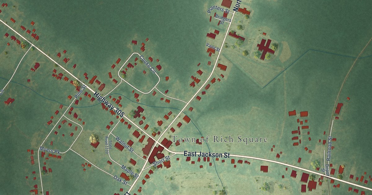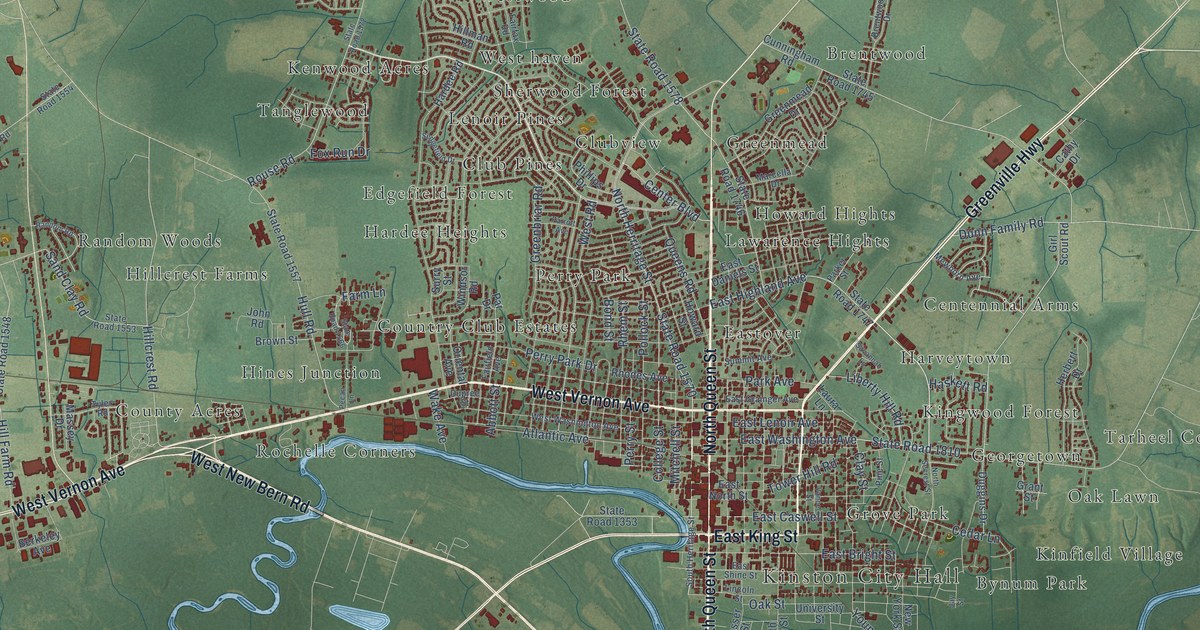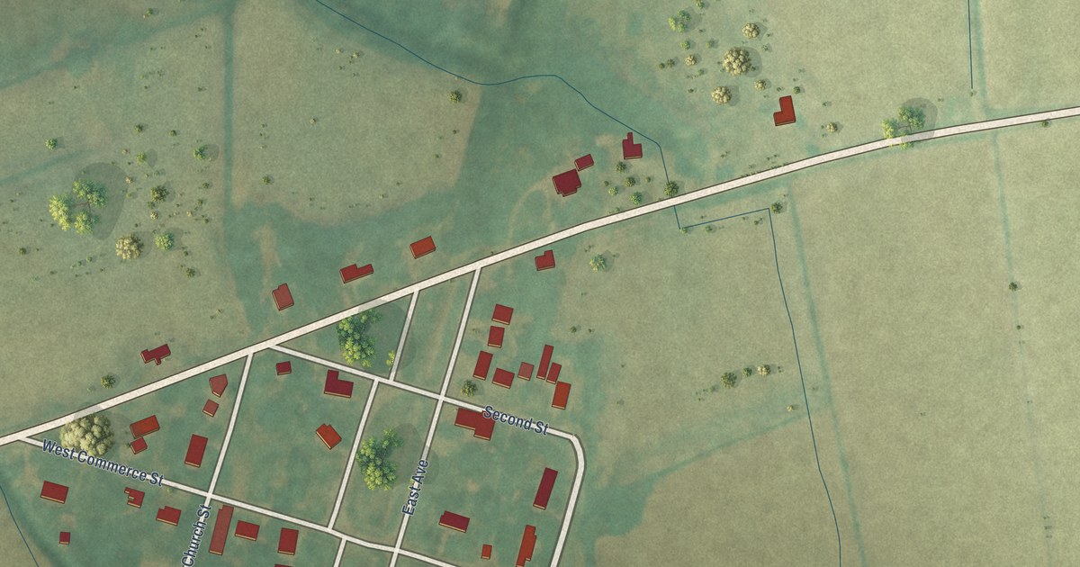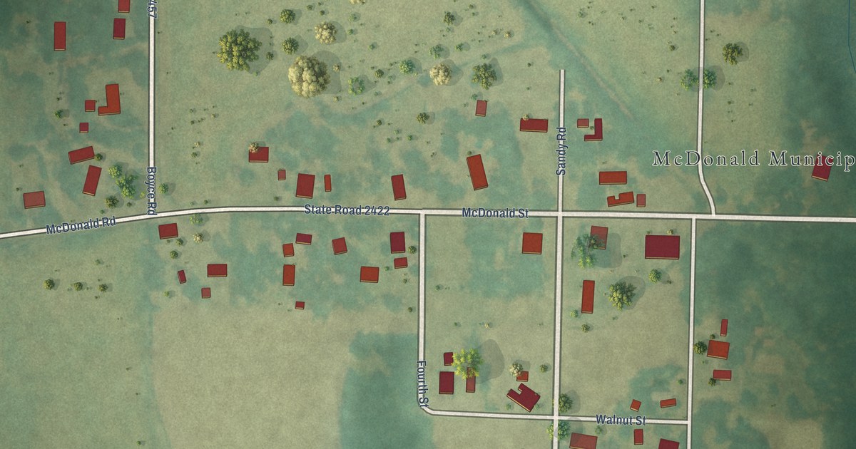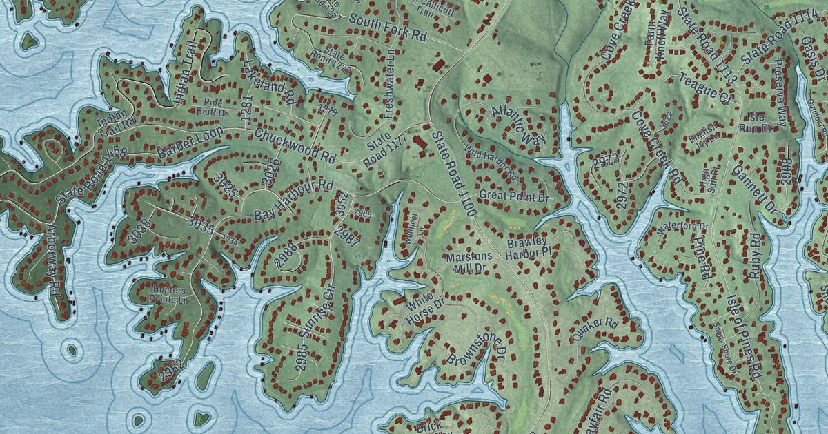
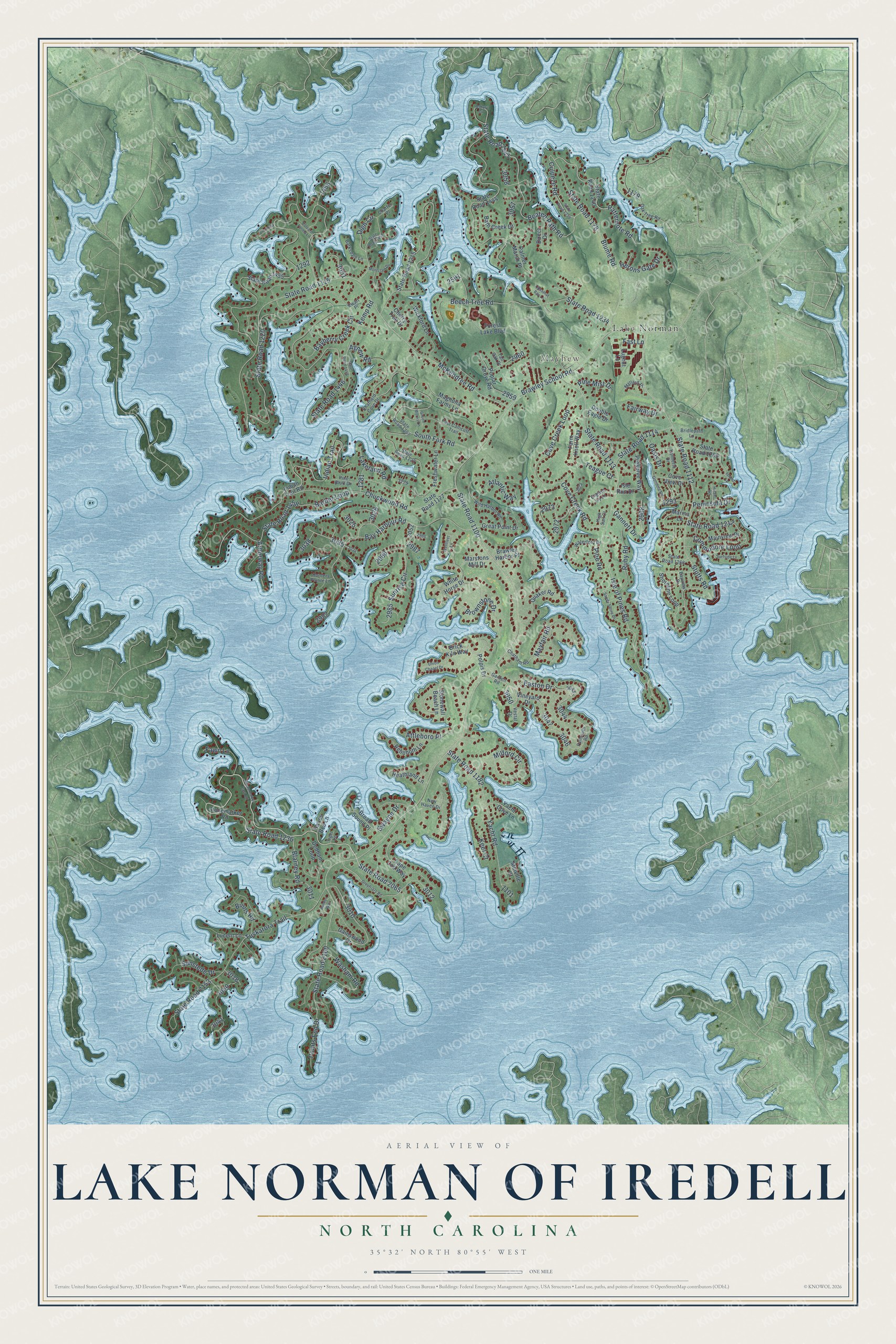
This beautifully detailed map of Lake Norman of Iredell, North Carolina was created in 2026 using aerial imagery combined with modern topographical, census, street and landmark data. It's a modern aerial view of Lake Norman of Iredell in Iredell County, North Carolina, that combines modern data with a vintage aesthetic. The roads feature printed names, and if you look closely you can find your exact house accurately shown in its correct location.
Explore an aerial view of Lake Norman of Iredell, North Carolina
On this map you'll find Mayhew, Lake Norman, State Road 1236, State Road 2065, Easton Drive, Culpeze Road, Points End Drive, Brawley School Road, State Road 1443, Patternote Road, State Road 1100, Kemp Road, and more. Each red shape is a building, so zoom in on the preview and look for yours.
Lake Norman of Iredell is a community in Iredell County. The Census Bureau counted 11,395 people here in 2020. The map prints the town name in its title panel, with the coordinates below it.
Take a closer look at the Lake Norman of Iredell map
Names on this map
These names are printed on this map.
Places: Mayhew and Lake Norman.
Streets and roads: State Road 1236, State Road 2065, Easton Drive, Culpeze Road, Points End Drive, Brawley School Road, State Road 1443, Patternote Road, State Road 1100, Kemp Road, McKendree Road, State Road 1115.
More street names, A to Z
Agnew Road, Arborway Road, Asbury Circle, Atlantic Way, Attleboro Place, Barber Loop, Barksdale Lane, Bath Creek Drive, Bayberry Creek Circle, Bay Harbour Road, Bayview Drive, Beaten Path Road, Beech Tree Road, Binns Road, Blarney Road, Blume Road, Brawley Harbor Place, Brick Kiln Way, Bridlepath Lane, Broad Sound Place, Brownstone Drive, Bunker Way, Cape Cod Way, Charter Place, Chatfield Cove Drive, Chatham Road, Cherry Tree Drive, Chestnut Bay Lane, Chuckwood Road, Colvard Farms Lane, Commodore Loop, Courtney Lane, Cove Creek Loop, Cove Creek Road, Cove View Drive, Dedham Loop, Digh Circle, Direct Drive, Double Eagle Drive, East Callicutt Trail, English Ivy Lane, Ewart Place, Fairway Drive, Falmouth Road, Farm Knoll Way, Fast Lane, Fawn Lane, Forest Lake Boulevard, Freshwater Lane, Gainswood Drive, Gannett Drive, Garden Road, Gondola Road, Great Point Drive, Green Morris Lane, Greyfriars Road, Hanes Bee Lane, Heathland Lane, Herons Gate Drive, High Sail Court, Hiram Road, Hunters Pointe Lane, Indian Trail, Indian Trail Road, Island Lane, Isle of Pines Road, Isle Run Drive, Keel Court, Lakeland Road, Lucent Lane, Lugnut Lane, Magnolia Farms Lane, Mainview Drive, Mallard Place, Marina Lane, Marstons Mill Drive, Mayfair Road, Melville Court, Milford Circle, Montclair Drive, New Haven Drive, Oak Tree Road, Oasis Drive, Palmer Marsh Place, Palmetto Drive, Peninsula Drive, Pine Bluff Drive, Pine Mist Drive, Pine Road, Polpis Drive, Poplar Grove Road, Preserve Way, Quaker Road, Rehoboth Lane, Ruby Road, Sandy Shore Drive, Shoreline Loop, South Fork Road, State Road 1112, State Road 1113, State Road 1114, State Road 1177, State Road 1178, State Road 1182, State Road 1212, State Road 1215, State Road 1220, State Road 1222, State Road 1234, State Road 1239, State Road 1240, State Road 1257, State Road 1266, State Road 1282, State Road 1444, State Road 1445, State Road 1446, State Road 1455, State Road 1457, State Road 1458, State Road 2153, State Road 2160, Stonemarker East Road, Stonemarker Road, Stonewall Beach Lane, Stutts Road, Sunrise Circle, Sunstede Drive, Surfside Lane, Swayne Drive, Tall Oak Drive, Teague Court, Tiger Lane, Tuskarora Trail, Union Chapel Drive, Vestal Drive, Vineyard Drive, Washam Road, Waterford Drive, Wellfleet Lane, White Horse Drive, Wickford Lane, Wild Harbor Road, Yacht Cove Lane, Yacht Road.
Created by KNOWOL in 2026. The buildings are small red shapes, the roads carry their printed names, and shaded relief shows the shape of the land. The title panel reads "AERIAL VIEW OF LAKE NORMAN OF IREDELL NORTH CAROLINA" with 35°32' NORTH 80°55' WEST.
It looks right in a kitchen, an office or a den, and it's a gift for anyone who grew up in Lake Norman of Iredell or moved away. Open the preview and find your street. See sizes and frames for the Lake Norman of Iredell map.