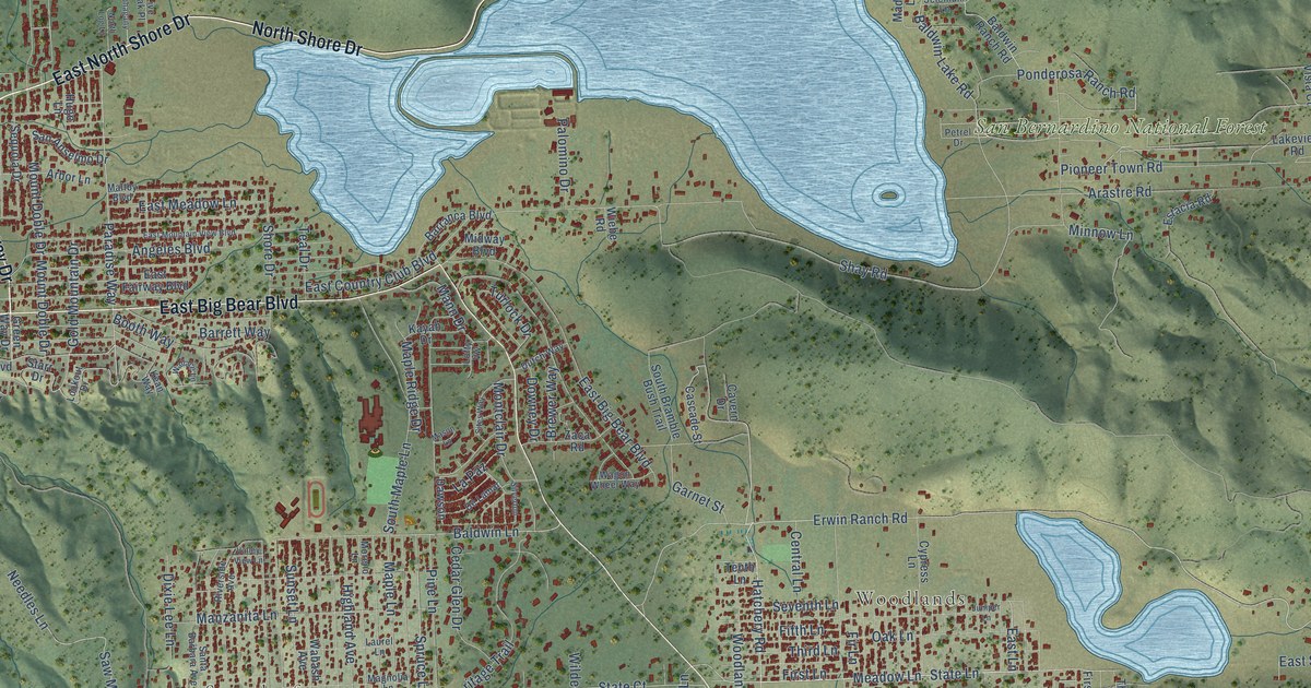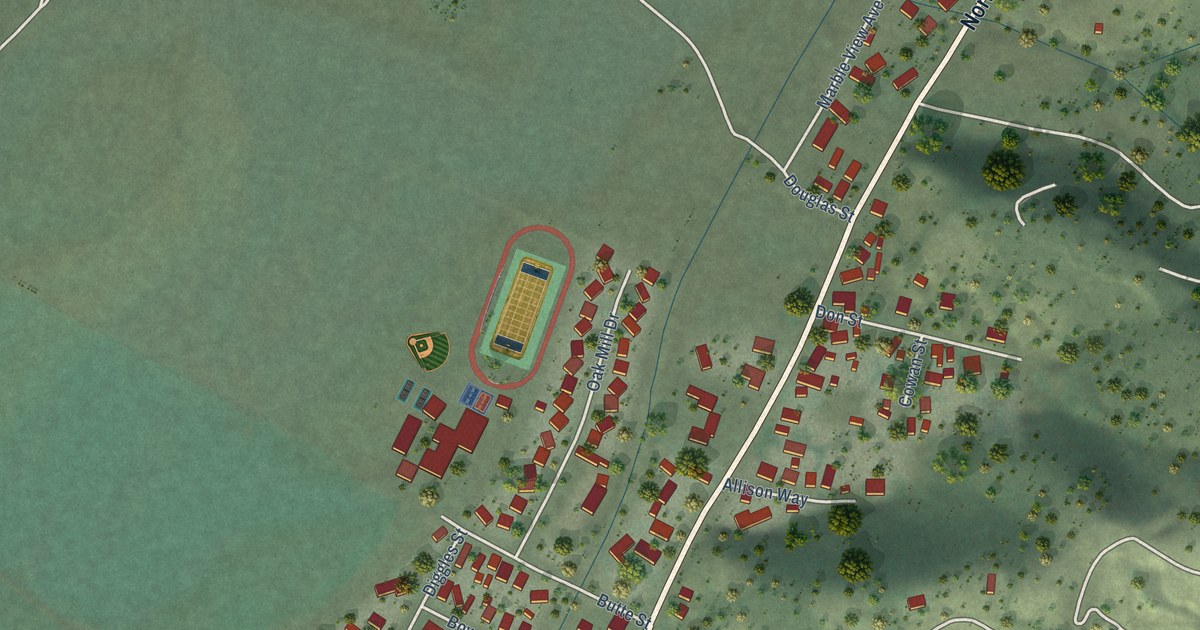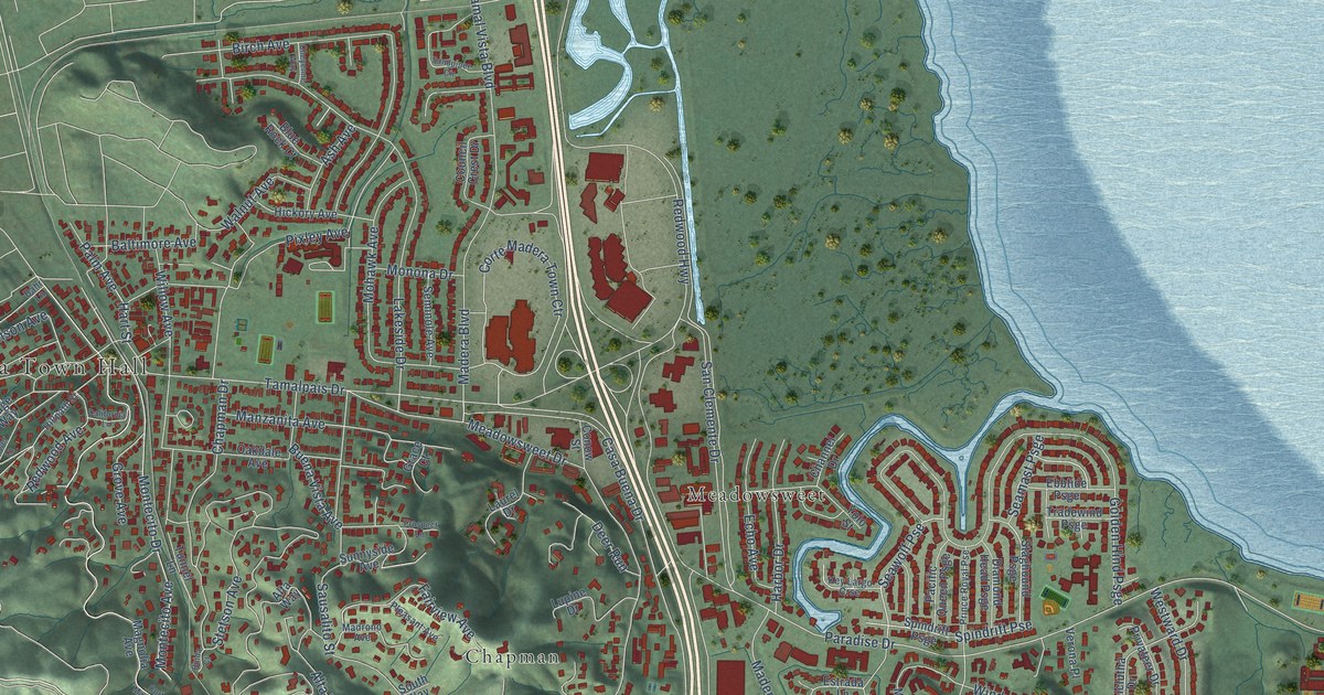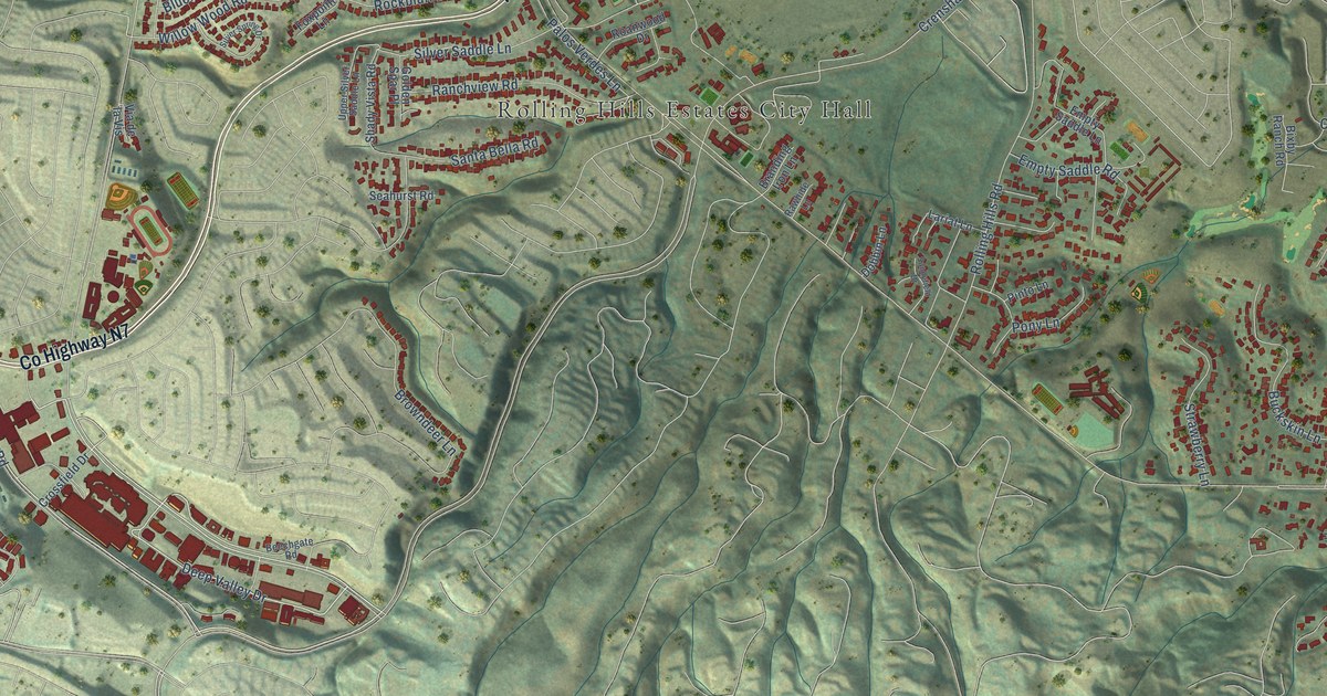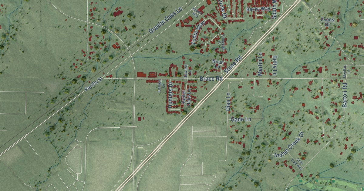
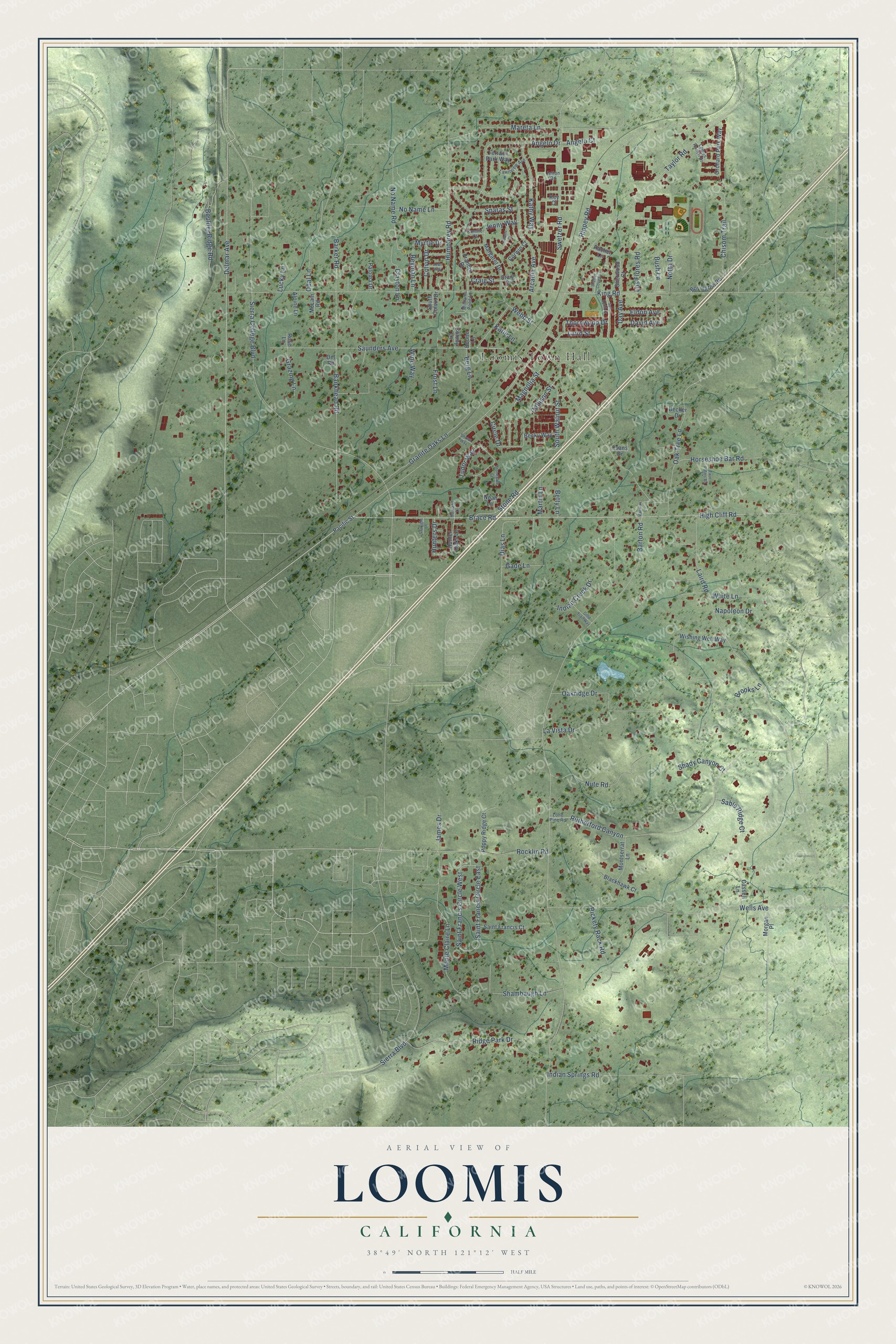
This beautifully detailed map of Loomis, California was created in 2026 using aerial imagery combined with modern topographical, census, street and landmark data. It's a modern aerial view of Loomis in Placer County, California, that combines modern data with a vintage aesthetic. The roads feature printed names, and if you look closely you can find your exact house accurately shown in its correct location.
Explore an aerial view of Loomis, California
On this map you'll find Loomis Town Hall, Brace Road, High Cliff Road, Delmar Avenue, Boulder Ridge Road, Barton Road, Taylor Road, Sierra College Boulevard, King Road, Horseshoe Bar Road, Rutherford Canyon, Saunders Avenue, and more. Each red shape is a building, so zoom in on the preview and look for yours.
Loomis is a town in Placer County. The Census Bureau counted 6,836 people here in 2020. The map prints the town name in its title panel, with the coordinates below it.
Take a closer look at the Loomis map
Names on this map
These names are printed on this map.
Places: Loomis Town Hall.
Streets and roads: Brace Road, High Cliff Road, Delmar Avenue, Boulder Ridge Road, Barton Road, Taylor Road, Sierra College Boulevard, King Road, Horseshoe Bar Road, Rutherford Canyon, Saunders Avenue, Rippey Road.
More street names, A to Z
Alpine Lane, Angelo Court, Angelo Drive, Arcadia Avenue, Bankhead Road, Barker Road, Becker Drive, Becky Way, Berg Lane, Betty Lane, Blackhawk Court, Boone Lane, Boyington Road, Brooks Lane, Bush Lane, Callison Street, Cassell Lane, Chisom Trail, Circle Drive, Clayton Lane, Colony Lane, Colvin Drive, Connie Court, Corwin Court, Craig Court, Craig Street, David Avenue, Day Avenue, Del Road, Dias Lane, Eldon Avenue, Evans Drive, Francis Drive, Frost Lane, Gade Lane, Gold Trail Way, Granite Oaks Lane, Grazing Lane, Helens Court, Howard Lane, Humphrey Road, Hunter Oaks Lane, Hunters Drive, Indian Creek Drive, Indian Springs Road, James Drive, Jenny Way, Jetton Road, Joan Way, Kathy Way, Katie Lane, Key Court, Laird Road, Laird Street, La Vista Drive, Lawnview Avenue, Lemos Ranch Drive, Lone Pine Road, Los Flores Road, Lucky Lane, Magnolia Street, Mareta Lane, Margaret Drive, Martin Lane, McLain Road, Monte Claire Lane, Montserrat Lane, Morgan Place, Morillas Lane, Myrtle Drive, Napoleon Drive, Noah Lane, No Name Lane, No Name Road, Notta Drive, Nute Road, Oakridge Drive, Oak Tree Lane, Opal Lane, Orchard Park Way, Pacific Street, Paloma Drive, Poppy Ridge Court, Rachel Lane, Reyman Lane, Rickety Rack Road, Ridge Park Drive, Rocklin Road, Rose Lane, Sable Ridge Court, Saint Francis Circle East, Saint Francis Circle West, Saint Francis Court, Shady Canyon Court, Shambaugh Lane, Shawn Way, Shelter Cove Drive, Sherwood Court, Sierra Boulevard, South Colvin Drive, South Walnut Street, Sparas Street, Starlight Lane, Stonegate Court, Stone Road, Sun Knoll Drive, Swetzer Road, Terrace Park Way, Thornwood Drive, Tudor Way, Twin Palms Road, Webb Street, Wells Avenue, White Lane, Williams Pond Lane, Wine Way, Wishing Well Way.
Created by KNOWOL in 2026. The buildings are small red shapes, the roads carry their printed names, and shaded relief shows the shape of the land. The title panel reads "AERIAL VIEW OF LOOMIS CALIFORNIA" with 38°49' NORTH 121°12' WEST.
It suits a den, a classroom or a front hall, and it makes a gift for anyone with Loomis roots. Open the preview and find the block you know. See sizes and frames for the Loomis map.