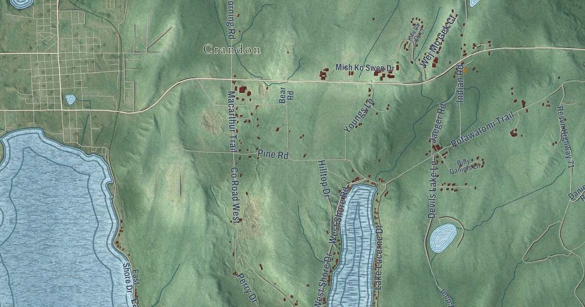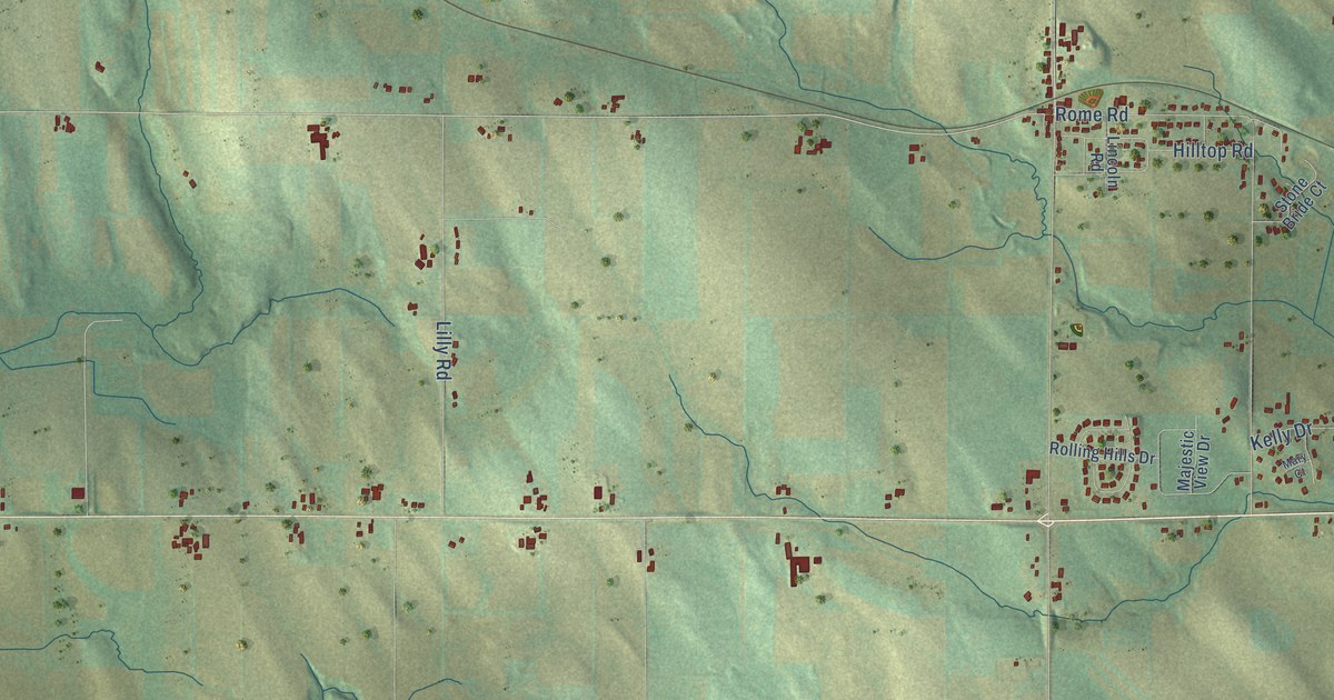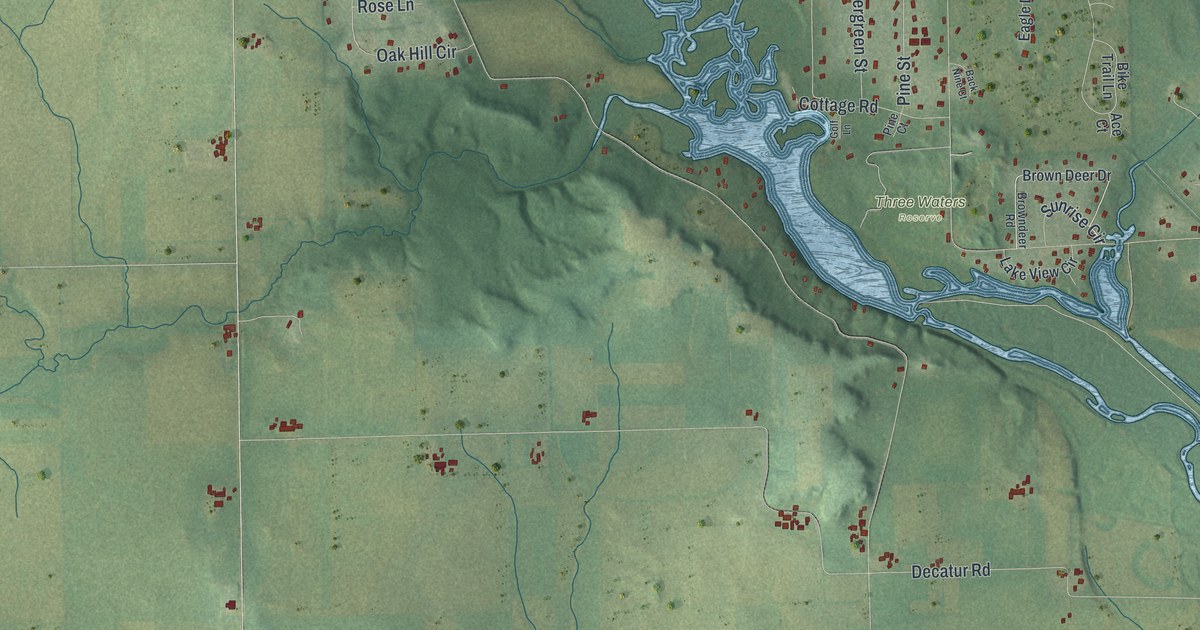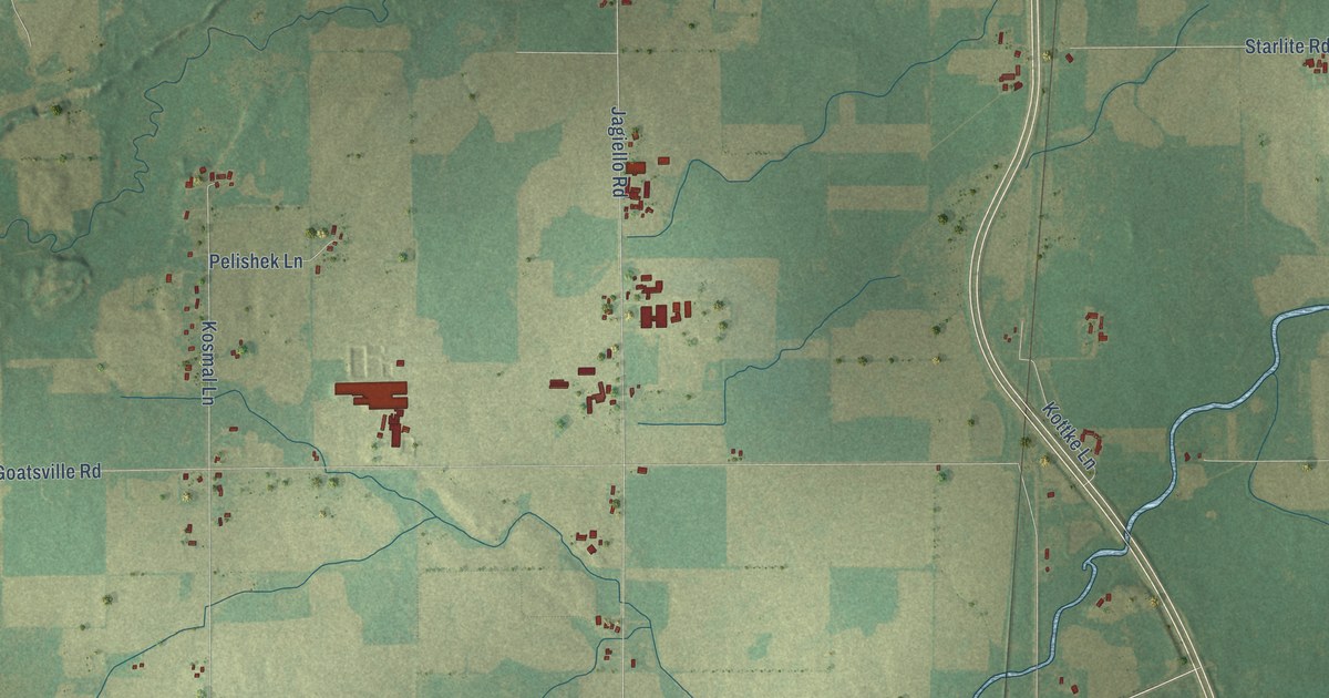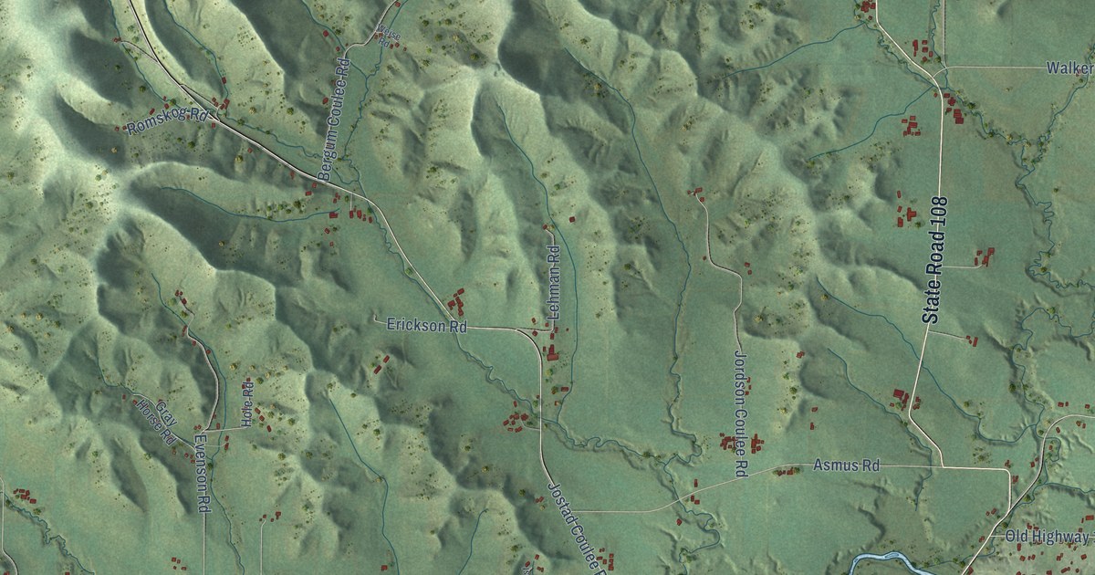
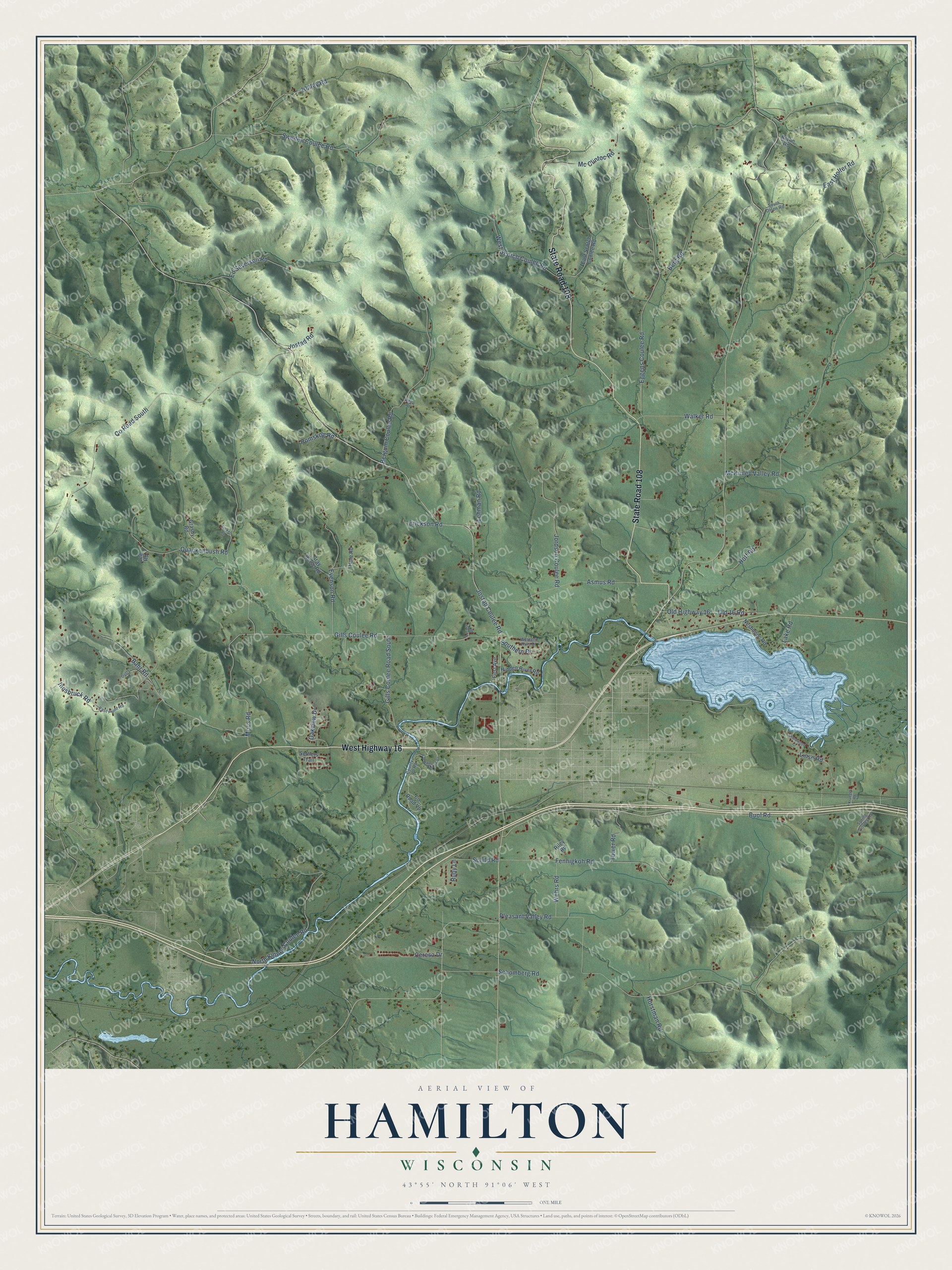
This beautifully detailed map of Hamilton, Wisconsin was created in 2026 using aerial imagery combined with modern topographical, census, street and landmark data. It's a modern aerial view of Hamilton in La Crosse County, Wisconsin, that combines modern data with a vintage aesthetic. The roads feature printed names, and if you look closely you can find your exact house accurately shown in its correct location.
Explore an aerial view of Hamilton, Wisconsin
On this map you'll find State Road 108, West Highway 16, North Kinney Coulee Road, Jostad Coulee Road, Gills Coulee Road, Pleasant Valley Road, McKinley Valley Road, Co Road South, Buol Road, Eggens Coulee Road, Bahr Road, Fennigkoh Road, and more. Each red shape is a building, so zoom in on the preview and look for yours.
Hamilton has a story worth telling. The Internet Archive puts it this way: "His donations in that direction were the
site where the West Salem High School stands, and the lots on which the Baptist."
Hamilton is a town in La Crosse County. The Census Bureau counted 2,428 people here in 2020.
Take a closer look at the Hamilton map
Names on this map
These names are printed on this map.
Streets and roads: State Road 108, West Highway 16, North Kinney Coulee Road, Jostad Coulee Road, Gills Coulee Road, Pleasant Valley Road, McKinley Valley Road, County Road South, Buol Road, Eggens Coulee Road, Bahr Road, Fennigkoh Road.
More street names, A to Z
Asmus Road, Berg Road, Bergum Coulee Road, Bryhn Road, Ceresa Drive, County Highway Vp, County Road Vp, County Vp Road, Dusty Road, East Holter Road, East Point Road, East Scotch Coulee Road, Ed Severson Road, Erickson Road, Evenson Road, First Avenue, Gills Coulee Road South, Grasby Road, Gray Horse Road, Hidden River Road, Hoff Road, Hole Road, Holley Road, Horstman Road, Innsbruck Road, Jordson Coulee Road, Jostad Road, Krueger Road, Lake Road, Lee Road, Lehman Road, Linse Road, Locust Drive, Mc Clintoc Road, Moos Road, Neshonoc Road, Oakview Drive, Old 16 Road, Old Highway 16, Quackenbush Road, Riley Road, Riniker Road, Romskog Road, Ruby Lane, Schild Road, Schomberg Road, Settlers Trail, Shorewood Court, Southern Drive, South Olson Road, Spring Coulee Road, Sweden Coulee Road, Tower Road, Walker Road, Wehrs Road, Weise Road, Western Hills Drive, West Scotch Coulee Road.
Created by KNOWOL in 2026. The buildings are small red shapes, the roads carry their printed names, and shaded relief shows the shape of the land. The title panel reads "AERIAL VIEW OF HAMILTON, WISCONSIN" with 43°55' NORTH 91°06' WEST.
It looks right in a kitchen, an office or a den, and it's a gift for anyone who grew up in Hamilton or moved away. Open the preview and find your street. See sizes and frames for the Hamilton map.