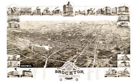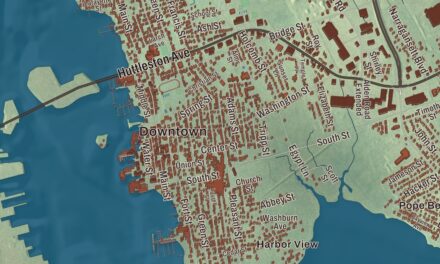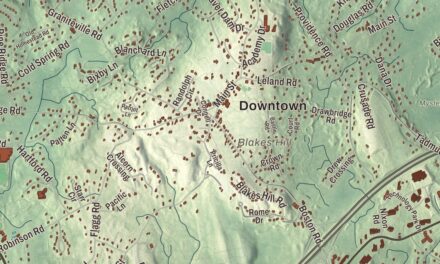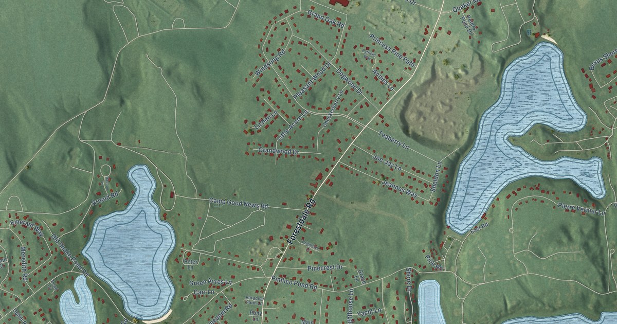
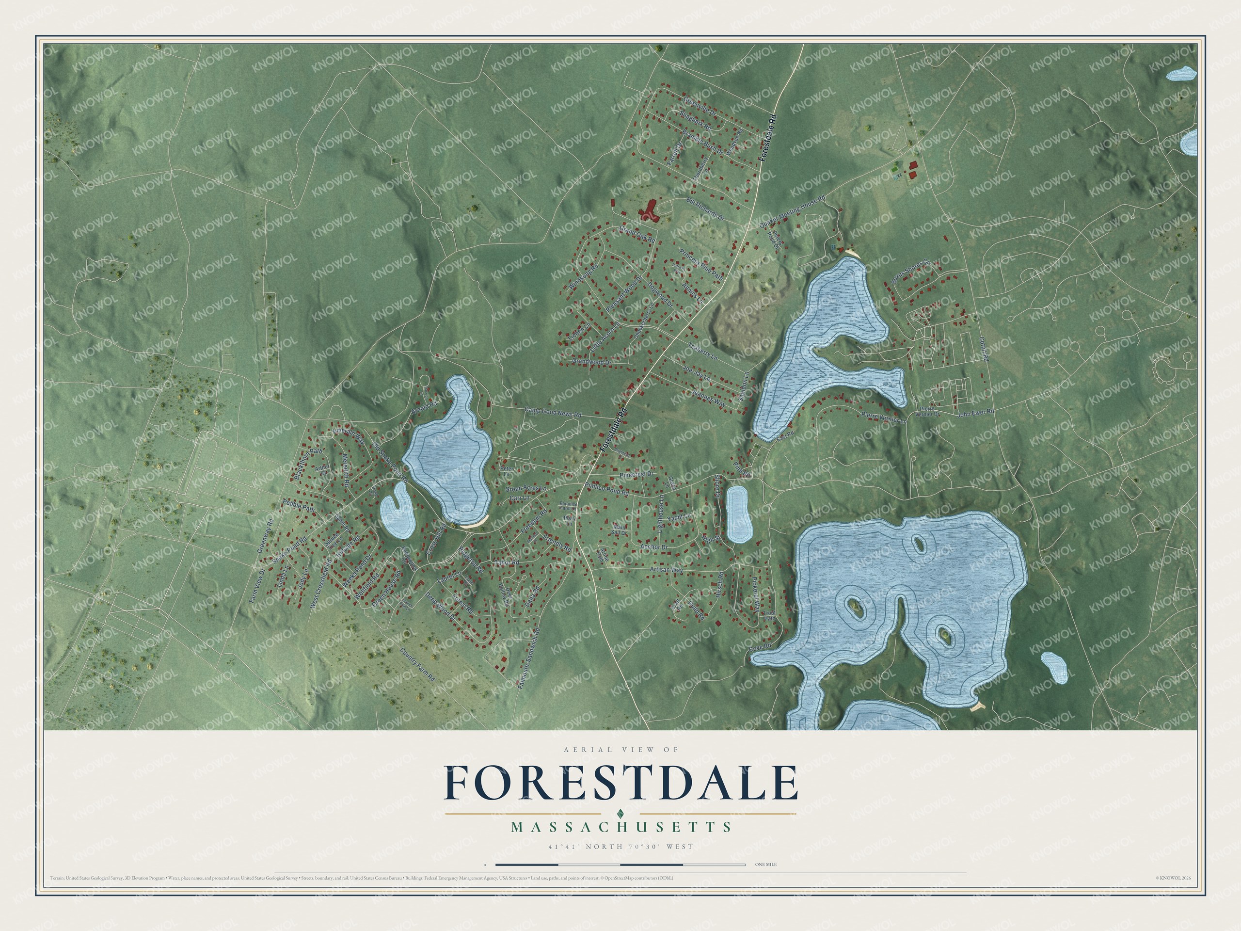
This beautifully detailed map of Forestdale, Massachusetts was created in 2026 using aerial imagery combined with modern topographical, census, street and landmark data. It's a modern aerial view of Forestdale in Barnstable County, Massachusetts, that combines modern data with a vintage aesthetic. The roads feature printed names, and if you look closely you can find your exact house accurately shown in its correct location.
Explore an aerial view of Forestdale, Massachusetts
On this map you'll find Forestdale Road, Snake Pond Road, Old Snake Pond Road, Grand Oak Road, Green House Road, Wellfield Road, Blackthorn Path, Greenway Road, Country Farm Road, Greenville Drive, Cotuit Road, Camp Good News Road, and more. Each red shape is a building, so zoom in on the preview and look for yours.
Forestdale is a community in Barnstable County. The Census Bureau counted 4,116 people here in 2020. The map prints the town name in its title panel, with the coordinates below it.
Take a closer look at the Forestdale map
Names on this map
These names are printed on this map.
Streets and roads: Forestdale Road, Snake Pond Road, Old Snake Pond Road, Grand Oak Road, Green House Road, Wellfield Road, Blackthorn Path, Greenway Road, Country Farm Road, Greenville Drive, Cotuit Road, Camp Good News Road.
More street names, A to Z
Anchor Drive, Annies Lane, Arline Path, Arnold Road, Arthur Court, Artisan Way, Bedford Place, Bill Richards Drive, Bramble Bush Drive, Brightside Lane, Buxus Shores Circle, Carr Lane, Checkerberry Lane, Cove Road, Craft Road, Cross Hill Road, Dana Road, Deep Wood Drive, Deer Hollow Road, Dogwood Drive, East Road, Emerald Way, Falmouth-Sandwich Road, Farm View Drive, Farrell Drive, Forest Road, Freedom Road, Friendly Road, Grace Lane, Grandwood Drive, Green Acres Lane, Guild Road, High Street, Hillside Road, Hirsch Road, Jeannes Way, Jody Lane, Joe-Jay Lane, John Ewer Road, Laurel Circle, Laurel Lane, Lichen Lane, Lighthouse Lane, Linda Lane, Little Acorn Lane, Main Sail Drive, Meredith Road, Paradise Farm Lane, Patricks Way, Pebble Path, Peter Lane, Peters Pond Drive, Pickerel Way, Pierre Vernier Drive, Pierre Vernier Lane, Pimlico Pond Road, Pinecrest Drive, Pine Road, Pleasant Wood Drive, Pond Circle, Pony Lane, Princess Pine Path, Quaker Meeting House Road, Racoon Lane, Ridgetop Road, Robinwood Circle, Scotch Pine Lane, Shagbark Road, Sheldon Lane, Shore Drive, Spruce Tree Lane, Tabor Road, Teaberry Lane, Thornberry Lane, Trout Path, Uphill Road, Weeks Pond Drive, West Crossfield Road, Windsong Road, Woodvue Road, Yacht Lane.
See it on a wall
The Forestdale map as a framed print. Swipe for more.


Created by KNOWOL in 2026. The buildings are small red shapes, the roads carry their printed names, and shaded relief shows the shape of the land. The title panel reads "AERIAL VIEW OF FORESTDALE, MASSACHUSETTS" with 41°41' NORTH 70°30' WEST.
It suits a den, a classroom or a front hall, and it makes a gift for anyone with Forestdale roots. Open the preview and find the block you know. See sizes and frames for the Forestdale map.