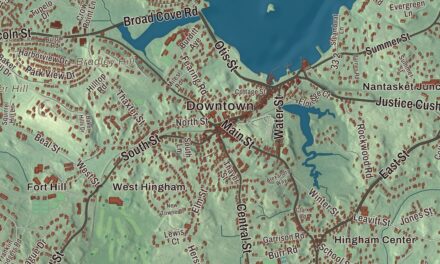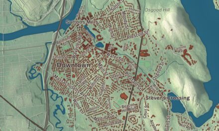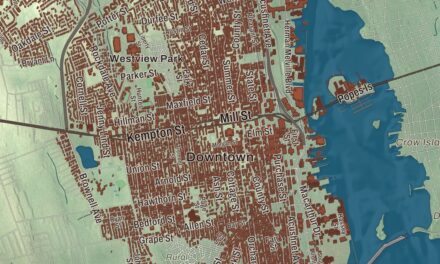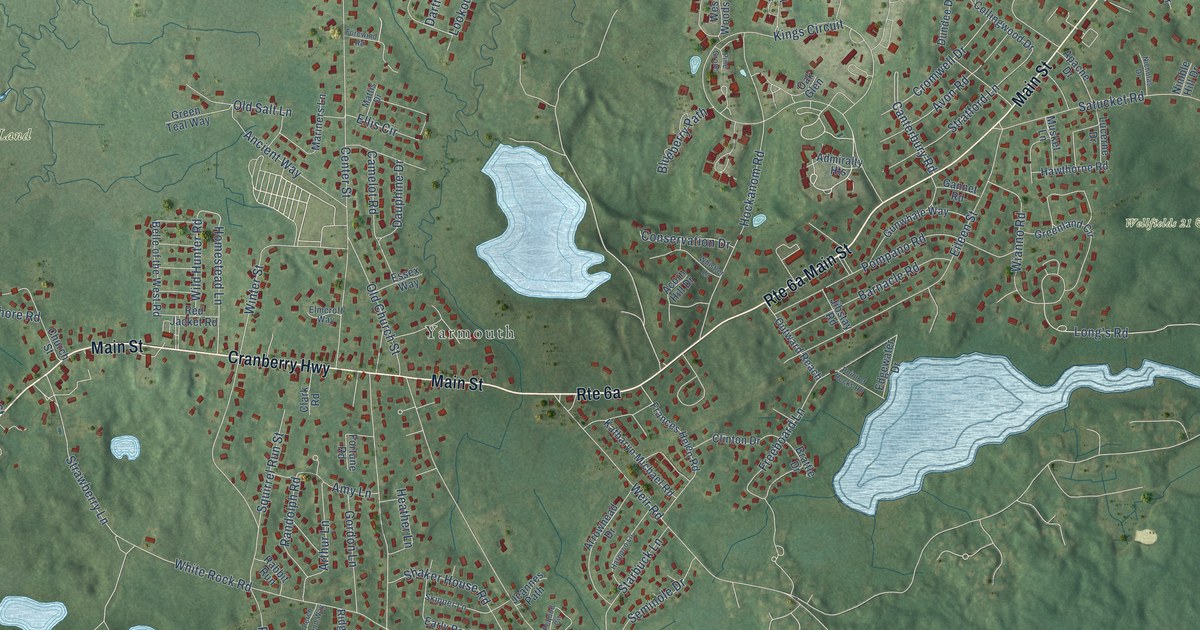
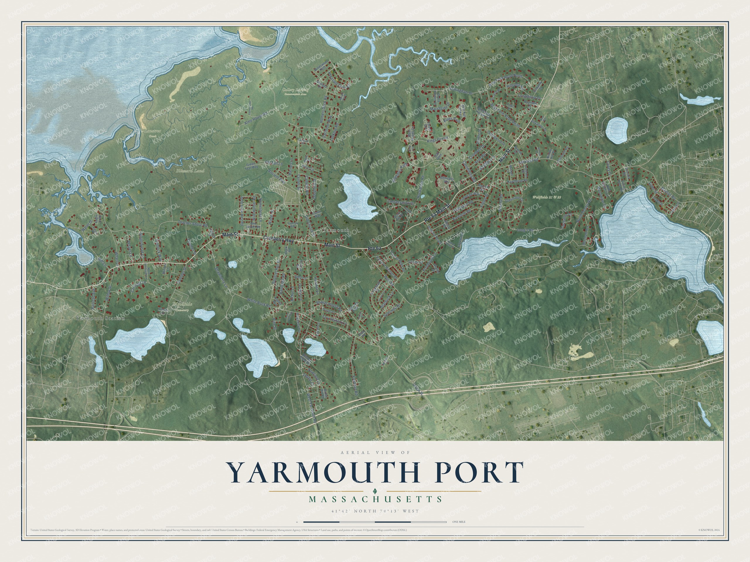
This beautifully detailed map of Yarmouth Port, Massachusetts was created in 2026 using aerial imagery combined with modern topographical, census, street and landmark data. It's a modern aerial view of Yarmouth Port in Barnstable County, Massachusetts, that combines modern data with a vintage aesthetic. The roads feature printed names, and if you look closely you can find your exact house accurately shown in its correct location.
Explore an aerial view of Yarmouth Port, Massachusetts
On this map you'll find Yarmouth, Blizzard Land, Callery Darling Conservation Area, Lonetree Creek, Wellfields 21 & 22, Woodside Cemetery, Yarmouth Station, Cranberry Highway, Main Street, Wianno Road, Long's Road, Homestead Lane, and more. Each red shape is a building, so zoom in on the preview and look for yours.
Yarmouth Port is a community in Barnstable County. The Census Bureau counted 5,403 people here in 2020. The map prints the town name in its title panel, with the coordinates below it.
Take a closer look at the Yarmouth Port map
Names on this map
These names are printed on this map.
Places: Yarmouth, Blizzard Land, Callery Darling Conservation Area, Lonetree Creek, Wellfields 21 & 22, Woodside Cemetery and Yarmouth Station.
Streets and roads: Cranberry Highway, Main Street, Wianno Road, Long's Road, Homestead Lane, Bray Farm Road South, White Rock Road, Union Street, Center Street, West Yarmouth Road, Kings Circuit, Satucket Road.
More street names, A to Z
Acorn Hill Drive, Admiralty Heights, Ahab Road, Alexander Drive, Alms House Road, Amy Lane, Ancient Way, Apache Drive, Arrowhead Drive, Arthur Lane, Aunt Dorah's Lane, Avon Road, Barnacle Road, Bayridge Drive, Bear Way, Belle of the West Road, Blueberry Path, Brattle Drive, Bray Farm Road North, Brush Hill Road, Camelot Road, Canterbury Road, Carriage Lane, Chase Garden Lane, Church Street, Clark Road, Clinton Drive, Collingwood Drive, Conservation Drive, Conservation Road, Covey Drive, Cromwell Drive, Dartmoor Way, Dauphine Drive, Deveau Lane, Drake Street, Dundee Drive, Eagle Loop, Early Redberry Lane, Edgewater Drive, Eider Street, Eileen Street, Elishas Pond Road, Ellis Circle, Elmcroft Way, Embassy Street, Essex Way, Flintlock Way, Follins Pond Road, Forest Gate, Forewind Road, Fortune Road, Frances Helen Road, Freeboard Lane, Freeman Road, Gannet Road, Gaslight Drive, Gingerbread Lane, Gordon Lane, Greenland Circle, Green Teal Way, Gunrock Road, Gunwhale Way, Harpoon Lane, Hawthorne Road, Heather Lane, Hillcrest Road, Hillsea Road, Hockanom Road, Homers Dock Road, Jeannes Path, Jibstay Road, John Hall Cartway, Kates Path, Katharyn Michael Road, Lilac Lane, Linnell Lane, Longfellow Drive, Longview Drive, Lookout Road, Lucerne Drive, Macomber Drive, Mariners Lane, Marsh Point, Marshside Drive, Mattis Drive, Mayfair Road, Merchant Avenue, Mill Lane, Minden Lane, Musket Lane, Newfield Lane, Nicholas Drive, Nimble Hill Drive, North Dennis Road, North Sandyside Lane, Nottingham Drive, Oak Glen, Old Castle Road, Old Church Street, Old Salt Lane, Outward Reach, Pequod Circle, Perch Pond Way, Pheasant Cove Circle, Pine Grove, Pine Street, Plymouth Road, Point of Rocks Road, Pompano Road, Rabbit Run, Railroad Avenue, Randolph Road, Red Jacket Road, Ridgewood Drive, Seminole Drive, Shaker House Road, Sheltered Hollow Lane, Skipper Lane, Squirrel Run Street, Stable Lane, Starbuck Lane, Stratford Lane, Strawberry Lane, Summer Street, Tasmania Drive, Thacher Shore Road, Thacher Street, Vesper Lane, Water Street, Weir Road, West Woods Circle, Wharf Lane, Whistler Lane, Wild Hunter Road, Willow Street, Windswept Path, Winter Street, Zephyr Drive.
See it on a wall
The Yarmouth Port map as a framed print. Swipe for more.


Created by KNOWOL in 2026. The buildings are small red shapes, the roads carry their printed names, and shaded relief shows the shape of the land. The title panel reads "AERIAL VIEW OF YARMOUTH PORT, MASSACHUSETTS" with 41°42' NORTH 70°13' WEST.
Hang it in the hallway, the office or the cabin, or give it to someone who left Yarmouth Port and still calls it home. Open the preview and look for a street you know. See sizes and frames for the Yarmouth Port map.