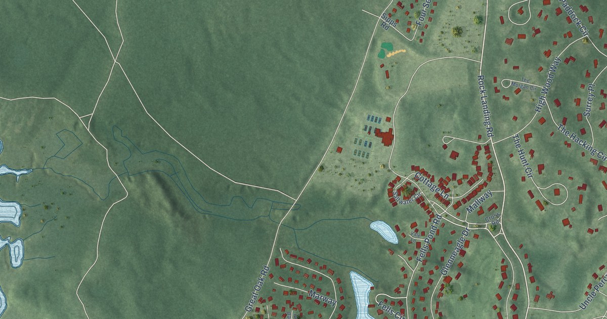
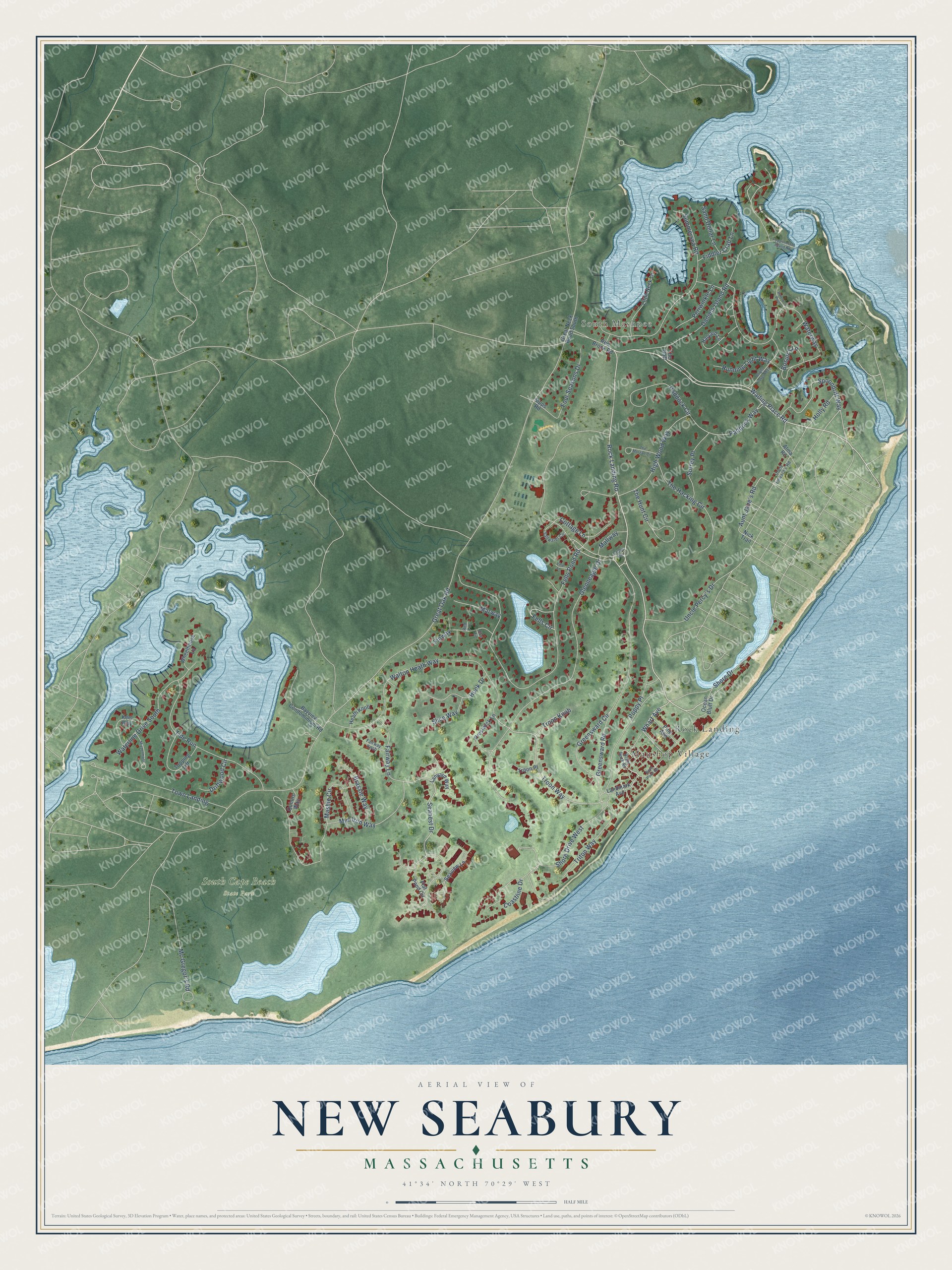
This beautifully detailed map of New Seabury, Massachusetts was created in 2026 using aerial imagery combined with modern topographical, census, street and landmark data. It's a modern aerial view of New Seabury in Barnstable County, Massachusetts, that combines modern data with a vintage aesthetic. The roads feature printed names, and if you look closely you can find your exact house accurately shown in its correct location.
Explore an aerial view of New Seabury, Massachusetts
On this map you'll find South Mashpee, South Cape Beach State Park, Maushop Village, Rock Landing, Wading Place Road, Rock Landing Road, Wharf Avenue, Shore Drive, Spoondrift Way, Troon Way, Aunt Jane's Road, Daniels Island Road, and more. Each red shape is a building, so zoom in on the preview and look for yours.
New Seabury is a community in Barnstable County. The Census Bureau counted 852 people here in 2020. The map prints the town name in its title panel, with the coordinates below it.
Take a closer look at the New Seabury map
Names on this map
These names are printed on this map.
Places: South Mashpee, South Cape Beach State Park, Maushop Village and Rock Landing.
Streets and roads: Wading Place Road, Rock Landing Road, Wharf Avenue, Shore Drive, Spoondrift Way, Troon Way, Aunt Jane's Road, Daniels Island Road, Paddock Way, Great Oak Road, Fells Pond Road, Glenneagle Drive.
More street names, A to Z
Alma Road, Bayview Condominium Road, Blue Fin, Bosun's Lane, Bowsprit Point, Brant Rock Road, Brassie Way, Bright Coves Way, Coastline Drive, Cottage Lane, Cross Road, Driftwood Circle, Fairway Knob, Fairway Lane, Fells Circle, Fiddler Crab Lane, Finway, Flat Pond Circle, Four Seasons Drive, Great Neck Road South, Greensward Circle, Greensward Road, Halyard Lane, Heath Knob, High Wood Way, Holly Road, Hook Drive, Keel Way, Landmark Avenue, Lanyard Way, Little Neck Lane, Mallway, Marway, Mashie Circle, Mc Gregor's Road, Mid-Iron Way, Mizzenmast, Nick Trail, Ocean Bluff Drive, Paddock Circle, Periwinkle Lane, Pine Avenue, Popponesset Island Road, Poppy Place, Prestwick Lane, Quinns Way, Race Point Road, Red Brook Road, Red Fin, Running Light Way, Saltwater Circle, Sand Dollar Lane, Seanest Drive, Seaview Lane, Shore Drive West, Sipps Road, Slice Way, Summersea Road, Surrey Place, The Gaff, The Hacking Circle, The Hunt Circle, The Morgan Circle, Tide Run, Topping Lift, Town Landing, Triton Way, Troon Knob, Troon Place, Uncle Edward's Road, Uncle Percy's Drive, Vale Lane, Walton Heath Way, Waterline Drive South, Waterway, Wheelhouse Lane.
See it on a wall
The New Seabury map as a framed print. Swipe for more.


Created by KNOWOL in 2026. The buildings are small red shapes, the roads carry their printed names, and shaded relief shows the shape of the land. The title panel reads "AERIAL VIEW OF NEW SEABURY, MASSACHUSETTS" with 41°34' NORTH 70°29' WEST.
It suits a den, a classroom or a front hall, and it makes a gift for anyone with New Seabury roots. Open the preview and find the block you know. See sizes and frames for the New Seabury map.