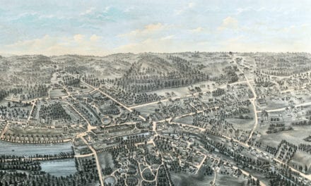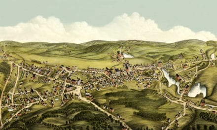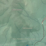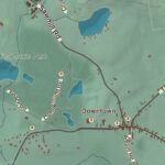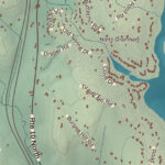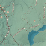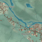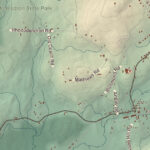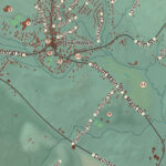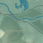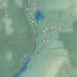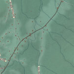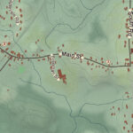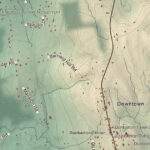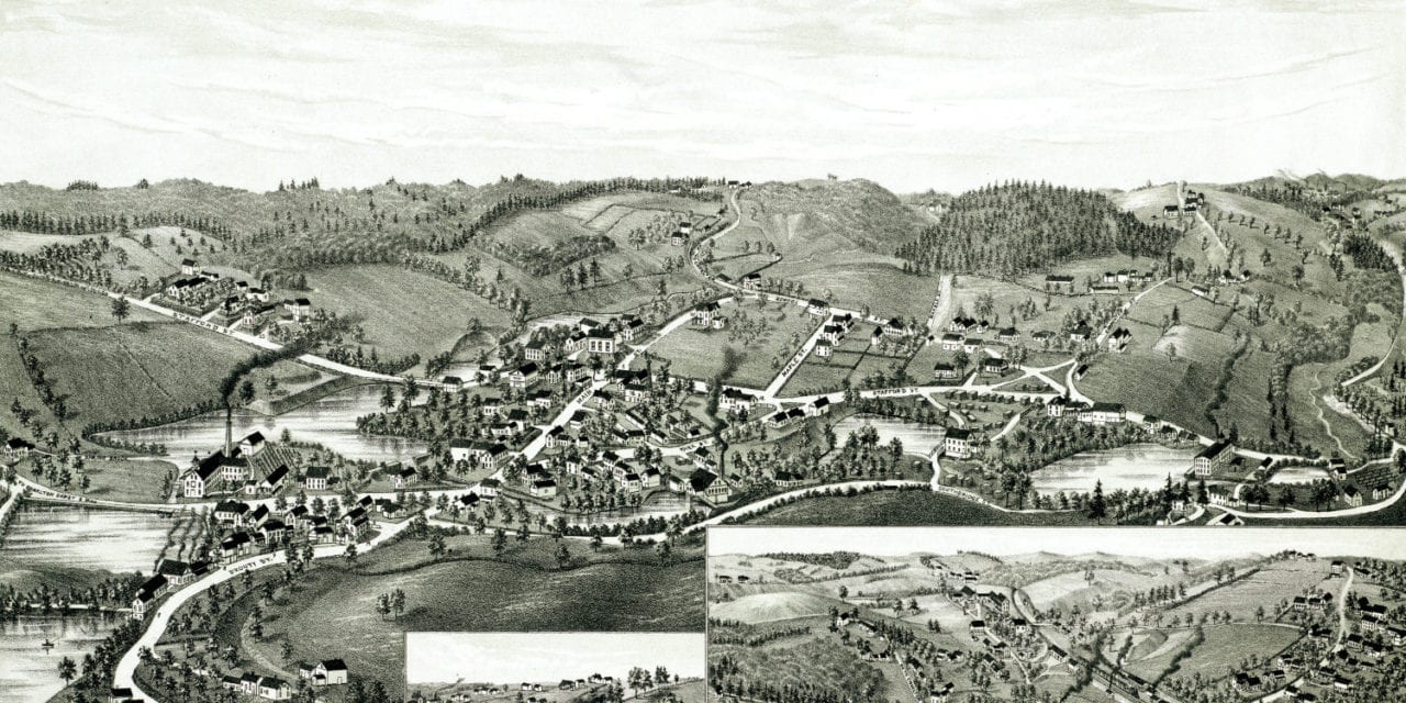
This map of Charlton, Massachusetts was created in 1887 by George Norris, a prominent 19th century cartographer. The map shows a detailed bird’s eye view of Charlton as it used to be, including street names and old landmarks. There are also close up views of Charlton Mills and Charlton Depot.
Old Charlton landmarks on the map include Akers & Taylor Spring Brook Mills, Tenement Houses, Chapman’s Woolen Mills, Charlton Woolen Mills, Carpenter’s Saw and Grist Mill, Hayes Brothers Blacksmithing, Hicks’ Pond, and more.
This historic map of Charlton, MA has been restored by KNOWOL. Reproductions of the map are available here.
Bird’s Eye View of Charlton, Mass in 1887
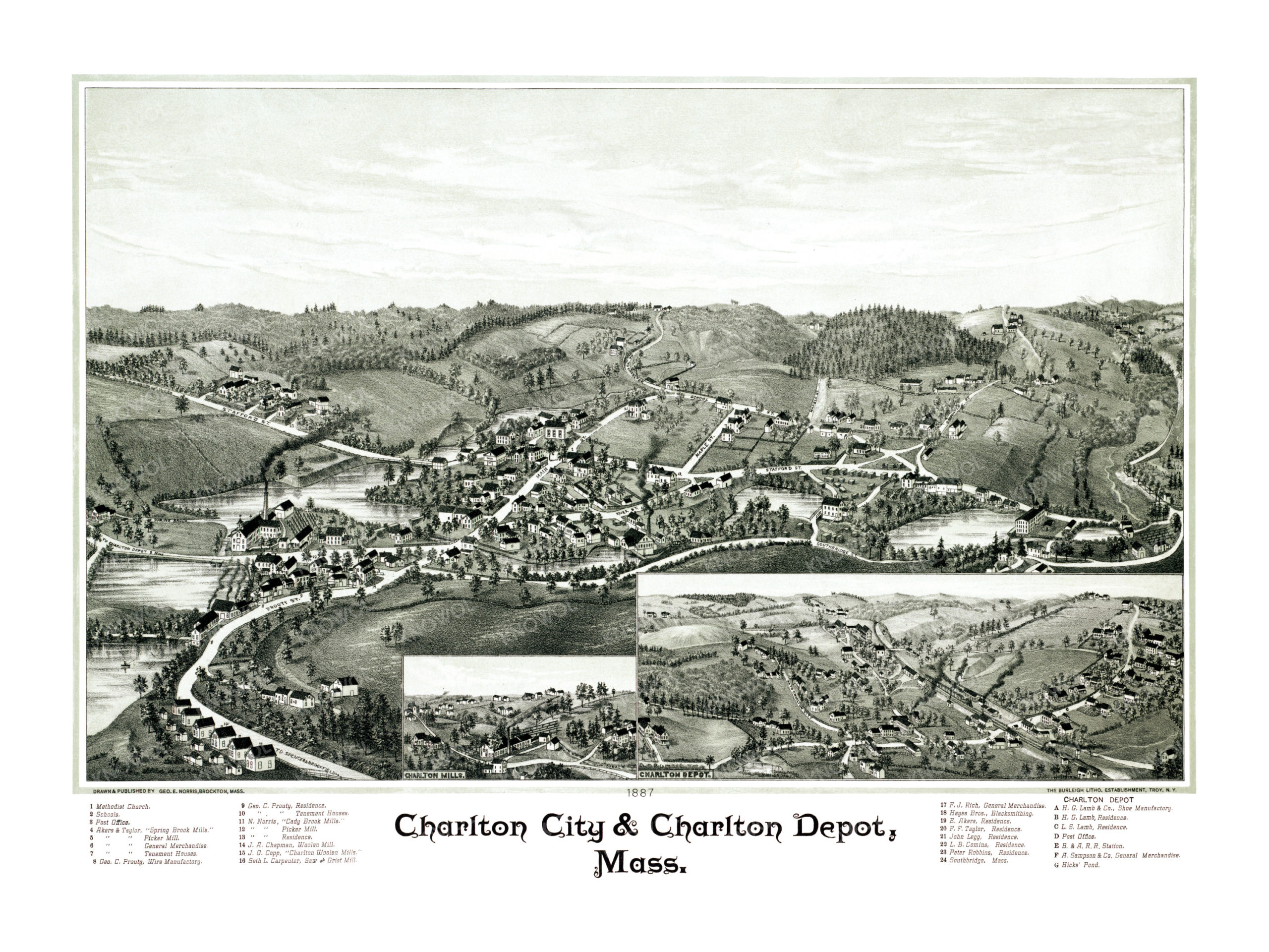
This historic map of Charlton will make an attractive addition to your office, library, or den and can even be used to teach children the geography and history of the area. When you’re done exploring, click here to get your copy.