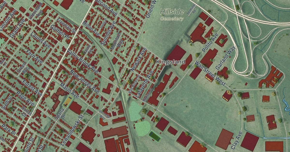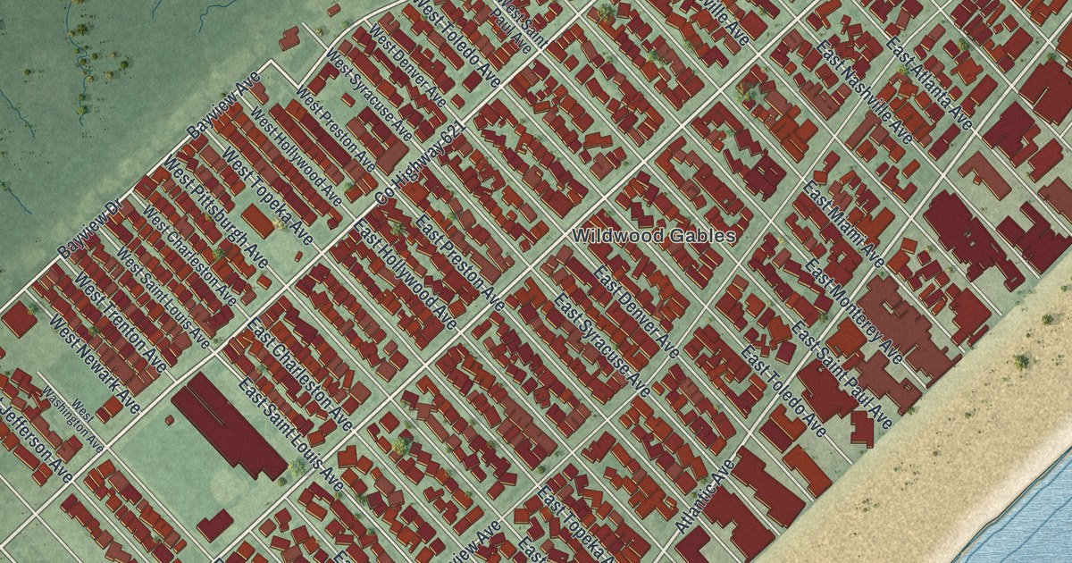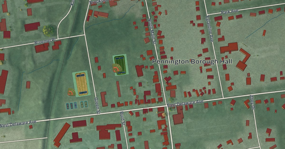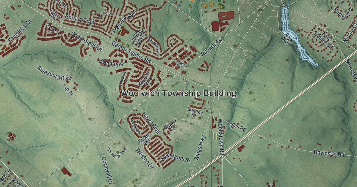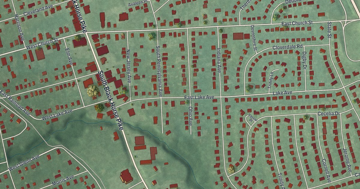
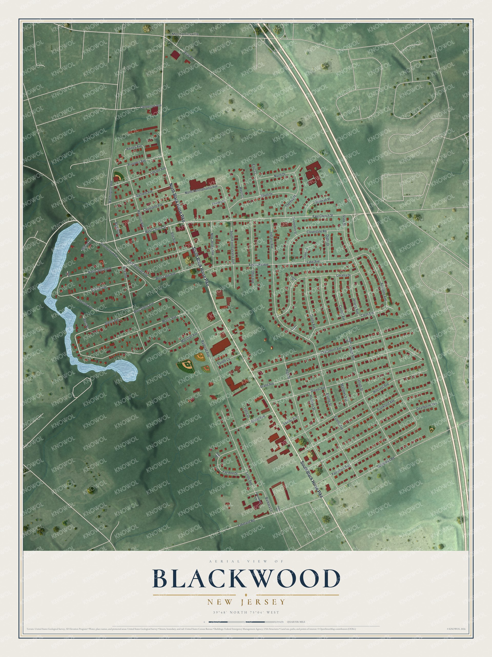
This beautifully detailed map of Blackwood, New Jersey was created in 2026 using aerial imagery combined with modern topographical, census, street and landmark data. It's a modern aerial view of Blackwood in Camden County, New Jersey, that combines modern data with a vintage aesthetic. The roads feature printed names, and if you look closely you can find your exact house accurately shown in its correct location.
Explore an aerial view of Blackwood, New Jersey
On this map you'll find Mechanicsville, South Black Horse Pike, North Black Horse Pike, West Church Street, East Church Street, Erial Road, Glenn Avenue, Lake Avenue, West Lake Avenue, Washington Avenue, East Railroad Avenue, Adrienne Avenue, and more. Each red shape is a building, so zoom in on the preview and look for yours.
Blackwood is a community in Camden County. The Census Bureau counted 4,622 people here in 2020. The map prints the town name in its title panel, with the coordinates below it.
Take a closer look at the Blackwood map
Names on this map
These names are printed on this map.
Places: Mechanicsville.
Streets and roads: South Black Horse Pike, North Black Horse Pike, West Church Street, East Church Street, Erial Road, Glenn Avenue, Lake Avenue, West Lake Avenue, Washington Avenue, East Railroad Avenue, Adrienne Avenue, State Street.
More street names, A to Z
Avaleen Place, Baptist Lane, Barbara Lane, Carol Avenue, Cecelia Drive, Clementon Avenue, Cleveland Avenue, Clifton Avenue, Cloverdale Road, Cornell Avenue, Cressmont Avenue, Davistown Road, Dearborne Avenue, Deborah Place, Devonshire Street, Digby Drive, Dollina Road, Drexel Avenue, East Court, East Lake Avenue, Elaine Avenue, Elm Avenue, Estelle Avenue, Estelle Street, Eva Place, Fairfax Avenue, Fairmount Avenue, Fanelli Lane, Fay Ann Drive, Frankford Avenue, Garfield Avenue, Grand Avenue, Haines Avenue, Harrison Avenue, High Street, Hillcrest Avenue, Hortman Street, Indiana Avenue, Indiana Court, Jerome Avenue, Lakeland Road, Lakeside Avenue, Lawrence Lane, Lehigh Avenue, Lehigh Street, Leigh Street, Lincoln Avenue, Linda Avenue, Marshall Avenue, Mathews Avenue, Morris Avenue, New Jersey Avenue, North Drive, North Pennsylvania Avenue, Ohio Avenue, Pine Avenue, Prospect Avenue, Railroad Avenue, South Drive, South Pennsylvania Avenue, Theresa Place, Trinity Avenue, Trinity Lane, Vassar Place, West Central Avenue, West Court, West Glenn Avenue, West Railroad Avenue, West Street, Wilcox Lane, Yetta Drive.
See it on a wall
The Blackwood map as a framed print. Swipe for more.


Created by KNOWOL in 2026. The buildings are small red shapes, the roads carry their printed names, and shaded relief shows the shape of the land. The title panel reads "AERIAL VIEW OF BLACKWOOD, NEW JERSEY" with 39°48' NORTH 75°04' WEST.
It suits a den, a classroom or a front hall, and it makes a gift for anyone with Blackwood roots. Open the preview and find the block you know. See sizes and frames for the Blackwood map.