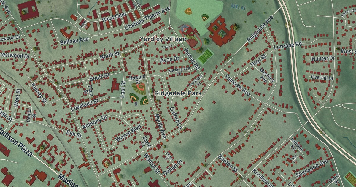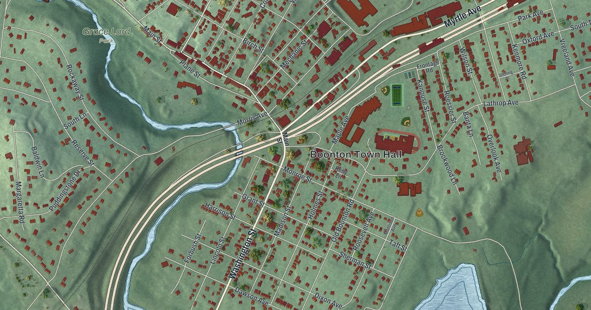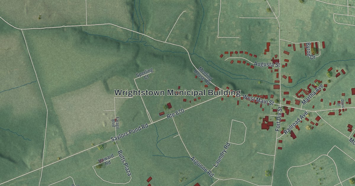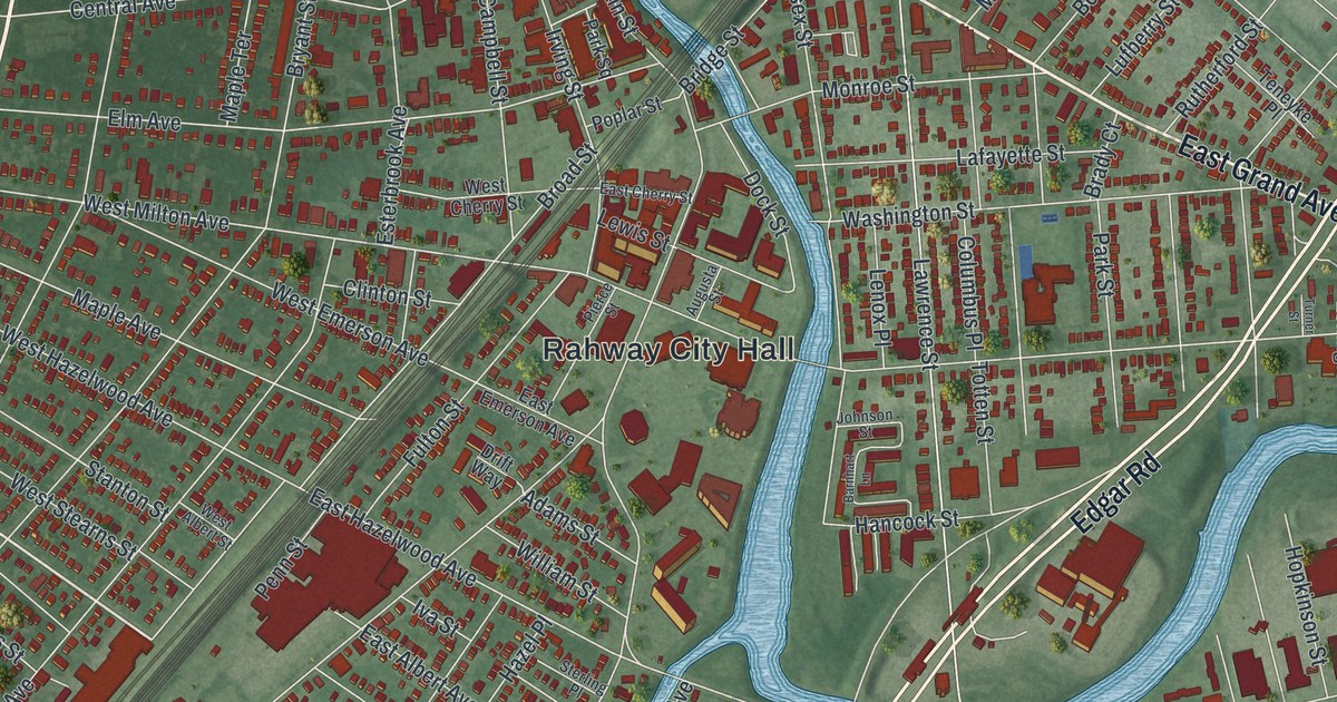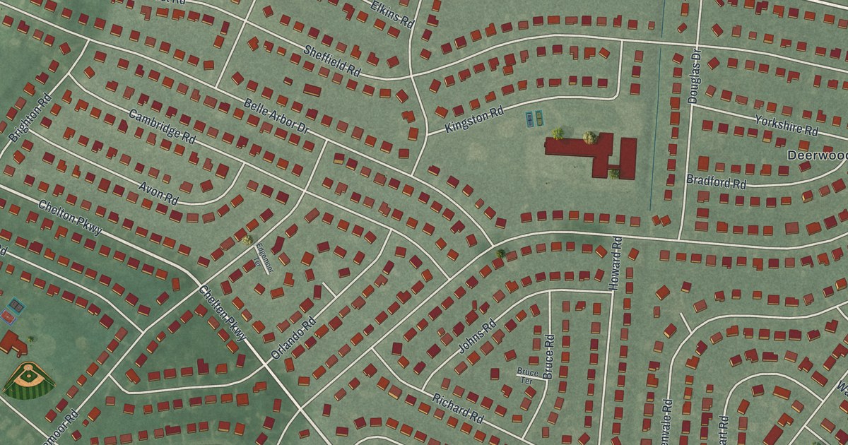
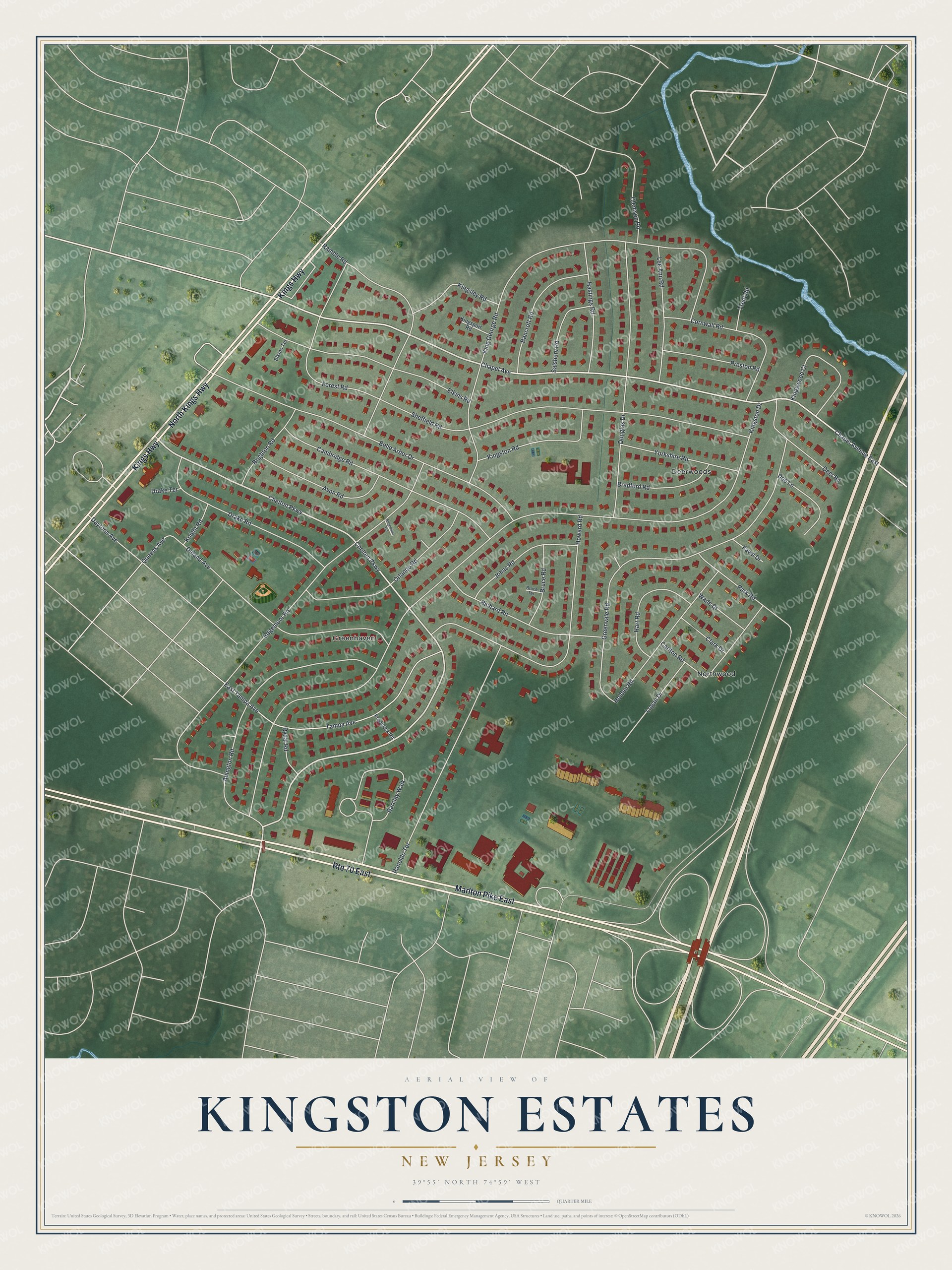
This beautifully detailed map of Kingston Estates, New Jersey was created in 2026 using aerial imagery combined with modern topographical, census, street and landmark data. It's a modern aerial view of Kingston Estates in Camden County, New Jersey, that combines modern data with a vintage aesthetic. The roads feature printed names, and if you look closely you can find your exact house accurately shown in its correct location.
Explore an aerial view of Kingston Estates, New Jersey
On this map you'll find Northwood, Greenhaven, Deerwoods, Marlton Pike East, Kings Highway, North Kings Highway, Chapel Avenue East, Chelton Parkway, Kingston Drive, Chapel Avenue, King George Road, Edgemoor Road, and more. Each red shape is a building, so zoom in on the preview and look for yours.
Here is a piece of Kingston Estates history. Harry Goodwin and his sons Dick and Howard developed Kingston Estates, and to do it they founded their own sewage utility, the Delaware Township Sewerage Corporation. They brought water a mile and a quarter from the Haddonfield system, started a bus service and offered ten acres for the township's first new school in a long time. Their plant was later expanded and shared with two other builders, opening up 1,000 acres of new land for homes. That's from the American Builder magazine.
Kingston Estates is a community in Camden County. The Census Bureau counted 6,322 people here in 2020. The map prints the town name in its title panel, with the coordinates below it.
Take a closer look at the Kingston Estates map
Names on this map
These names are printed on this map.
Places: Northwood, Greenhaven and Deerwoods.
Streets and roads: Route 70 East, Marlton Pike East, Kings Highway, North Kings Highway, Chapel Avenue East, Chelton Parkway, Kingston Drive, Chapel Avenue, King George Road, Edgemoor Road, Sheffield Road, Greenvale Road.
More street names, A to Z
Abington Road, Avon Road, Bancroft Road, Barclay Walk, Belle Arbor Drive, Bradford Road, Brighton Road, Bruce Road, Bruce Terrace, Cambridge Road, Carlton Road, Chelten Parkway, Clark Drive, Clemson Road, Cornwall Road, Daytona Avenue, Deer Road, Deland Avenue, Doe Lane, Douglas Drive, Drake Road, Drake Terrace, East Tampa Avenue, Edgemoor Terrace, Elkins Road, Elkins Terrace, Fawn Drive, Forest Road, Frederick Road, Hart Road, Hastings Road, Holden Road, Howard Road, Johns Road, Kingsley Road, Kingsport Road, Kingston Road, Kingswood Court, Knight Road, Lee Ann Road, Logan Drive, Orlando Road, Park Road, Preston Road, Queens Avenue, Ramble Road, Ranoldo Terrace, Richard Road, Rydal Road, Salsbury Road, Tampa Avenue, Trent Road, Wade Drive, Yorkshire Road.
See it on a wall
The Kingston Estates map as a framed print. Swipe for more.


Created by KNOWOL in 2026. The buildings are small red shapes, the roads carry their printed names, and shaded relief shows the shape of the land. The title panel reads "AERIAL VIEW OF KINGSTON ESTATES, NEW JERSEY" with 39°55' NORTH 74°59' WEST.
It suits a den, a classroom or a front hall, and it makes a gift for anyone with Kingston Estates roots. Open the preview and find the block you know. See sizes and frames for the Kingston Estates map.