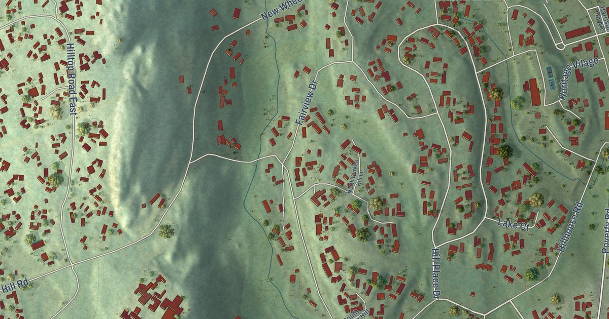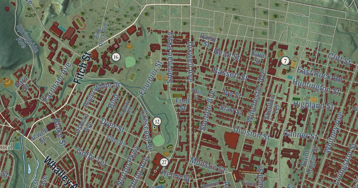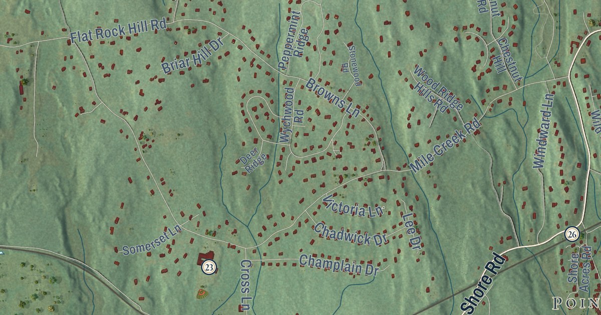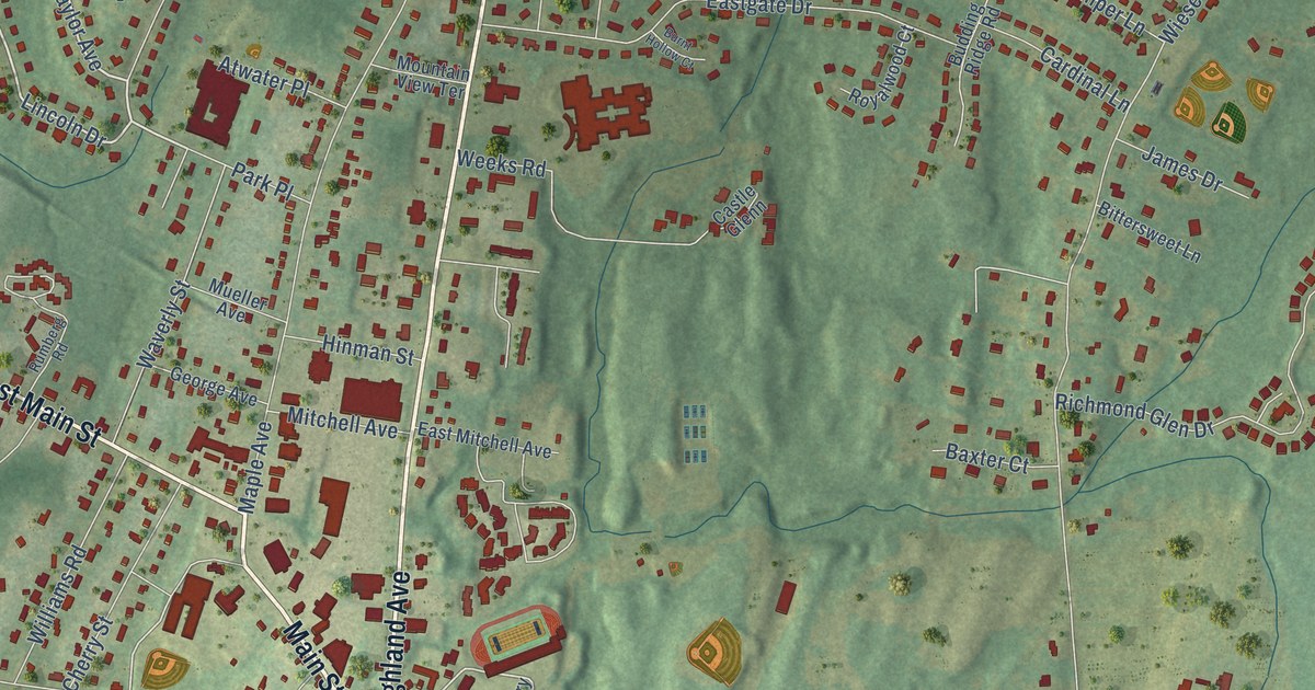
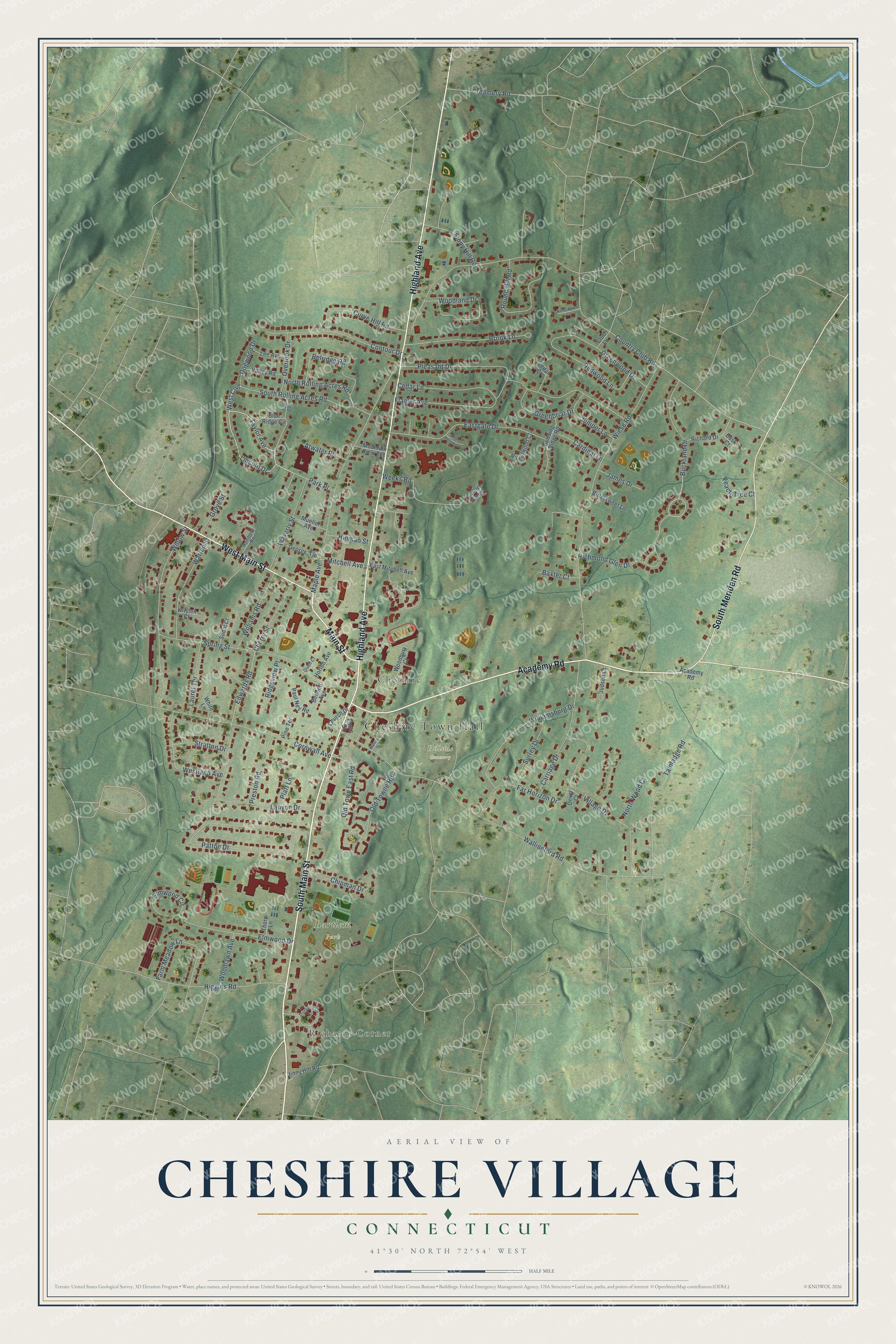
This beautifully detailed map of Cheshire Village, Connecticut was created in 2026 using aerial imagery combined with modern topographical, census, street and landmark data. It's a modern aerial view of Cheshire Village in Naugatuck Valley Planning Region, Connecticut, that combines modern data with a vintage aesthetic. The roads feature printed names, and if you look closely you can find your exact house accurately shown in its correct location.
Explore an aerial view of Cheshire Village, Connecticut
On this map you'll find Cheshire Town Hall, Richards Corner, Bartlem Park, Hillside Cemetery, Cheshire, South Main Street, Academy Road, Main Street, West Main Street, Highland Avenue, South Meriden Road, Lincoln Drive, and more. Each red shape is a building, so zoom in on the preview and look for yours.
Cheshire Village is a community in Naugatuck Valley Planning Region. The Census Bureau counted 6,499 people here in 2020. Cheshire Village sits about 5 miles south of Plantsville, 6 miles northwest of Wallingford Center and 6 miles southwest of Meriden. The map prints the town name in its title panel, with the coordinates below it.
Take a closer look at the Cheshire Village map
Names on this map
These names are printed on this map.
Places: Cheshire Town Hall, Richards Corner, Bartlem Park, Hillside Cemetery and Cheshire.
Streets and roads: South Main Street, Academy Road, Main Street, West Main Street, Highland Avenue, South Meriden Road, Lincoln Drive, Taylor Avenue, Park Place, West Con, Richmond Glen Drive, Edwards Road.
More street names, A to Z
Atwater Place, Baxter Court, Belridge Road, Bennett Avenue, Bittersweet Lane, Blue Ridge Circle, Brook Lane, Buckland Drive, Budding Ridge Road, Burnt Hollow Court, Busk Court, Cardinal Lane, Carriage Drive, Castle Glenn, Cedar Court, Cedar Lane, Cherry Street, Chipman Drive, Church Drive, Club Lane, Contour Drive, Cornwall Avenue, Country Club Road, Creamery Road, Curve Hill Road, Dogwood Drive, Dover Court, East Con, Eastgate Drive, East Mitchell Avenue, Elmwood Circle, Elmwood Drive, Far Horizon Drive, Farm Meadow Lane, Flagler Avenue, Foote Street, George Avenue, Greenbriar Drive, Greenwood Drive, Grove Street, Higgins Road, Hinman Street, Horton Avenue, James Drive, Jinny Hill Road, Judson Court, Juniper Lane, Kensington Court, Kristen Court, Lanyon Drive, Laurel Terrace, Lee Avenue, Maple Avenue, Mitchell Avenue, Mountain View Terrace, Mueller Avenue, North Rolling Acres Road, North Wood Court, Old Town East Road, Old Towne Road, Overlook Drive, Patton Drive, Paul Ney Road, Peach Tree Court, Pine Terrace, Platt Lane, Pleasant Drive, Preston Road, Quell Court, Redwood Lane, Richard Drive, Ridgeview Place, Round Hill Road, Royalwood Court, Rumberg Road, South Rolling Acres Road, Spring Street, Stonegate Circle, Stony Hill Road, Stratton Drive, Sudol Court, Surrey Drive, Talmadge Road, Thorp Lane, Valley Road, Village Drive, Wallingford Road, Walnut Street, Warren Street, Waverly Street, Weeks Road, Westland Avenue, White Lane, Wiese Road, Williamsburg Drive, Williams Road, Willow Street, Woodbury Court, Woodland Drive, Woodlawn Avenue.
See it on a wall
The Cheshire Village map as a framed print. Swipe for more.


Created by KNOWOL in 2026. The buildings are small red shapes, the roads carry their printed names, and shaded relief shows the shape of the land. The title panel reads "AERIAL VIEW OF CHESHIRE VILLAGE, CONNECTICUT" with 41°30' NORTH 72°54' WEST.
It looks right in a kitchen, an office or a den, and it's a gift for anyone who grew up in Cheshire Village or moved away. Open the preview and find your street. See sizes and frames for the Cheshire Village map.