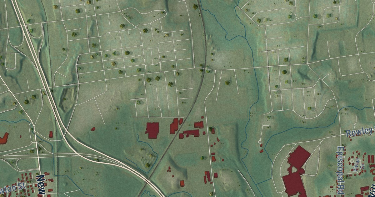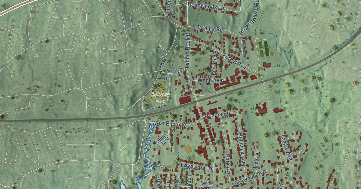
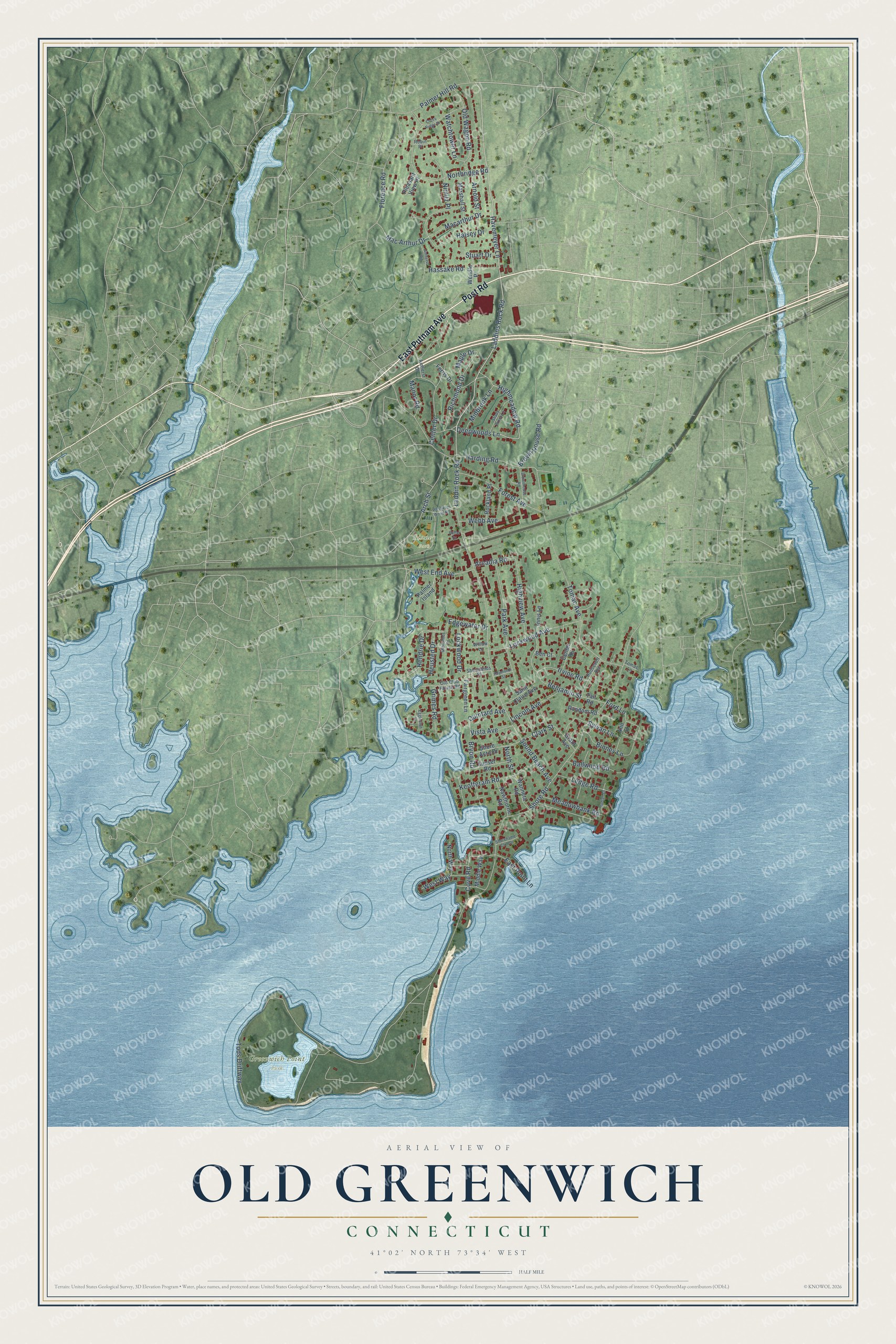
This beautifully detailed map of Old Greenwich, Connecticut was created in 2026 using aerial imagery combined with modern topographical, census, street and landmark data. It's a modern aerial view of Old Greenwich in Western Connecticut Planning Region, Connecticut, that combines modern data with a vintage aesthetic. The roads feature printed names, and if you look closely you can find your exact house accurately shown in its correct location.
Explore an aerial view of Old Greenwich, Connecticut
On this map you'll find Binney Park, Greenwich Point Park, East Putnam Avenue, Post Road, Laddins Rock Road, Havemeyer Lane, Laddin Rock Road, Deepwoods Lane, West End Avenue, Highmeadow Road, Sylvan Lane, North Street, and more. Each red shape is a building, so zoom in on the preview and look for yours.
Old Greenwich is a community in Western Connecticut Planning Region. The Census Bureau counted 6,962 people here in 2020. Old Greenwich sits about 2 miles east of Indian Field, 2 miles southeast of Cos Cob and 4 miles south of Stamford. The map prints the town name in its title panel, with the coordinates below it.
Take a closer look at the Old Greenwich map
Names on this map
These names are printed on this map.
Places: Binney Park and Greenwich Point Park.
Streets and roads: East Putnam Avenue, Post Road, Laddins Rock Road, Havemeyer Lane, Laddin Rock Road, Deepwoods Lane, West End Avenue, Highmeadow Road, Sylvan Lane, North Street, Tods Driftway, Sound Beach Avenue.
More street names, A to Z
Amherst Court, Amherst Road, Ann Street, Arcadia Road, Arch Street, Arnold Street, Ballwood Road, Ben Court, Benjamin Street, Binney Lane, Brown House Road, Brownhouse Road, Bryon Road, Center Drive, Center Road, Clark Street, Cove Road, Cross Ridge Drive, East Point Lane, Edgewater Drive, Eggleston Lane, Fairgreen Lane, Ferris Drive, Florence Road, Ford Lane, Forest Avenue, Grant Avenue, Grimes Road, Halsey Drive, Harding Road, Hassake Road, Hendrie Drive, Heusted Drive, Highview Avenue, Indian Drive, Innis Lane, Irvine Road, Keofferam Road, Ledge Road, Lincoln Avenue, Lockwood Avenue, Lockwood Drive, Macarthur Drive, Mac Arthur Drive, Manor Road, Maple Drive, Marshall Street, Meadowbank Road, Midbrook Lane, Middle Way, Mortimer Drive, Nawthorne Road, Nimitz Place, Northridge Road, North Way, Old Club House Road, Old Wagon Road, Palmer Hill Road, Palmer Island, Park Avenue, Pleasant View Place, Potter Drive, Quintard Avenue, Random Road, Raymond Street, Richmond Drive, Robin Place, Rockland Place, Roosevelt Avenue, Saint Claire Avenue, Shady Brook Lane, Shore Acre Drive, Shorehame Club Drive, Shorelands Place, Shore Road, Stuart Drive, Sunset Road, Tait Road, Tomac Avenue, Tomac Lane, Vista Avenue, Wahneta Road, Watchtower Lane, Webb Avenue, Wendle Place, Wesskum Wood Road, West Way, Willow Lane.
See it on a wall
The Old Greenwich map as a framed print. Swipe for more.


Created by KNOWOL in 2026. The buildings are small red shapes, the roads carry their printed names, and shaded relief shows the shape of the land. The title panel reads "AERIAL VIEW OF OLD GREENWICH, CONNECTICUT" with 41°02' NORTH 73°34' WEST.
It looks right in a kitchen, an office or a den, and it's a gift for anyone who grew up in Old Greenwich or moved away. Open the preview and find your street. See sizes and frames for the Old Greenwich map.