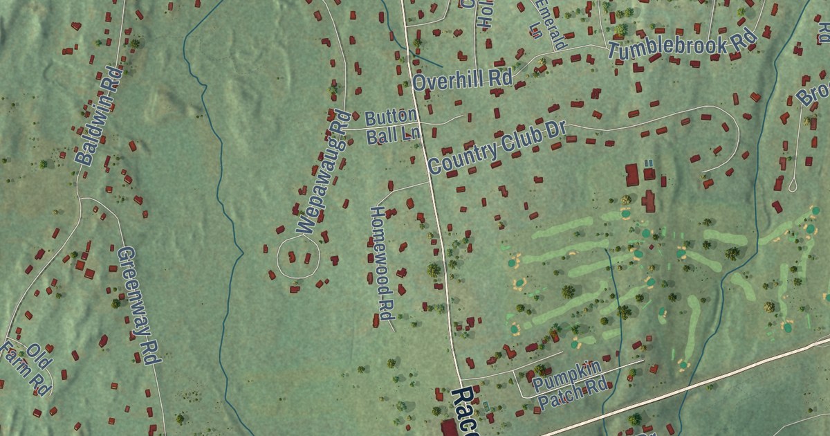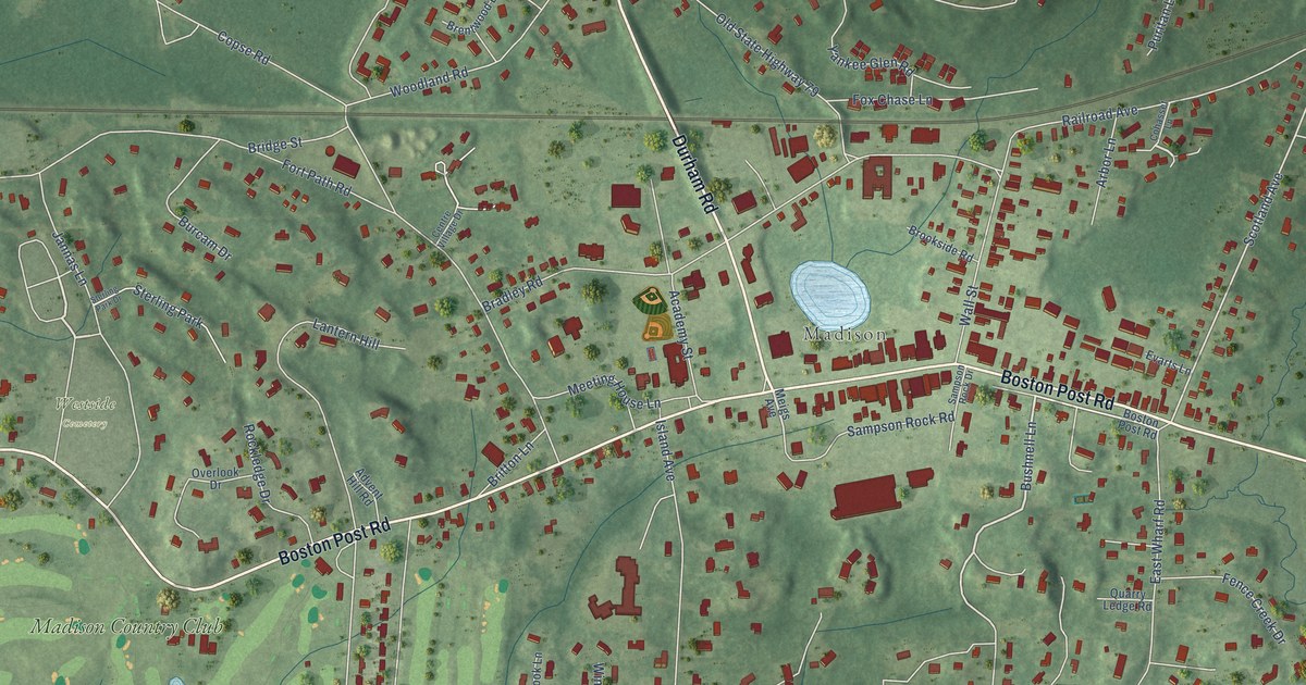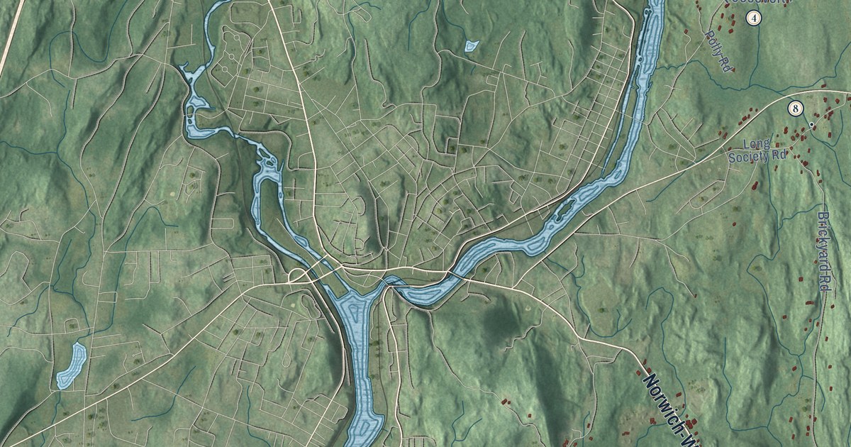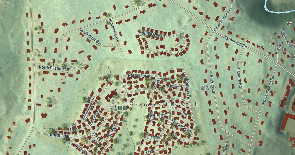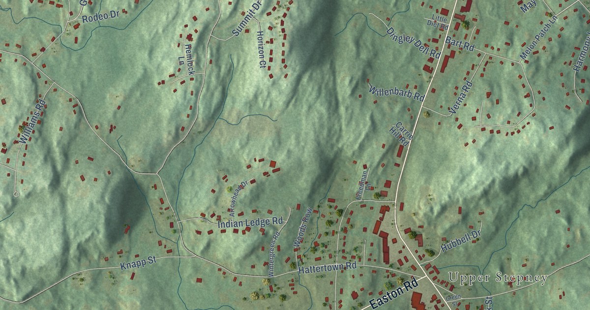
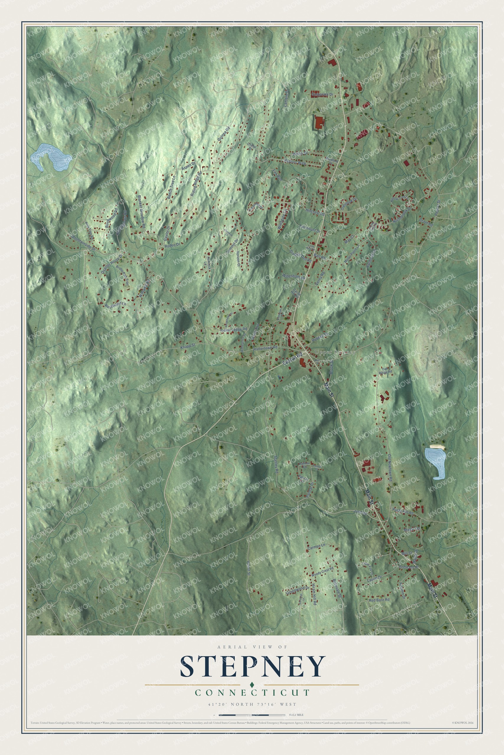
This beautifully detailed map of Stepney, Connecticut was created in 2026 using aerial imagery combined with modern topographical, census, street and landmark data. It's a modern aerial view of Stepney in Greater Bridgeport Planning Region, Connecticut, that combines modern data with a vintage aesthetic. The roads feature printed names, and if you look closely you can find your exact house accurately shown in its correct location.
Explore an aerial view of Stepney, Connecticut
On this map you'll find Upper Stepney, Main Street, Easton Road, Judd Road, Pastors Walk, Purdy Hill Road, Hiram Hill Road, Huntingtown Road, Pepper Street, Hattertown Road, Stanley Road, Guinea Road, and more. Each red shape is a building, so zoom in on the preview and look for yours.
Stepney is a community in Greater Bridgeport Planning Region. The Census Bureau counted 4,280 people here in 2020. Stepney sits about 2 miles south of Botsford, 3 miles north of Tashua and 4 miles northwest of Daniels Farm. The map prints the town name in its title panel, with the coordinates below it.
Take a closer look at the Stepney map
Names on this map
These names are printed on this map.
Places: Upper Stepney.
Streets and roads: Main Street, Easton Road, Judd Road, Pastors Walk, Purdy Hill Road, Hiram Hill Road, Huntingtown Road, Pepper Street, Hattertown Road, Stanley Road, Guinea Road, Old Newtown Road.
More street names, A to Z
Arrowhead Drive, Aspen Drive, Autumn Drive, Bart Road, Beech Tree Lane, Bellevale Street, Birchwood Road, Blanket Meadow Road, Boulder Ridge Road, Bradford Drive, Bridle Path Trail, Brook Street, Carmen Lane, Carrie Hill Road, Chadwick Court, Cheryl Drive, Corporate Drive, Crescent Place, Dingley Dell Road, Fairmount Drive, Fox Run, Freedman Lane, Gaylor Drive, Grant Road, Green Street, Greenwood Drive, Harmony Lane, Hemlock Lane, Hillcrest Road, Hollow Tree Lane, Horizon Court, Hubbell Drive, Indian Hill Drive, Indian Ledge Road, Knapp Street, Lantern Drive, Laurel Drive, Little Diet Road, Little Fox Lane, Maple Drive, Maple Terrace, May Court, Melon Patch Lane, Mill Street, Mountainside Drive, Northbrook Drive, Oak Ridge Road, Overlook Drive, Patmar Circle, Patmar Drive, Patmar Lane, Patmar Terrace, Pine Tree Road, Quarter Horse Drive, Red Barn Road, Riding Ridge Road, Rockwood Lane, Rodeo Drive, Sturbridge Lane, Summit Drive, Velvet Street, Verna Road, Willenbarb Road, Williams Road, Wiltan Drive, Windgate Circle, Wintergreen Road, Woods Row, Woody Crest Road.
See it on a wall
The Stepney map as a framed print. Swipe for more.


Created by KNOWOL in 2026. The buildings are small red shapes, the roads carry their printed names, and shaded relief shows the shape of the land. The title panel reads "AERIAL VIEW OF STEPNEY, CONNECTICUT" with 41°20' NORTH 73°16' WEST.
It looks right in a kitchen, an office or a den, and it's a gift for anyone who grew up in Stepney or moved away. Open the preview and find your street. See sizes and frames for the Stepney map.