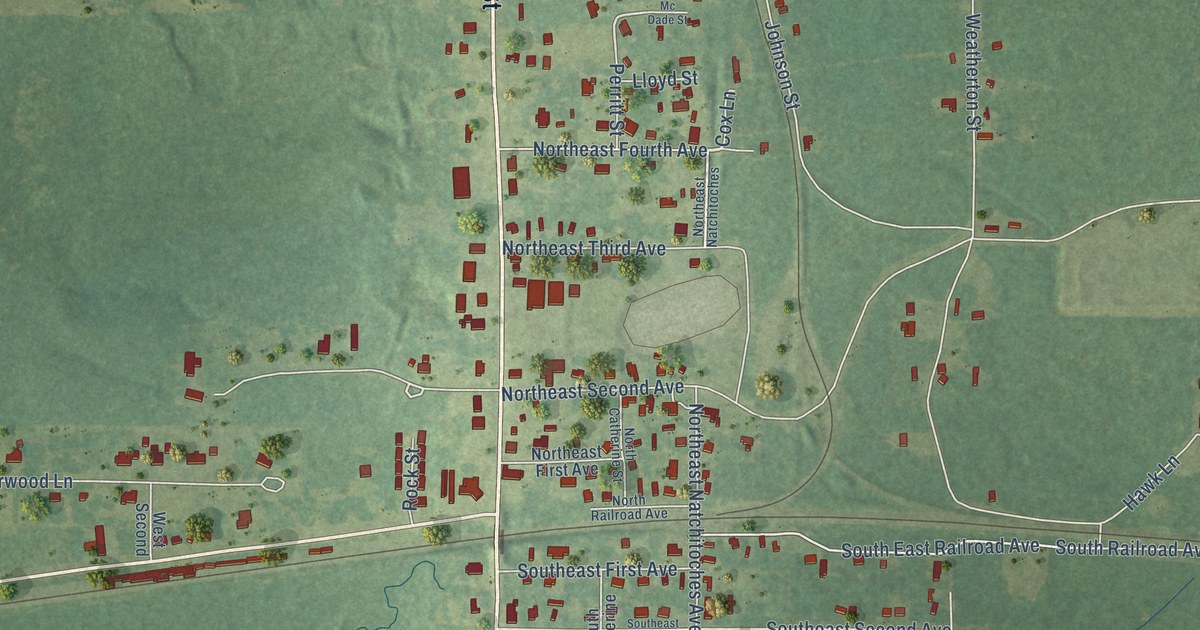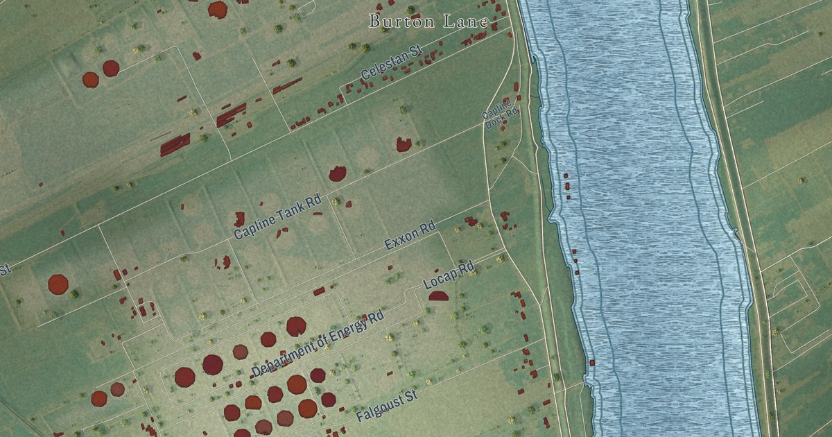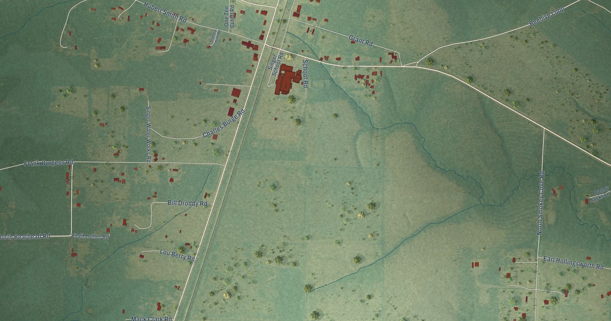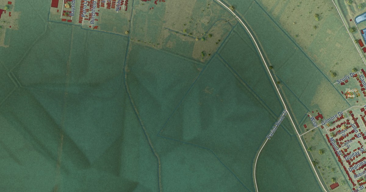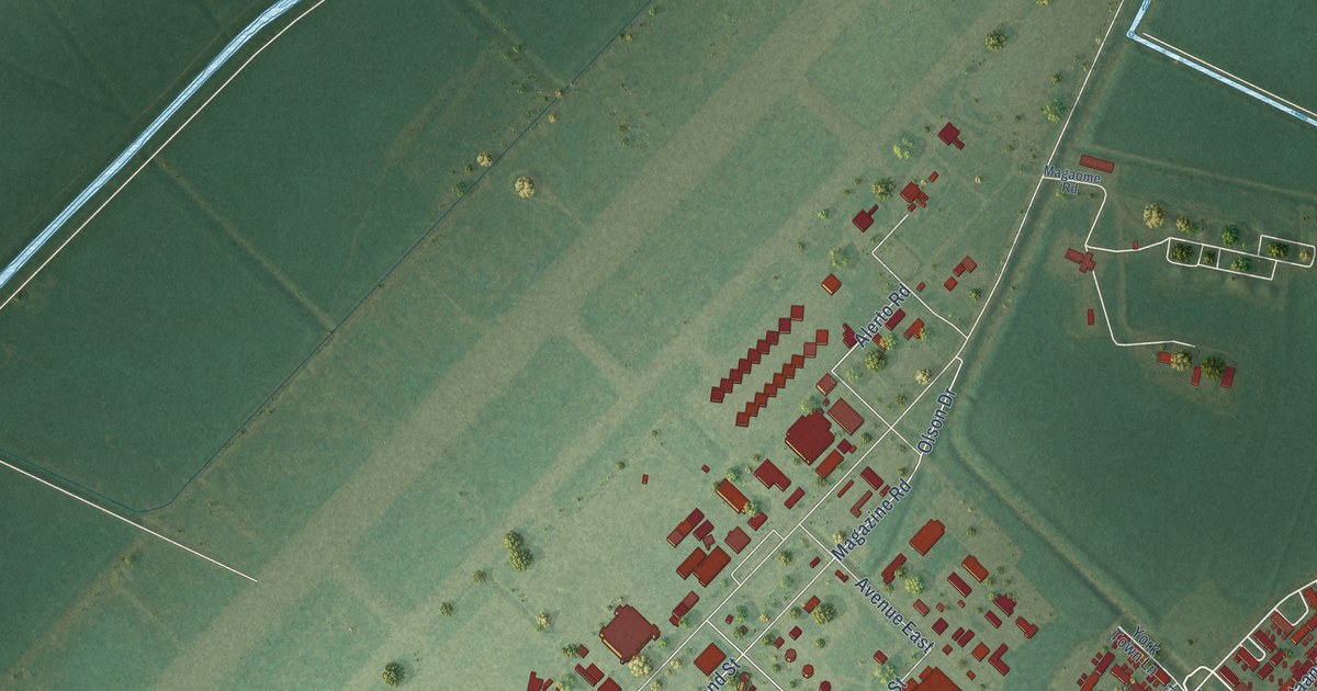
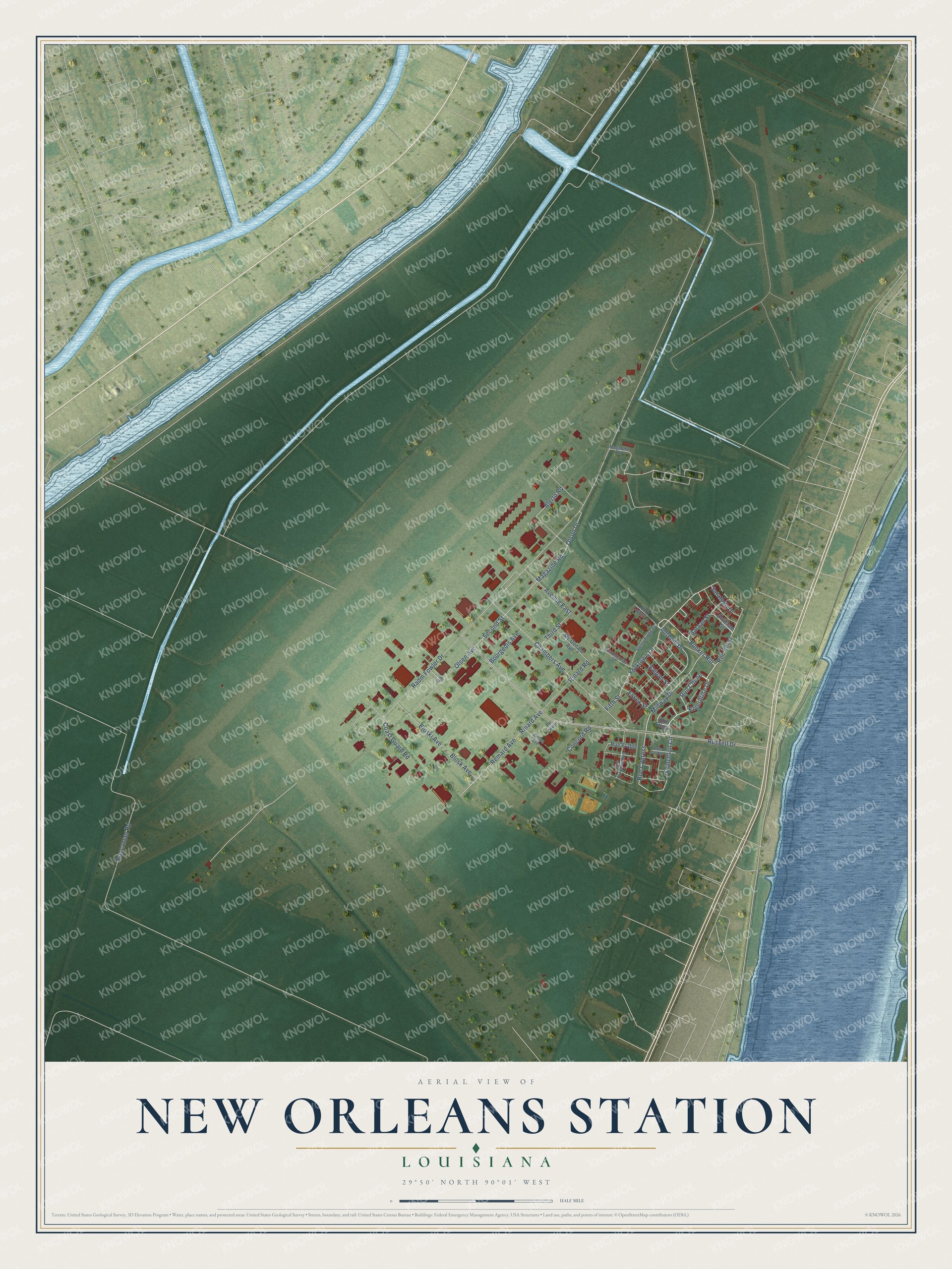
This beautifully detailed map of New Orleans Station, Louisiana was created in 2026 using aerial imagery combined with modern topographical, census, street and landmark data. It’s a one-of-a-kind view of New Orleans Station that combines accurate data with a vintage aesthetic. The map shows every building in its true location, many of the roads carry their names, and the shaded topographic relief shows the shape of the land.
Explore an aerial view of New Orleans Station, Louisiana
On the map you’ll find Bunker Hill, Rue Chene, Rue Cypress, and Rue Perez, along with Yorktown Lane, Enterprise Drive, Intrepid Drive, Midway Drive, Princeton Circle, Olson Drive, Second Street, Magazine Road, and more. New Orleans Station sits about 3 miles southwest of Belle Chasse, 3 miles east of Woodmere and 3 miles south of Timberlane. If you look closely you can even find your house accurately drawn in its correct location. Zoom in on the preview to look for yours.
Did You Know?
When Naval Air Station New Orleans outgrew its Lake Pontchartrain base, the Navy chose marshy land 15 miles south of the city. Construction began in 1954, and the new station was established on December 13, 1957. Its runway was named Alvin Callender Field in 1958 for Captain Alvin Callender, a New Orleans native killed in aerial combat in the First World War. The new base was large enough for Navy, Marine Corps, Air Force, Louisiana Air National Guard and Coast Guard reserve units. That's from the Naval Historical Center.
Take a closer look at the New Orleans Station map
Names on this map
These names are printed on this map.
Streets and roads: Yorktown Lane, Bunker Hill, Rue Chene, Enterprise Drive, Intrepid Drive, Rue Cypress, Midway Drive, Rue Perez, Princeton Circle, Olson Drive, Second Street, Magazine Road.
More street names, A to Z
Alerto Road, Antietam Street, Avenue East, Bataan Street, Beq Street, Blosk Avenue, Bloski Avenue, Bourgeois Avenue, Brown Avenue, Buccaneer Road, Chambers Avenue, Coast Guard Road, Concord Road, Essex Street, Fifth Street, Magaome Road, Mc Donald Avenue, Olsen Avenue, Radm Fowler Drive, Remard Avenue, Rinard Avenue, Rinard Road, Rue Cedre, Rue Erable, Rue Orme, Rue Plaquemines, Russell Drive, Saipan Street, Saratoga Drive, Third Street, Ticonderoga Street, Un Sixth, Valley Forge Street, York Town Lane.
See it on a wall
The New Orleans Station map as a framed print. Swipe for more.


This beautifully detailed map of New Orleans Station makes an attractive addition to your office, library, or den, and it can even be used to teach children the geography and history of the area. It also makes a great gift for anyone with New Orleans Station roots. When you’re done exploring, click here to get your copy of the New Orleans Station map.