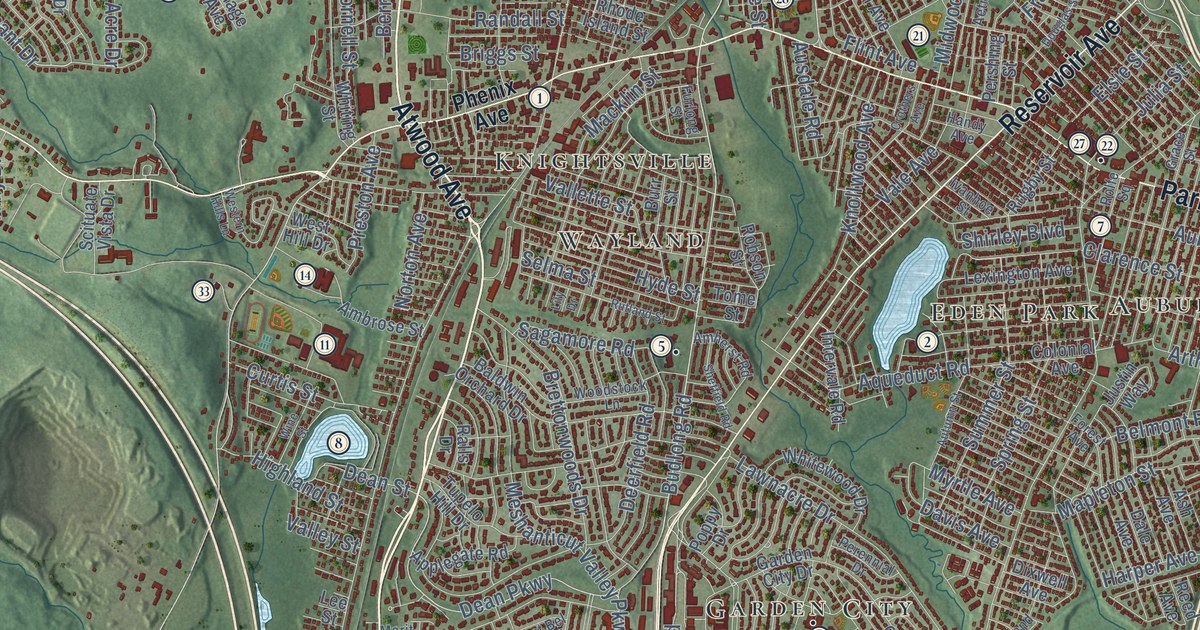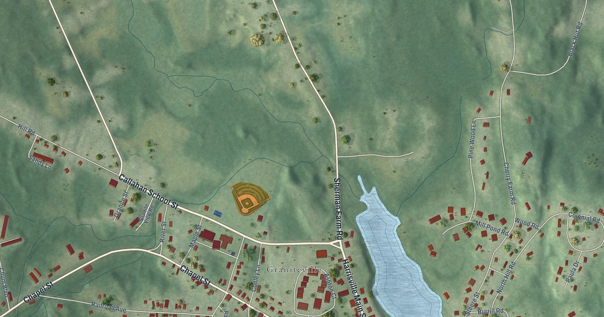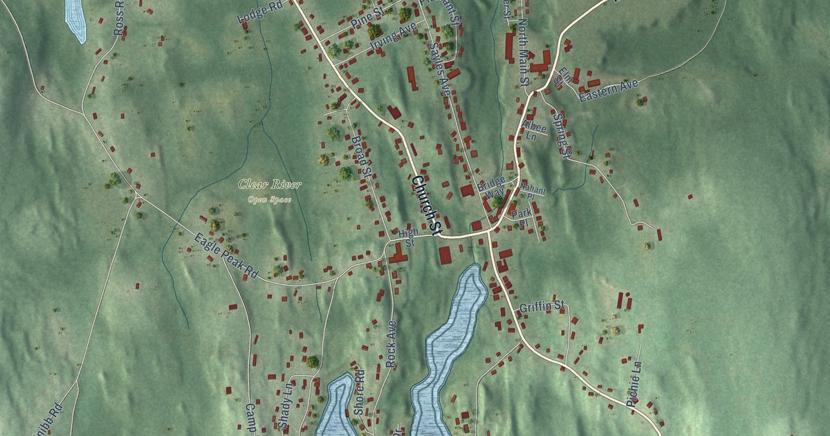
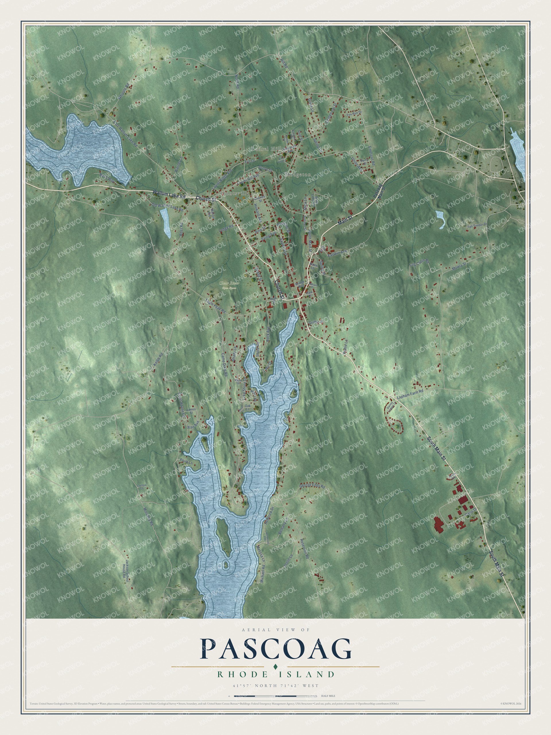
This beautifully detailed map of Pascoag, Rhode Island was created in 2026 using aerial imagery combined with modern topographical, census, street and landmark data. It's a modern aerial view of Pascoag in Providence County, Rhode Island, that combines modern data with a vintage aesthetic. The roads feature printed names, and if you look closely you can find your exact house accurately shown in its correct location.
Explore an aerial view of Pascoag, Rhode Island
On this map you'll find Laurel Hill, Huntsville, Bridgeton, Clear River Open Space, Church Street, Wallum Lake Road, Main Street, South Main Street, Bethany Lane, Melissa Lane, Michael Road, Hill Road, and more. Each red shape is a building, so zoom in on the preview and look for yours.
Pascoag is a community in Providence County. The Census Bureau counted 4,641 people here in 2020. Pascoag sits about 2 miles southwest of Harrisville, 4 miles northwest of Chepachet and 6 miles northwest of Harmony. The map prints the town name in its title panel, with the coordinates below it.
Take a closer look at the Pascoag map
Names on this map
These names are printed on this map.
Places: Laurel Hill, Huntsville, Bridgeton and Clear River Open Space.
Streets and roads: Church Street, Wallum Lake Road, Main Street, South Main Street, Bethany Lane, Melissa Lane, Michael Road, Hill Road, Joslin Lane, Shea Lane, Eastern Avenue, Reservoir Road.
More street names, A to Z
Alan Avenue, Albee Lane, Arthurs Way, Beach Road, Bridge Way, Broad Street, Camp Dixie Road, Carlton Lane, Centennial Street, Charles Street, Court House Lane, Davis Drive, Eagle Peak Road, East Wallum Lake Road, Elm Street, Emerson Road, Erin Lane, Fairbanks Avenue, Fox Run Drive, Garvey Ledges Lane, George Eddy Road, Griffin Street, Grove Lane, Grove Street, Guay Street, Hamlet Street, Hemlock Drive, High Street, Howard Avenue, Irving Avenue, Jackson School House Road, James Street, Knibb Road, Lake Drive, Lake Shore Drive, Lapham Farm Road, Laurel Hill Avenue, Laurel Ridge Avenue, Lodge Road, Log Cabin Road, Maple Terrace, Marion Avenue, Moroney Road, Moss Lane, Mowry Street, Nahant Place, Neris Way, North Main Street, North Road, Oak Lane, Old Wallum Lake Road, Park Place, Pascoag Main Street, Perry Street, Pichie Lane, Pine Street, Pine View Lane, Pleasant Street, Point Lane, Rock Avenue, Roosevelt Avenue, Ross Road, Sayles Avenue, Shady Lane, Shore Road, Silver Lake Avenue, Spring Lane, Spring Street, Summer Street, Tall Timber Drive, Union Avenue, Warner Lane, Whipple Road, Whispering Pine.
See it on a wall
The Pascoag map as a framed print. Swipe for more.


Created by KNOWOL in 2026. The buildings are small red shapes, the roads carry their printed names, and shaded relief shows the shape of the land. The title panel reads "AERIAL VIEW OF PASCOAG, RHODE ISLAND" with 41°57' NORTH 71°42' WEST.
Hang it in the hallway, the office or the cabin, or give it to someone who left Pascoag and still calls it home. Open the preview and look for a street you know. See sizes and frames for the Pascoag map.