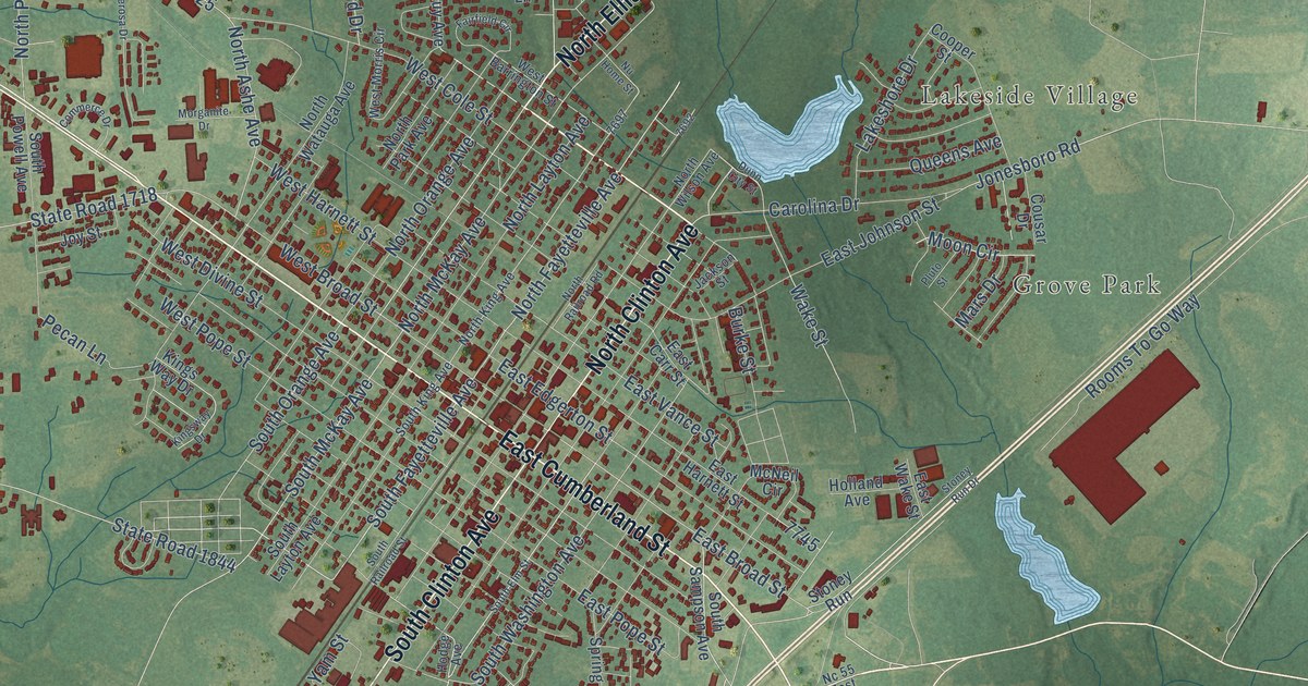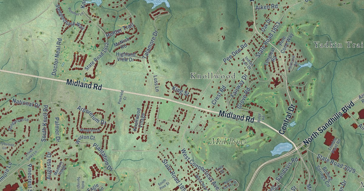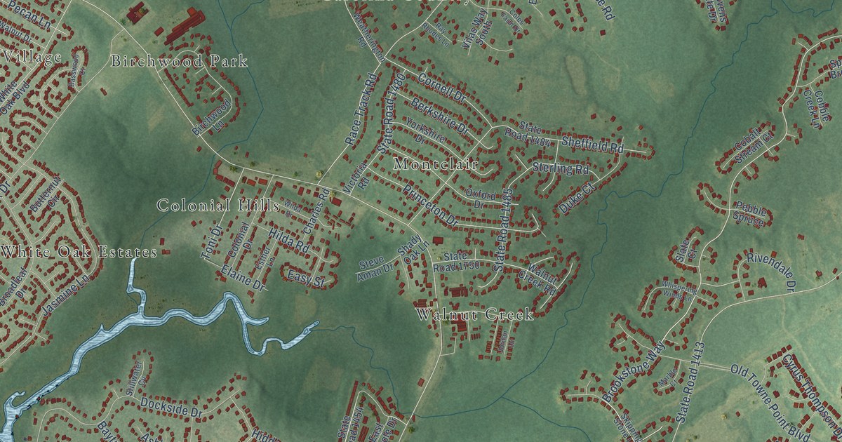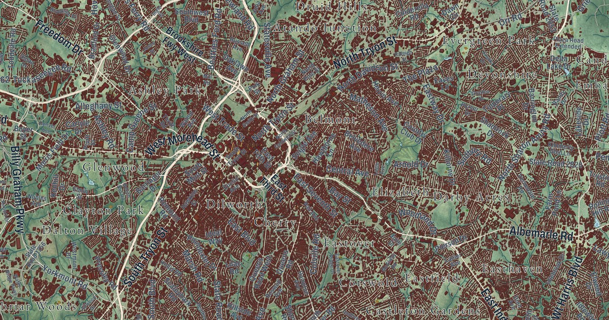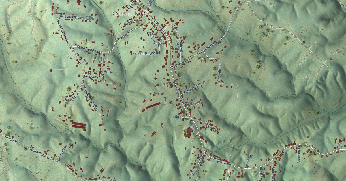
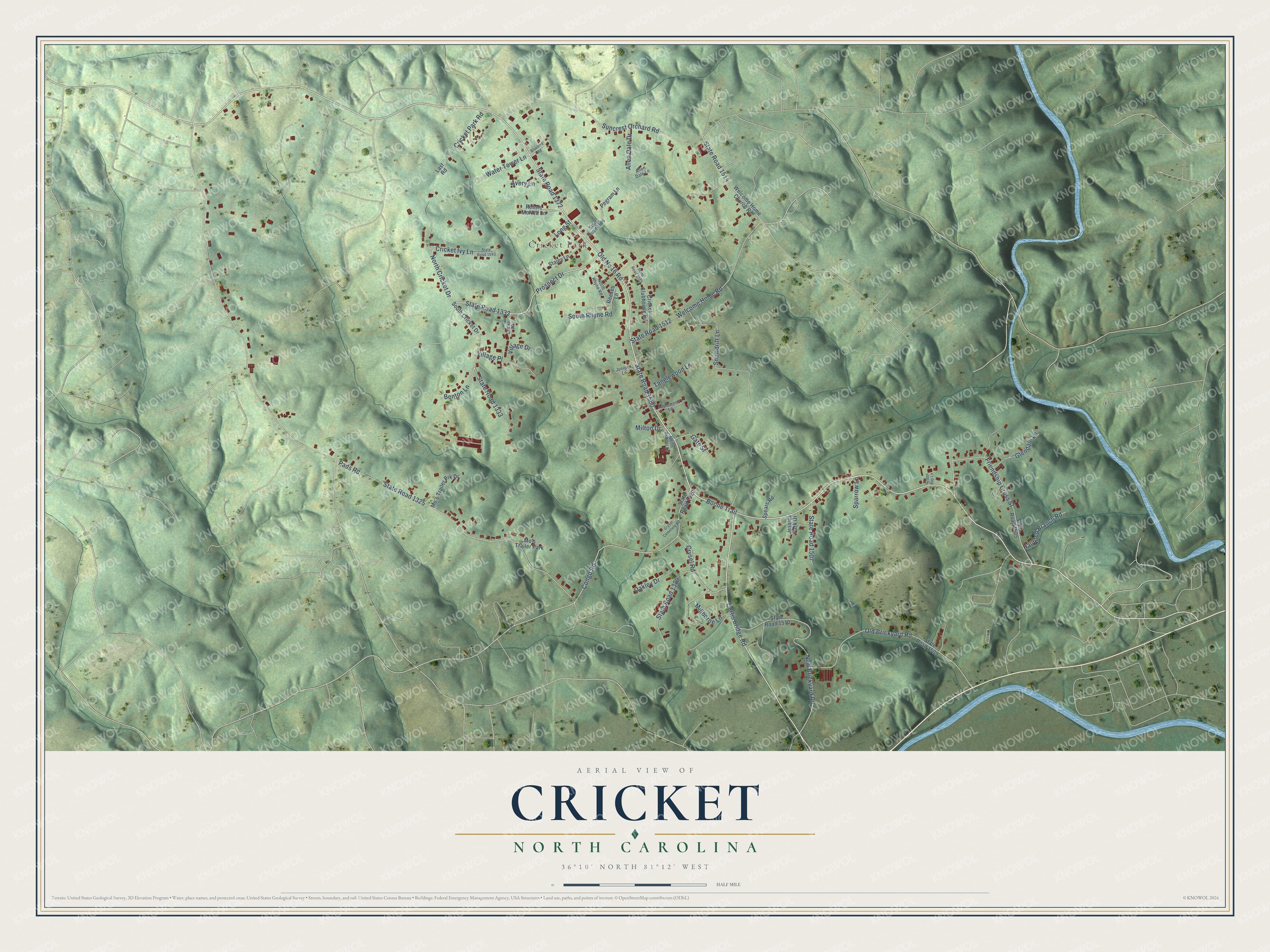
This beautifully detailed map of Cricket, North Carolina was created in 2026 using aerial imagery combined with modern topographical, census, street and landmark data. It's a modern aerial view of Cricket in Wilkes County, North Carolina, that combines modern data with a vintage aesthetic. The roads feature printed names, and if you look closely you can find your exact house accurately shown in its correct location.
Explore an aerial view of Cricket, North Carolina
On this map you'll find Cricket Park, Boone Trail, State Road 1372, State Road 1500, Prospect Drive, State Road 1332, Curtis Bridge Road, Old Nc 16 Road, Congo Road, Pads Road, State Road 1325, State Road 1333, and more. Each red shape is a building, so zoom in on the preview and look for yours.
Cricket is a community in Wilkes County. The Census Bureau counted 1,966 people here in 2020. Cricket sits about 2 miles northwest of Wilkesboro, 3 miles southeast of Millers Creek and 3 miles southwest of Fairplains. The map prints the town name in its title panel, with the coordinates below it.
Take a closer look at the Cricket map
Names on this map
These names are printed on this map.
Places: Cricket Park and Mo's Trailer Park.
Streets and roads: Boone Trail, State Road 1372, State Road 1500, Prospect Drive, State Road 1332, Curtis Bridge Road, Old Nc 16 Road, Congo Road, Pads Road, State Road 1325, State Road 1333, Suncrest Orchard Road.
More street names, A to Z
Allen Dale Drive, Allen Dale Lane, Applewood Lane, Avery Lane, Benton Lane, Bluebird Road, Cricket Clubhouse Road, Cricket Ivy Lane, Cricket Park Road, Cricket Place, Crysel Cemetery Road, Crysel Road, Friendship Cross Street, Gate Street, Glendale Lane, Green Bay Lane, Haunted Branch Road, Jessies Park Drive, Juniper Lane, Last Road, Long Street, Millborne Lane, Milton Drive, Mo's Trailer Prk Drive, New Brickyard Road, North Cricket Drive, North Rhyne Road, Oakley Drive, Old Brickyard Road, Pegram Lane, Reeves Lane, Ressie McNeil Lane, Snowdrift Lane, South Cricket Drive, South Rhyne Road, Sparrow Lane, Spears Road, Staley Lane, State Road 1320, State Road 1329, State Road 1505, State Road 1507, State Road 1509, State Road 1510, State Road 1512, State Road 1513, State Road 1514, State Road 1516, State Road 1593, Tanglewood Lane, Union School Drive, Village Drive, Village Place, Water Tower Lane, Welcome Home Church Road, Welcome Home Road.
See it on a wall
The Cricket map as a framed print. Swipe for more.


Created by KNOWOL in 2026. The buildings are small red shapes, the roads carry their printed names, and shaded relief shows the shape of the land. The title panel reads "AERIAL VIEW OF CRICKET, NORTH CAROLINA" with 36°10' NORTH 81°12' WEST.
Hang it in the hallway, the office or the cabin, or give it to someone who left Cricket and still calls it home. Open the preview and look for a street you know. See sizes and frames for the Cricket map.