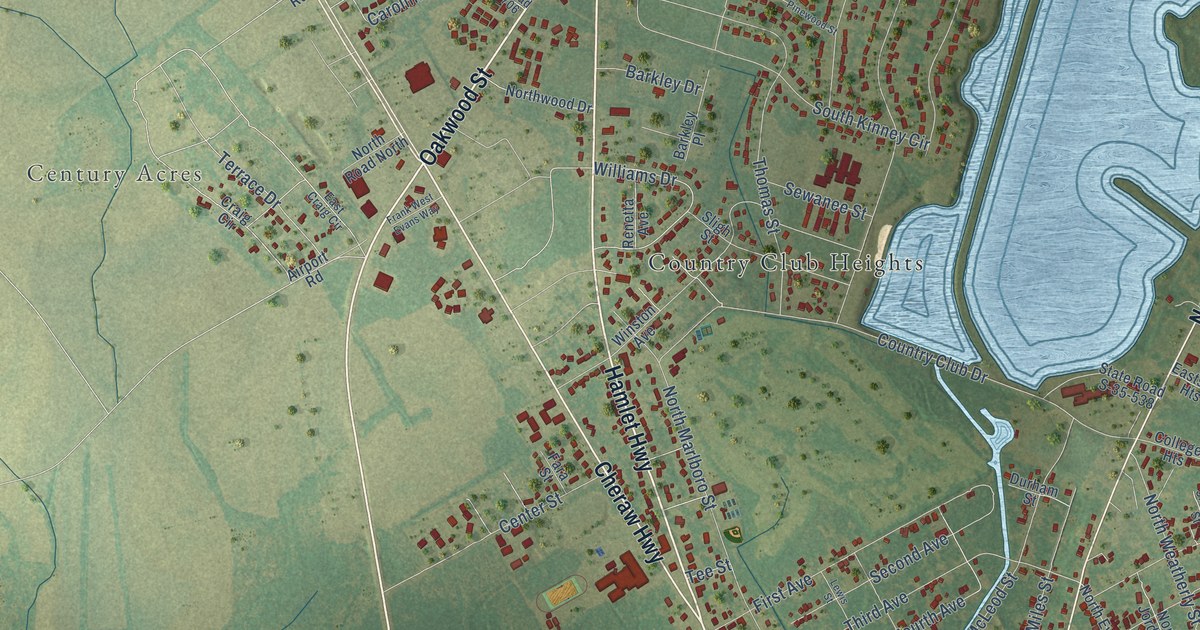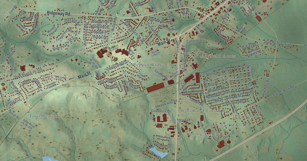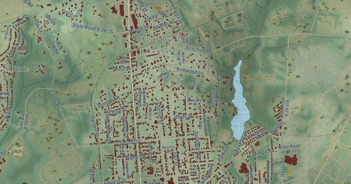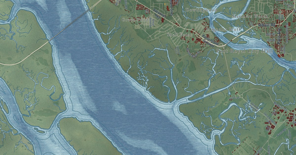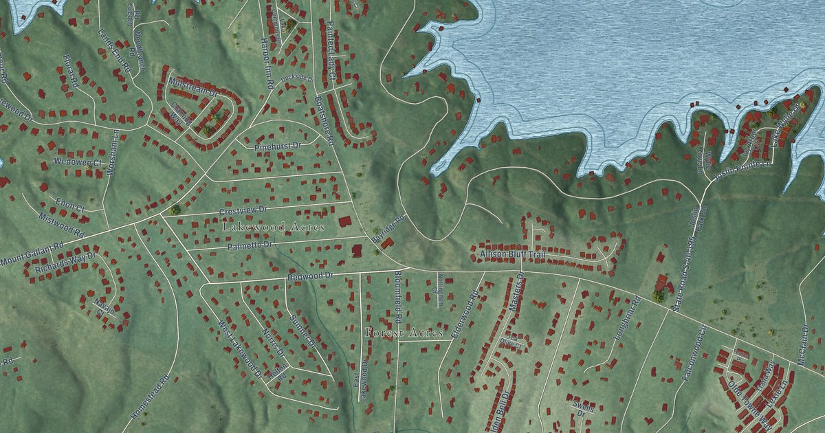
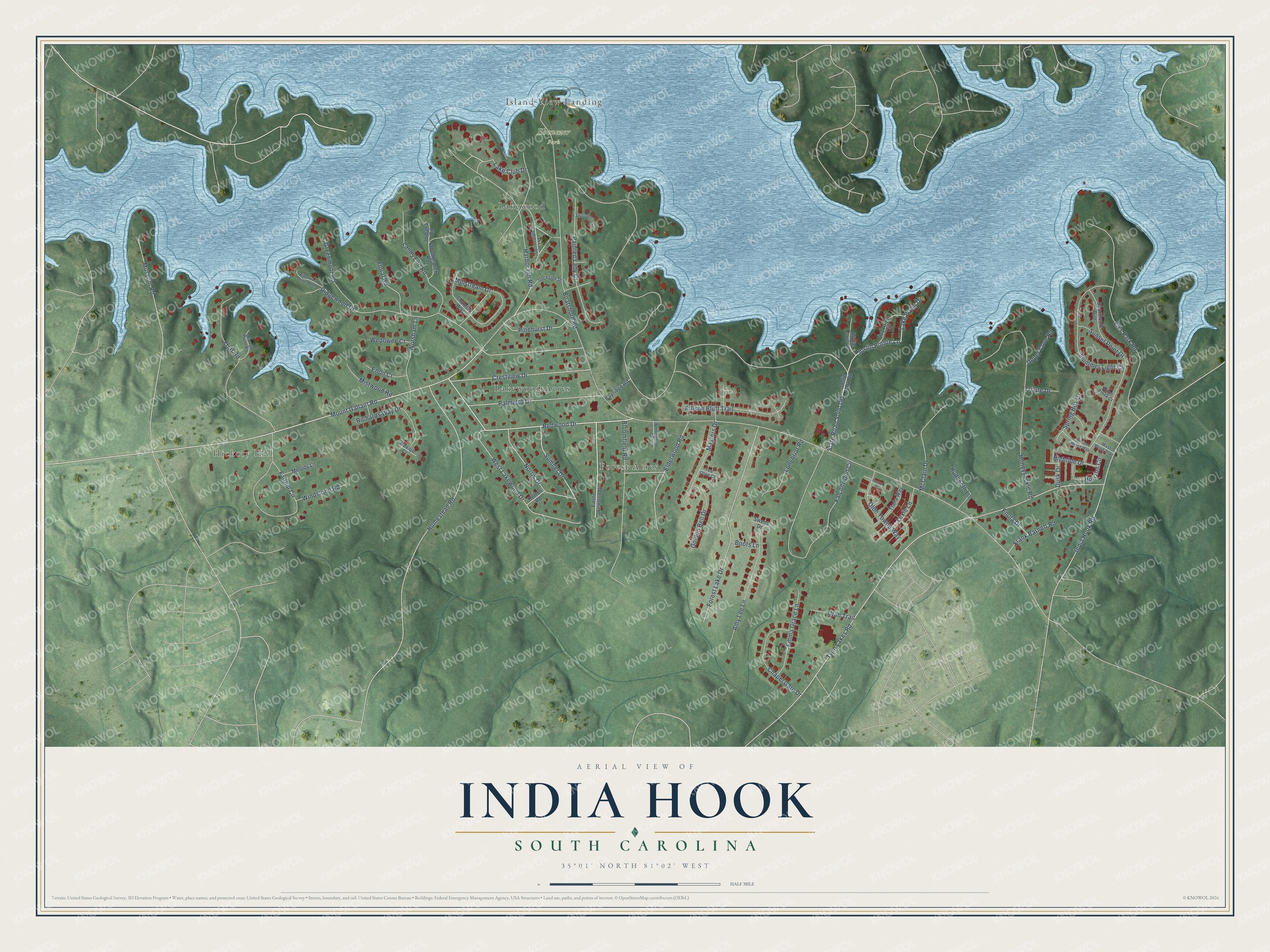
India Hook is a community of 3,817 in York County, South Carolina. This beautifully detailed map of India Hook, South Carolina was created in 2026 using aerial imagery combined with modern topographical, census, street and landmark data. It's a modern aerial view of India Hook in York County, South Carolina, that combines modern data with a vintage aesthetic. The roads feature printed names, and if you look closely you can find your exact house accurately shown in its correct location.
Explore an aerial view of India Hook, South Carolina
On this map you'll find Hickory Hill, Ebenezer Park, Forest Acres, Lakewood, Lakewood Acres, Island View Landing, Redwood Drive, Lake Club Drive, State Road S-46-195, Joslin Pointe Lane, Mount Gallant Road, Lake Wylie Drive, and more. Each red shape is a building, so zoom in on the preview and look for yours.
India Hook is a community in York County. The Census Bureau counted 3,817 people here in 2020. India Hook sits about 2 miles southwest of Tega Cay, 2 miles west of Riverview and 3 miles west of Baxter Village. The map prints the town name in its title panel, with the coordinates below it.
Take a closer look at the India Hook map
Names on this map
These names are printed on this map.
Places: Hickory Hill, Ebenezer Park, Forest Acres, Lakewood, Lakewood Acres and Island View Landing.
Streets and roads: Redwood Drive, Lake Club Drive, State Road S-46-195, Joslin Pointe Lane, Mount Gallant Road, Lake Wylie Drive, Twin Lakes Road, Ridgewood Drive, Falconwood Circle, Elks Park Road, Honeysuckle Road, India Hook Road.
More street names, A to Z
Allison Bluff Trail, Amy Lee Lane, Barron Point Road, Bayridge Road, Bitter Brook Court, Bloomfield Road, Boardwalk Run, Boatshore Road, Boots Lane, Chapel Gate Drive, Crannog Way, Crestview Drive, Dockside Drive, Dusk Drive, East Lakewood Drive, Elderwood Road, Emma Grace Lane, Enola Drive, Enon Court, Fairhill Circle, Fenton Place, Floral Road, Forest Lake Drive, Frank Barnett Road, Friar Road, Golden Bell Drive, Greenmoor Road, Harbor Inn Road, Hightide Drive, Holton Road, Homestead Road, Horizon Circle, Hudspeth Lane, Ivy Arbor Circle, Joslin Park Road, Lake Commons Drive, Lands End Road, Lexie Lane, Longbriar Road, Masters Drive, Mast Wind Trail, McClain Drive, Melody Lane, Millstream Drive, Mistwood Road, Museum Road, Navajo Court, Norris Drive, Nottingham Court, Olde Towne Way, Painted Lady Court, Palmetto Drive, Pinehurst Drive, Richards Way Drive, Ridgewood Drive North, Shimmer Light Circle, Spring Box Court, Summer House Way, Sumner Drive, Sunset Point Drive, Swallowtail Court, Swens Drive, Tea Olive Court, Tiana Way, Troute Drive, Upper Cove Road, Urbana Road, Utah Trail, Wedowee Court, West Lakewood Drive, Windstone Road, Woodbranch Road, Worsham Lane, Wylie Cove Lane.
See it on a wall
The India Hook map as a framed print. Swipe for more.


Created by KNOWOL in 2026. The buildings are small red shapes, the roads carry their printed names, and shaded relief shows the shape of the land. The title panel reads "AERIAL VIEW OF INDIA HOOK, SOUTH CAROLINA" with 35°01' NORTH 81°02' WEST.
It suits a den, a classroom or a front hall, and it makes a gift for anyone with India Hook roots. Open the preview and find the block you know. See sizes and frames for the India Hook map.