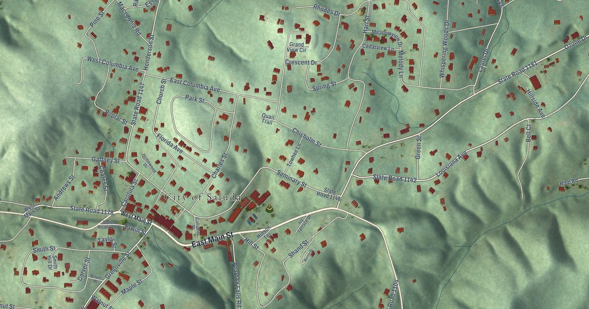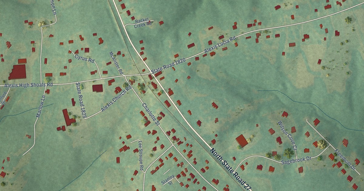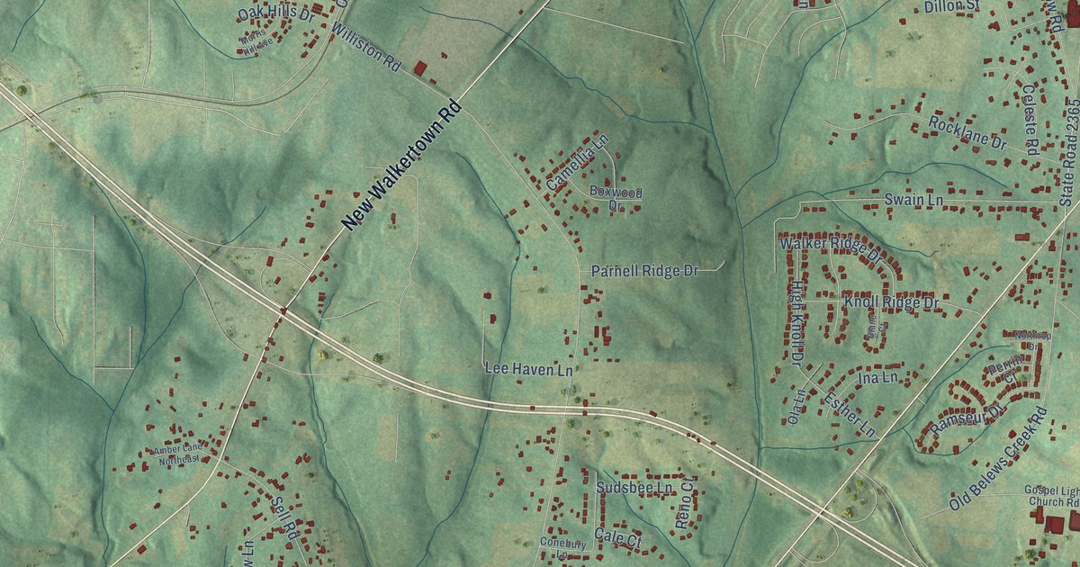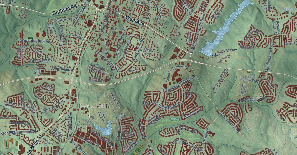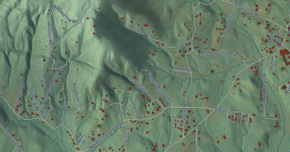
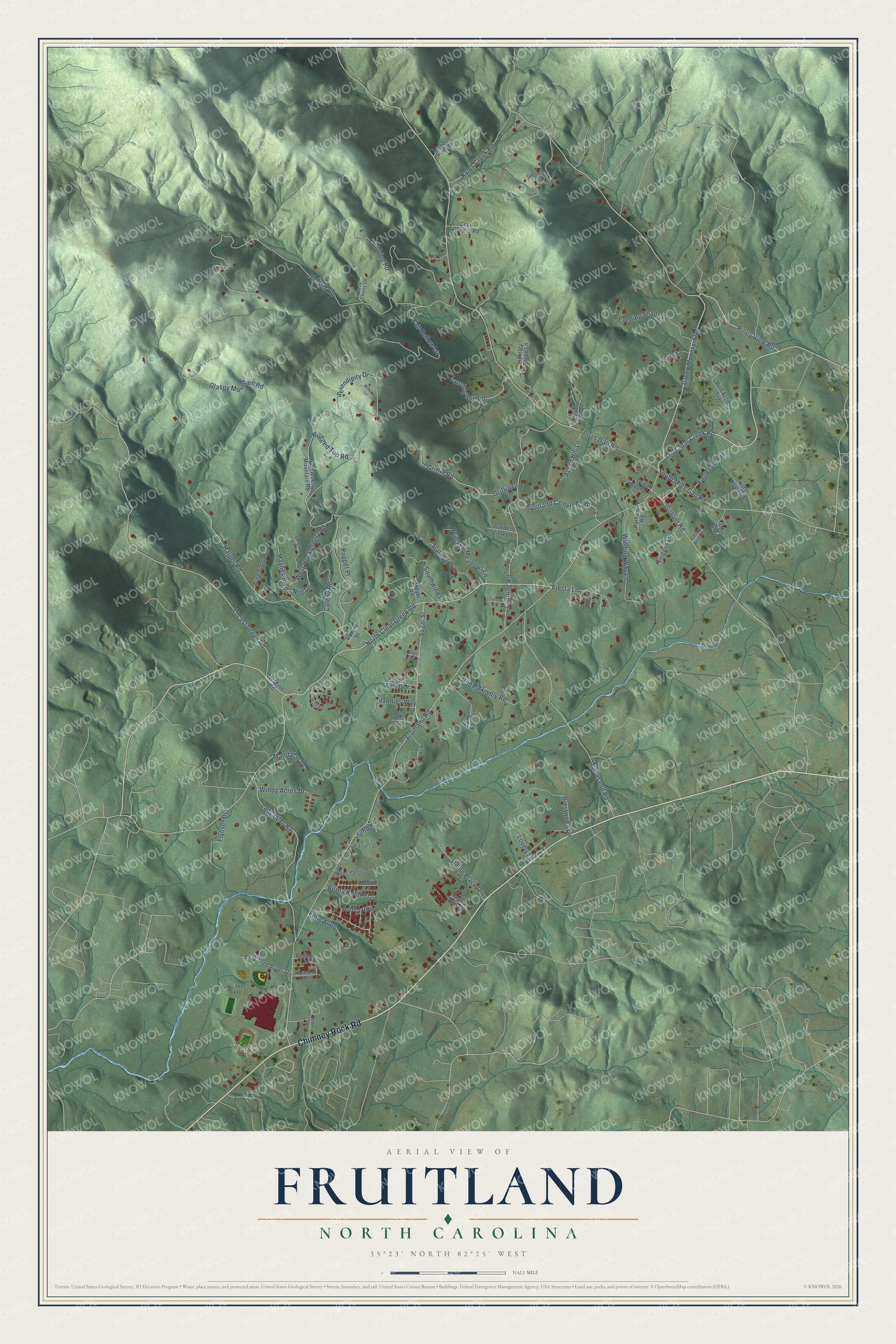
This beautifully detailed map of Fruitland, North Carolina was created in 2026 using aerial imagery combined with modern topographical, census, street and landmark data. It's a modern aerial view of Fruitland in Henderson County, North Carolina, that combines modern data with a vintage aesthetic. The roads feature printed names, and if you look closely you can find your exact house accurately shown in its correct location.
Explore an aerial view of Fruitland, North Carolina
On this map you'll find U-No, Chimney Rock Road, Old Clear Creek Road, Ariel Loop, Piney View Road, Fruitland Road, North Clear Creek Road, Terrys Gap Road, Green Mountain Road, Old Mill Road, Locust Grove Road, Serendipity Drive, and more. Each red shape is a building, so zoom in on the preview and look for yours.
Fruitland is a community in Henderson County. The Census Bureau counted 2,257 people here in 2020. Fruitland sits about 3 miles south of Hoopers Creek, 5 miles west of Edneyville and 5 miles northeast of Balfour. The map prints the town name in its title panel, with the coordinates below it.
Take a closer look at the Fruitland map
Names on this map
These names are printed on this map.
Places: U-No.
Streets and roads: Chimney Rock Road, Old Clear Creek Road, Ariel Loop, Piney View Road, Fruitland Road, North Clear Creek Road, Terrys Gap Road, Green Mountain Road, Old Mill Road, Locust Grove Road, Serendipity Drive, Harper Road.
More street names, A to Z
Acorn Hill Lane, Angel Girl Lane, Berna Knoll Court, Birch Breeze Lane, Black Cherry Lane, Bogey Lane, Bolt Action Trail, Cecil Rogers Road, Climbing Road, Colony Road, Doe Trail, Dried Apple Lane, East Cotton Lane, East Evans Avenue, Edney Lane Drive, Enchanted Acres Drive, Evening Shade Lane, Fair Hollow Lane, Falling Star Lane, Fiesta Lane, Flintlock Trail, Flyover Drive, Fruitland Cemetery Road, Garden View Lane, Gebe Lane, Gilliam Road, Glaspy Mountain Road, Goodview Drive, Griffin Drive, Griffin Road, Haynes Boulevard, Home Place Drive, Homestead Circle, Huckleberry Mountain Road, Huntley Stepp Lane, Jannies Way, Jaymar Park Drive, Jumbo Lane, Klondike Lane, Kyles Creek Road, Lancaster Road, Lanning Mill Road, Lanning Road, Lovely Lane, Luredon Hills Drive, Mandalay Drive, Maxwell Farm Lane, Mazyck Lane, McMinn Road, Meyer Road, Milburn Lane, Montchannin Heights, Nile Drive, North Russell Lane, Parham Road, Peaceful Meadows Lane, Prairie Lane, Prestwood Lane, Puppet Place, Rollins Street, Ronald Lively Road, Rugged Top Road, Sims Alley, South Mills Gap Road, Southwind Drive, Starling Way, Sugar Park Drive, Sugar Street, Theatre Rock Road, Thompson Road, Torrey Drive, Townsend Road, Trigger Lane, Triple Oaks Drive, West Huckleberry Road, Winding Way Lane, Wind Song Way, Windy Acres Drive.
See it on a wall
The Fruitland map as a framed print. Swipe for more.


Created by KNOWOL in 2026. The buildings are small red shapes, the roads carry their printed names, and shaded relief shows the shape of the land. The title panel reads "AERIAL VIEW OF FRUITLAND, NORTH CAROLINA" with 35°23' NORTH 82°25' WEST.
It suits a den, a classroom or a front hall, and it makes a gift for anyone with Fruitland roots. Open the preview and find the block you know. See sizes and frames for the Fruitland map.