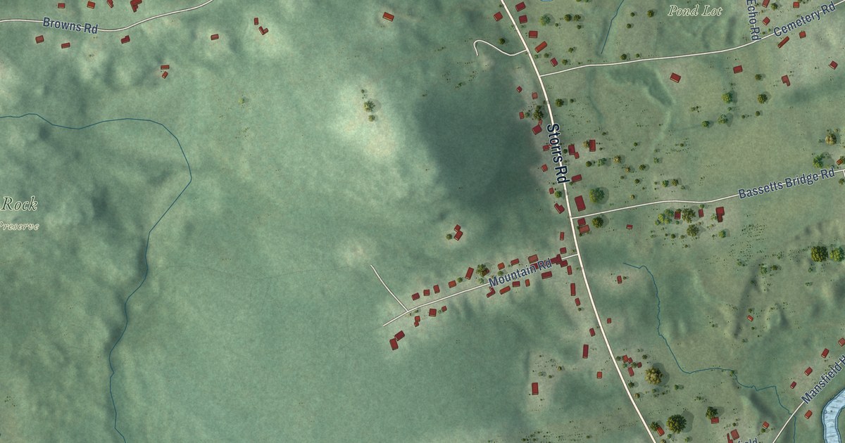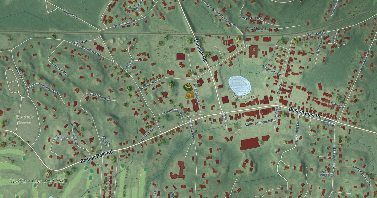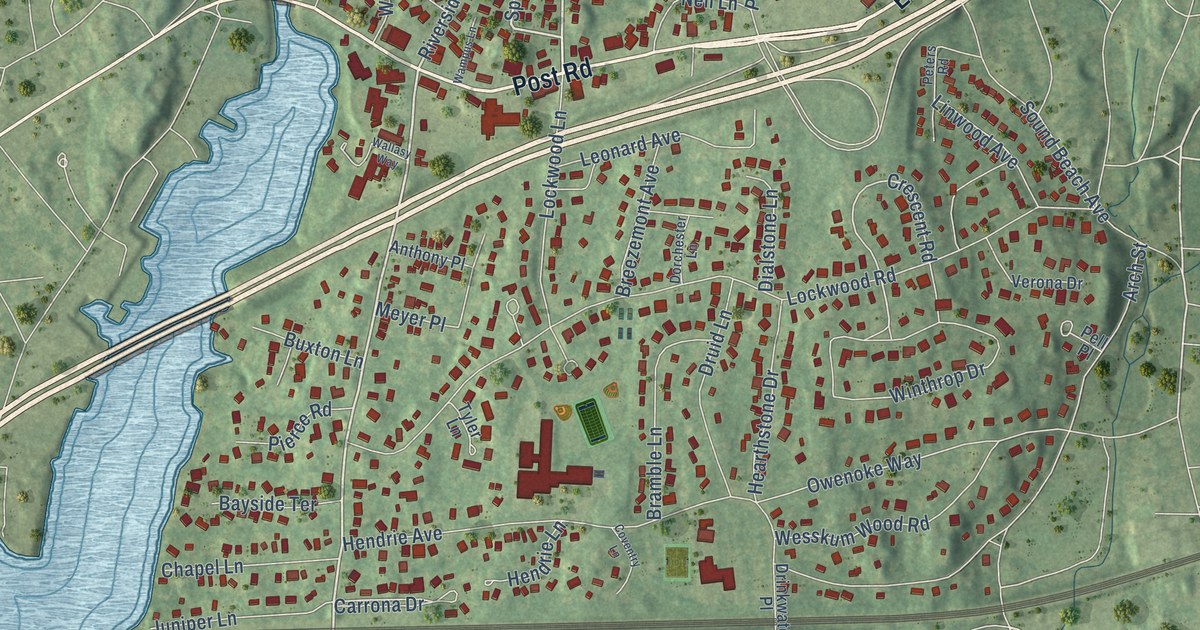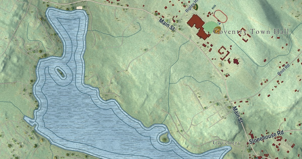
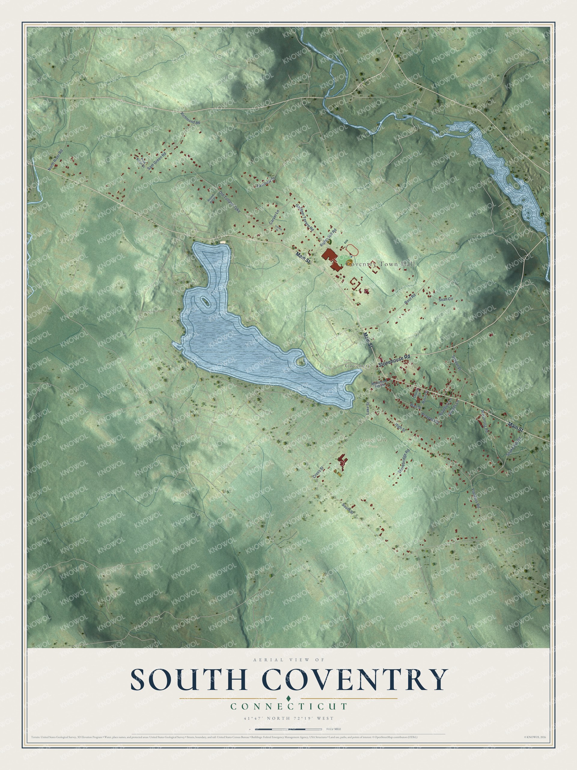
This beautifully detailed map of South Coventry, Connecticut was created in 2026 using aerial imagery combined with modern topographical, census, street and landmark data. It's a modern aerial view of South Coventry in Capitol Planning Region, Connecticut, that combines modern data with a vintage aesthetic. The roads feature printed names, and if you look closely you can find your exact house accurately shown in its correct location.
Explore an aerial view of South Coventry, Connecticut
On this map you'll find Coventry Town Hall, Coventry, Patriots Park Woods, Main Street, Stonehouse Road, Gardner Tavern Road, Carver Lane, Snake Hill Road, South Street, High Street, Old Tolland Turnpike, Sam Green Road, and more. Each red shape is a building, so zoom in on the preview and look for yours.
Here is a piece of South Coventry history. Settlement of South Coventry began around 1707 with families from Hartford, Windsor and Northampton, and the village was the center of the whole town of Coventry from the start. Mill Brook, which drops 250 feet in two miles from Lake Wangumbaug to the Willimantic River, turned a gristmill by 1716 and later powered mills at 17 sites. Addison Kingsbury's paper box business grew to five locations and was turning out 30,000 boxes a day by 1888. That's from the National Register of Historic Places.
South Coventry is a community in Capitol Planning Region. The Census Bureau counted 1,612 people here in 2020.
Take a closer look at the South Coventry map
Names on this map
These names are printed on this map.
Places: Coventry Town Hall, Coventry and Patriots Park Woods.
Streets and roads: Main Street, Stonehouse Road, Gardner Tavern Road, Carver Lane, Snake Hill Road, South Street, High Street, Old Tolland Turnpike, Sam Green Road, Cross Street, Root Road, School Street.
More street names, A to Z
Armstrong Road, Bradbury Lane, Church Lane, Eastview Drive, Flanders Road, Lake Street, Loomis Drive, Mason Street, Monument Hill Road, North River Road, Pine Knoll Drive, Prospect Street, Richmond Road, Ripley Hill Road, Round Hill Drive, Sean Circle, Stonebridge Road, Wall Street, Woods Lane.
See it on a wall
The South Coventry map as a framed print. Swipe for more.


Created by KNOWOL in 2026. The buildings are small red shapes, the roads carry their printed names, and shaded relief shows the shape of the land. The title panel reads "AERIAL VIEW OF SOUTH COVENTRY, CONNECTICUT" with 41°47' NORTH 72°19' WEST.
It suits a den, a classroom or a front hall, and it makes a gift for anyone with South Coventry roots. Open the preview and find the block you know. See sizes and frames for the South Coventry map.