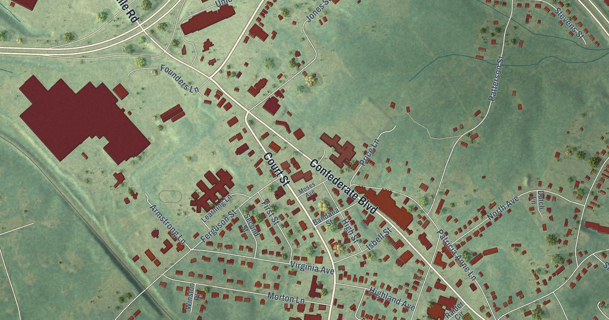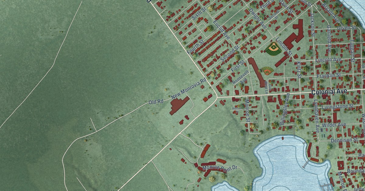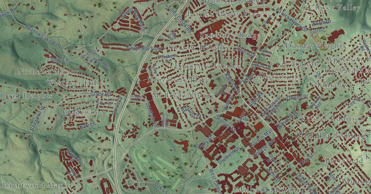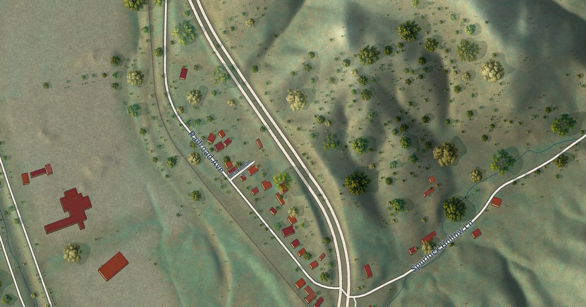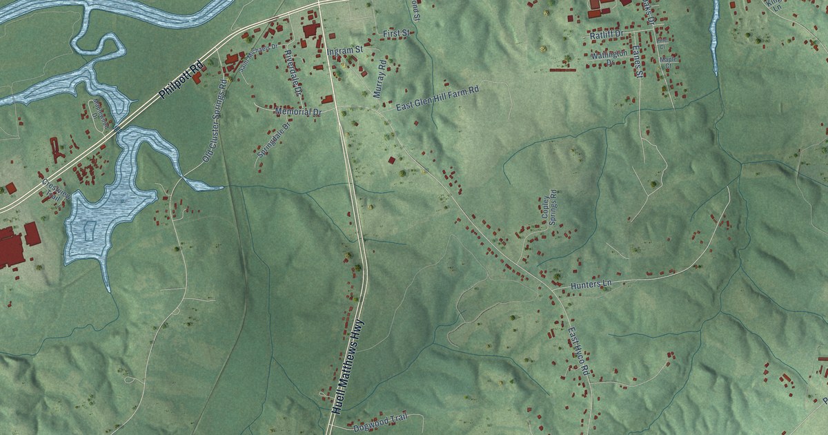
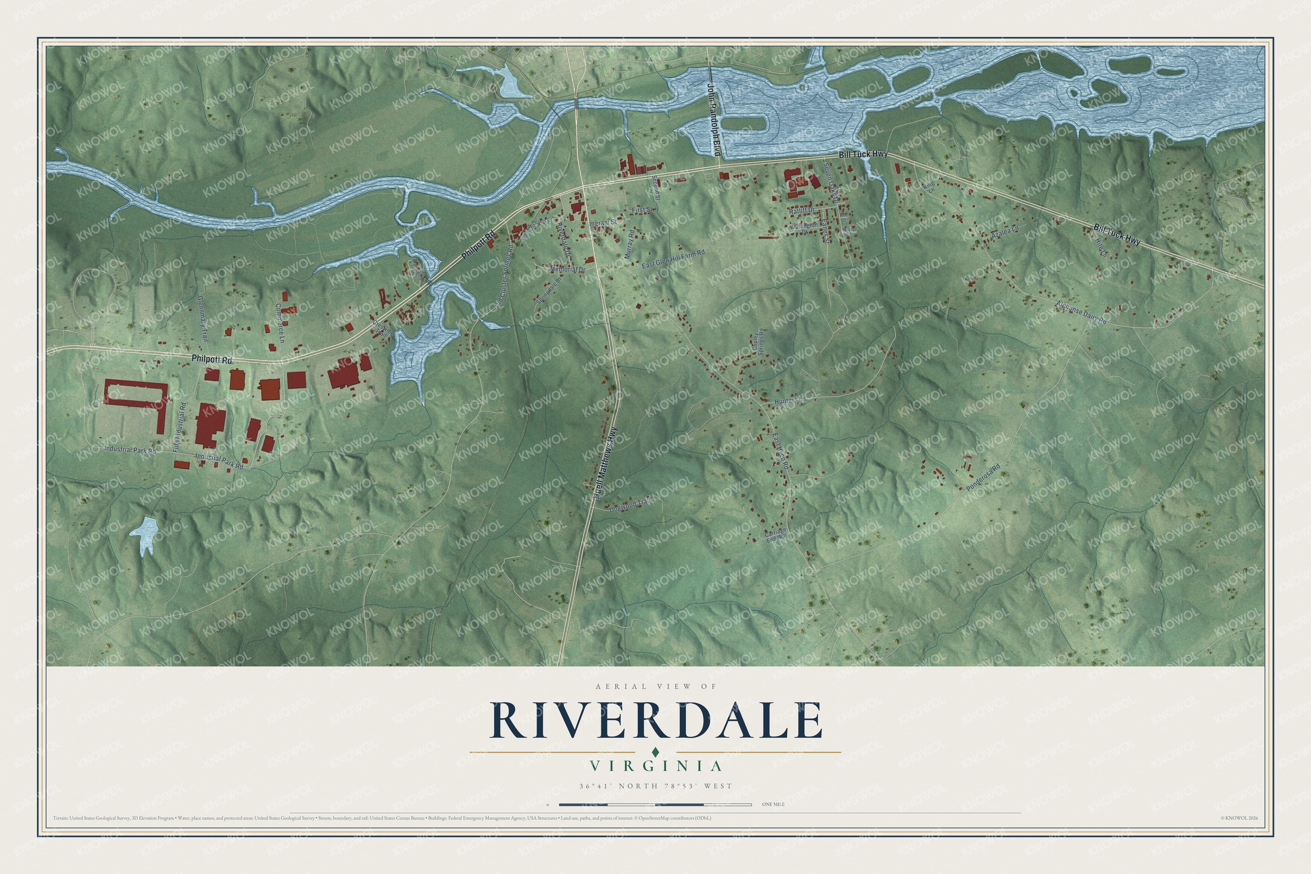
This beautifully detailed map of Riverdale, Virginia was created in 2026 using aerial imagery combined with modern topographical, census, street and landmark data. It's a modern aerial view of Riverdale in Halifax County, Virginia, that combines modern data with a vintage aesthetic. The roads feature printed names, and if you look closely you can find your exact house accurately shown in its correct location.
Explore an aerial view of Riverdale, Virginia
On this map you'll find Philpott Road, Huell Matthews Highway, Bill Tuck Highway, John Randolph Boulevard, Industrial Park Road, Indusrial Park Road, Memorial Drive, Alphonse Dairy Road, East Hyco Road, Ponderosa Road, Hunters Lane, Old Cluster Springs Road, and more. Each red shape is a building, so zoom in on the preview and look for yours.
Here is a piece of Riverdale history. Glennmary was begun in 1837 for Archibald Glenn, son of a Halifax merchant, by the builder Dabney Cosby Sr., who had worked on Thomas Jefferson's original buildings at the University of Virginia. Known for brickwork of the highest quality, the house stood neglected for many years but was restored in the 1980s. That's from the Virginia Department of Historic Resources.
Riverdale is a community in Halifax County. The Census Bureau counted 949 people here in 2020.
Take a closer look at the Riverdale map
Names on this map
These names are printed on this map.
Streets and roads: Philpott Road, Huell Matthews Highway, Bill Tuck Highway, John Randolph Boulevard, Industrial Park Road, Indusrial Park Road, Memorial Drive, Alphonse Dairy Road, East Hyco Road, Ponderosa Road, Hunters Lane, Old Cluster Springs Road.
More street names, A to Z
Azalea Lane, Carriage End Way, Commerce Lane, Copley Springs Road, Crestview Trail, Dogwood Trail, Eanes Street, East Glen Hill Farm Road, First Street, Fulp Industrial Road, Glennmary Trail, Hite Lane, Ingram Street, King Lane, Maple Court, Maplewood Drive, Murray Road, Pine Court, Ratliff Drive, Riverdale Drive, Saint Michaels Drive, Second Street, Seven Oaks Drive, Springdale Drive, Watlington Drive.
See it on a wall
The Riverdale map as a framed print. Swipe for more.


Created by KNOWOL in 2026. The buildings are small red shapes, the roads carry their printed names, and shaded relief shows the shape of the land. The title panel reads "AERIAL VIEW OF RIVERDALE, VIRGINIA" with 36°41' NORTH 78°53' WEST.
It suits a den, a classroom or a front hall, and it makes a gift for anyone with Riverdale roots. Open the preview and find the block you know. See sizes and frames for the Riverdale map.