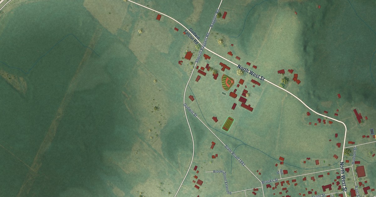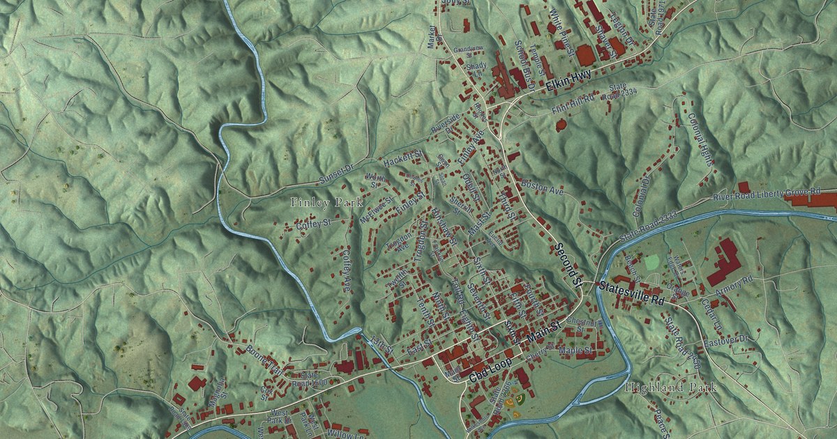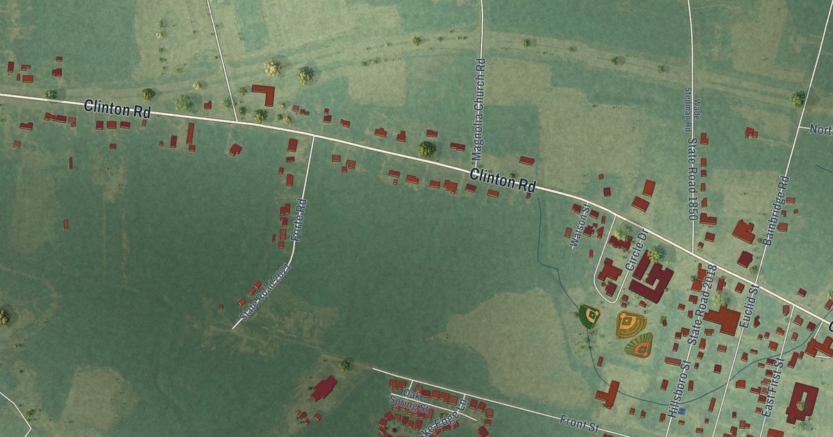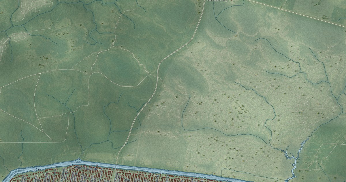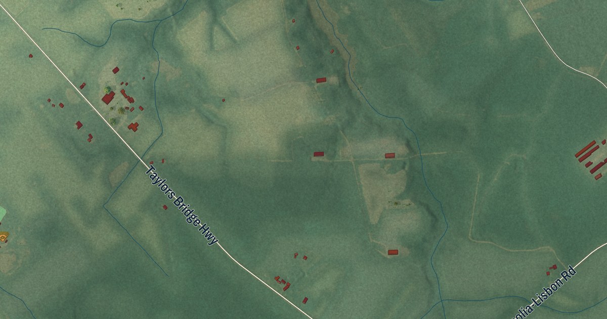
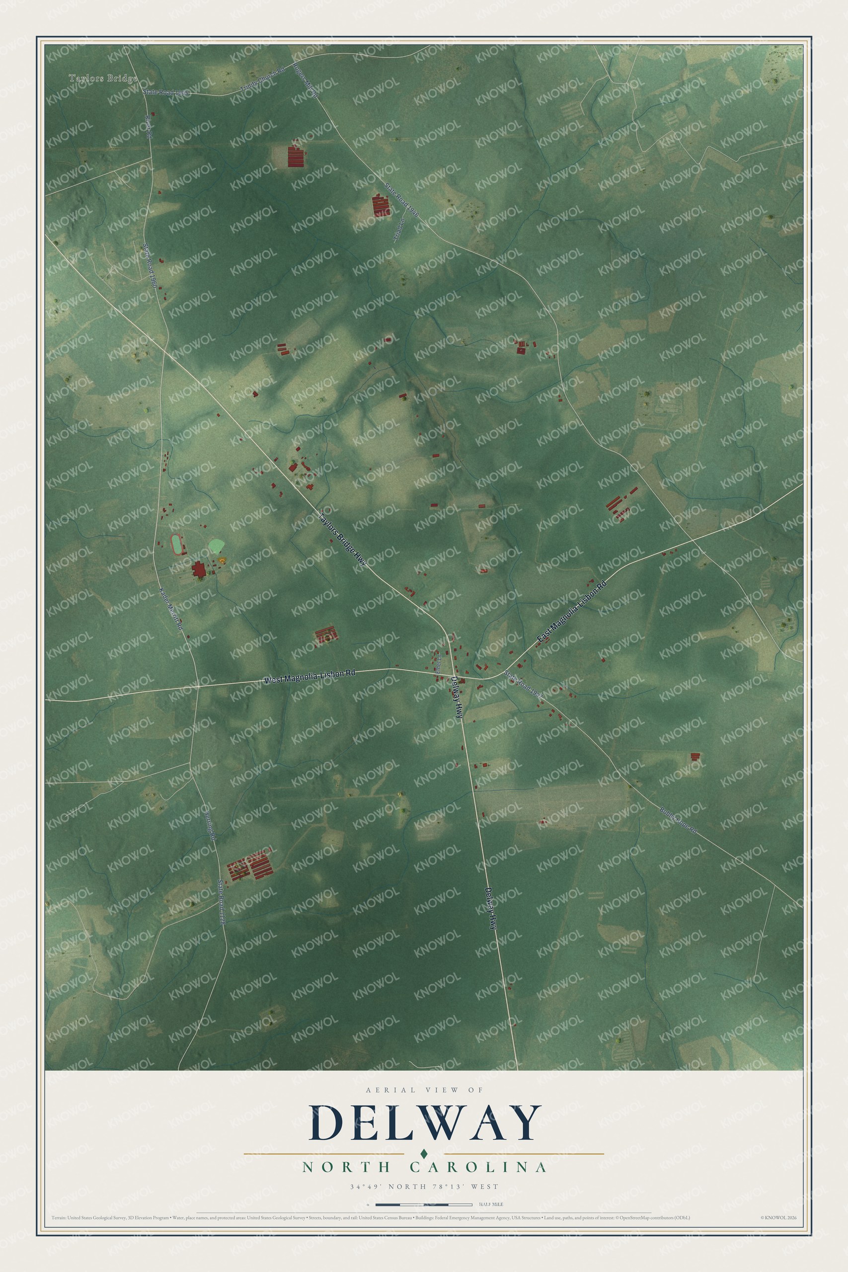
This beautifully detailed map of Delway, North Carolina was created in 2026 using aerial imagery combined with modern topographical, census, street and landmark data. It's a modern aerial view of Delway in Sampson County, North Carolina, that combines modern data with a vintage aesthetic. The roads feature printed names, and if you look closely you can find your exact house accurately shown in its correct location.
Explore an aerial view of Delway, North Carolina
On this map you'll find Taylors Bridge, Taylors Bridge Highway, Delway Highway, East Magnolia-Lisbon Road, West Magnolia-Lisbon Road, Kader Merritt Road, Rogers Mill Road, State Road 1946, State Road 1128, Bobby Hope Road, State Road 1947, River Road, and more. Each red shape is a building, so zoom in on the preview and look for yours.
Delway has a story worth telling. In 1902 three local men, C. C. Johnson, William J. Fryar and A. R. Herring, founded the Dell School at Delway on land Johnson gave. In its 21 years the Baptist school counted six foreign missionaries, sixteen physicians and twenty ministers among its pupils. The big two-story brick academy went up in 1908. After public schools opened in Ingold and Harrells, the Baptist Convention withdrew its support, and the school closed after commencement in 1923. That's from the National Register of Historic Places.
Delway is a community in Sampson County. The Census Bureau counted 150 people here in 2020.
Take a closer look at the Delway map
Names on this map
These names are printed on this map.
Places: Taylors Bridge.
Streets and roads: Taylors Bridge Highway, Delway Highway, East Magnolia-Lisbon Road, West Magnolia-Lisbon Road, Kader Merritt Road, Rogers Mill Road, State Road 1946, State Road 1128, Bobby Hope Road, State Road 1947, River Road, State Road 1960.
More street names, A to Z
Ethel Lane, Herring Road, State Road 1945, Triad Lane, Trinity Church Road.
See it on a wall
The Delway map as a framed print. Swipe for more.


Created by KNOWOL in 2026. The buildings are small red shapes, the roads carry their printed names, and shaded relief shows the shape of the land. The title panel reads "AERIAL VIEW OF DELWAY, NORTH CAROLINA" with 34°49' NORTH 78°13' WEST.
It looks right in a kitchen, an office or a den, and it's a gift for anyone who grew up in Delway or moved away. Open the preview and find your street. See sizes and frames for the Delway map.