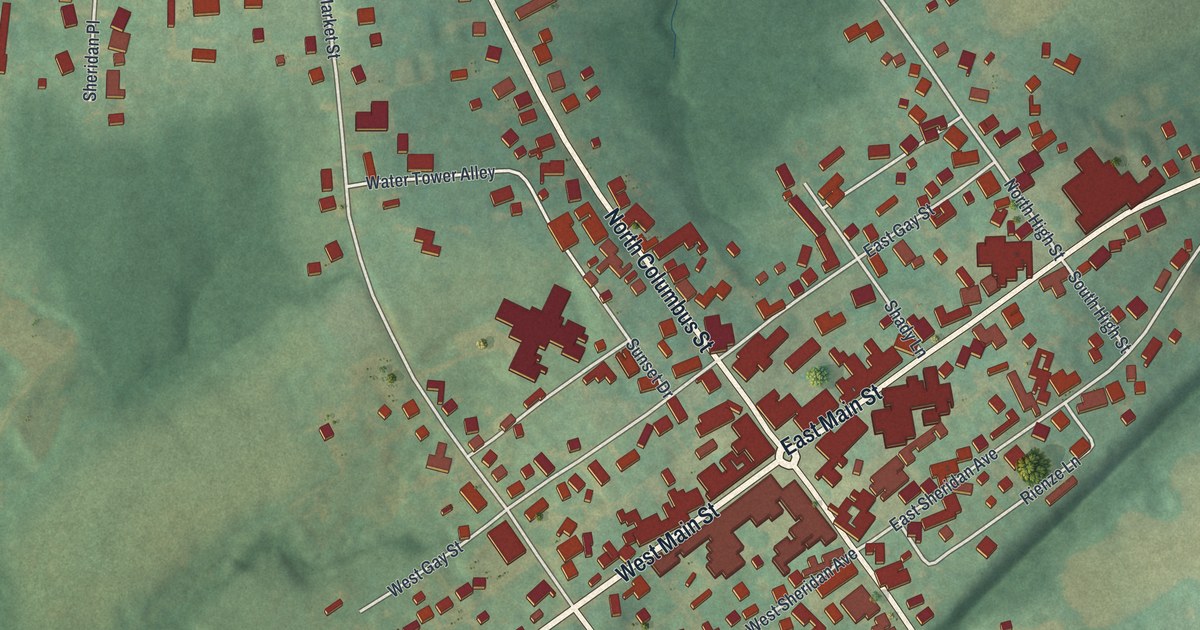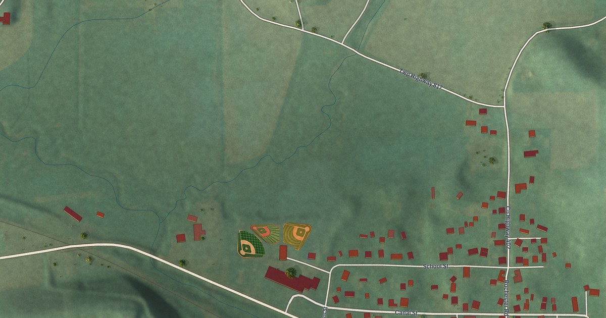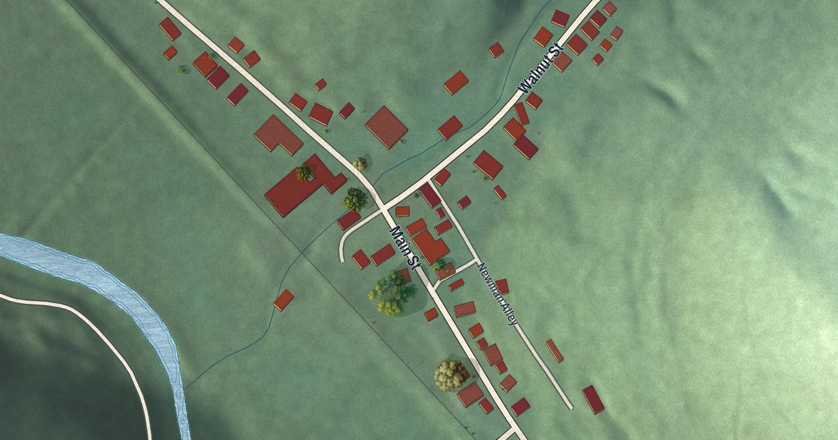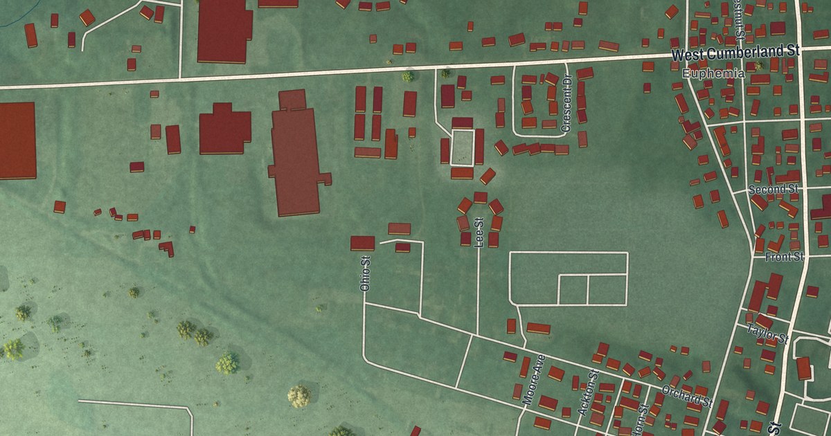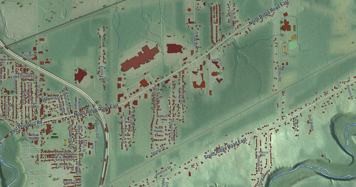
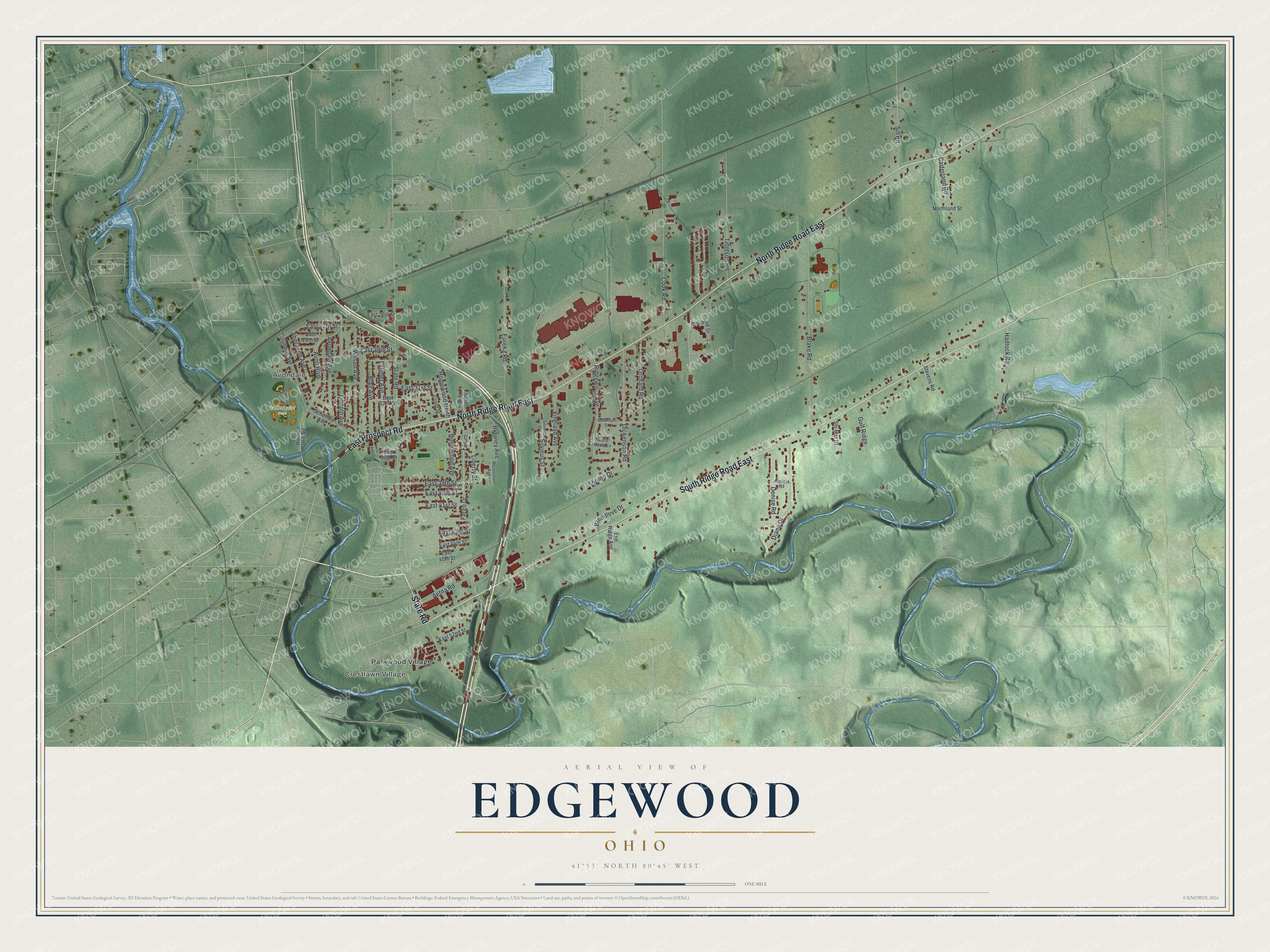
This beautifully detailed map of Edgewood, Ohio was created in 2026 using aerial imagery combined with modern topographical, census, street and landmark data. It’s a one-of-a-kind view of Edgewood that combines accurate data with a vintage aesthetic. The map shows every building in its true location, many of the roads carry their names, and the shaded topographic relief shows the shape of the land.
Explore an aerial view of Edgewood, Ohio
On the map you’ll find Crestlawn Village, Avondale, Cederquist Park, and Parkwood Village, along with State Road, East Prospect Road, North Ridge Road East, South Ridge Road East, Vineland Avenue, Ridgewood Avenue, Brawley Avenue, Lincoln Avenue, and more. Edgewood sits about 3 miles east of Ashtabula, 4 miles west of Kingsville and 5 miles southwest of North Kingsville. If you look closely you can even find your house accurately drawn in its correct location. Zoom in on the preview to look for yours.
Take a closer look at the Edgewood map
Names on this map
These names are printed on this map.
Places: Crestlawn Village, Avondale, Cederquist Park and Parkwood Village.
Streets and roads: State Road, East Prospect Road, North Ridge Road East, South Ridge Road East, Vineland Avenue, Ridgewood Avenue, Brawley Avenue, Lincoln Avenue, Blake Road, Cook Road, Eureka Road, Fargo Drive.
More street names, A to Z
Aberdeen Avenue, Aetna Road, Avon Boulevard, Avondale Avenue, Blair Avenue, Breedlove Drive, Carterland Road, Columbus Avenue, Court Street, Denise Road, Diane Drive, Dickenson Road, Donahoe Drive, East 26th Street, East 27th Street, East 28th Street, East 29th Street, East 31st Street, East 32nd Street, East 36th Street, East 39th Street, East 40th Street, East 41st Street, East 43rd Street, East 44th Street, East 45th Street, East 52nd Street, Erie Ridge Avenue, Fargo, Gulf Ridge, Hadlock Road, Harmon Hill Road, Homewood Avenue, Homewood North, Latimer Avenue, Liberty Street, Luce Avenue, North Fargo, Northland Street, North Maple Lane, Orchard Road, Patricia Road, Resolution Avenue, Schenley Avenue, Shi Mar Drive, Shomo Drive, Sill Road, Silvieus Drive, Silvieus Street, Stevens Road, Suburban Street, Tillotson Road, Wilson Avenue.
See it on a wall
The Edgewood map as a framed print. Swipe for more.


This beautifully detailed map of Edgewood makes an attractive addition to your office, library, or den, and it can even be used to teach children the geography and history of the area. It also makes a great gift for anyone who grew up in Edgewood or moved away. When you’re done exploring, click here to get your copy of the Edgewood map.