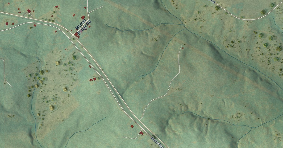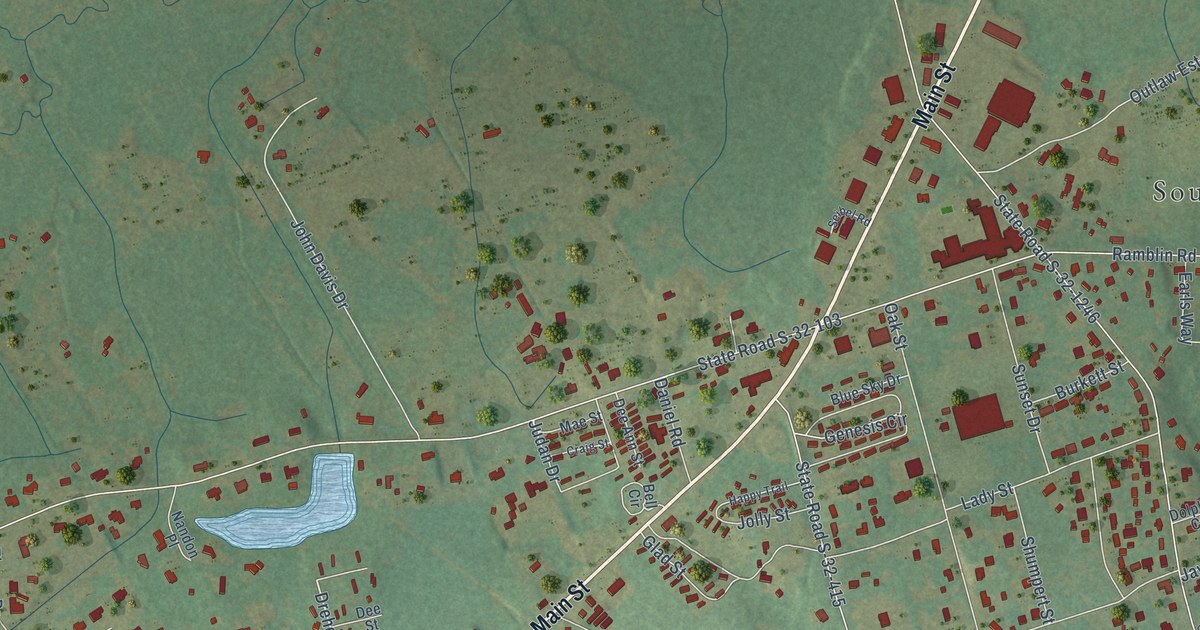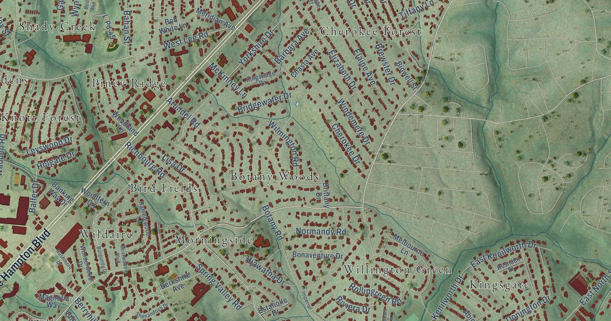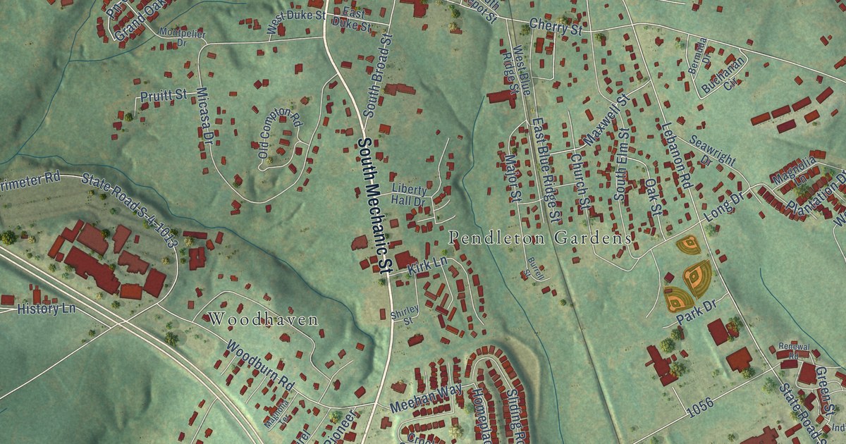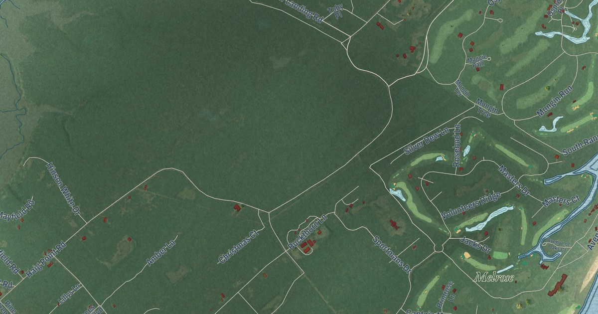
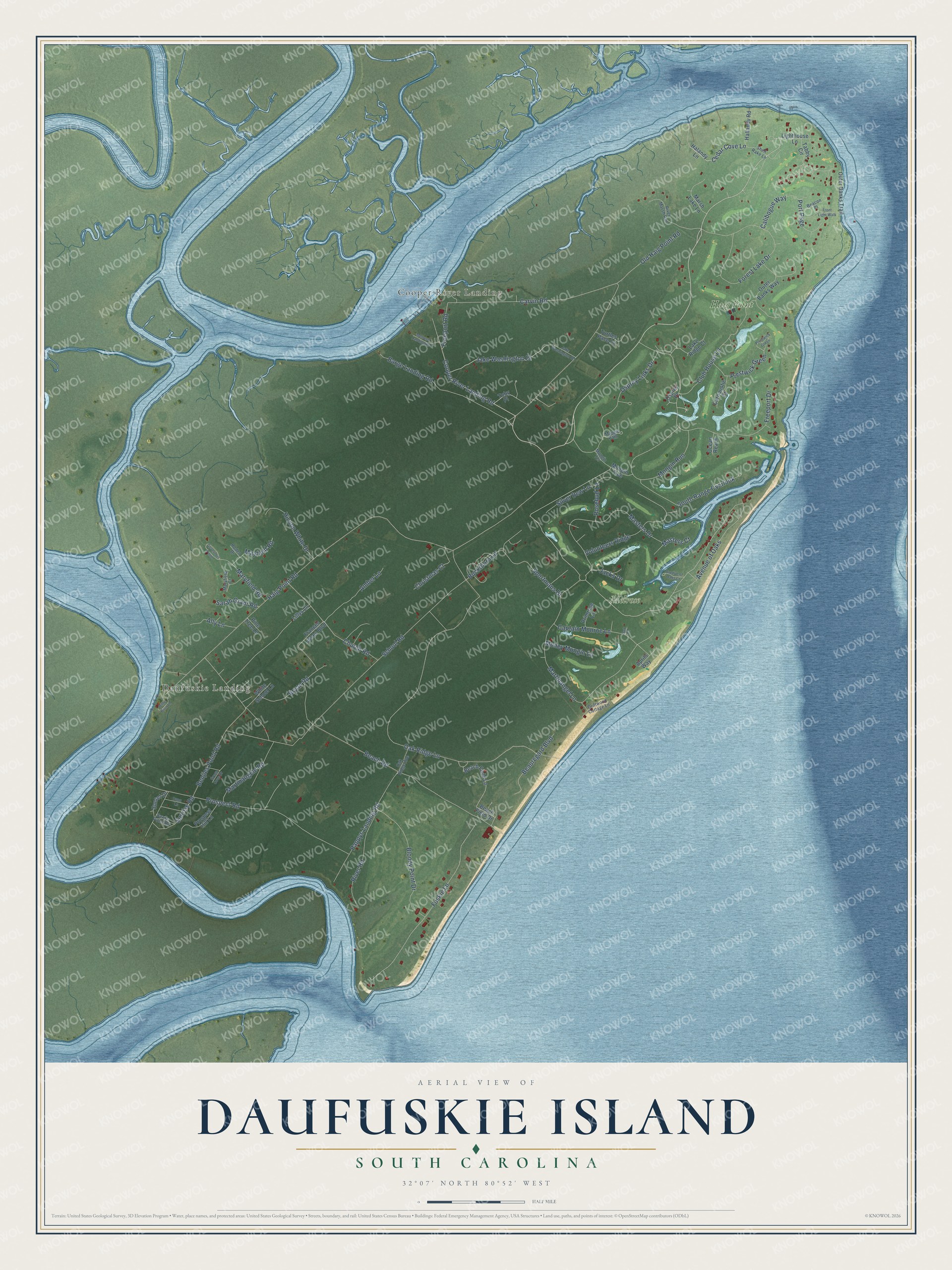
This beautifully detailed map of Daufuskie Island, South Carolina was created in 2026 using aerial imagery combined with modern topographical, census, street and landmark data. It's a modern aerial view of Daufuskie Island in Beaufort County, South Carolina, that combines modern data with a vintage aesthetic. The roads feature printed names, and if you look closely you can find your exact house accurately shown in its correct location.
Explore an aerial view of Daufuskie Island, South Carolina
On this map you'll find Daufuskie Landing, Cooper River Landing, Haig Point, Melrose, Haig Point Road, Cooper River Landing Road, Avenue of Oaks, Freeport Road, Church Road, Cedar Cove Lane, Sunrise Road, Club House Lane, and more. Each red shape is a building, so zoom in on the preview and look for yours.
Every town has a first chapter, and Daufuskie Island is no exception. After the Civil War, freed Gullah families came back to Daufuskie Island. Some lived in the old homes of the enslaved and worked for landowners, while others got land and built homes of their own. From about 1900 until pollution ruined the oyster beds in the 1950s, harvesting and shucking oysters was the island's main living. Daufuskie Island oysters were sold all over the world, and the oyster workers ran their own benevolent and burial society, the Oyster Union Society. That's from the Daufuskie Island History Museum.
Daufuskie Island is a community in Beaufort County. The Census Bureau counted 557 people here in 2020.
Take a closer look at the Daufuskie Island map
Names on this map
These names are printed on this map.
Places: Daufuskie Landing, Cooper River Landing, Haig Point and Melrose.
Streets and roads: Haig Point Road, Cooper River Landing Road, Avenue of Oaks, Freeport Road, Church Road, Cedar Cove Lane, Sunrise Road, Club House Lane, Jake Washington Drive, Oak Ridge Lane, School Road, Old Haig Point Road.
More street names, A to Z
Ally Lane, Amber Lane, Aprils Way, Avenue of Oaks Court, Barge Landing Road, Beach Field Drive, Beach Field Lane, Beach Road, Beacon Place, Beauregard Boulevard, Benjies Point Road, Benjis Point Road, Billie Burn Lane, Bloody Point Drive, Bryan Road, Buckthorn Lane, Calibogue Way, Captain Monroe Lane, Carnoustie Court, Carvin Road, Christmas Court, Driftwood Cottage Lane, Dunn Lane, Forest Lake Drive, Frances Jones Boulevard, Freeport Drive, Front Light Walk, Fuskie Lane, Governors Point, Green Cove Drive, Halandy Lane, Hallandy Road, Hinson White Drive, Jacks Drive, Jake Washington Road, Lake Ridge Court, Lighthouse Lane, Lillys Lane, Maggie Path, Marsh Lake Lane, Martinangele Road, Martinangel Lane, Maryfield Court, Maryfield Road, Masters Court, Masters Drive, Mayfield Road, Melrose Landing Road, Money Mongin Lane, Mongin Run, Mongin Terrace, Mongin Trce, Oak Court, Oak Ridge Avenue, Ocean Reach, Osprey Links Drive, Osprey Place, Outer Banks Trail, Outer Banks Way, Pappys Landing Road, Pine Tree Lane, Port Psge, Prestwick Green, Primrose Lane, Prospect Hill Lane, Prospect Road, River Marsh Run, River Road, Rodeo Drive, Rosebud Lane, Sarah Grant Road, Shell Rake Lane, Silver Dew Lane, South Range Overlook, Sportmans Drive, Sunset Drive, Tabby Circle, Toby Place, Turtles Pace Lane, Volunteers Ridge, White School Lane.
See it on a wall
The Daufuskie Island map as a framed print. Swipe for more.


Created by KNOWOL in 2026. The buildings are small red shapes, the roads carry their printed names, and shaded relief shows the shape of the land. The title panel reads "AERIAL VIEW OF DAUFUSKIE ISLAND, SOUTH CAROLINA" with 32°07' NORTH 80°52' WEST.
Hang it in the hallway, the office or the cabin, or give it to someone who left Daufuskie Island and still calls it home. Open the preview and look for a street you know. See sizes and frames for the Daufuskie Island map.