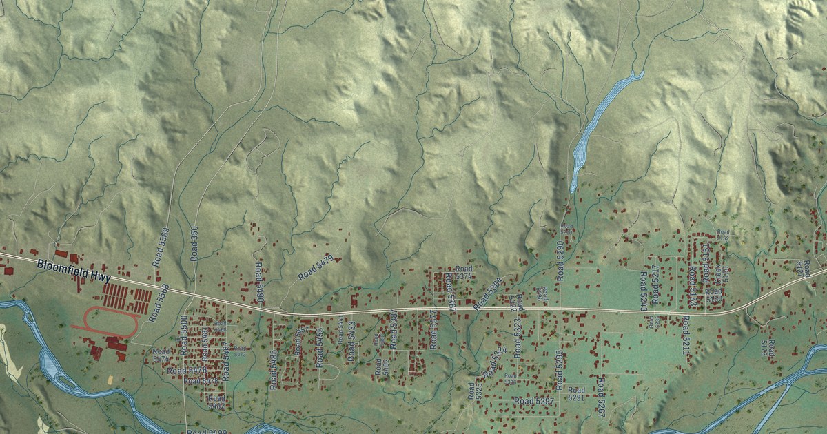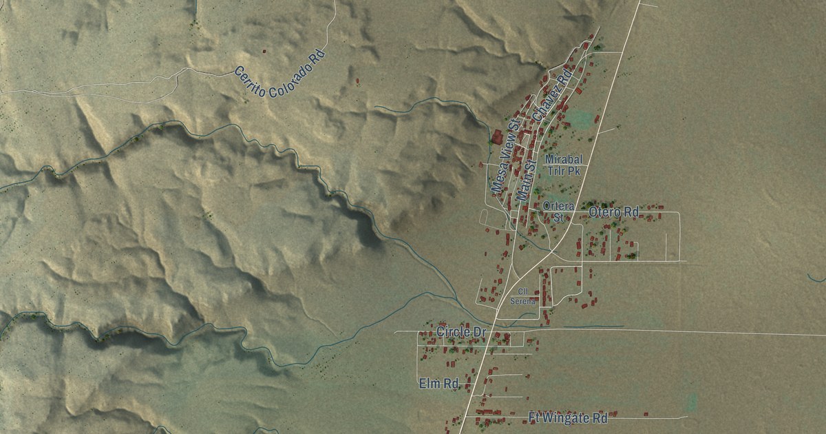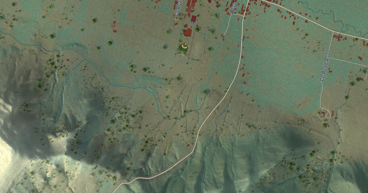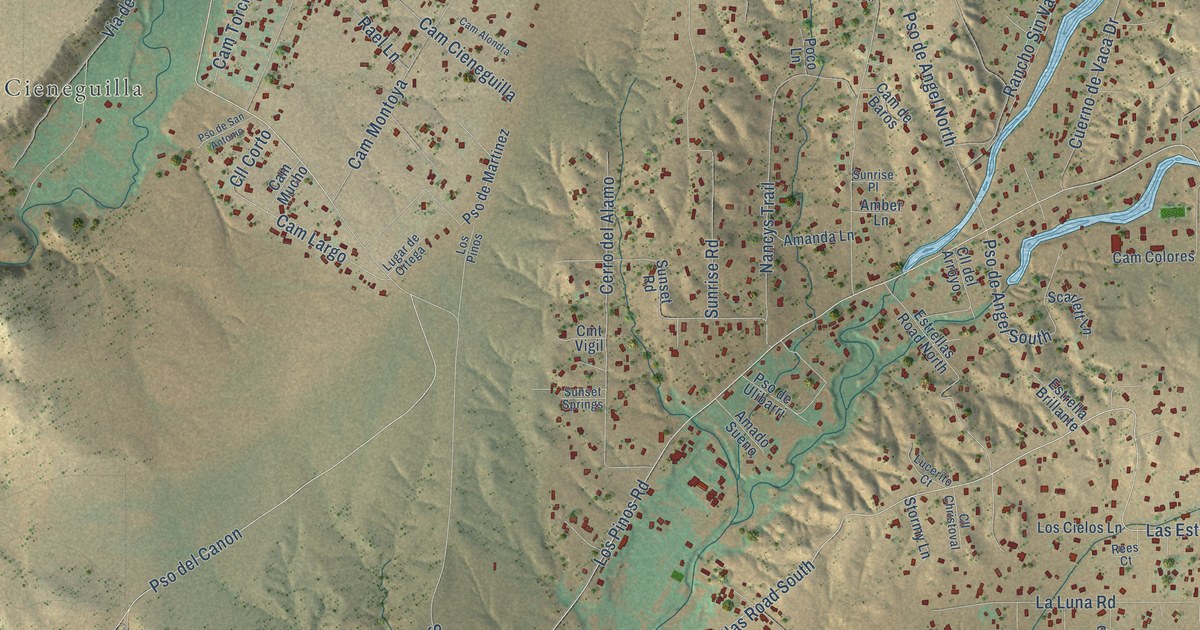
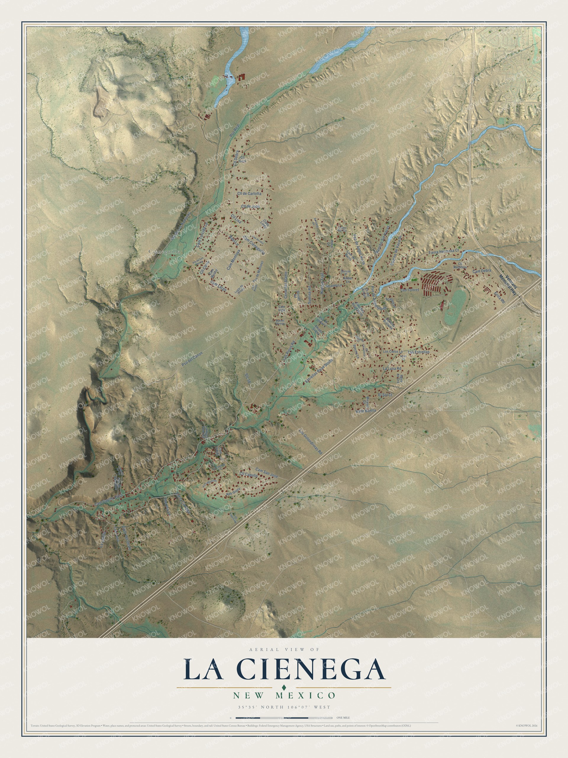
This beautifully detailed map of La Cienega, New Mexico was created in 2026 using aerial imagery combined with modern topographical, census, street and landmark data. It’s a one-of-a-kind view of La Cienega that combines accurate data with a vintage aesthetic. The map shows every building in its true location, many of the roads carry their names, and the shaded topographic relief shows the shape of the land.
Explore an aerial view of La Cienega, New Mexico
On the map you’ll find Cieneguilla, Cll Debra, Cam Largo, Pso Real, Pso del Canon, Cam Capilla Vieja, Cam San Jose, Cam Montoya, and Via de Los Romeros, along with Estrellas Road South, Los Pinos Road, Sunrise Road, and more. If you look closely you can even find your house accurately drawn in its correct location. Zoom in on the preview to look for yours.
Did You Know?
La Cienega means the marsh, a name explained by the many natural springs that feed the community irrigation ditch. A Keres-speaking pueblo here took part in the Pueblo Revolt of 1680, and the name La Cienega first appeared on the Penalosa map of 1686. The landscape writer John Brinckerhoff Jackson, founder of cultural landscape studies in the United States, built his home here in the late 1960s. He paid for the higher education of many village children. That's from the National Register of Historic Places.
Take a closer look at the La Cienega map
Names on this map
These names are printed on this map.
Places: Cieneguilla.
Streets and roads: Estrellas Road South, Cll Debra, Los Pinos Road, Cam Largo, Pso Real, Sunrise Road, Pso del Canon, Cam Capilla Vieja, Cam San Jose, Cam Montoya, Via de Los Romeros, Pso de Angel North.
More street names, A to Z
Agua de Oro, Amado Sueno, Amanda Lane, Amber Lane, Cam Alondra, Cam Cieneguilla, Cam Colores, Cam de Baros, Cam Debra, Cam Loma, Cam Mucho, Cam Torcido Lp, Cam Urban, Cerro del Alamo, Cielo del Oeste, Cielo Lindo, Cll Aventura, Cll Capulin, Cll Christoval, Cll Corto, Cll de Carlotta, Cll de Juan, Cll del Arroyo, Cll Gary, Cll Lisa, Cmt Vigil, Cuerno de Vaca Drive, Desert Sun Circle, El Sol Court, Ent la Cienega, Erica Road, Estrella Brillante, Estrellas Road North, Farmers Pond Road, La Cumbre Lane, La Lomita, La Luna Road, La Mesita del Rey, Las Estrellas, Las Golondrinas Road, Las Lagunitas, Los Cielos Lane, Los Pinos, Lucerito Court, Lugar de Ortega, Mirasol Court, Nancys Trail, Poco Lane, Pso de Angel South, Pso de Martinez, Pso de San Antonio, Pso de Ulibarri, Pso de Valentine, Rael Lane, Rancho Sin Vacas, Rees Court, Rito Guicu, Scarlett Lane, Serenity Lane, Sfc 56, Stormy Lane, Sunrise Place, Sunset Road, Sunset Springs, Theresa Lane, Tierra Hermosa Court, Valle Bonita, Veterans Memorial Highway, Vis Lagunitas.
See it on a wall
The La Cienega map as a framed print. Swipe for more.


This beautifully detailed map of La Cienega makes an attractive addition to your office, library, or den, and it can even be used to teach children the geography and history of the area. It also makes a great gift for someone who left La Cienega and still calls it home. When you’re done exploring, click here to get your copy of the La Cienega map.