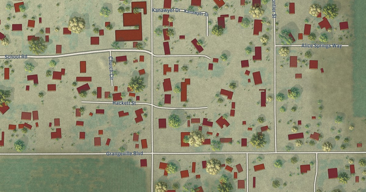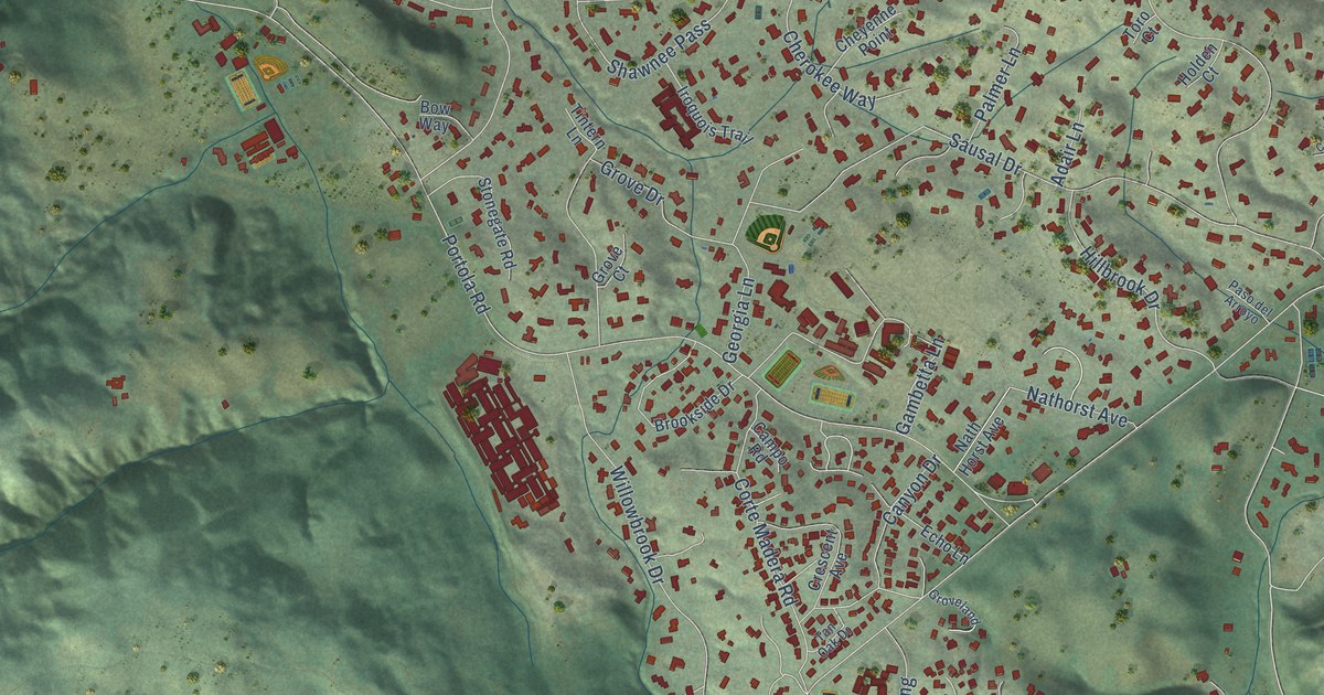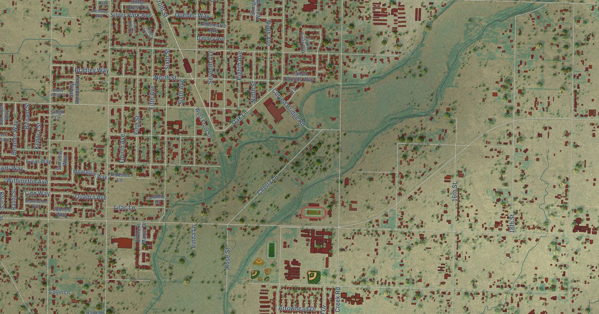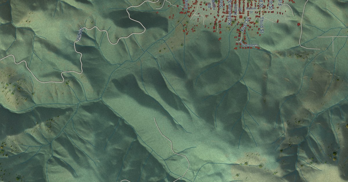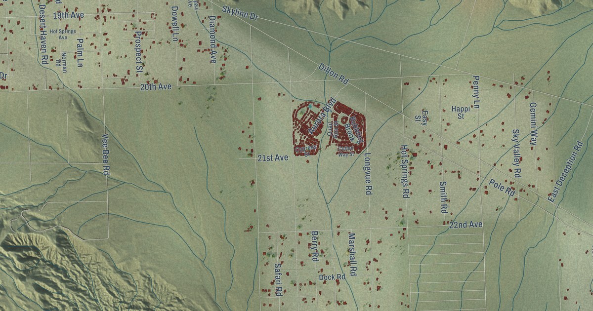
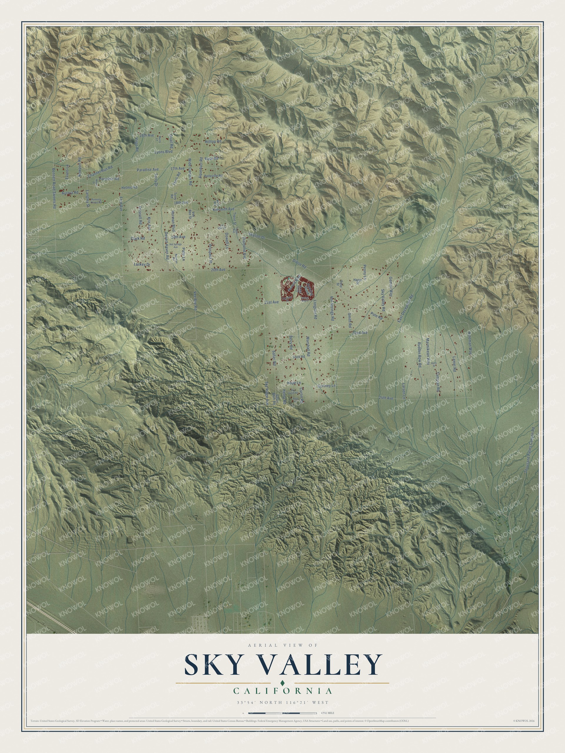
This beautifully detailed map of Sky Valley, California was created in 2026 using aerial imagery combined with modern topographical, census, street and landmark data. It's a modern aerial view of Sky Valley in Riverside County, California, that combines modern data with a vintage aesthetic. The roads feature printed names, and if you look closely you can find your exact house accurately shown in its correct location.
Explore an aerial view of Sky Valley, California
On this map you'll find Cortney Lane, 24th Avenue, Lyons Boulevard, Paradise Avenue, Vee Bee Road, Aurora Road, Dillon Road, 20th Avenue, Skyline Drive, Sky Ridge Avenue, 18th Avenue, Henry Road, and more. Each red shape is a building, so zoom in on the preview and look for yours.
Sky Valley has a story worth telling. Dillon Road in Sky Valley was built in the 1930s as a haul road for the Colorado River Aqueduct, which stretches 242 miles from Parker Dam at the Colorado River to Lake Mathews near Corona. The Sky Valley stretch of the road is signed as a California Scenic Route. That's from the Gribblenation road history blog.
Sky Valley is a community in Riverside County. The Census Bureau counted 2,411 people here in 2020.
Take a closer look at the Sky Valley map
Names on this map
These names are printed on this map.
Streets and roads: Cortney Lane, 24th Avenue, Lyons Boulevard, Paradise Avenue, Vee Bee Road, Aurora Road, Dillon Road, 20th Avenue, Skyline Drive, Sky Ridge Avenue, 18th Avenue, Henry Road.
More street names, A to Z
16th Avenue, 17th Avenue, 19th Avenue, 21st Avenue, 22nd Avenue, Allen Lane, Aqueduct Road, Aurora Boulevard, Bel Air Way, Belleville Road, Bennett Road Sweets Road, Berry Road, Bubbling Brook, Burry Lane, Channel Run Road, Clark Road, Cotton Way Street, Curtin Road, Cypress Street, Desert Haven Road, Diamond Avenue, Dock Road, Dowell Lane, Driscoll Road, Dry Gulch Road, East Deception Road, Easy Street, Evans Lane, Ford Avenue, Gemini Way, Happi Street, Helms Road, Hilltop Road, Holeman Way, Hope Lane, Hot Springs Avenue, Hot Springs Road, Kelly Street, Kinsmith Avenue, Kris Avenue, Lamel Road, Langley Street, Larsen Lane, Laskey Drive, Lin Mar Court, Longvue Road, Marmikean Way, Marshall Road, Morley Drive, Newport Road, Norman Boulevard, Norman Road, Palm Lane, Paradise Road, Penny Lane, Pole Road, Prospect Street, Quail Road, Quail Run Street, Rask Road, Rudder Row Road, Running Horse Road, Safari Blum Road, Safari Road, Sky Valley Road, Smith Road, Tamyran Road, Terrli Road, Terry Drive, Terry Road, Thousand Palms Canyon Road, Topaz Avenue, Topaz Street, Vee Bee Street, Virgo Road, Wide Canyon Road.
See it on a wall
The Sky Valley map as a framed print. Swipe for more.


Created by KNOWOL in 2026. The buildings are small red shapes, the roads carry their printed names, and shaded relief shows the shape of the land. The title panel reads "AERIAL VIEW OF SKY VALLEY, CALIFORNIA" with 33°54' NORTH 116°21' WEST.
It looks right in a kitchen, an office or a den, and it's a gift for anyone who grew up in Sky Valley or moved away. Open the preview and find your street. See sizes and frames for the Sky Valley map.