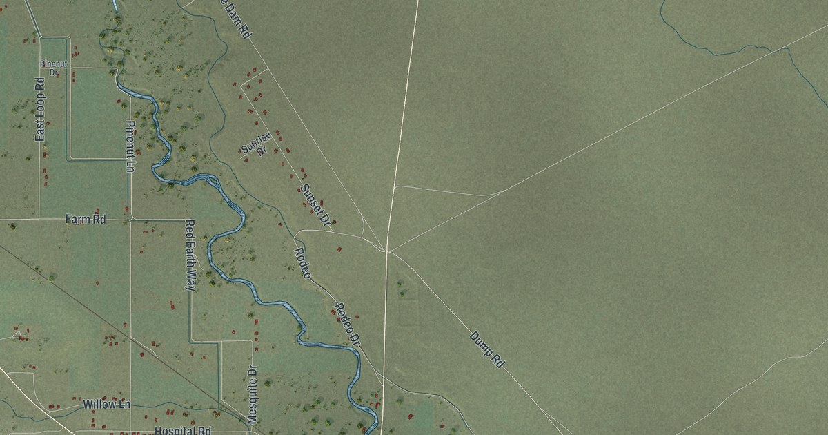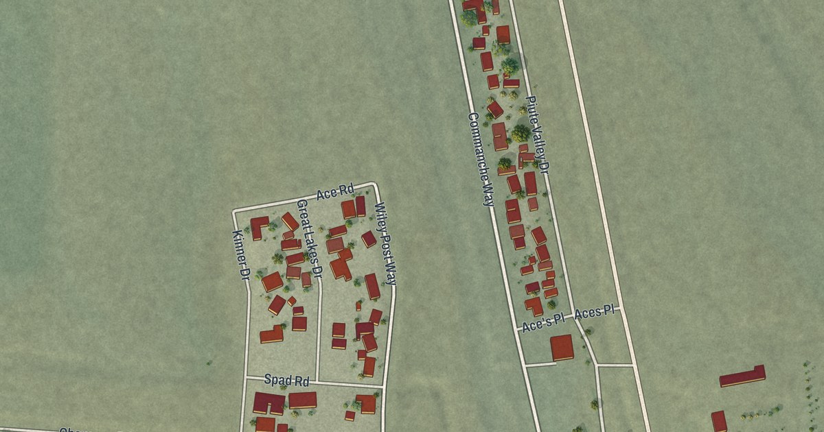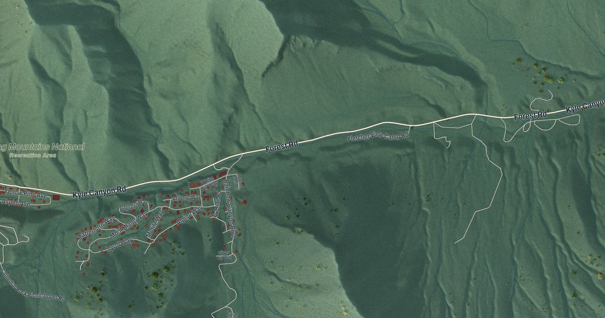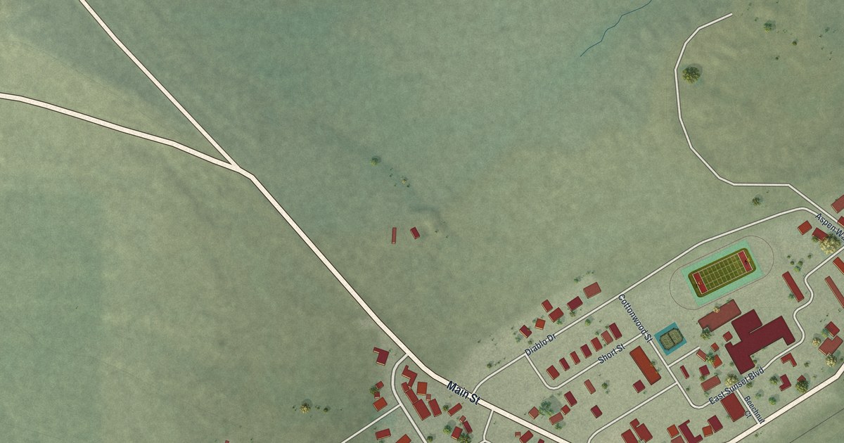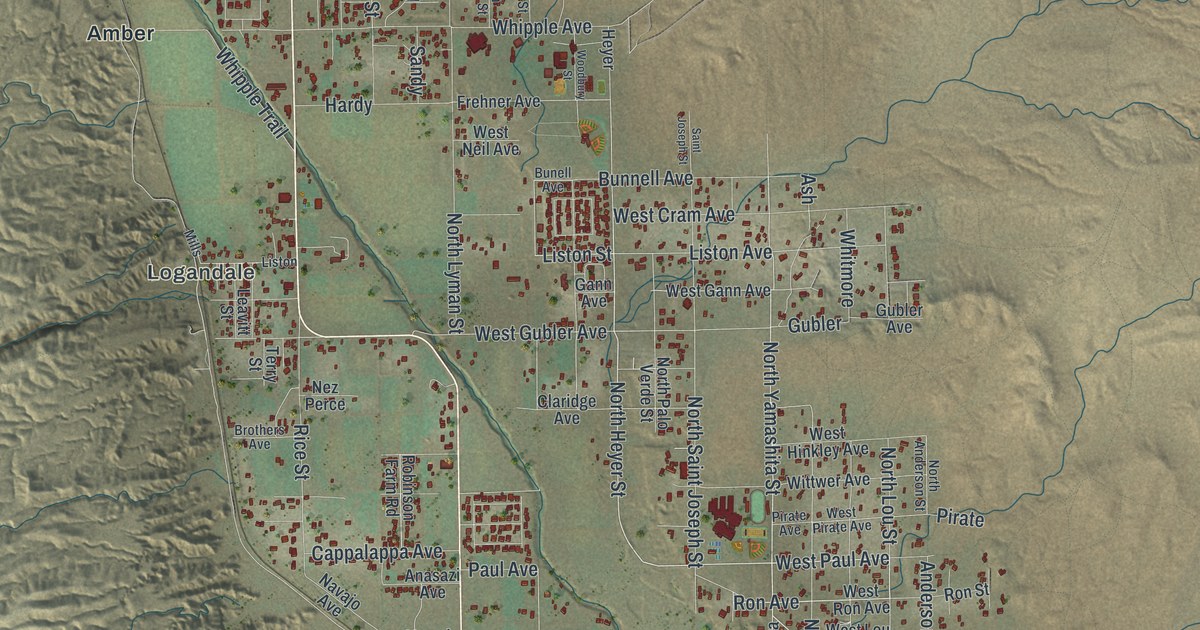
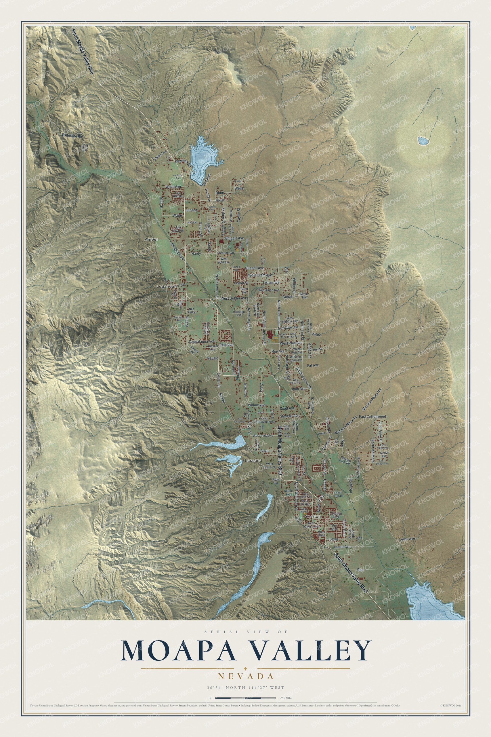
Moapa Valley is a community of 6,289 in Clark County, Nevada. This beautifully detailed map of Moapa Valley, Nevada was created in 2026 using aerial imagery combined with modern topographical, census, street and landmark data. It's a modern aerial view of Moapa Valley in Clark County, Nevada, that combines modern data with a vintage aesthetic. The roads feature printed names, and if you look closely you can find your exact house accurately shown in its correct location.
Explore an aerial view of Moapa Valley, Nevada
On this map you'll find Overton, Glassand, Logandale, Amber, North Moapa Valley Boulevard, South Moapa Valley Boulevard, Lou Street, West Paul Avenue, Lewis, Paul Avenue, North Heyer Street, Jensen, and more. Each red shape is a building, so zoom in on the preview and look for yours.
Here is a piece of Moapa Valley history. In 1924 two brothers from Overton, Fay and John Perkins, told Nevada Governor James Scrugham about the area's prehistoric ruins. An archaeologist named the sites Pueblo Grande de Nevada, and the popular press called them the Lost City. Civilian Conservation Corps workers built the museum in Overton in 1935 to show what was found, because most of the sites were flooded when the Colorado River was dammed to form Lake Mead. That's from the Lost City Museum.
Take a closer look at the Moapa Valley map
Names on this map
These names are printed on this map.
Places: Overton, Glassand, Logandale, Amber and Overton Park.
Streets and roads: North Moapa Valley Boulevard, South Moapa Valley Boulevard, Lou Street, West Paul Avenue, Lewis, Paul Avenue, North Heyer Street, Jensen, Cooper, North Airport Road, Ron Avenue, North Yamashita Street.
More street names, A to Z
Adelle Avenue, Airport Road, Anasazi Avenue, Anderson, Anita, Arrow Avenue, Ash, Ash Street, Aw Farm Avenue, Bowman, Bowman Road, Brothers Avenue, Bunell Avenue, Bunnell Avenue, Canal Avenue, Candie Street, Cappalappa Avenue, Carol, Cave, Claridge Avenue, Cooper Lane, Cooper Street, Crosby, Deer, Dunn, East Bryner Avenue, East Cave Avenue, East Cottonwood, East Ingram, Frehner Avenue, Gann Avenue, Glen, Gubler, Gubler Avenue, Hardy, Heyer, Heyer Street, Horny Toad, Jensen Avenue, Jim Haworth, Joan Avenue, Lamar Avenue, Leavitt, Leavitt Street, Lee Avenue, Lewis Avenue, Lewis Street, Lillian Condie Road, Liston, Liston Avenue, Liston Street, Lou Adams, Lyman, Lyman Street, Marshall, Mateuse, Mateuse Street, Metcalf Drive, Mills, Mills Street, Morman Mesa Road, Mormon Mesa Road, Navajo, Navajo Avenue, Nez Perce, North Andersen Street, North Anderson Street, North Ash Street, North Ishimoto, North Jones, North Lou Street, North Lyman Street, North Matuse Street, North Palo Verde, North Palo Verde Street, North Saddle Street, North Saint Joseph Street, North Skyline Street, North Spr, North Whitmore, North Whitmore Street, Paiute Street, Palo Verde, Pat Avenue, Pearl, Perkins Farm Road, Pinwheel, Pirate, Pirate Avenue, Rice Street, River Heights Lane, Robinson Farm Road, Ron Street, Ryan Avenue, Saint Joseph Street, Sandy, Sandy Street, Scott Avenue, Skyline Street, South Deer, South Spur Street, South Whitmore, Stevens Avenue, Swapp, Tami Street, Taylor Street, Terry Street, Tres Lobos, Victory Joy, Vista View Street, Waite, Waterline Road, Wells, Wells Avenue, West Alma, West Anita, West Anita Avenue, West Bader, West Bryner Street, West Cottonwood, West Cottonwood Avenue, West Cox Avenue, West Cram Avenue, West Gann Avenue, West Gubler Avenue, West Hinkley Avenue, West Ingram Avenue, West Lou Jean Avenue, West Neil Avenue, West Perkins Avenue, West Pirate Avenue, West Ron Avenue, West Ross Avenue, West Thomas, Whipple Avenue, Whipple Trail, Whitmore, Willow Avenue, Wittwer Avenue, Woodbury Street, Yamashita, Zubia.
See it on a wall
The Moapa Valley map as a framed print. Swipe for more.


Created by KNOWOL in 2026. The buildings are small red shapes, the roads carry their printed names, and shaded relief shows the shape of the land. The title panel reads "AERIAL VIEW OF MOAPA VALLEY, NEVADA" with 36°36' NORTH 114°27' WEST.
It suits a den, a classroom or a front hall, and it makes a gift for anyone with Moapa Valley roots. Open the preview and find the block you know. See sizes and frames for the Moapa Valley map.