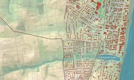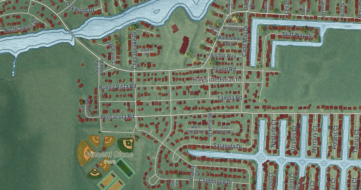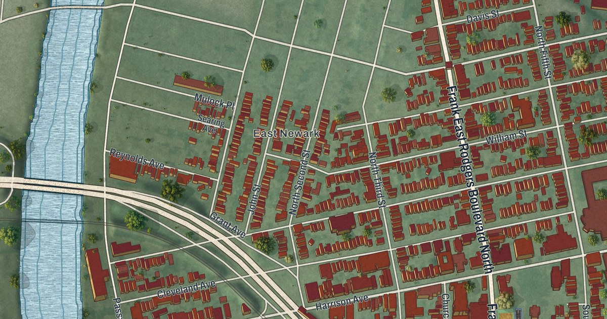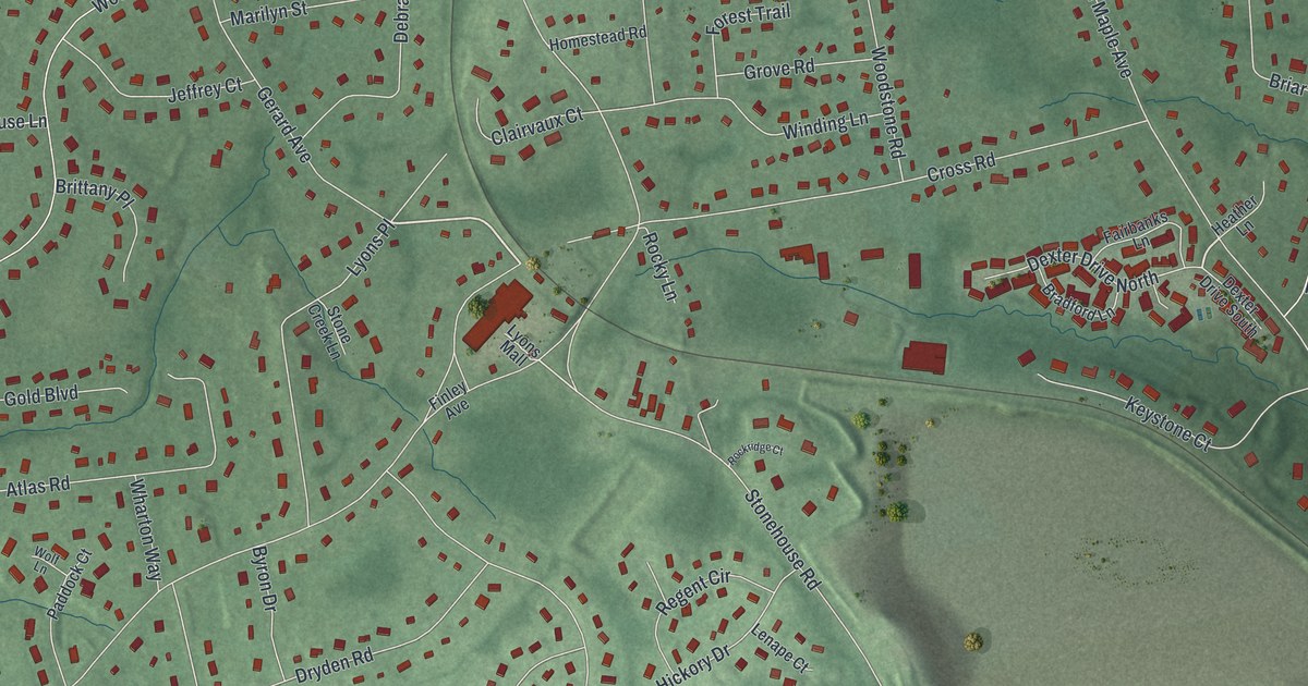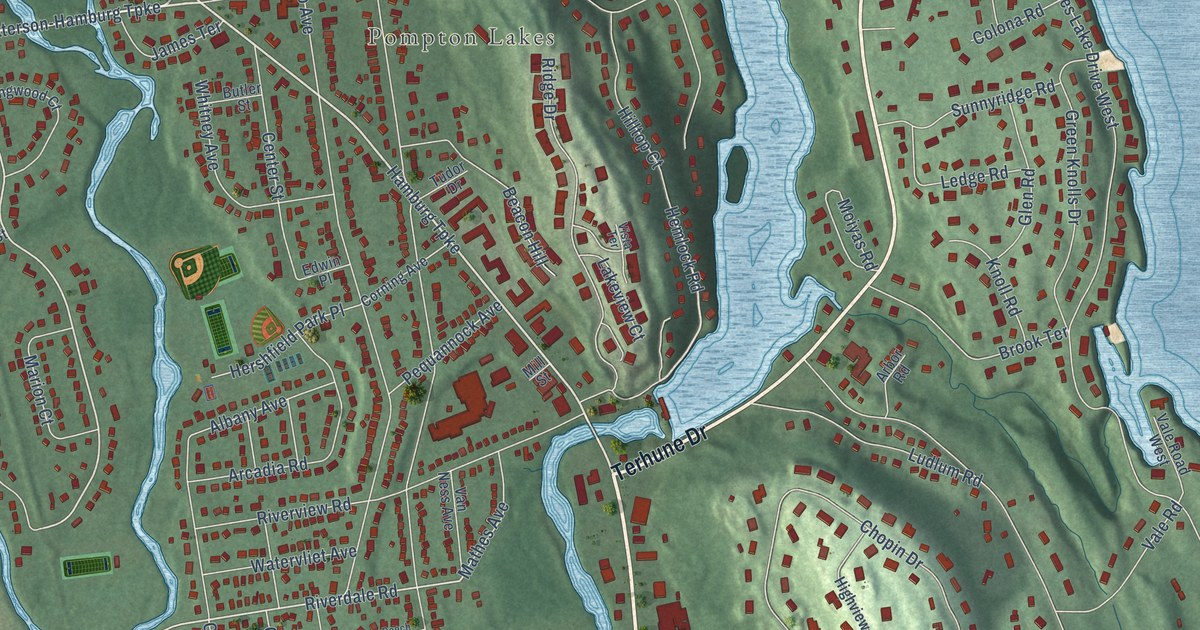
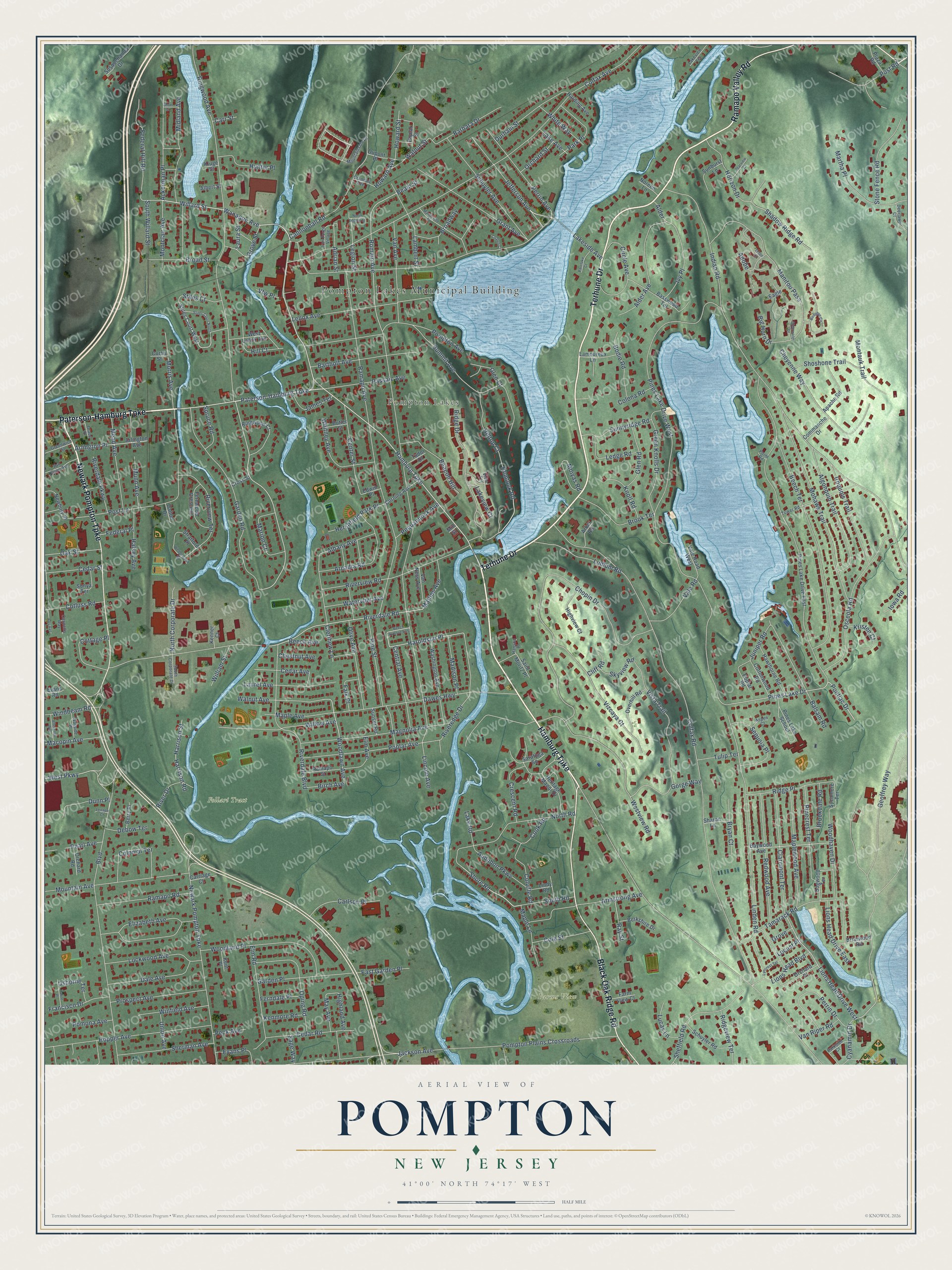
This beautifully detailed map of Pompton, New Jersey was created in 2026 using aerial imagery combined with modern topographical, census, street and landmark data. It’s a one-of-a-kind view of Pompton that combines accurate data with a vintage aesthetic. The map shows every building in its true location, many of the roads carry their names, and the shaded topographic relief shows the shape of the land.
Explore an aerial view of Pompton, New Jersey
On the map you’ll find Pompton Lakes Municipal Building, Pompton Lakes, Farms View, and Follari Tract, along with Hamburg Turnpike, Terhune Drive, Black Oak Ridge Road, Newark Pompton Turnpike, Ramapo Valley Road, Paterson-Hamburg Turnpike, Wanaque Avenue, Willard Street, and more. If you look closely you can even find your house accurately drawn in its correct location. Zoom in on the preview to look for yours.
Did You Know?
From Internet Archive: "The Vreeland family originated in Holland, and was founded in America by three brothers, one of whom located at Pompton Plains, ene at Newark, and the third, Michael, on Staten Island."
Pompton is a community in Passaic County.
Take a closer look at the Pompton map
Names on this map
These names are printed on this map.
Places: Pompton Lakes Municipal Building, Pompton Lakes, Farms View and Follari Tract.
Streets and roads: Hamburg Turnpike, Terhune Drive, Black Oak Ridge Road, Newark Pompton Turnpike, Ramapo Valley Road, Paterson-Hamburg Turnpike, Wanaque Avenue, Willard Street, Jefferson Avenue, Shore Road, Hemlock Road, Ringwood Avenue.
More street names, A to Z
Ackerman Place, Adobe, Adrian Street, Afterglow Way, Albany Avenue, Albert Street, Alder, Alder Avenue, Algonquin Trail, Apache Road, Arbor Road, Arcadia Road, Arlington Avenue, Arlington Place, Armstrong Avenue, Aspen Court, Audubon Parkway, Balsam Road, Barbara Drive, Bartholf Avenue, Basswood Terrace, Baywood Avenue, Beacon Hill, Beam Street, Beech Avenue, Beech Avenue East, Beech Terrace, Berkshire Drive, Berry Place, Big Horn Drive, Birch Avenue, Birdseye Circle, Bodie Road, Boulevard, Briarwood Road, Broad Street, Broadway, Brookdale Road, Brook Terrace, Bryan Court, Butler Street, Cannella Way, Cannonball Road, Carlson Place, Carriage Court, Carr Street, Cedar Avenue, Cedar Road, Cedar Street, Center Street, Central Avenue, Chalen Court, Chestnut Avenue, Cheyenne Way, Chopin Drive, Circle Avenue, Claremont Terrace, Clearwater Drive, Clerihew Lane, Cliff Road, Cole Street, Colfax Avenue, Colfax Road, Colona Road, Colonial Terrace, Colville Road, Commanche Drive, Cook Road, Corning Avenue, Cotluss Road, Cottage Place, Cottonwood Road, Crandall Avenue, Crescent Road, Cross Street, Curtis Street, Cyanamid Drive, Dale Avenue, Dalton Drive, Dawes Highway, Debow Terrace, Deerlawn Court, Dogwood Terrace, Drace Place, Dunn Place, Dupont Place, Durham Street, Eagle, East Garden Place, Edwin Place, Elizabeth Avenue, Elm Avenue, Elm Road, Evans Place, Evans Road, Falk Place, Farm View Court, Federal Hill Road, Federal Place, Ferndale Place, Fernwood Crescent, Francisco Drive, Garden Place, Garden Road, Geoffrey Way, Glen Court, Glen Road, Gorge Way, Grant Avenue, Green Knolls Drive, Greenwich Street, Grove, Grove Street, Halsey Avenue, Hanson Place, Harding Avenue, Haroldson Place, Harrison Road, Harrison Street, Hawthorne Road, Heritage Manor Drive, Hershfield Park Place, Highland Avenue, Highview Court, Hill Court, Hilltop Court, Hopper Avenue, Horizon Drive, Howard Avenue, Howard Street, Hunter Place, Indian Road, Iowa Road, Iron Forge Village, Iroquois Trail, Ivy Place, Jackson Avenue, James Terrace, Juniper Road, Kenmore Road, Kenner Court, Kent Place, Kluge Street, Knoll Road, Kristen Court, Lake Avenue, Lake Road, Lakeside Avenue, Lakeview Court, Lakeview Terrace, Lambert Street, Lamoureux Lane, Laura Street, Laurel Avenue, Ledge Road, Legion Street, Lenape Court, Lenox Avenue, Lincoln Avenue, Linden Road, Lindy Road, Lions Head Boulevard, Lions Head Drive East, Lions Head Drive West, Lockwood Avenue, Locust Place, Loy Avenue, Lucas Lane, Ludlum Road, Lyncrest Terrace, Macopin Avenue, Madison Place, Magnolia Avenue, Mandeville Street, Manitou Pass, Maple Avenue, Maple Lane, Maplewood Avenue, Marion Court, Martha Place, Mathes Avenue, May Avenue, Mead Avenue, Midland Avenue, Mill Street, Mohawk Trail, Moiyas Road, Montauk Trail, Montclair Avenue, Morris Avenue, Mountain Avenue, Mountainside Drive, Munn Avenue, Newbury Place, Noreen Lane, North Corporate Drive, North Legion Street, North Road, Oak Street, Olive Avenue, Oping Road, Orchard Place, Orchard Road, Orchard Street, Osborne Terrace, Osceola Road, Overhill Road, Parclake Court, Park Place, Parkside Court, Passaic Avenue, Patire Place, Pearl Avenue, Peck Avenue, Pequannock Avenue, Perrin Avenue, Perrin Drive, Pinecrest Terrace, Pines Lake Drive, Pines Lake Drive East, Pines Lake Drive West, Pines Lake School, Pine Street, Plaza Road, Point Road, Pomona Avenue, Pompton Avenue, Pompton Plains Crossroads, Pontiac Drive, Poplar Avenue, Poplar Road, Poplar Street, Post Lane, Post Road, Prospect Avenue, Ramapo Avenue, Ramapo Road, Ramapo Street, Ray Street, Redwood Avenue, Ridge Drive, Ridge Place, Ridgeview Terrace, Ringwood Court, Riverdale Boulevard, Riverdale Parkway, Riverdale Road, River Drive, Riveredge Drive, Riverview Road, Riverview Terrace, Romain Avenue, Sage Way, Saint Moritz Place, Saratoga Square, Schuyler Avenue, Schuyler Road, Sequoia Place, Shadow Ridge Road, Sharon Lane, Sheffield Road, Sherman Avenue, Short Street, Shoshone Trail, Skyview Road, Sonya Terrace, South Corporate Drive, South Road, South Willard Street, Spruce Road, Starview Court, Stiles Court, Stiles Court North, Stiles Court West, Stone Fence Road, Stratford Place, Summit Avenue, Sunburst Lane, Sunnyridge Road, Sunset Road, Susquehanna Drive, Sycamore Terrace, Tamarack Road, Teton Circle, Tower Road, Tudor Drive, Tulip Terrace, Union Avenue, Vale Road, Vale Road West, Van Avenue, Van Duyne Avenue, Van Ness Avenue, Van Riper Road, Vfw Place, Vista Terrace, Vista Trail, Vizcaya Court, Walnut Avenue, Walnut Street, Washington Avenue, Watervliet Avenue, Wayside Place, Wedgewood Road, West Lenox Avenue, West Parkway, Westview Road, White Way, Whitney Avenue, William Street, Willow Avenue, Windbeam Road, Winfield Avenue, Woodhaven Drive, Woodland Place, Woodlawn Avenue.
See it on a wall
The Pompton map as a framed print. Swipe for more.


This beautifully detailed map of Pompton makes an attractive addition to your office, library, or den, and it can even be used to teach children the geography and history of the area. It also makes a great gift for anyone who grew up in Pompton or moved away. When you’re done exploring, click here to get your copy of the Pompton map.