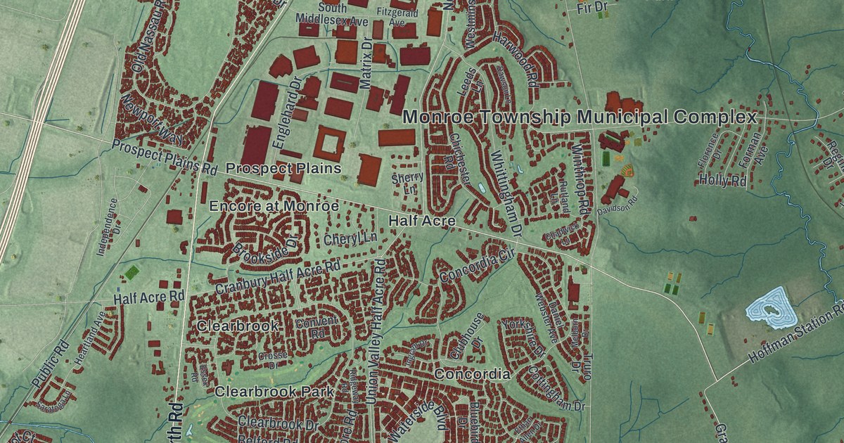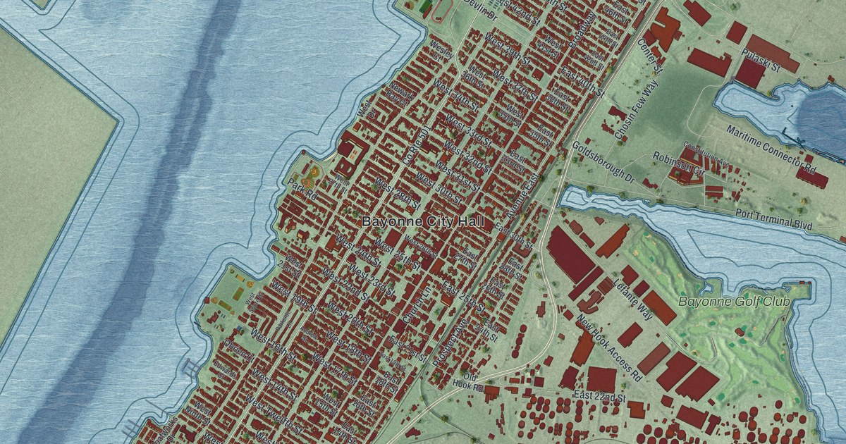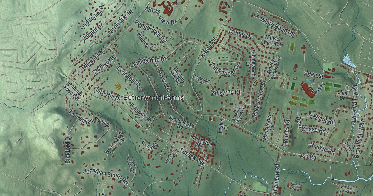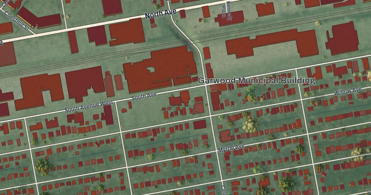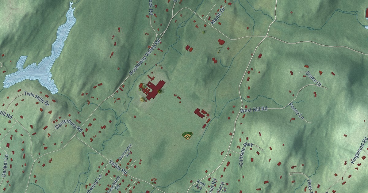
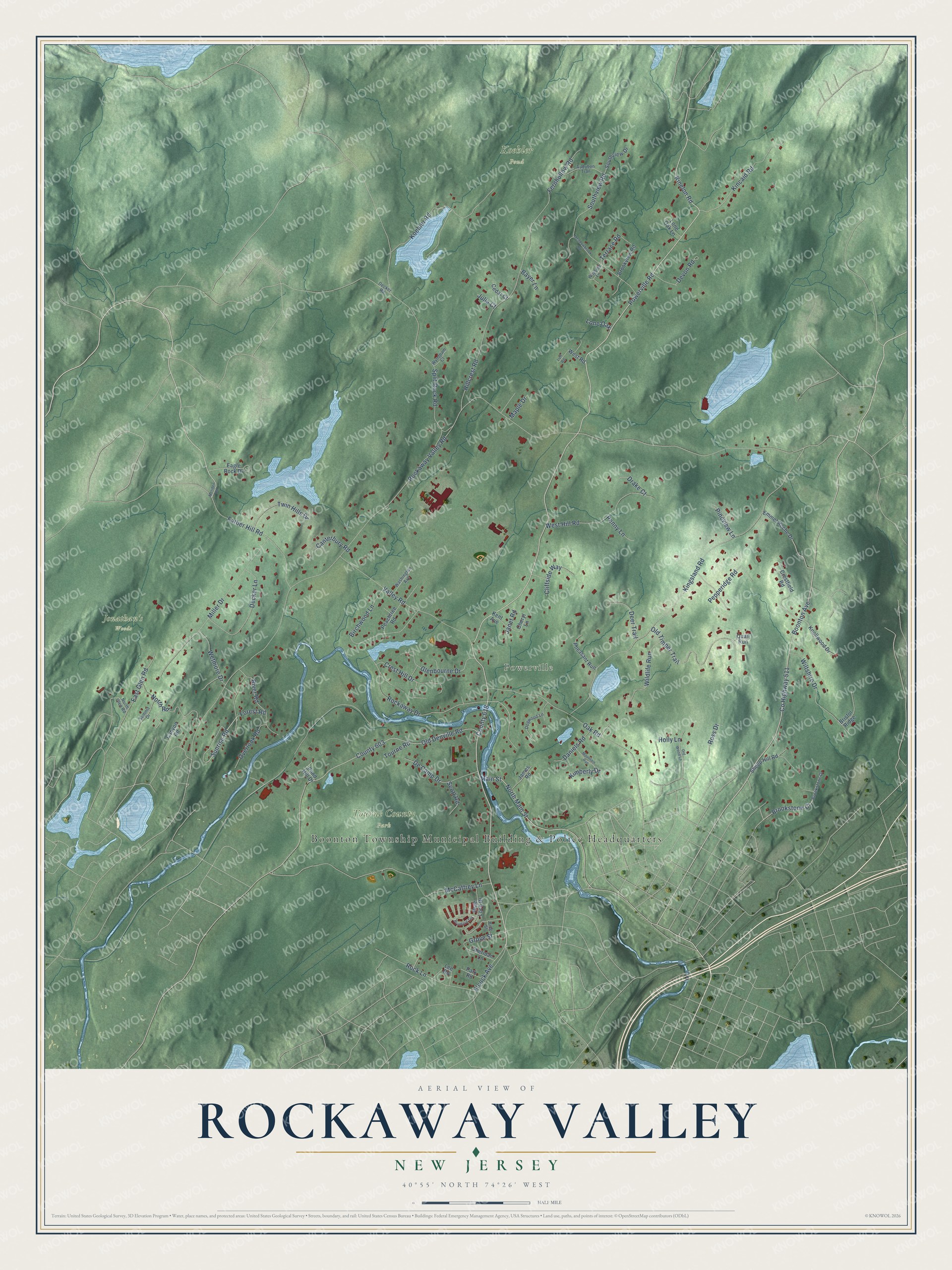
This beautifully detailed map of Rockaway Valley, New Jersey was created in 2026 using aerial imagery combined with modern topographical, census, street and landmark data. It’s a one-of-a-kind view of Rockaway Valley that combines accurate data with a vintage aesthetic. The map shows every building in its true location, many of the roads carry their names, and the shaded topographic relief shows the shape of the land.
Explore an aerial view of Rockaway Valley, New Jersey
On the map you’ll find Boonton Township Municipal Building & Police Headquarters, Powerville, Jonathan’s Woods, Koehler Pond, Tourne County Park, and County 618, along with Powerville Road, County Highway 511, Valley Road, Sunrise Road, Main Street, Terrace Road, and more. If you look closely you can even find your house accurately drawn in its correct location. Zoom in on the preview to look for yours.
Did You Know?
From Internet Archive: "At Rockaway Valley a school has been taught since schools were first established in the township, and it is among the oldest in the recollection of the early settlers."
Rockaway Valley is a community in Morris County.
Take a closer look at the Rockaway Valley map
Names on this map
These names are printed on this map.
Places: Boonton Township Municipal Building & Police Headquarters, Powerville, Jonathan's Woods, Koehler Pond and Tourne County Park.
Streets and roads: Powerville Road, County Highway 511, Valley Road, Sunrise Road, Main Street, Terrace Road, County 618, Rockaway Valley Road, Kingsland Road, Hillcrest Road, County 603, Old Denville Road.
More street names, A to Z
Audubon Trail, Bayer Lane, Birchwood Lane, Boonton Avenue, Bradford Terrace, Brae Loch Drive, Bristol Ridge, Brookstone Court, Brookstone Drive, Brookview Road, Canterbury Road, Canyon Road, Cedar Court, Cheryl Lane, Cliffside Way, Crestfield Road, Crest Hill Drive, Daniels Road, De Camp Drive, Decker Lane, Decker Road, Deer Trail, Devon Road, Dogwood Lane, Drake Court, Eagle Rock Drive, East Glen Road, Elcock Avenue, Emmet Roche Drive, Farber Hill Road, Fernhollow Road, Forest Road, Glenbourne Drive, Grove Street, Holly Lane, James Road, Janet Road, Julia Court, Kent Avenue, Kimberly Drive, Kincaid Road, Kinelon Road, King Street, Knollwood Drive, Koehler Road, Lee Road, Lone Oak, Lone Oak Lane, Luff Road, Maple Drive, McCaffrey Lane, Meadowbrook Road, Meriden Road, Miller Drive, Mountain Run, North Glen Road, North Main Street, North Road, Oak Road, Old Timber Trail, Old Wood Lane, Overlook Road, Park Road, Peachtree Road, Penny Lane, Pepperidge Road, Pheasant Run, Pineview Lane, Pond Hill Drive, Quail Run, River Road, Rockaway Drive, Rock Lane, Ross Drive, Scott Road, Sheep Hill Road, Sheridan Lane, Southview Drive, Southview Road, Split Rock Road, Summit Drive, Tourne Road, Twin Hills Drive, Washington Avenue, Wayside Lane, West Hill Road, West Road, Wetmore Drive, Wildlife Run, Wiltshire Drive, Wyndham Court.
See it on a wall
The Rockaway Valley map as a framed print. Swipe for more.


This beautifully detailed map of Rockaway Valley makes an attractive addition to your office, library, or den, and it can even be used to teach children the geography and history of the area. It also makes a great gift for someone who left Rockaway Valley and still calls it home. When you’re done exploring, click here to get your copy of the Rockaway Valley map.