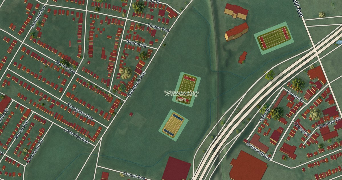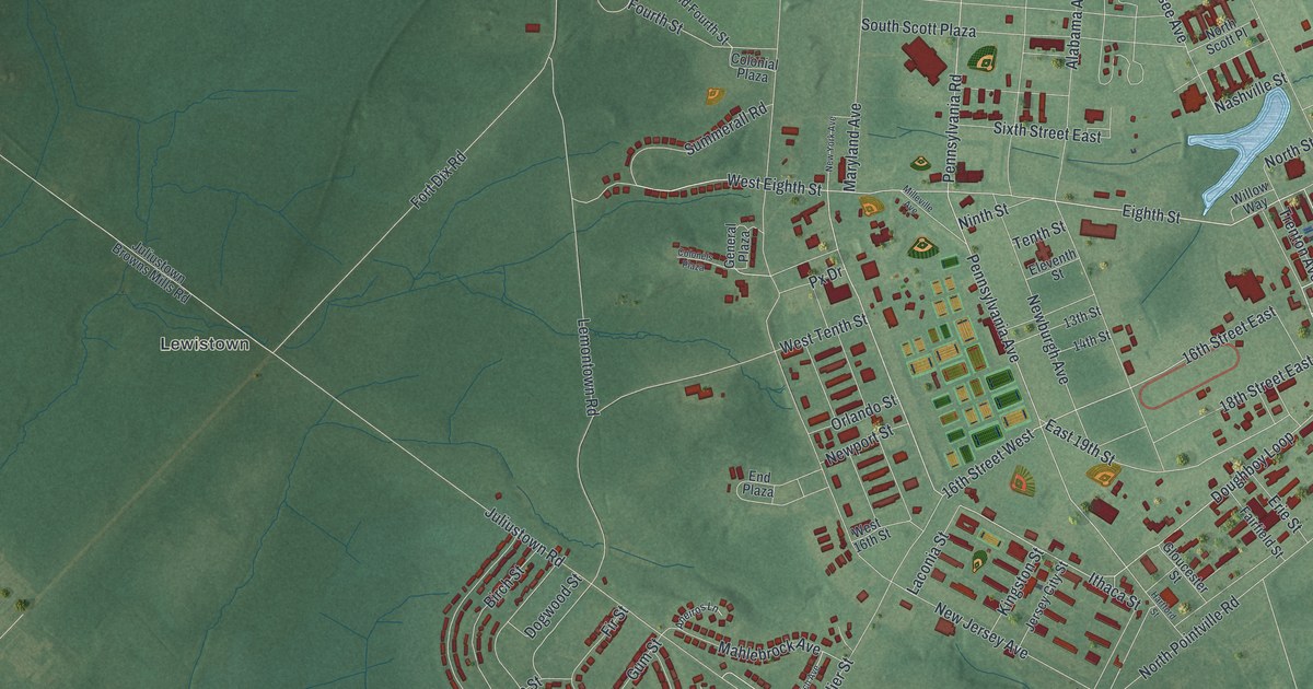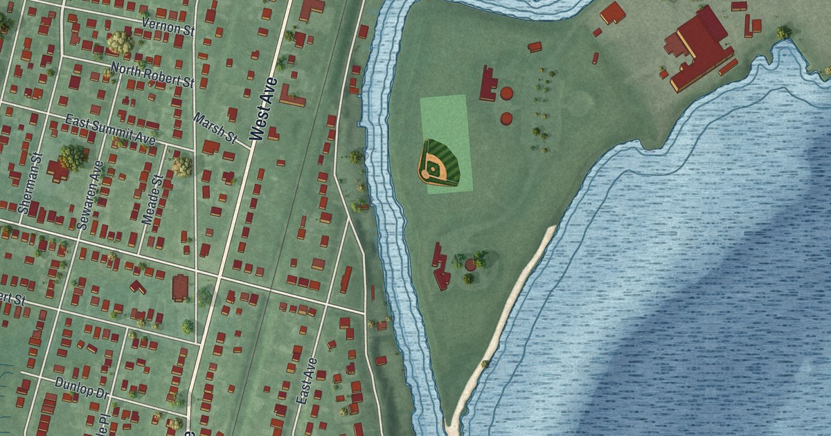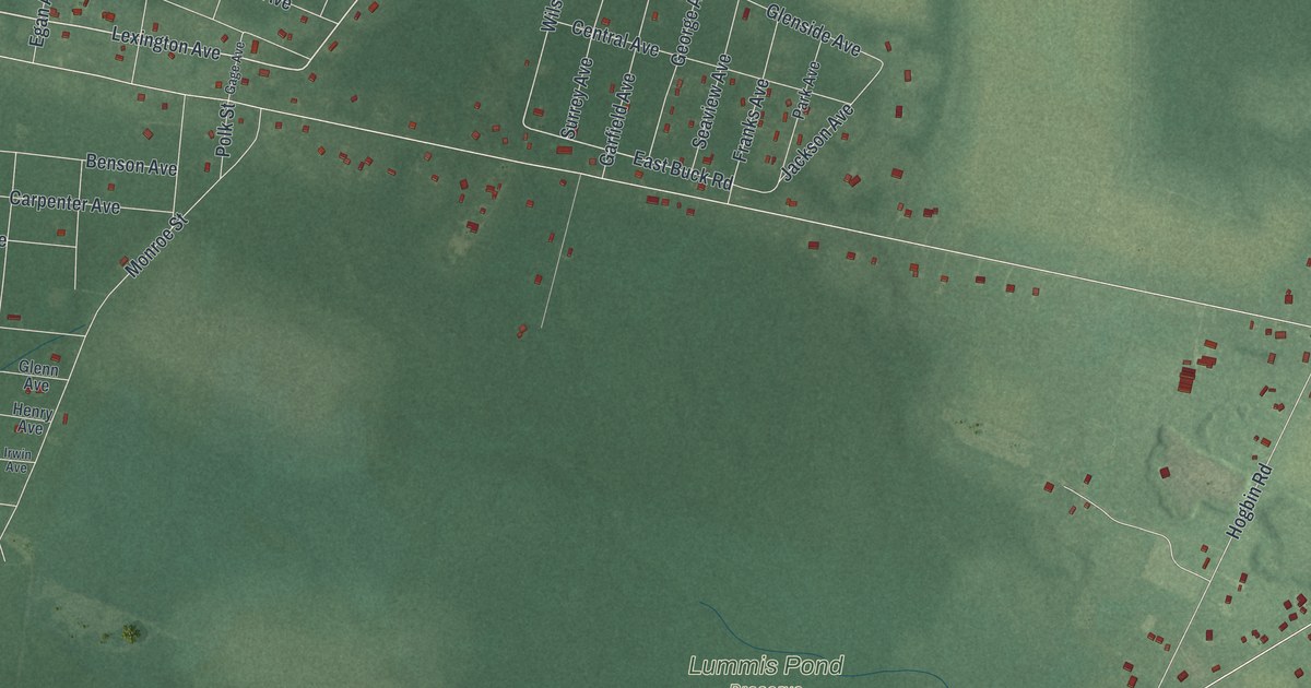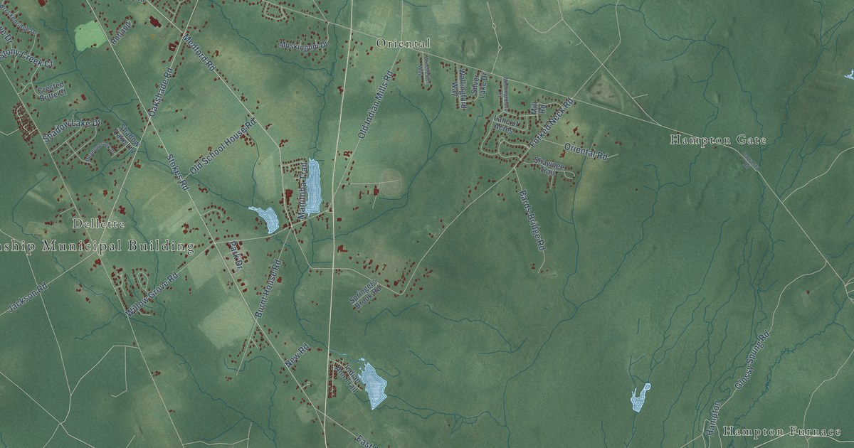
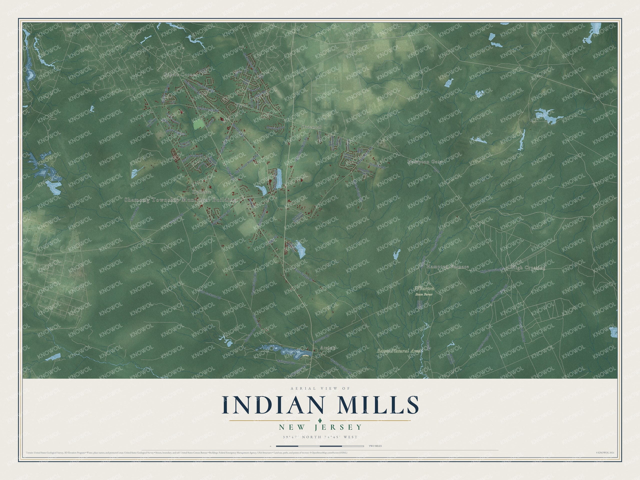
This beautifully detailed map of Indian Mills, New Jersey was created in 2026 using aerial imagery combined with modern topographical, census, street and landmark data. It’s a one-of-a-kind view of Indian Mills that combines accurate data with a vintage aesthetic. The map shows every building in its true location, many of the roads carry their names, and the shaded topographic relief shows the shape of the land.
Explore an aerial view of Indian Mills, New Jersey
On the map you’ll find Shamong Township Municipal Building, High Crossing, Batsto Natural Area, Wharton State Forest, Oriental, Pipers Corner, Hampton Gate, Atsion, Flyat, Dellette, and Hampton Furnace, along with High Crossing Road, and more. If you look closely you can even find your house accurately drawn in its correct location. Zoom in on the preview to look for yours.
Did You Know?
From Internet Archive: "John Brown settled at Indian Mills about 1800, and purchased a large tract of land and engaged in tilling the soil, which occupation he followed for a number of years."
Indian Mills is a community in Burlington County.
Take a closer look at the Indian Mills map
Names on this map
These names are printed on this map.
Places: Shamong Township Municipal Building, High Crossing, Batsto Natural Area, Wharton State Forest, Oriental, Pipers Corner, Hampton Gate, Atsion, Flyat, Dellette and Hampton Furnace.
Streets and roads: High Crossing Road, Hay Road, Tuckerton Road, East Stokes Road, Jackson Road, Atsion Road, Stokes Road, Oakshade Road, Indian Mills Road, Medford Road, Forked Neck Road, Hampton Road.
More street names, A to Z
Bainbridge Court, Bards Bridge Road, Breckenridge Drive, Bunker Hill Road, Burnt House Road, Burr Trail, Carranza Road, Concord Drive, Crested Butte Court, Devious Mount Road, Ephriam Road, Flyatt Road, Glossy Spung Road, Grassy Lake Road, Hampton, Holly Drive, Indian Ann Trail, Ironwood Drive, Lane of Acres, Locust Avenue, Lower Forge Road, Manitoba Trail, Mannis Pond Road, McKendimen Road, Meadowbrook Drive, Meetinghouse Court, Mill Road, Mines Spung Road, Muskingum Drive, New Road, Old Indian Mills Road, Old Jackson Road, Old School House Road, Oriental Road, Packenah Trail, Parkdale Road, Park Drive, Princeton Drive, Quaker Bridge Road, Railroad Avenue, Red Onion Road, Riders Switch, Rutland, Rye Lane, Shadow Lake Drive, Shadow Lake Lane, Shawnee Trail, Silver Lake Drive, Springers Brook Road, Stony Creek Court, Stowe Drive, Strawberry Drive, Three Bridge Road, Twin Oaks, Wallingford Way, Willow Grove Road, Winchester Way.
See it on a wall
The Indian Mills map as a framed print. Swipe for more.


This beautifully detailed map of Indian Mills makes an attractive addition to your office, library, or den, and it can even be used to teach children the geography and history of the area. It also makes a great gift for someone who left Indian Mills and still calls it home. When you’re done exploring, click here to get your copy of the Indian Mills map.