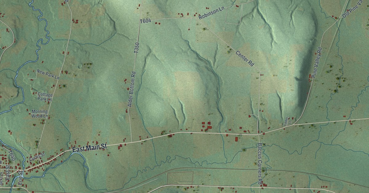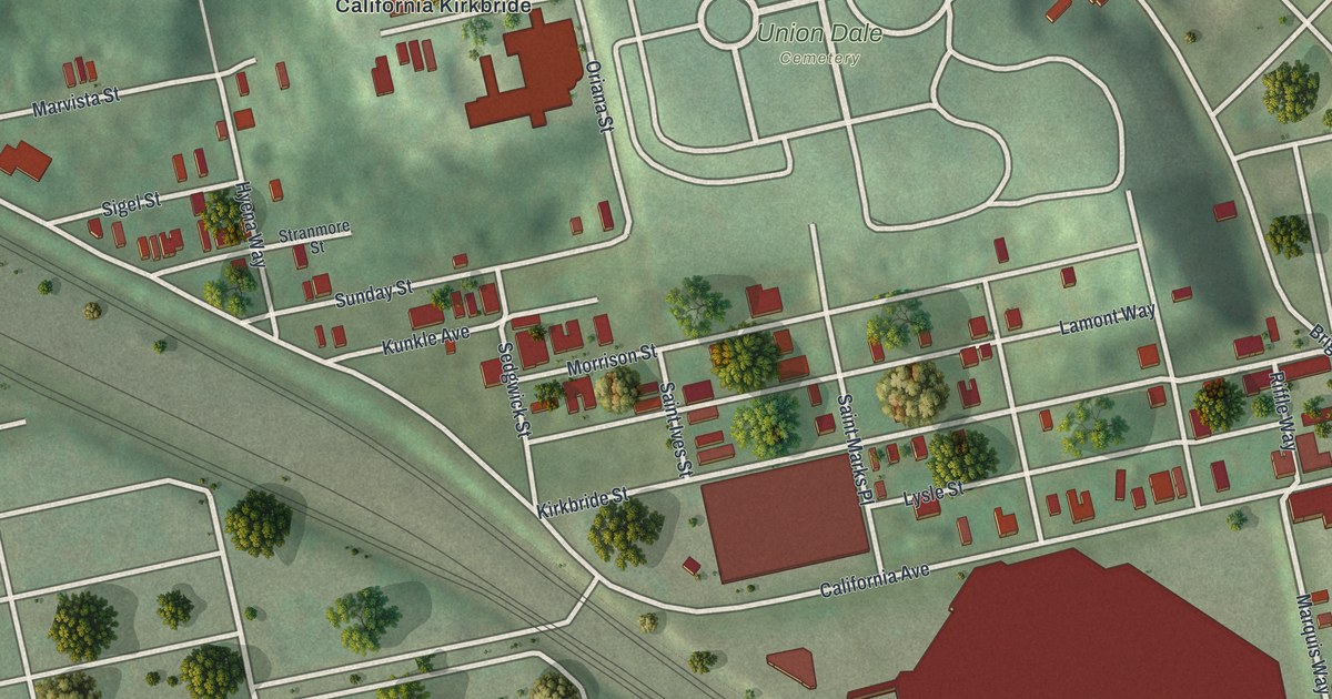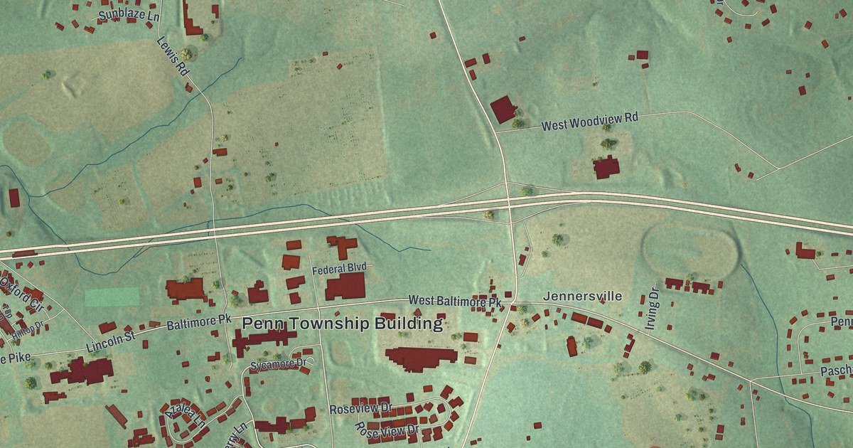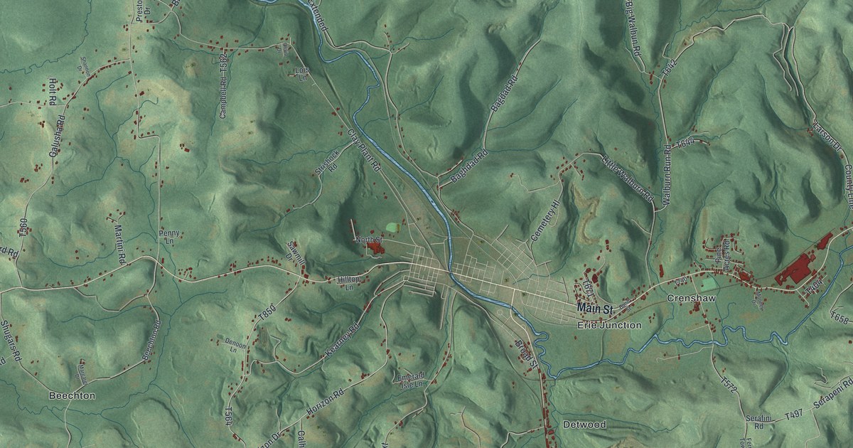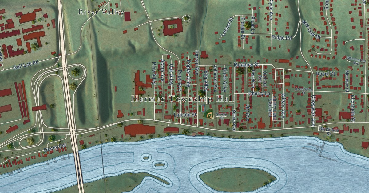
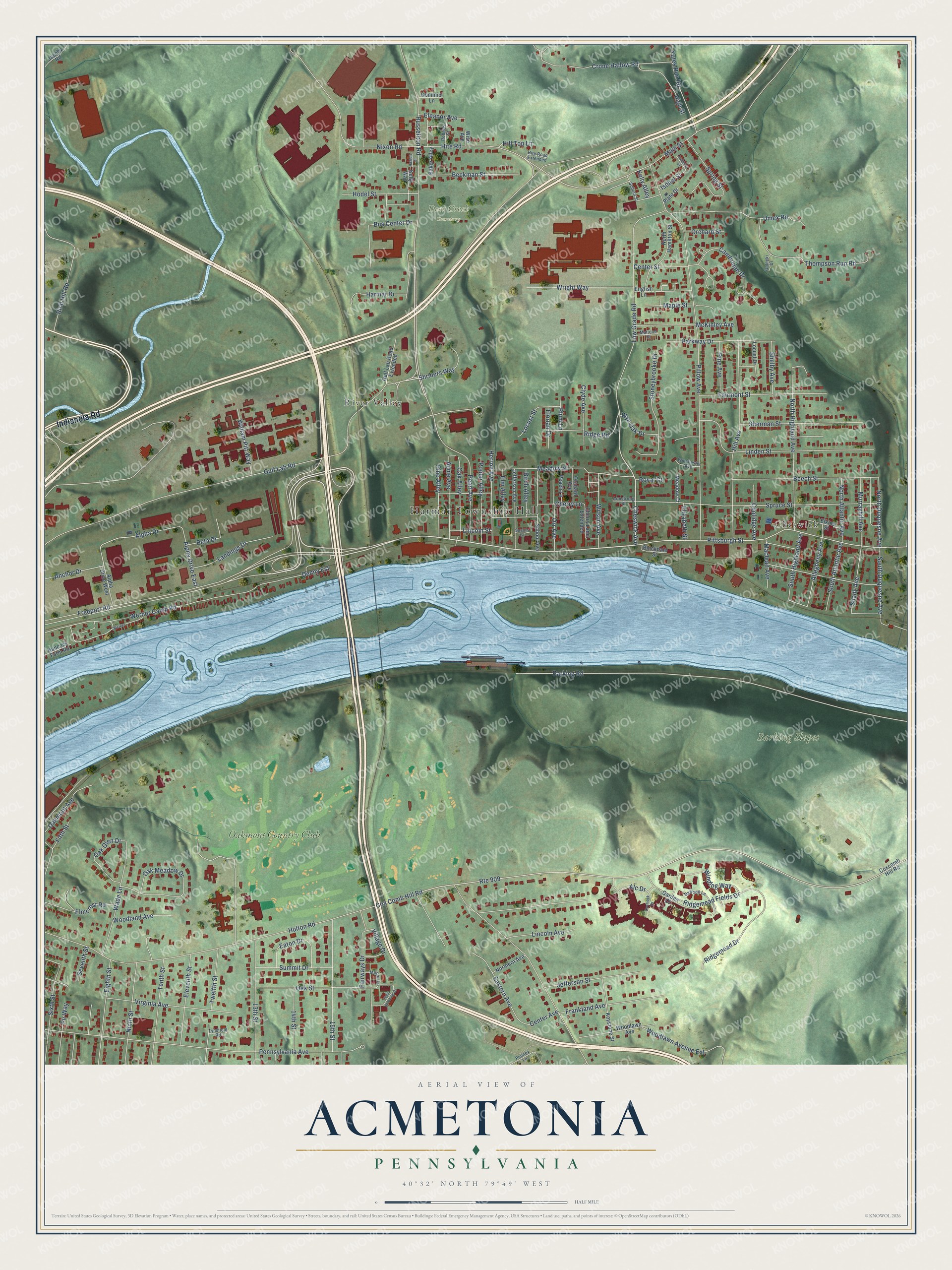
This beautifully detailed map of Acmetonia, Pennsylvania was created in 2026 using aerial imagery combined with modern topographical, census, street and landmark data. It’s a one-of-a-kind view of Acmetonia that combines accurate data with a vintage aesthetic. The map shows every building in its true location, many of the roads carry their names, and the shaded topographic relief shows the shape of the land.
Explore an aerial view of Acmetonia, Pennsylvania
On the map you’ll find Harmar Township Hall, Barking Slopes, Deer Creek Cemetery, Cheswick, River Valley, and Oakmont Country Club, along with Indianola Road, Freeport Road, Gulf Lab Road, Pearl Avenue, Cheswick Avenue, Russellton Road, and more. If you look closely you can even find your house accurately drawn in its correct location. Zoom in on the preview to look for yours.
Did You Know?
From the 1889 History of Allegheny County, Pennsylvania: "The postoffice was established in 1880 as Armstrong, and changed to Acmetonia in 1887."
Acmetonia is a community in Allegheny County.
Take a closer look at the Acmetonia map
Names on this map
These names are printed on this map.
Places: Harmar Township Hall, Barking Slopes, Deer Creek Cemetery, Cheswick, River Valley and Oakmont Country Club.
Streets and roads: Indianola Road, Freeport Road, Gulf Lab Road, Pearl Avenue, Cheswick Avenue, Russellton Road, Pittsburgh Street, Alpha Drive, North Duquesne Avenue, Werner Camp Road, South Duquesne Avenue, Hite Road.
More street names, A to Z
13th Street, 14th Street, 15th Street, Acme Avenue, Alc Drive, Allegheny Avenue, Alpha Drive East, Alpha Drive West, Anchor Drive, Armstrong Street, Baker Alley, Barking Road, Beckman Street, Beech Street, Beta Drive, Birch Alley, Blockdale Street, Bus Center Drive, Cambridge Drive, Center Avenue, Center Street, Cherry Lane, Cherry Lane Extended, Clyde Avenue, Coolidge Avenue, Cox Comb Hill Road, Coxcomb Hill Road, Crone Hallow Road, Daffodil Lane, Denny Est, Dominici Lane, Eastern Avenue, Eaton Drive, Eighth Street, Eleanor Avenue, Eleventh Street, Elizabeth Street, Elkins Street, Elm Alley, Elmcrest Road, English Lane, Fairmont Street, Fairways Drive, Fifth Street, Fir Way, Florian Drive, Frankland Avenue, Galecki Drive, Garden Court, Gulf Lab Road Extended, Hancock Farm Road, Harmar Drive, Hazlett Court, Herron Avenue, High Street, Hill Avenue, Hill Top Lane, Hite Road Extended, Hodel Street, Hulton Road, Isabella Street, Isobel Street, Jacoby Road, Jefferson Avenue, Jefferson Street, Kelly Alley, Kelly Way, Keystone Street, Landings Drive, Lincoln Avenue, Lincoln Street, Linden Street, Locust Drive, Locust Street, Low Grade Road, Maclean Avenue, Main Street, Maple Street, Mattone Court, McKinley Avenue, Meadow Court, Meadow Street, Merion Lane, Murrayhill Avenue, Ninth Street, Nixon Road, North Atlantic Avenue, Northern Avenue, North Hamilton Street, North Highland Avenue, Oak Alley, Oak Glen Drive, Oak Meadow Drive, Oakmont Avenue, Oak Street, Orchard Avenue, Orchard Street, Orr Avenue, Overlook Drive, Parkway Drive, Peach Lane, Pennex Lane, Pennsylvania Avenue, Pillow Avenue, Pine Alley, Pine Avenue, Plate Drive, Plum Lane, Poplar Alley, Rich Hill Road, Ridgemead Drive, Ridgemead Fields Drive, Ridge Road, Roberts Street, Route 909, Royal Court, Saint Andrews Drive, Savors Court, School Avenue, School Street, Seventh Street, Shady Avenue, Shelby Avenue, Sherman Street, Shriners Way, Sixth Street, South Atlantic Avenue, South Highland Avenue, Spring Street, Spruce Street, Stoneybrooke Drive, Summit Drive, Tenth Street, Thompson Run Road, Twelfth Street, Tynsfield Road, Umex Road, Village Drive, Virginia Avenue, Wade Lane, Werner, William Pitt Way, Wilson Avenue, Winchester Avenue, Winding Way, Wise Avenue, Woodland Avenue, Woodlawn Avenue, Woodlawn Avenue Extension, Wright Way, Wye Oak Drive, Yutes Run Road.
See it on a wall
The Acmetonia map as a framed print. Swipe for more.


This beautifully detailed map of Acmetonia makes an attractive addition to your office, library, or den, and it can even be used to teach children the geography and history of the area. It also makes a great gift for anyone who grew up in Acmetonia or moved away. When you’re done exploring, click here to get your copy of the Acmetonia map.