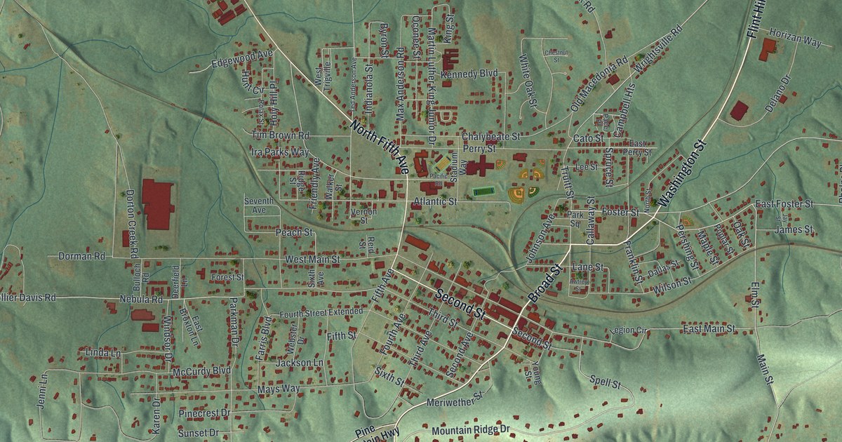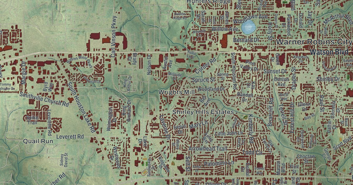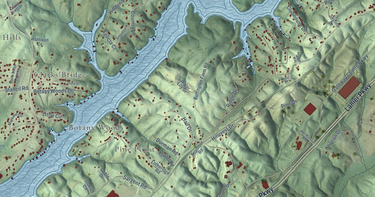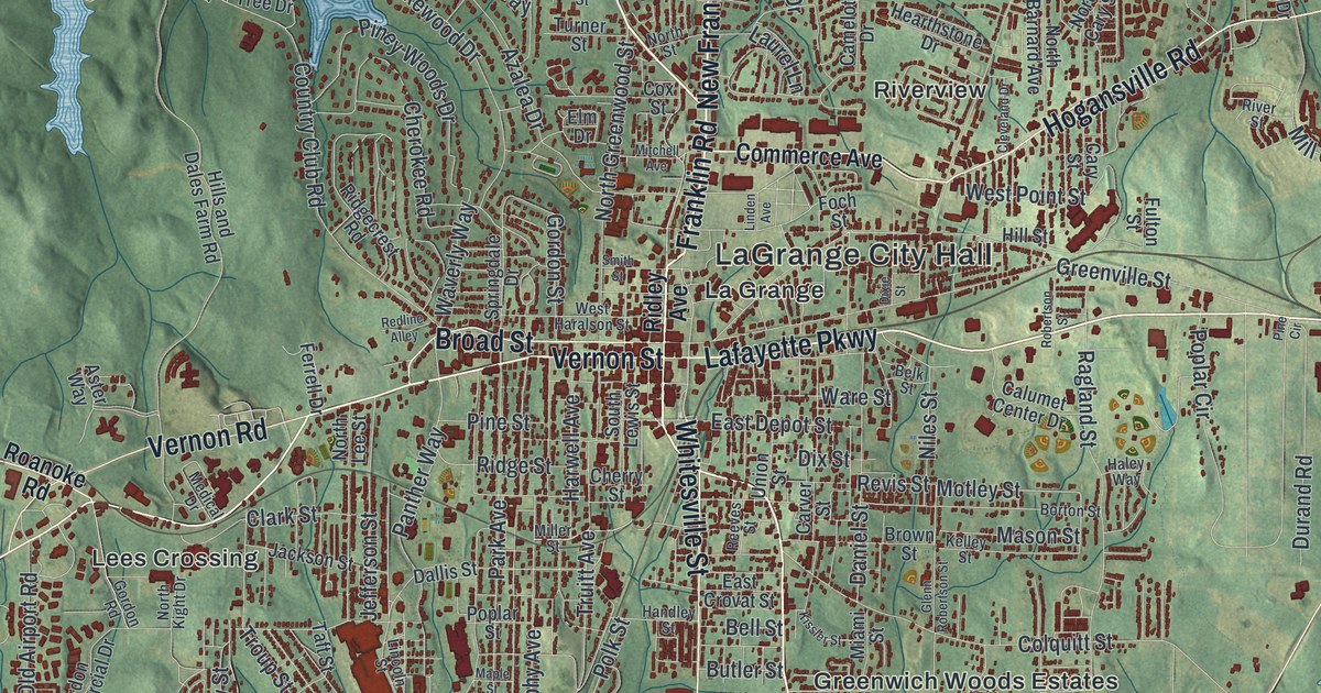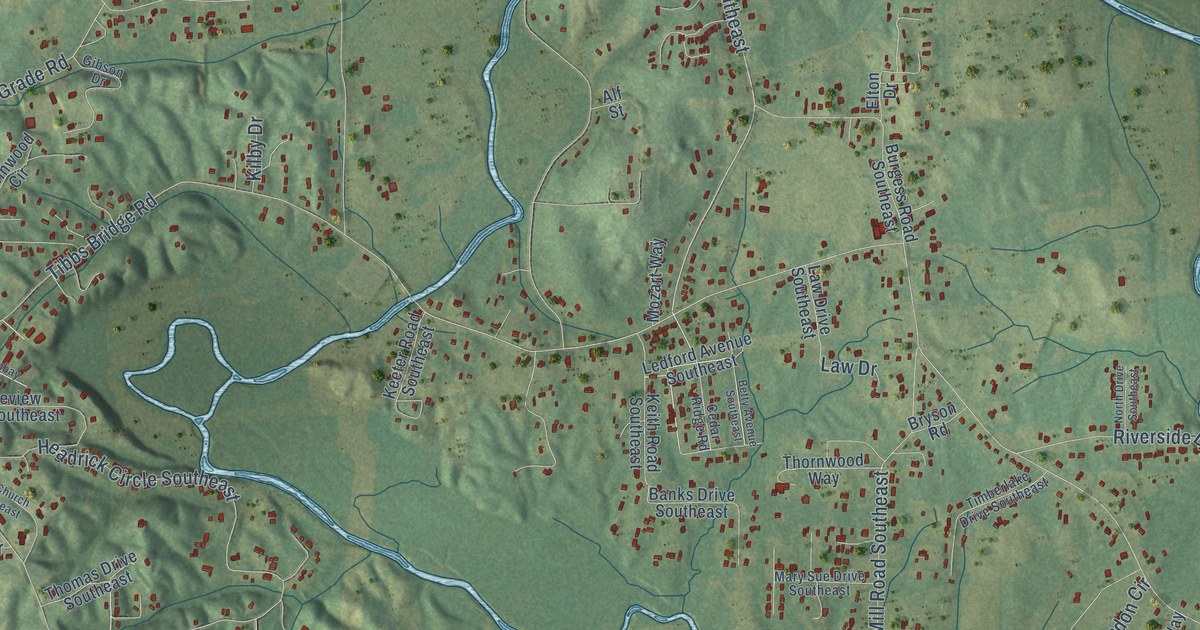
This beautifully detailed map of Cedar Ridge, Georgia was created in 2026 using aerial imagery combined with modern topographical, census, street and landmark data. It’s a one-of-a-kind view of Cedar Ridge that combines accurate data with a vintage aesthetic. The map shows every building in its true location, many of the roads carry their names, and the shaded topographic relief shows the shape of the land.
Explore an aerial view of Cedar Ridge, Georgia
On the map you’ll find Keiths Mill, along with Chatsworth Road Southeast, Chatsworth Highway, Cedar Ridge Road Southeast, Maddox Chapel Road Northeast, Maddox Chapel Road, Flair Knoll Drive Southeast, Tibbs Bridge Road Southeast, Parker Road Southeast, Airport Road Southeast, Keith Mill Road Southeast, Bethel Church Road Northeast, and more. If you look closely you can even find your house accurately drawn in its correct location. Zoom in on the preview to look for yours.
Take a closer look at the Cedar Ridge map
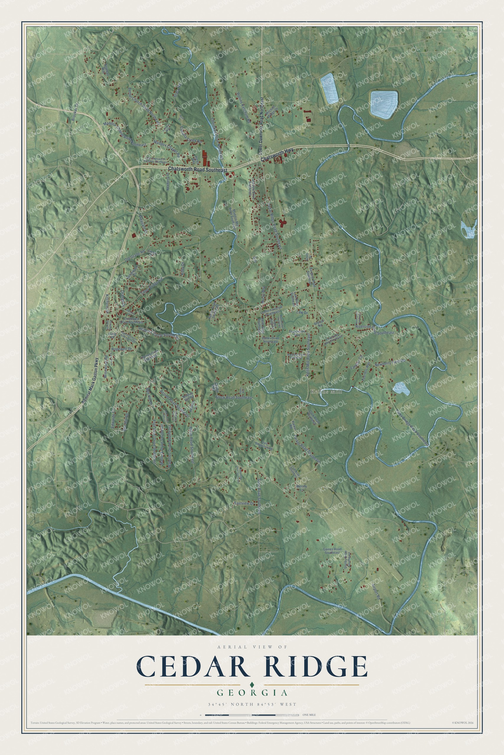
Names on this map
These names are printed on this map.
Places: Keiths Mill.
Streets and roads: Chatsworth Road Southeast, Chatsworth Highway, Cedar Ridge Road Southeast, Maddox Chapel Road Northeast, Maddox Chapel Road, Flair Knoll Drive Southeast, Tibbs Bridge Road Southeast, Parker Road Southeast, Airport Road Southeast, Keith Mill Road Southeast, Bethel Church Road Northeast, Headrick Circle Southeast.
More street names, A to Z
Admiral Mack Gaston Parkway, Airport Road, Alf Street, Ashton Lane Southeast, Banks Drive Southeast, Ben Hill Drive, Ben Hill Road, Betty Avenue Southeast, Brock Road Southeast, Brooker Drive, Bryson Road, Burgess Road Southeast, Bush Street, Cedar Ridge Road, Cherokee Drive Northeast, Circleview Drive Southeast, Clark Road Southeast, Cohulla Creek Road, Craig Road, Dale Singleton Road, Eastview Drive, Edwards Circle, Elton Drive, Frye Road Southeast, Gaines Road Southeast, Gibson Drive, Greenbay Drive, Hares Way, Hopewell Church Road Southeast, Hopewell Drive, Jericho Way, Kate Ann Drive, Keeter Road Southeast, Keith Road Southeast, Kilby Drive, Kitchens Drive, Lakeview Drive Southeast, Landon Circle, Law Drive, Law Drive Southeast, Ledford Avenue Southeast, Lower Dawnville Road Northeast, Lumkin Way, Lynn Drive Southeast, Maddox Mill Road Southeast, Mary Sue Drive Southeast, Matlock Drive Southeast, Melody Lane, Miller Road Southeast, Mitchell Bridge Drive, Mobley Mill Road, Mozart Way, Netchall Way, Newberry Drive, Newberry Farm Road, North Drive Southeast, Old Chatsworth Highway Southeast, Old Grade Road, Orange Drive, Parker Road, Payton Way, Peerless Way, Pleasant Drive, Redbird Lane, Riverside Drive Southeast, Robinwood Circle, Rollins Ketchum Road, Sane Road Southeast, Satterfield Drive Southeast, Shelby Drive Southeast, Stacy Road, Sue Lane Southeast, Thomas Drive Southeast, Thornwood Way, Tibbs Bridge Road, Timberlake Drive Southeast, Waterloo Drive Southeast, Winnwood Road.
See it on a wall
The Cedar Ridge map as a framed print. Swipe for more.


This beautifully detailed map of Cedar Ridge makes an attractive addition to your office, library, or den, and it can even be used to teach children the geography and history of the area. It also makes a great gift for anyone who grew up in Cedar Ridge or moved away. When you’re done exploring, click here to get your copy of the Cedar Ridge map.