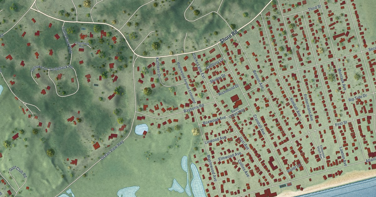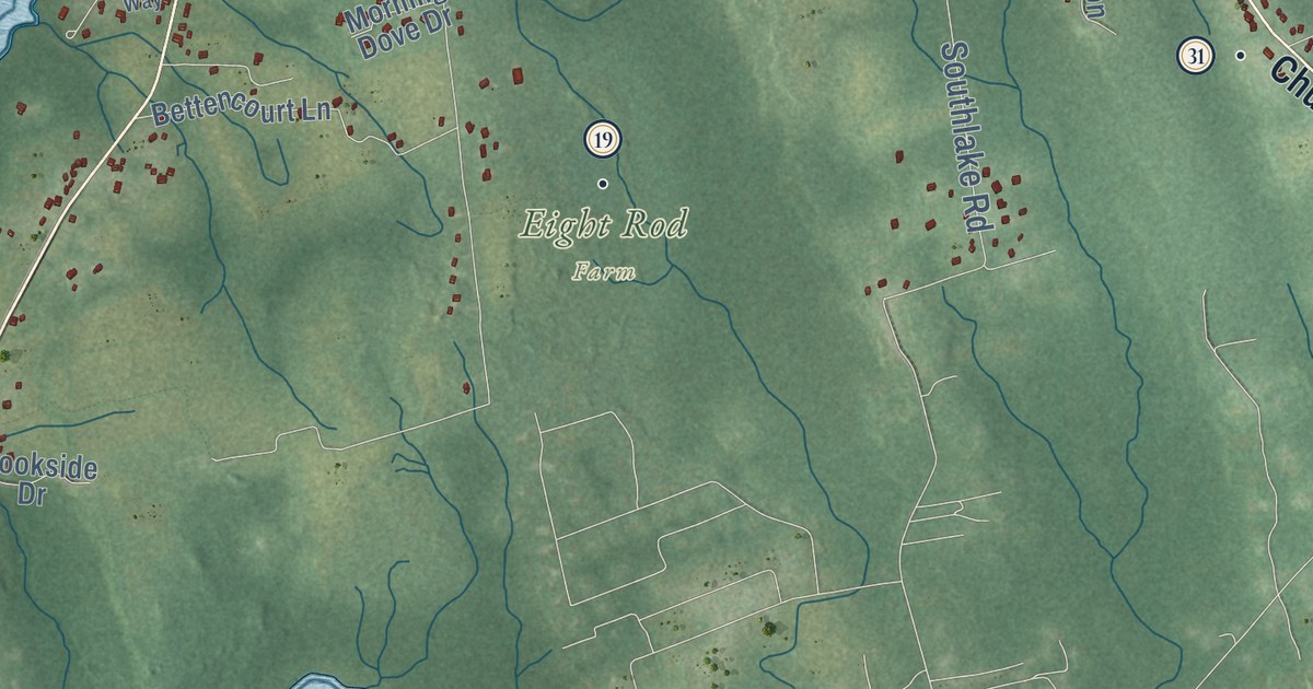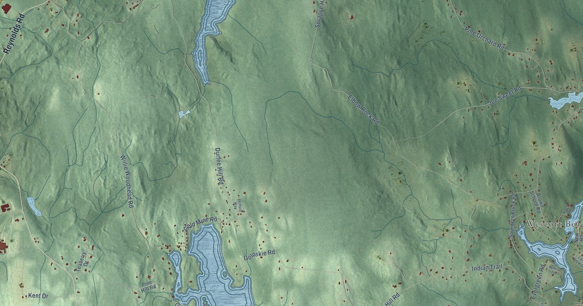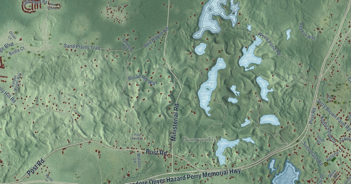
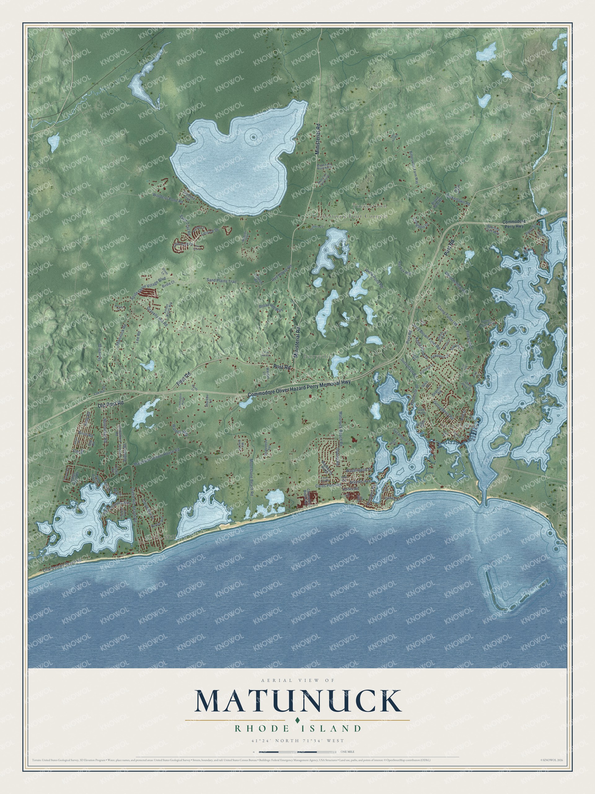
This beautifully detailed map of Matunuck, Rhode Island was created in 2026 using aerial imagery combined with modern topographical, census, street and landmark data. It’s a one-of-a-kind view of Matunuck that combines accurate data with a vintage aesthetic. The map shows every building in its true location, many of the roads carry their names, and the shaded topographic relief shows the shape of the land.
Explore an aerial view of Matunuck, Rhode Island
On the map you’ll find Perryville, Green Hill, Tuckertown, Snug Harbor, Tuckertown Four Corners, and Fire Lane 7, along with Commodore Oliver Hazard Perry Memorial Highway, Post Road, Ministerial Road, Old Post Road, Birch Road, Carpenter Drive, and more. If you look closely you can even find your house accurately drawn in its correct location. Zoom in on the preview to look for yours.
Take a closer look at the Matunuck map
Names on this map
These names are printed on this map.
Places: Perryville, Green Hill, Tuckertown, Snug Harbor and Tuckertown Four Corners.
Streets and roads: Commodore Oliver Hazard Perry Memorial Highway, Post Road, Ministerial Road, Old Post Road, Fire Lane 7, Birch Road, Carpenter Drive, Succotash Road, Jerry Brown Farm Road, Elm Road, Camp Fuller Road, South Shore Village Boulevard.
More street names, A to Z
Atlantic Avenue, Auburn Road, Bayfield Drive, Beach Drive, Bedford Drive, Birdie Court, Bittersweet Farm Way, Blackberry Hill Drive, Border Avenue, Brant Road South, Briggs Road, Broad Hill Way, Brook Farm Road North, Brook Farm Road South, Brown Bear Road, Canterbury Road, Cards Pond Road, Carpenters Beach Road, Charlestown Beach Road, Commodore Perry Highway, Congdon Drive, Corey Road, Davids Way, Day Lily Circle, Driver Lane, East Drive, East Hill Way, Exit Street, Fire Lane, Fire Lane 1, Gale Drive, Gooseberry Road, Gravelly Hill Road, Green Hill Beach Road, Hartford Avenue, Holden Road, Holiday Court, Holly Road, Hull Street, Hummingbird Hollow, Iacuele Drive, Indigo Point Road, Juniper Road, Kenyon Woods Way, Kettle Pond Drive, Lab Hill Drive, Lahinch Road, Lee Road, Leisure Drive, Little Pond Road, Lower Farm Road, Matunuck Beach Road, Matunuck School House Road, Mautucket Road, Mill Pond Road, Moonstone Beach Road, Moraine Court, Oak Road, Ocean Avenue, Osprey Road, Park Avenue, Paul Street, Peninsula Road, Pine Knoll Lane, Pine Tree Lane, Point Avenue, Pond Street, Prospect Road, Quagnut Drive, Red Fox Way, Red House Road, Sabbatia Trail, Saint Pierre, Sand Piper Drive, Sand Plains Trail, Sand Trail Road, Schooner Drive, Seabreeze Terrace, Segar Court, Shannock Road, Shannon Road, Silva Street, Sleepy Hollow Lane, South Jerry Cv, Spartina Cove Way, Stewart Way, Sycamore Lane, Teal Drive, Thoreau Lane, Tuckertown Pk Drive, Tuckertown Road, Tupelo Road, Turner Cove Way, Twin Peninsula Avenue, Victoria Lane, Walden Way, Washington Street, Watson Lane, Webster Trail, Wendy Lane, Westcote Drive, White Pond Road, Winchester Drive, Wood Hollow Road, Wordens Pond Road.
See it on a wall
The Matunuck map as a framed print. Swipe for more.


This beautifully detailed map of Matunuck makes an attractive addition to your office, library, or den, and it can even be used to teach children the geography and history of the area. It also makes a great gift for anyone who grew up in Matunuck or moved away. When you’re done exploring, click here to get your copy of the Matunuck map.