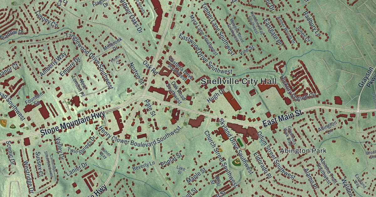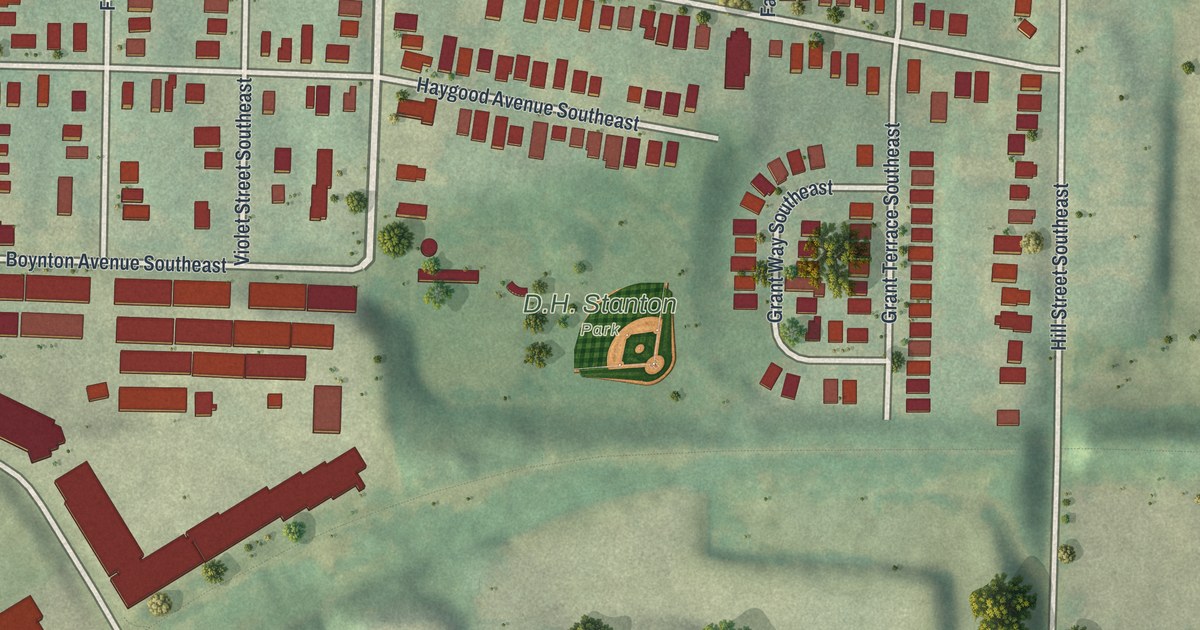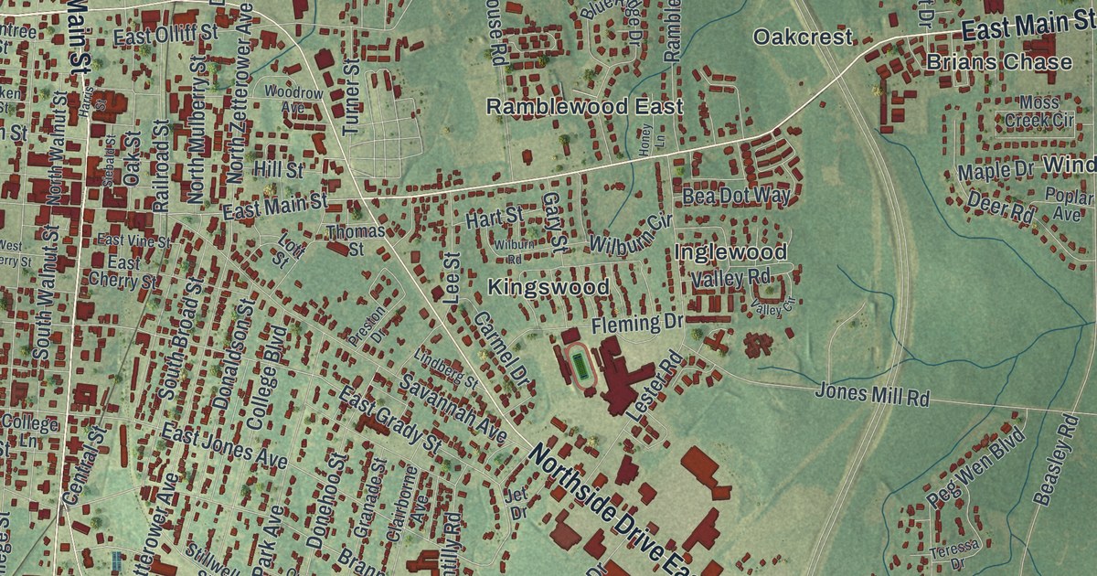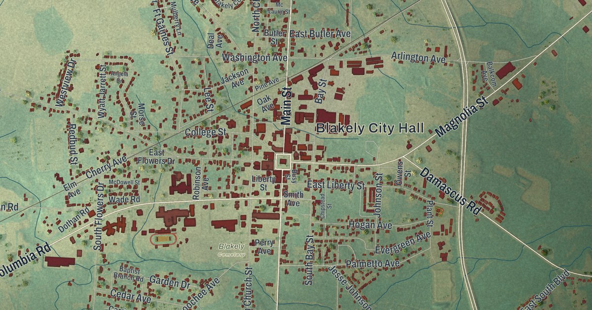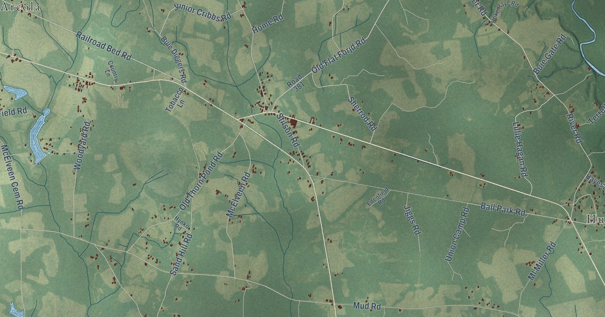
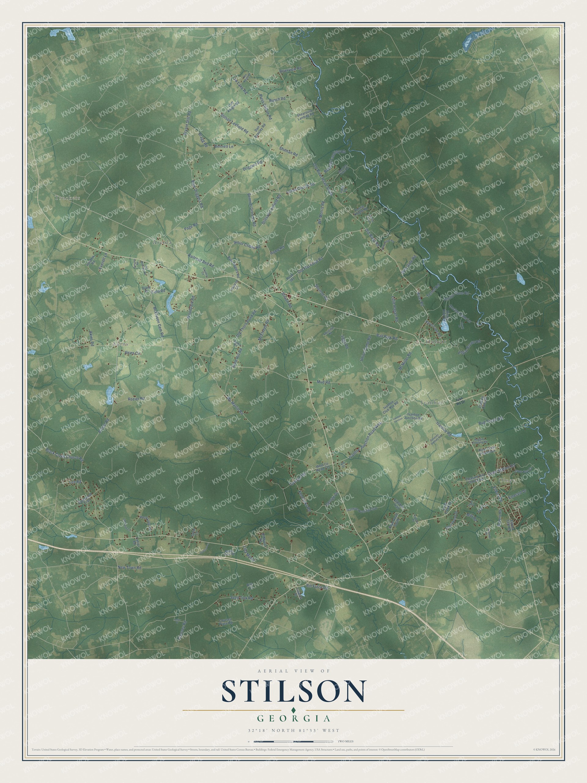
This beautifully detailed map of Stilson, Georgia was created in 2026 using aerial imagery combined with modern topographical, census, street and landmark data. It’s a one-of-a-kind view of Stilson that combines accurate data with a vintage aesthetic. The map shows every building in its true location, many of the roads carry their names, and the shaded topographic relief shows the shape of the land.
Explore an aerial view of Stilson, Georgia
On the map you’ll find Truckers, Olney, Akins, Hubert, Ivanhoe, and Arcola, along with Railroad Bed Road, Old River Road, Old Flat Forjd Road, Stillson-Leefield Road, Junior Cribbs Road, River Road, and more. If you look closely you can even find your house accurately drawn in its correct location. Zoom in on the preview to look for yours.
Did You Know?
From Internet Archive: "West Meredith was a small settlement about two miles east of East Franklin, and the big man of*the~town was Nathan Stilson, who ran a store, distillery, pot-ashery, and a farm."
Stilson is a community in Bulloch County.
Take a closer look at the Stilson map
Names on this map
These names are printed on this map.
Places: Truckers, Olney, Akins, Hubert, Ivanhoe and Arcola.
Streets and roads: Railroad Bed Road, Old River Road, Old Flat Forjd Road, Stillson-Leefield Road, Junior Cribbs Road, River Road, Ivanhoe Road, Mud Road, Old River Road South, Sherrod Road, Arcola Road, Black Creek Church Road.
More street names, A to Z
Akins Circle, Akins Road, Alex Knight Road, Andrews Road, Ball Park Road, Beasley Landing Road, Bennett Grooms Road, Bennett Lane, Bill Futch Road, Bragg Road, Bryant Still Road, Bug Tussle Road, Buie Diggers Road, Buie Driggers Road, Buie Gate Road, Bunch Road, Captain Cone Court, Cherrywood Drive, Cliff Knight Road, Coon Key Cv, Country Lane, Coursey Place Road, Coursey Road, Cycle Lane, Dan Beasley Road, Diane Drive, Dickerson Lane, Doctor Cone Lane, Doctor Cone Road, Driggers Road, Edenfield Road, Edgar Brown Road, Eldora Cem Road, Eldora Road, Ellerbee Trail, Emerald Drive, Everett Lane, Field Road, Fonnie Knight Road, Geechee Pines Drive, George Drive, George Road, Groover Grimes Road, Hayes Lake Road, Hendrix Road, Hicory Bluff Road, Hicory Lane, Hoke Haye Road, Home Road, Hood Loop Road, Huggins Crossing Road, Hynko Road, Ivan Ho Drive, Ivanhoe Club Hse Road, Ivanhoe Hunting Club, Ivanhoe Junction, Ivanhoe Junction Road, Ivanhoe Junction Road West, Jett Drive, Jiggs Road, Jw Lane Road, Kendricks Road, Knob Creek Drive, Lanes Church Road, Lang Lane, Lanier Drive, Lanier Road, Lee Road, Lilla Myers, Lillie Hagan Road, May Road, McElveen Cem Road, McElveen Road, Millies Pond Road, Ml Miller Road, Mp Martin Road, New Town Road, Old Flat Forjd Lane, Old Hood Lane, Old McElveen Road, Old Thorn Pond Road, Olney Station Road, Page Road, Pearl Court, Pearl Lane, Pleasant Hill Church Road, Pless Clifton Road, Pope Road South, Rita Lane, River Crest Plantation, Riverview Road, Road 381, Roberts Road, Rozier Road, Rt Myers Road, Sand Hill Road, Satinwood Trail, Seed Tick Road, Shearouse Landing Road, Shuman Road, Speights Road, Stilson Leefield Road, Stilson Road, Sunshine Road, Terrell Road, Tobacco Lane, Trawick Drive, Union Camp Road, West County Road 715, Wh Morris Road, Woodyard Road.
See it on a wall
The Stilson map as a framed print. Swipe for more.


This beautifully detailed map of Stilson makes an attractive addition to your office, library, or den, and it can even be used to teach children the geography and history of the area. It also makes a great gift for anyone who grew up in Stilson or moved away. When you’re done exploring, click here to get your copy of the Stilson map.