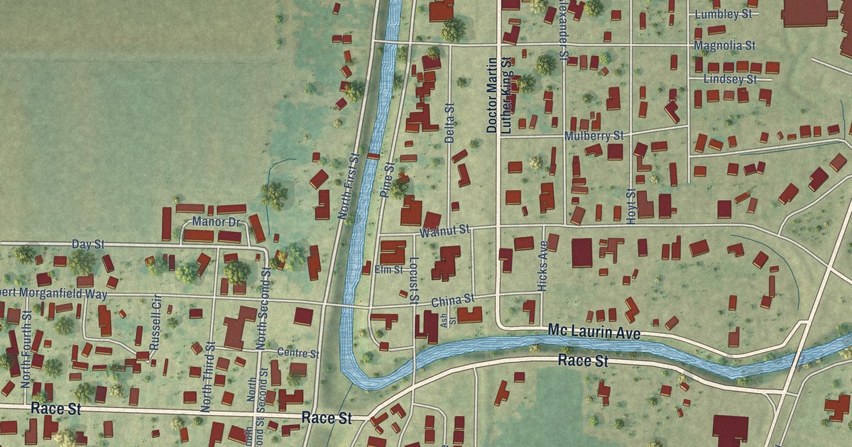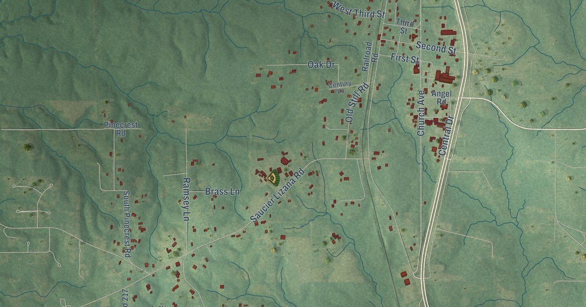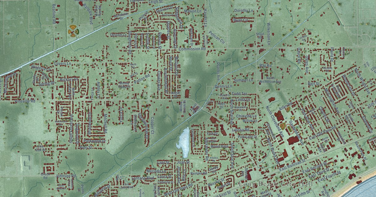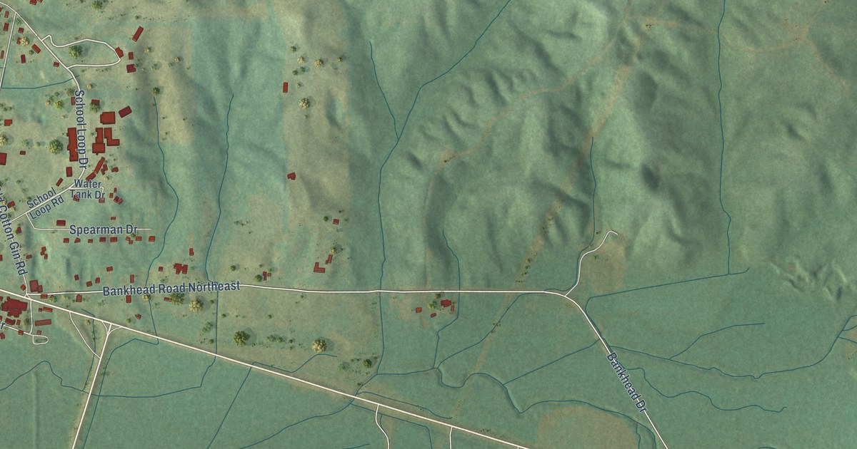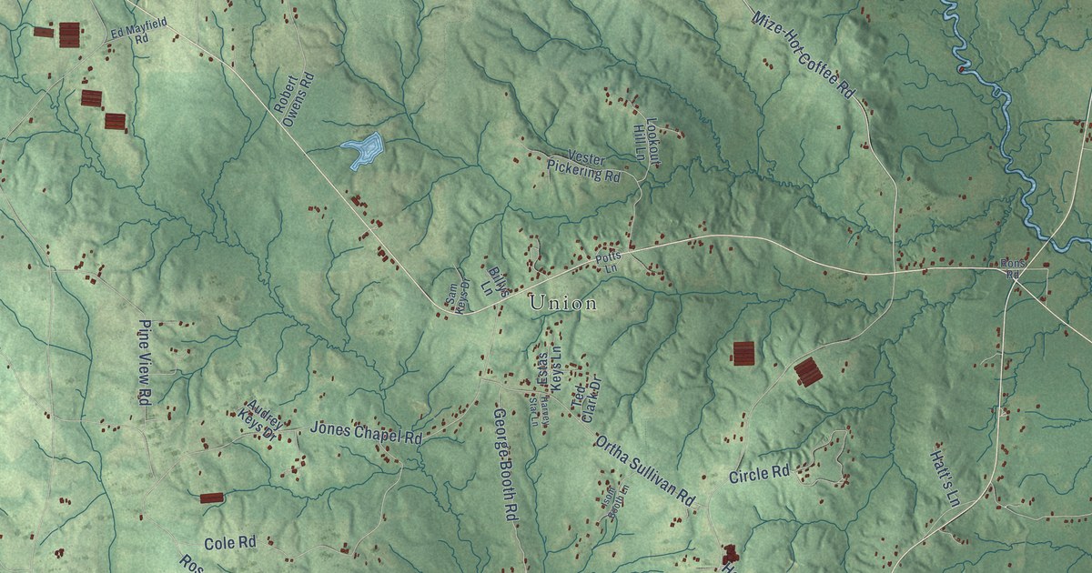
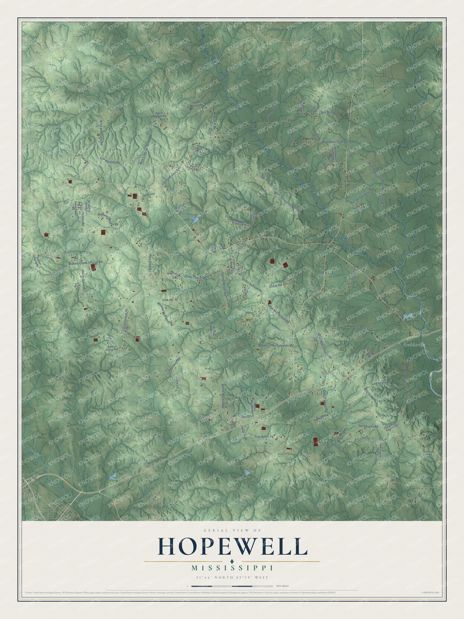
This beautifully detailed map of Hopewell, Mississippi was created in 2026 using aerial imagery combined with modern topographical, census, street and landmark data. It’s a one-of-a-kind view of Hopewell that combines accurate data with a vintage aesthetic. The map shows every building in its true location, many of the roads carry their names, and the shaded topographic relief shows the shape of the land.
Explore an aerial view of Hopewell, Mississippi
On the map you’ll find Blakley Creek, Leaf River, Reddochs, Gilmore, Union, Station Creek, and Shady Oak, along with Dot Vaughn Road, Magee Road, Gilmer Road, Troy Wade Road, Shady Oak Church Road, and more. If you look closely you can even find your house accurately drawn in its correct location. Zoom in on the preview to look for yours.
Did You Know?
From Internet Archive: "The leading community appears to have been Hopewell, five miles north of Winchester in Frederick County, Virginia, which was well established by 1735."
Hopewell is a community in Covington County.
Take a closer look at the Hopewell map
Names on this map
These names are printed on this map.
Places: Blakley Creek, Leaf River, Reddochs, Gilmore, Union, Station Creek and Shady Oak.
Streets and roads: Dot Vaughn Road, Magee Road, Gilmer Road, Troy Wade Road, Shady Oak Church Road, Hopewell Road, Salem School Road, Mize-Hot Coffee Road, Oakahay Creek Road, Monroe Road, Keys and Clark Road, Roscoe McDaniel Road.
More street names, A to Z
Abe Gentry Road, Audrey Keys Drive, Barber Shop Lane, Barnes Cemetary Road, Bash Blackwell Road, Ben Stroud Road, Billys Lane, Blackwell Road, Blakely Creek Church Road, Boyd Duckworth Drive, Broomfield Lane, Buford Booth Drive, Butternut Drive, Church Lane, Circle Road, Cole Road, County Line Road, Curtis Knight Road, Dalton Corley Drive, David Clanton Drive, Decar Page Drive, Dennis Road, Dennistown Road, Dilmore Dennis Road, Don't Road, Edison Way, Ed Mayfield Road, Estas Keys Lane, Fox Hunting Road, Frank Roberts Road, Fred Avenue, Gayloo Road, George Booth Road, George Speed Road, Gerald Warren Drive, Graham Aultman Road, Gus Avenue, Hart's Circle, Harvey Star Lane, Hatt's Lane, Hopewell School Road, Isom Booth Lane, James Speed Road, Jim Quick Road, Joe Booth Road, Jones Chapel Road, Knight Cemetary Road, Leaf River Church Road, Lily Valley Church Road, Lookout Hill Lane, Love Lane, Melvin Mauldin Road, Nakes Lane, New Hopewell Church Road, New Liberty Church Road, Old Highway 84, Ortha Sullivan Road, Pine View Road, Potts Lane, Robert Barnes Drive, Robert Owens Road, Rocky Valley Road, Rons Road, Salem Church Road, Sam Keys Drive, Short Street, Speed McLeod Road, Speed Road, Ted Clark Drive, Tom Powell Road, Vester Pickering Road, Ward South Drive, Wayne Owens Lane, Wheelertown Sylvester Road.
See it on a wall
The Hopewell map as a framed print. Swipe for more.


This beautifully detailed map of Hopewell makes an attractive addition to your office, library, or den, and it can even be used to teach children the geography and history of the area. It also makes a great gift for anyone who grew up in Hopewell or moved away. When you’re done exploring, click here to get your copy of the Hopewell map.