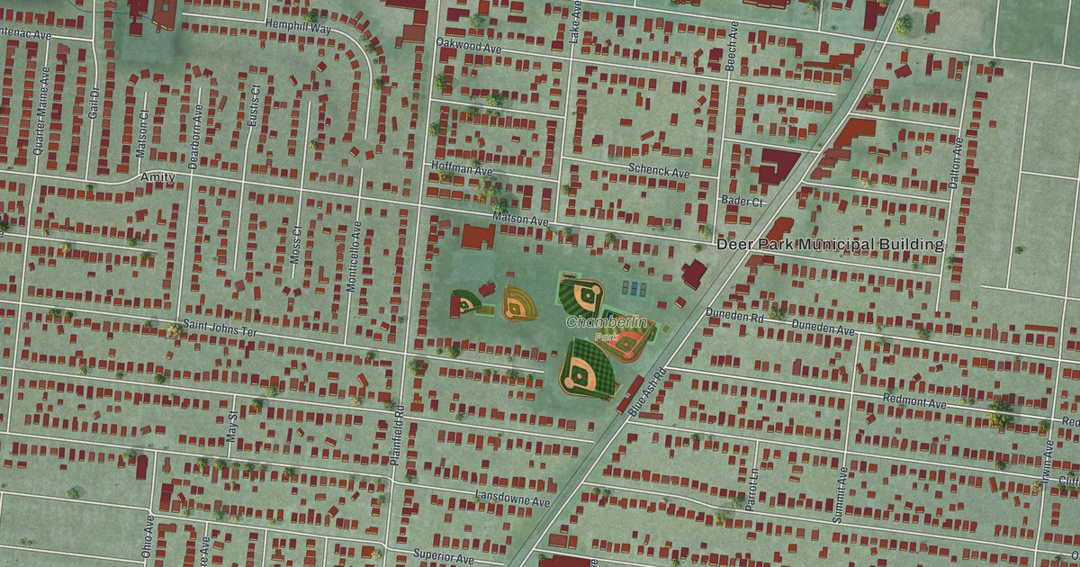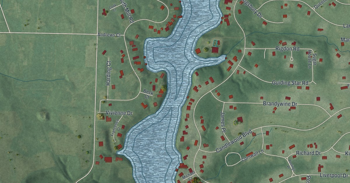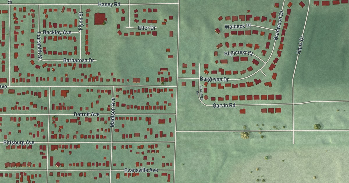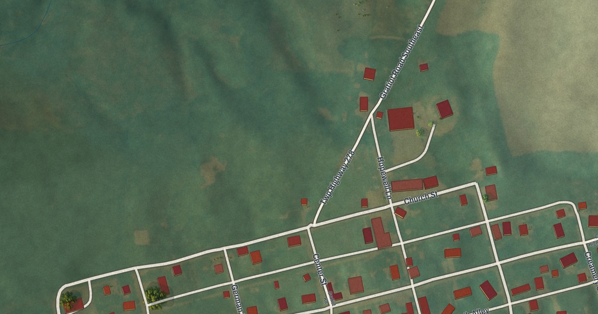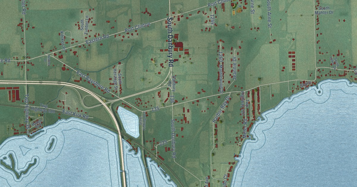
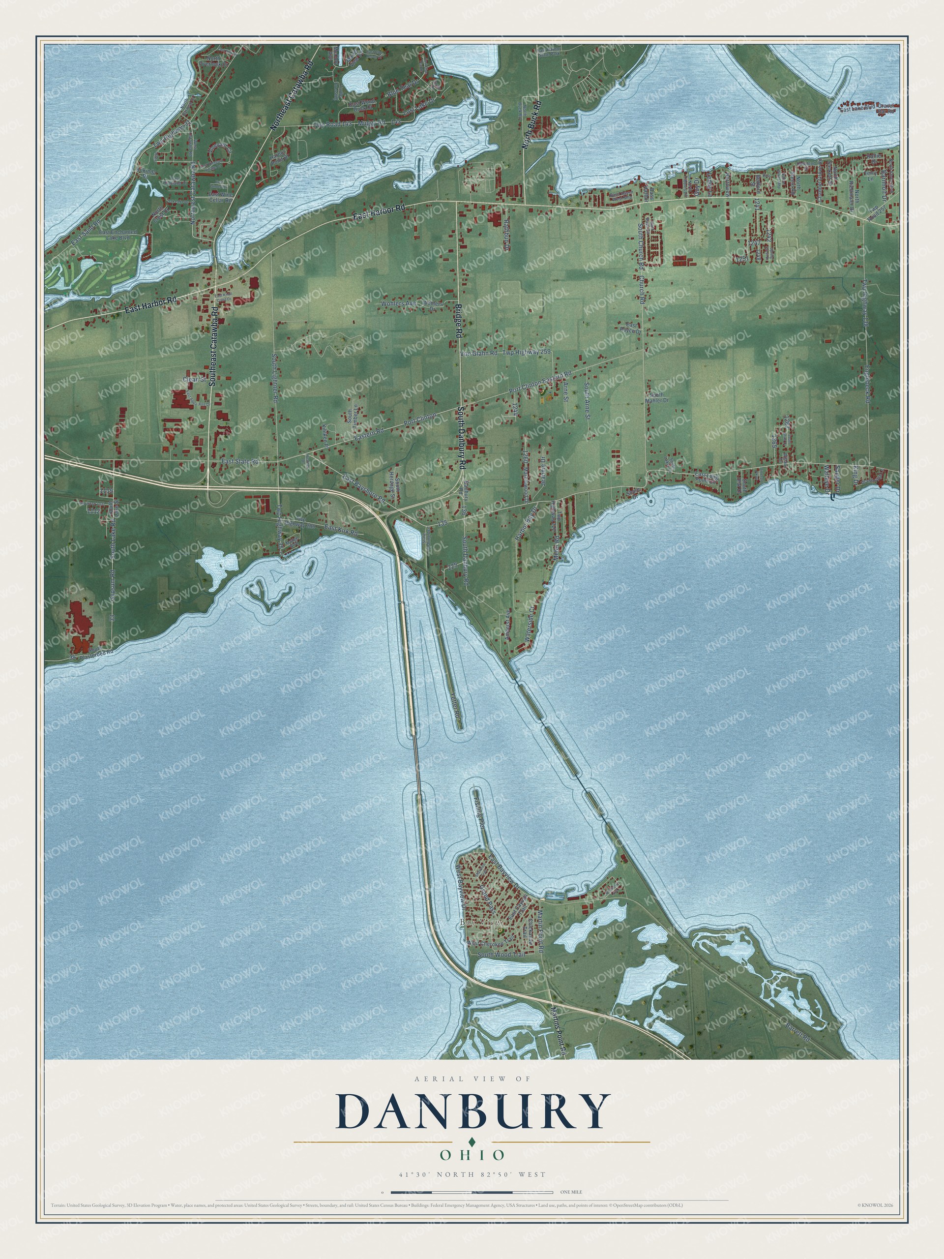
This beautifully detailed map of Danbury, Ohio was created in 2026 using aerial imagery combined with modern topographical, census, street and landmark data. It’s a one-of-a-kind view of Danbury that combines accurate data with a vintage aesthetic. The map shows every building in its true location, many of the roads carry their names, and the shaded topographic relief shows the shape of the land.
Explore an aerial view of Danbury, Ohio
On the map you’ll find Bay View and Port Clinton, along with Southeast Catawba Road, South Danbury Road, East Harbor Road, Northeast Catawba Road, Bridge Road, North Buck Road, East Bayshore Road, Eastern Road, Lost Lake Drive, Muggy Road, and more. If you look closely you can even find your house accurately drawn in its correct location. Zoom in on the preview to look for yours.
Did You Know?
From Internet Archive: "In the summer of 1817, Samuel Husted and Ezra Wood came from Danbury, Connecticut, to Ohio, and during the summer erected the first house in Clarksfield township."
Danbury is a community in Ottawa County.
Take a closer look at the Danbury map
Names on this map
These names are printed on this map.
Places: Bay View and East Harbor State Park.
Streets and roads: Southeast Catawba Road, South Danbury Road, East Harbor Road, Northeast Catawba Road, Bridge Road, North Buck Road, East Bayshore Road, Eastern Road, Port Clinton, Lost Lake Drive, Muggy Road, Martin Point Road.
More street names, A to Z
Amherst Avenue, Arne Street, Barnholt Drive, Barrett Road, Bass, Bass Harbor, Bass Haven West Mhp, Bedford Street, Blue Teal Drive, Channel Grove Road, Chickasaw Trail, Church Road, Clean Street, Danbury Road, Dowdend Street, Drawbridge Lane, Eagle, East Aqua-Aire Drive, East Bass Circle, East Bayview Drive, East Blue Heron Drive, East Blue Teal Drive, East Cayuga Trail, East Enchanted Lake Boulevard, East Gintert Lane, East Highland Drive, East Kirk Drive, East Kirk Road, East Knoll Crest Drive, East Lake Boulevard, East Long Point Circle, East Royce Drive, East Sand Road, East State Road, East Vineyard Village Drive, East Wine Cellar Road, East Wood Duck Court, Emerald Parkway, Englebeck Road, Fishing Pier, Grand Pass, Gravel Bar Road, Guy Drive, Gypsum Road, Harbor Bay Drive, Harbor Point Drive, Harbor Winds Mhp, Heather Drive, Jeannie Drive, Kihlken Place, King Drive, Kokinda Drive, Leddy Lane, Madge Boulevard, Marblewood Drive, Marsh View Drive, Martins Point Road, McCloy Avenue, Meter Road, Newberry Avenue, North Byrneal Drive, North Crest Drive, North Overlook Drive, North Riedmaier Drive, North Sackett Street, North Shore Boulevard, North Steele Road, North Tibbles Drive, Northview, Northwest Catawba Road, Oak Lake Drive, Port Clinton Eastern Road, Rathbun Drive, Rollie Drive, Sauger Drive, Shawnee Trail, Shore Drive, South Anna Drive, South Arne Street, South Church Road, South Heritage Street, South Laker Drive, South Lake Road, South Lake Street, South Lightner Road, South Mahler Drive, South Olaf Drive, South Plasterbed Road, South Timber Lane, South Wood Trail, Spring Crest Drive, State Fishing Acc, Swan Drive, Terry Lane, Turtle Crossing, Twp Highway 31, Twp Highway 35, Twp Highway 138, Twp Highway 222, Twp Highway 259, Twp Highway 280, Twp Road 143, Twp Road 257, Twp Road 1031, Vineyard Circle, Von Glahn Road, Walleye Drive, Waterside Court, West Bayview Drive, West Catawba Road, West Cherokee Trail, Willard Drive, Wohlers Avenue, Wohlers Drive, Yetter Road.
See it on a wall
The Danbury map as a framed print. Swipe for more.


This beautifully detailed map of Danbury makes an attractive addition to your office, library, or den, and it can even be used to teach children the geography and history of the area. It also makes a great gift for anyone with Danbury roots. When you’re done exploring, click here to get your copy of the Danbury map.