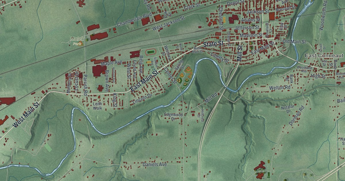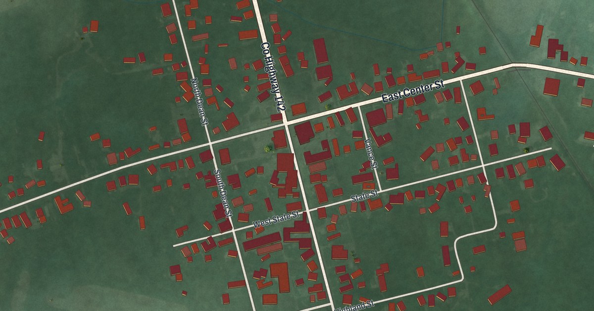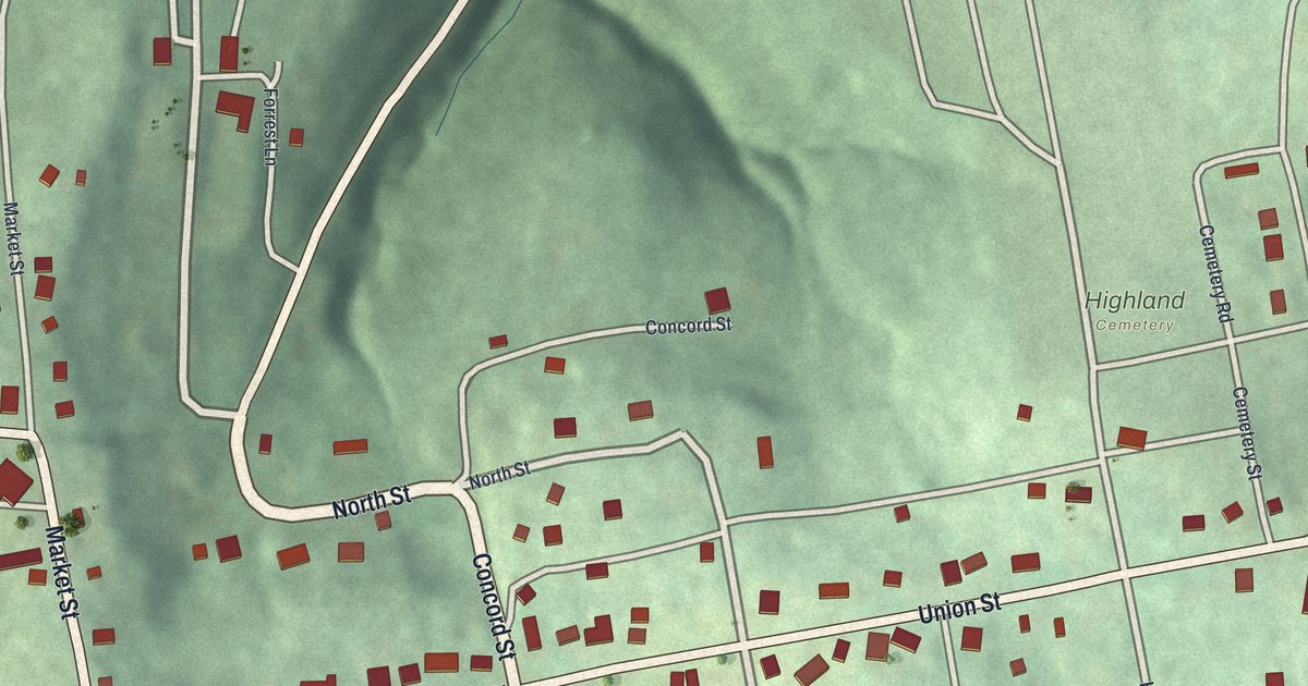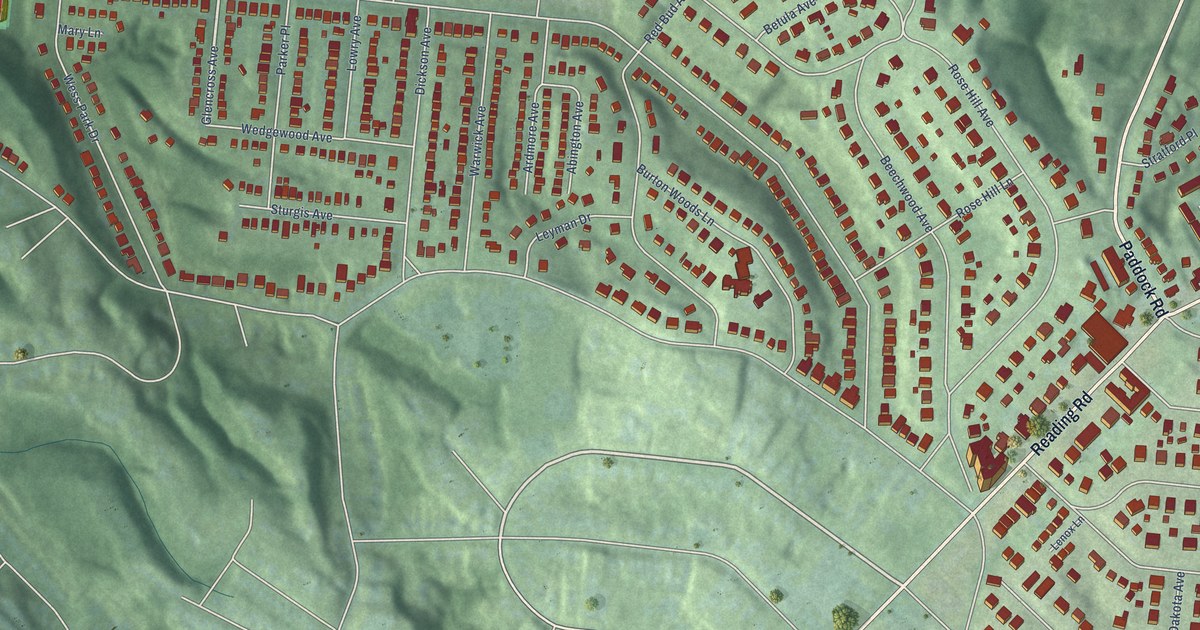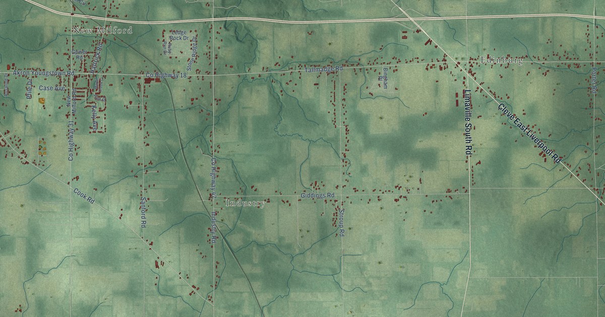
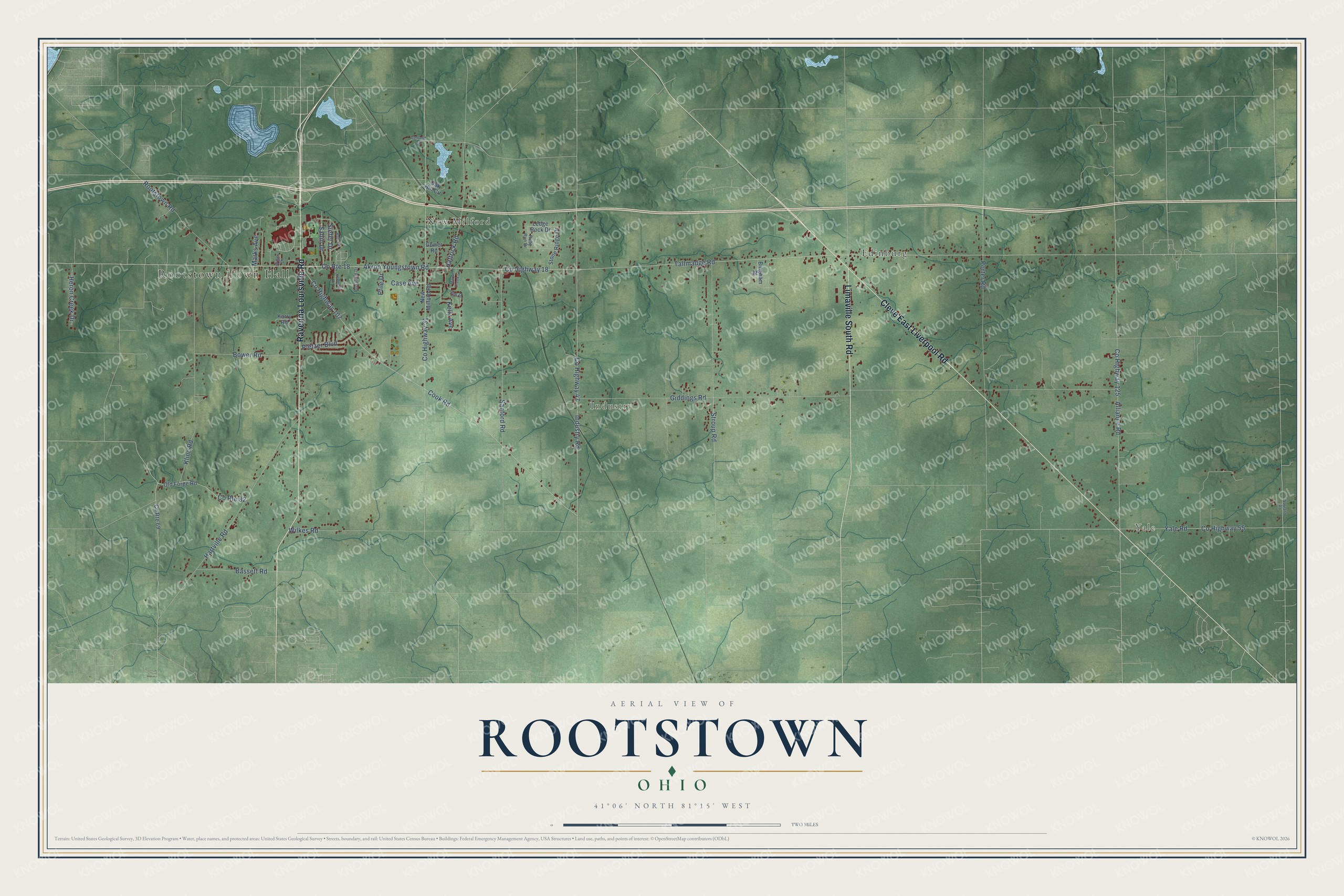
This beautifully detailed map of Rootstown, Ohio was created in 2026 using aerial imagery combined with modern topographical, census, street and landmark data. It’s a one-of-a-kind view of Rootstown that combines accurate data with a vintage aesthetic. The map shows every building in its true location, many of the roads carry their names, and the shaded topographic relief shows the shape of the land.
Explore an aerial view of Rootstown, Ohio
On the map you’ll find Rootstown Town Hall, Yale, New Milford, Industry, and Edinburg, along with Ravenna Louisville Road, Cleve East Liverpool Road, Limaville South Road, Tallmadge Road, County Highway 18, Giddings Road, County Highway 107, and more. If you look closely you can even find your house accurately drawn in its correct location. Zoom in on the preview to look for yours.
Did You Know?
From Internet Archive: "During the year 1814, Father Shewel, a faithful old pioneer, 7 98 OHIO METHODISM. with his family, settled in Rootstown, Portage County, and formed a class, and also one at Ravenna."
Rootstown is a community in Portage County.
Take a closer look at the Rootstown map
Names on this map
These names are printed on this map.
Places: Rootstown Town Hall, Yale, New Milford, Industry and Edinburg.
Streets and roads: Ravenna Louisville Road, Cleve East Liverpool Road, Limaville South Road, Tallmadge Road, County Highway 18, Giddings Road, County Highway 107, Cook Road, Akron Youngstown Road, County Highway 47, Industry Road, Alliance Road.
More street names, A to Z
Bassett Road, Bingham Place, Bower Road, Case Avenue, County Highway 31, County Highway 55, County Highway 125, County Route 18, County Route 69, County Route 82, Gerland Circle, Gower Road, Hartville Road, Hattrick Road, Heron Creek Drive, Karry Road, Kelly Avenue, Kenneth Drive, Kline Road, Ledge Rock Drive, Marks Avenue, Marsh Creek Lane, New Milford Road, Oak Hill Circle, Old Forge Road, Pfile Drive, Pine Drive, Pletzer Boulevard, Porter Road, Rootstown Road, Rosalind Drive, Ruby Run Drive, Ruth Drive, Sabin Drive, Sanford Road, Siefer Drive, Stone Ridge Drive, Stroup Road, Wayland Road, Wilkes Road, Wise Drive, Yale Road.
See it on a wall
The Rootstown map as a framed print. Swipe for more.


This beautifully detailed map of Rootstown makes an attractive addition to your office, library, or den, and it can even be used to teach children the geography and history of the area. It also makes a great gift for someone who left Rootstown and still calls it home. When you’re done exploring, click here to get your copy of the Rootstown map.