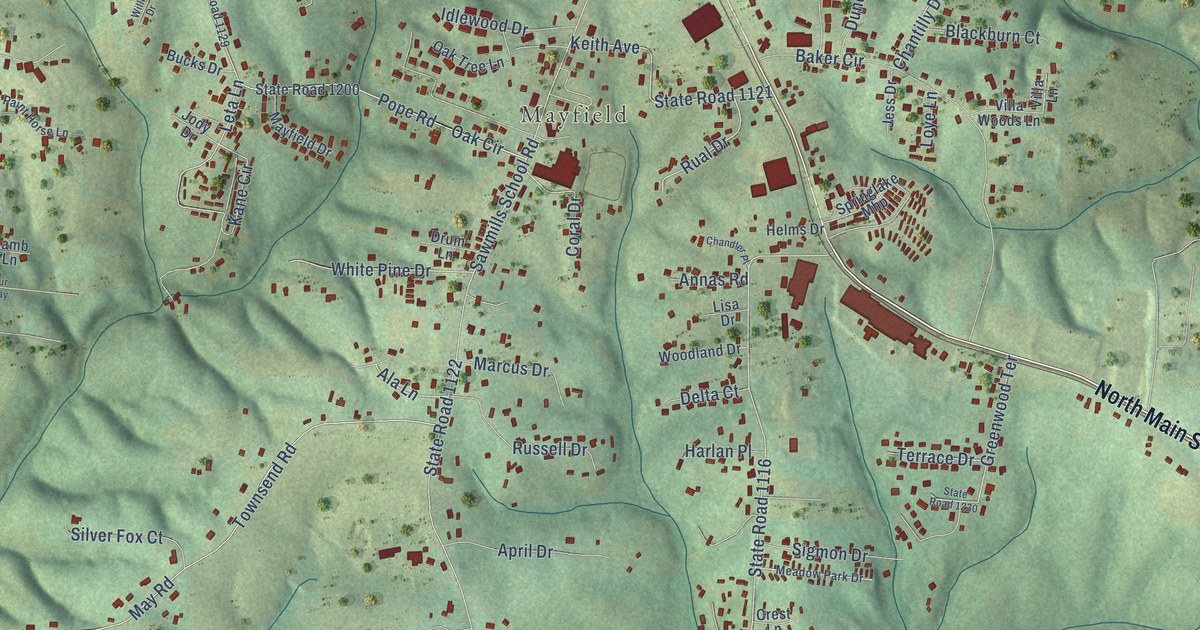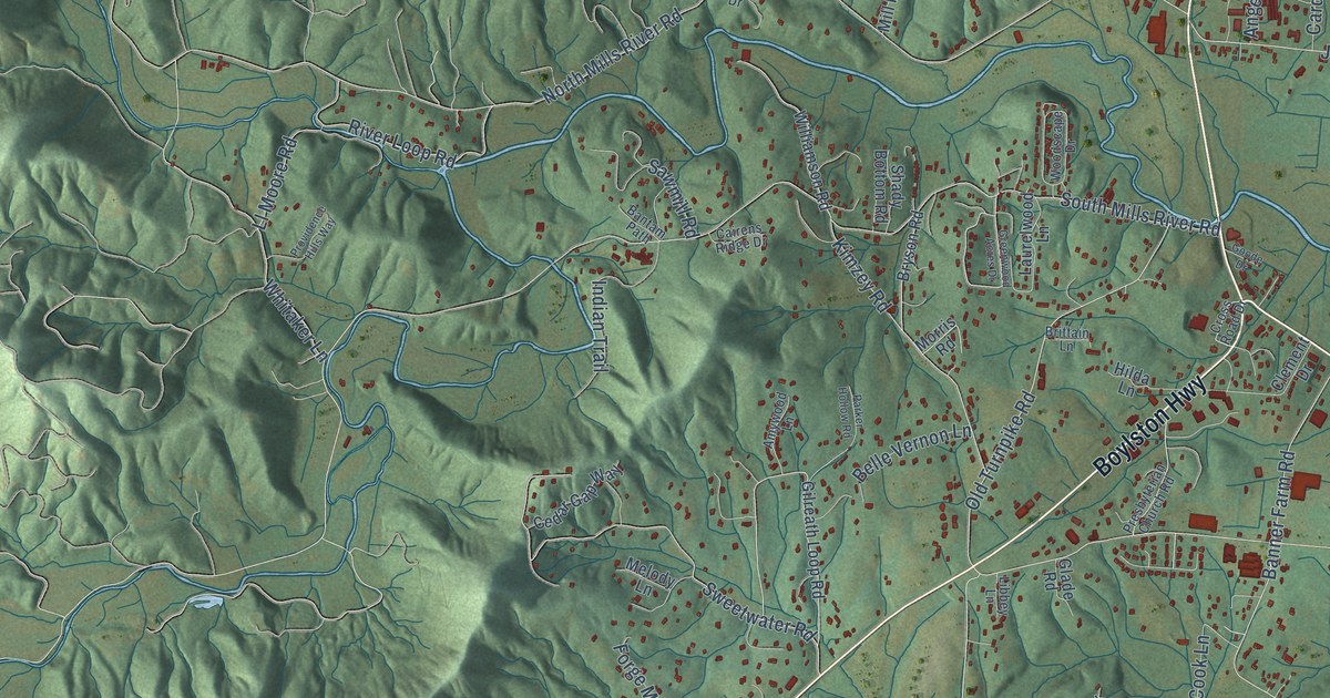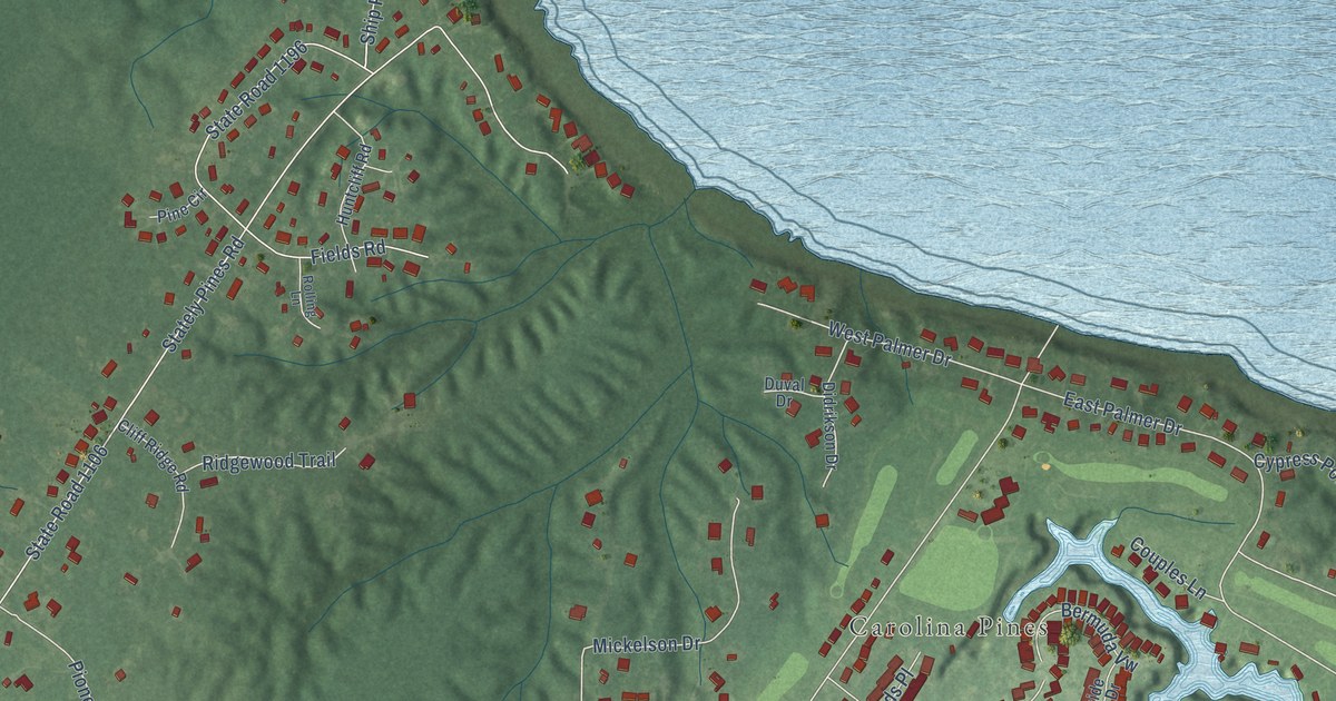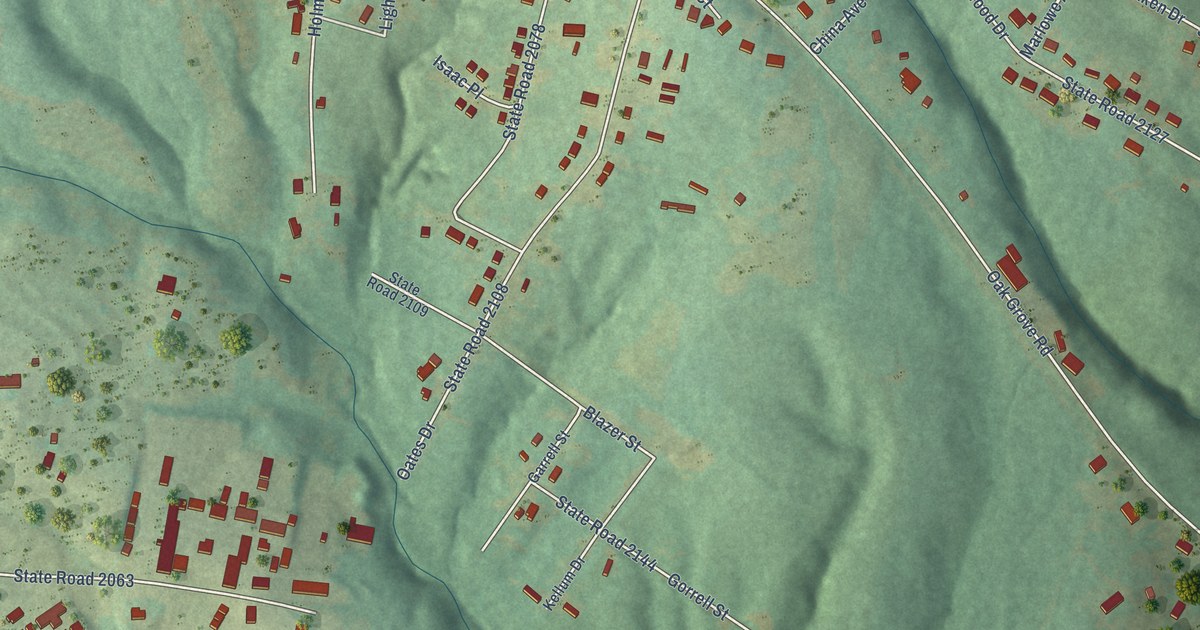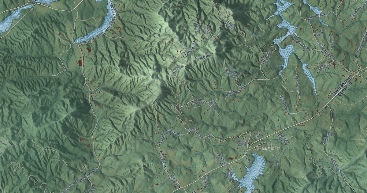
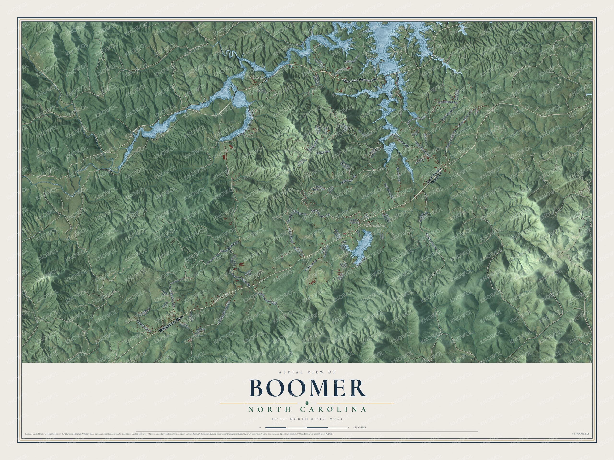
This beautifully detailed map of Boomer, North Carolina was created in 2026 using aerial imagery combined with modern topographical, census, street and landmark data. It’s a one-of-a-kind view of Boomer that combines accurate data with a vintage aesthetic. The map shows every building in its true location, many of the roads carry their names, and the shaded topographic relief shows the shape of the land.
Explore an aerial view of Boomer, North Carolina
On the map you’ll find Oakdale, Thankful, and Ridge Run, along with Wilkesboro Boulevard, High Rock Road, Andrews Road, Gunters Hill Road, State Road 1117, State Road 1130, State Road 1125, Thankful Church Road, Walshtown Road, and more. If you look closely you can even find your house accurately drawn in its correct location. Zoom in on the preview to look for yours.
Did You Know?
From Internet Archive: "Large areas are found in the eastern part near Ronda, Benham, and Traphill, and in the southern and western sections near Moravian Falls, Mount Carmel Church, Boomer, Hays Arbor, Purlear, and Elkville."
Boomer is a community in Wilkes County.
Take a closer look at the Boomer map
Names on this map
These names are printed on this map.
Places: Oakdale and Thankful.
Streets and roads: Wilkesboro Boulevard, High Rock Road, Andrews Road, Gunters Hill Road, State Road 1117, State Road 1130, State Road 1125, Thankful Church Road, Ridge Run, Walshtown Road, Beaver Creek Road, State Road 1114.
More street names, A to Z
Ashlen Road, Boomer Road, Boone Gap Road, Brace Lane, Bruno Lane, Bud West Road, Campground, Ch Place, Cloverfield Place, Eaker Lane, Fallview Road, Finch Lane, Foster Payne Road, Glenn Carlton Road, Greenfield Place, Grier Trail, Happy Oaks Lane, Happy Trails Lane, Herring Ridge, Herring Ridge Road, Hollow Springs Circle, Livingston Road, Lonesome Dove Trail, Mars Mountain Trail, Morning Glory Lane, Mountain Lake Drive, Nora McGee Road, Old High Rock Road, Pearson Mountain Road, Phillips Road, Pumpkin Creek Road, Ridge Run Road, Rose Brier Road, Seth Walsh Road, South Boomer Center Road, State Road 1116, State Road 1119, State Road 1121, State Road 1122, State Road 1123, State Road 1126, State Road 1128, State Road 1129, State Road 1131, State Road 1137, State Road 1180, State Road 1187, State Road 1222, State Road 1554, State Road 1700, State Road 1701, Sweetwater, Thunder Road, Walkaway Place, Walnut Ridge Road, Warrior Lane, West State Highway 268, Winnie Lane, Yellow Bird Lane.
See it on a wall
The Boomer map as a framed print. Swipe for more.


This beautifully detailed map of Boomer makes an attractive addition to your office, library, or den, and it can even be used to teach children the geography and history of the area. It also makes a great gift for anyone with Boomer roots. When you’re done exploring, click here to get your copy of the Boomer map.