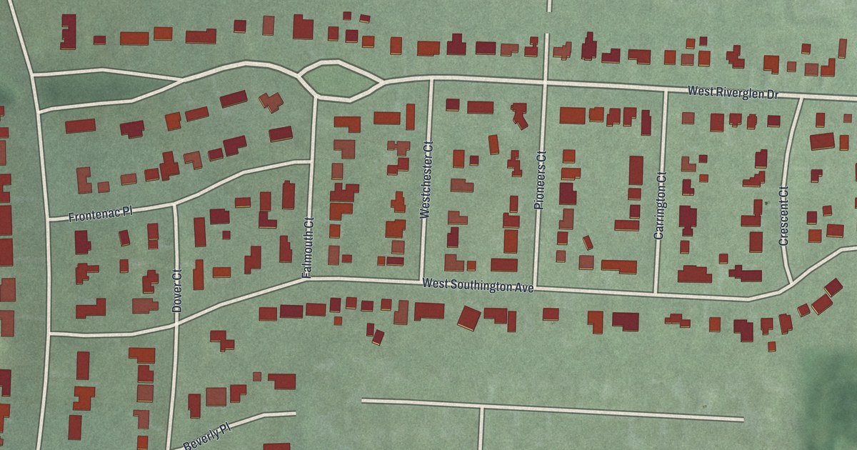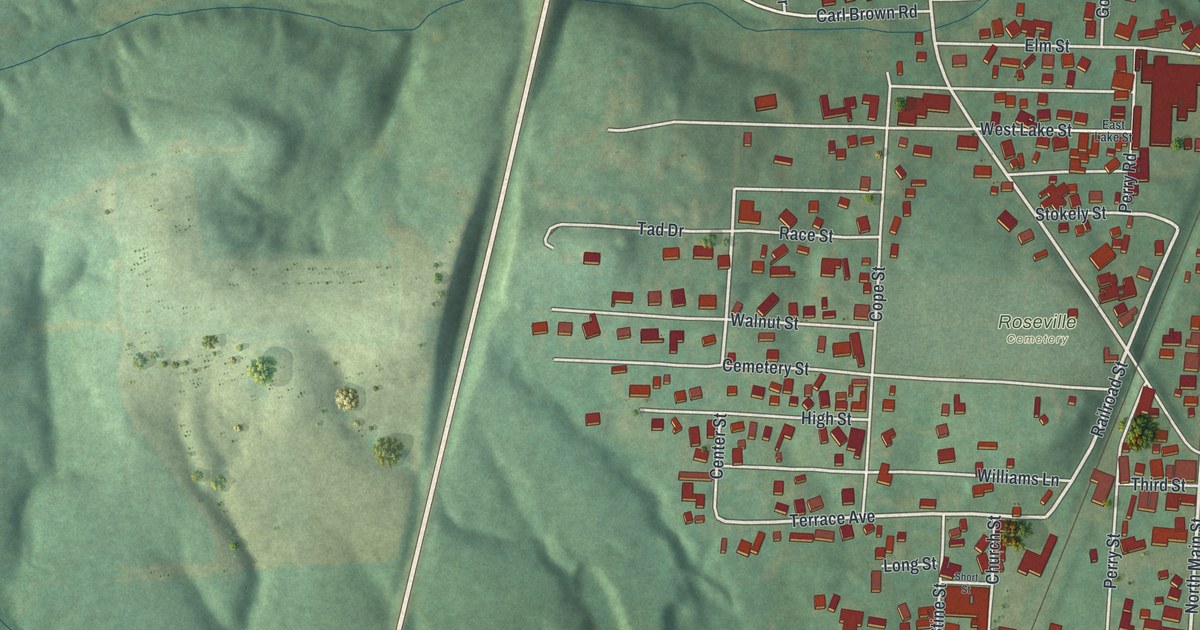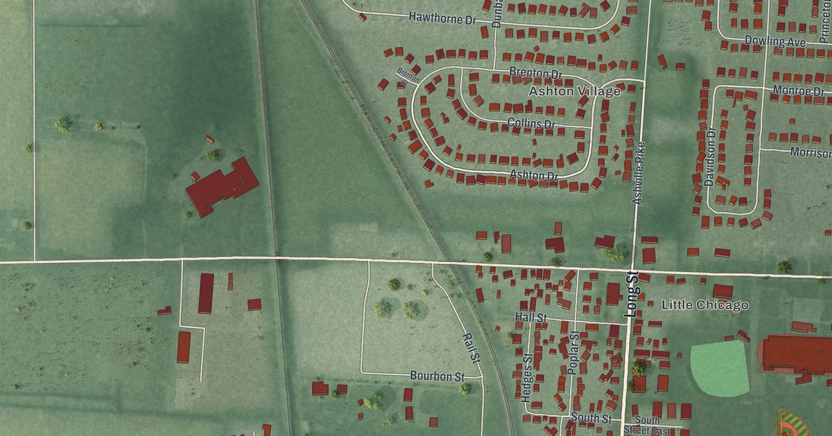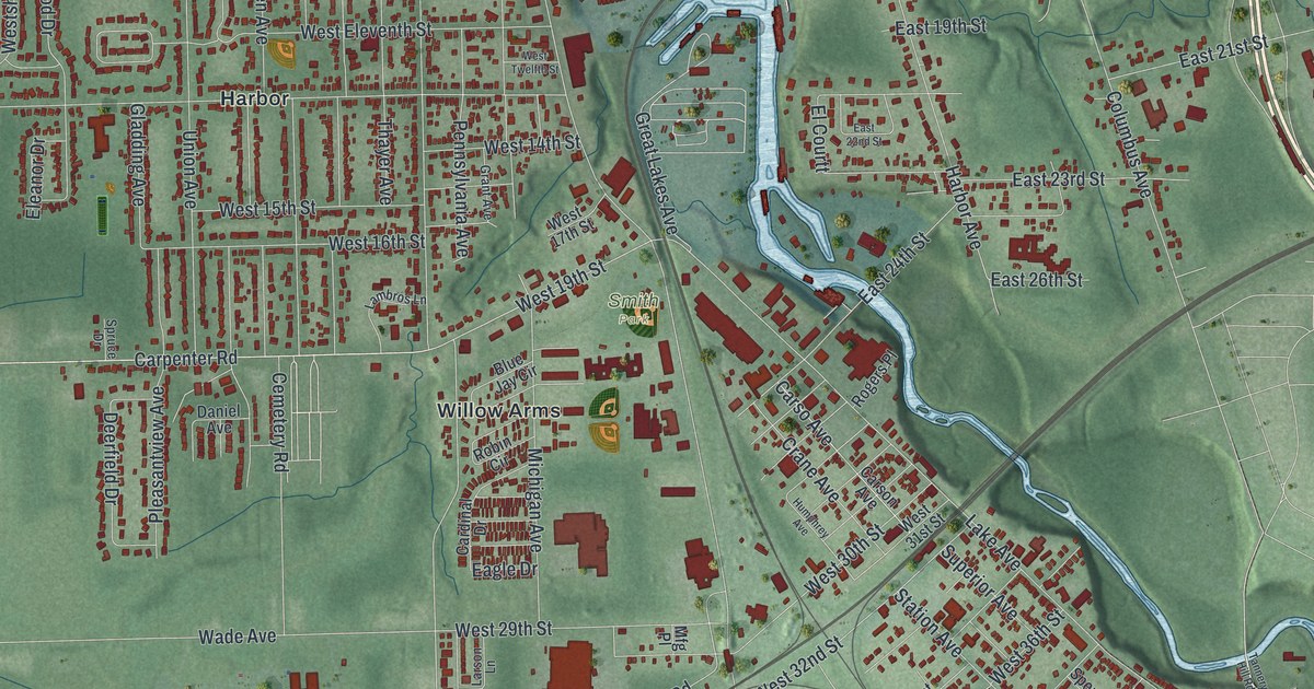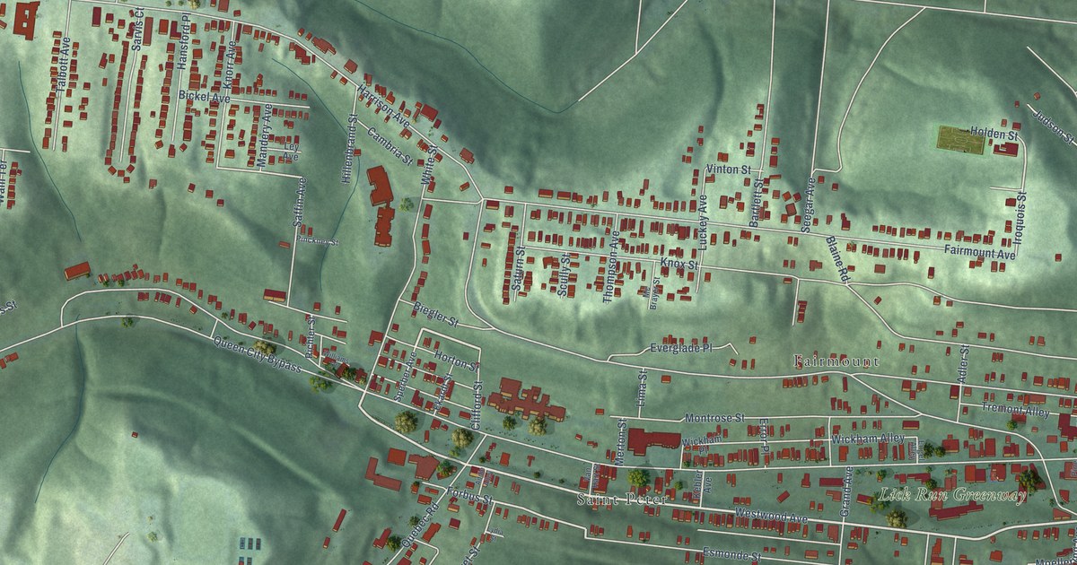
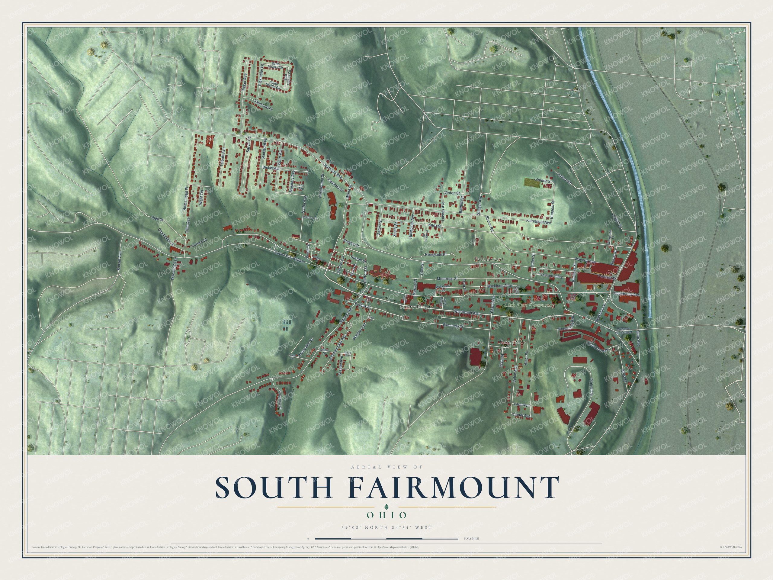
This beautifully detailed map of South Fairmount, Ohio was created in 2026 using aerial imagery combined with modern topographical, census, street and landmark data. It’s a one-of-a-kind view of South Fairmount that combines accurate data with a vintage aesthetic. The map shows every building in its true location, many of the roads carry their names, and the shaded topographic relief shows the shape of the land.
Explore an aerial view of South Fairmount, Ohio
On the map you’ll find Lick Run Greenway, Saint Peter, Barrsville, and Fairmount, along with Westwood Avenue, Moellering Avenue, Lionel Avenue, Margaret Street, Forbus Street, Fairmount Avenue, Iroquois Street, Queen City Avenue, and more. If you look closely you can even find your house accurately drawn in its correct location. Zoom in on the preview to look for yours.
Take a closer look at the South Fairmount map
Names on this map
These names are printed on this map.
Places: Lick Run Greenway, Saint Peter, Barrsville and Fairmount.
Streets and roads: Westwood Avenue, Moellering Avenue, Lionel Avenue, Margaret Street, Forbus Street, Fairmount Avenue, Iroquois Street, Queen City Avenue, Harrison Avenue, Knox Street, Quebec Road, Montrose Street.
More street names, A to Z
Addie Alley, Adler Street, Alexander Street, Amor Place, Baker Avenue, Bartlett Street, Beekman Street, Bickel Avenue, Biegler Street, Blaine Road, Bloom Street, Cambria Street, Carnes Street, Champlain Street, Clara Street, Clifford Street, East Teralta Circle, Ekardt Street, Engel Alley, Ernst Street, Error Place, Esmonde Street, Everglade Place, Faehr Avenue, Graebe Avenue, Grand Avenue, Hansford Place, Hiawatha Avenue, High Street, Hillenbrand Street, Holden Street, Homestead Place, Horton Street, Jonte Avenue, Jonte Street, Judson Street, Kebler Avenue, Knorr Avenue, Lane Avenue, Ley Avenue, Liddell Street, Lima Street, Luckey Avenue, Lydia Street, Mandery Avenue, Mc Brayer Street, Merton Street, North Teralta Circle, Pickmeier Lane, Pinckney Street, Pine Alley, Pinetree Street, Provincial Court, Queen City Bypass, Radcliff Drive, Richter Street, Saffin Avenue, Saint Leo Place, Sarvis Court, Saturn Street, Schoedinger Avenue, Scully Street, Seegar Avenue, Selim Avenue, South Teralta Circle, Sperber Avenue, State Avenue, Sunset Avenue, Talbott Avenue, Thompson Avenue, Tillie Avenue, Tremont Alley, Tremont Street, Van Hart Street, Vinton Street, Wahl Terrace, Waveland Place, Waverly Avenue, Western Hls Viaduct, White Street, Wickham Alley, Wickham Place, Williams Court, Wyoming Avenue.
See it on a wall
The South Fairmount map as a framed print. Swipe for more.


This beautifully detailed map of South Fairmount makes an attractive addition to your office, library, or den, and it can even be used to teach children the geography and history of the area. It also makes a great gift for someone who left South Fairmount and still calls it home. When you’re done exploring, click here to get your copy of the South Fairmount map.