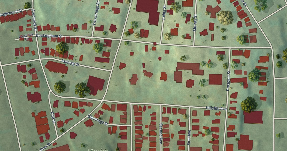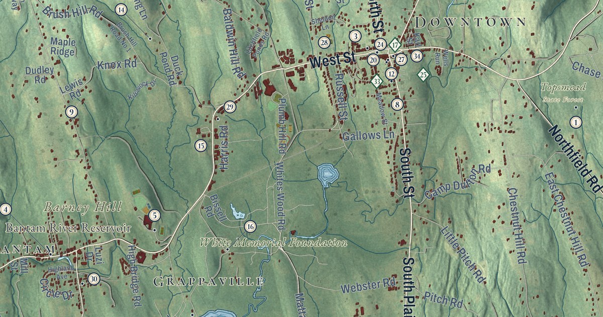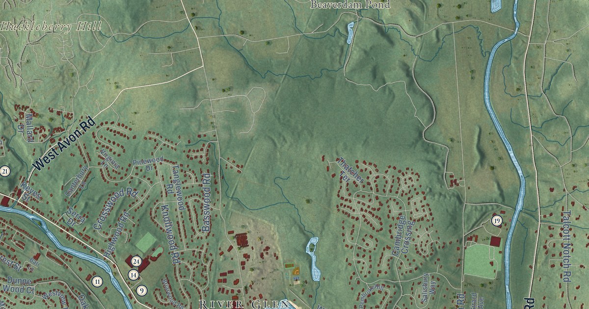
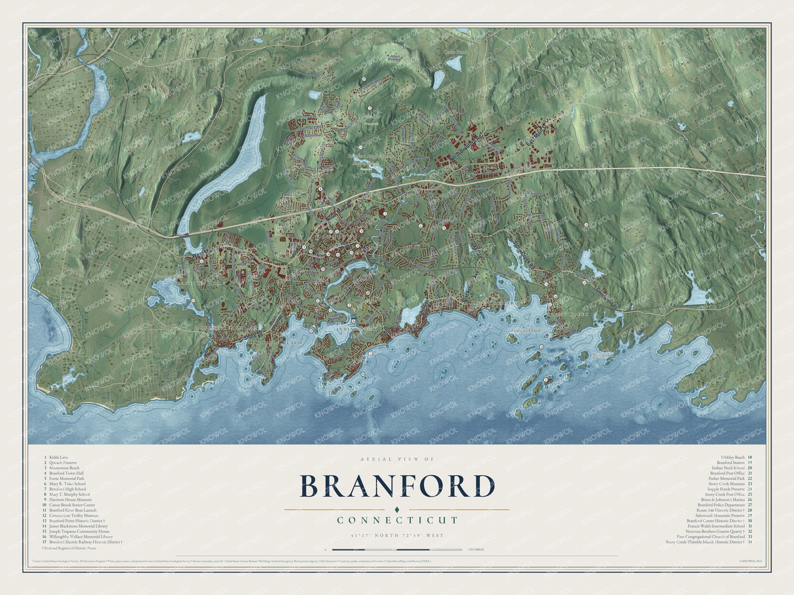
This beautifully detailed map of Branford, Connecticut was created in 2026 using aerial imagery combined with modern topographical, census, street and landmark data. It’s a one-of-a-kind view of Branford that combines accurate data with a vintage aesthetic. The map shows every building in its true location, many of the roads carry their names, and the shaded topographic relief shows the shape of the land.
See it on a wall
The Branford map as an 18 x 24 inch print in a black frame.

Explore an aerial view of Branford, Connecticut
On the map you’ll find Downtown, Short Beach, Branford Hills, Stony Creek, Andrews Island, Beacon Hill, Bear Island, Branford Supply Ponds, Cedar Pond, Queach Preserve, Supply Ponds Preserve, Indian Neck, and more. If you look closely you can even find your house accurately drawn in its correct location. Zoom in on the preview to look for yours. Click here to learn more about the history of Branford.
Take a closer look at the Branford map
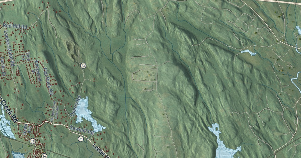
Click to explore a larger preview. The digital watermark does not appear on printed maps.
Names on this map
These names are printed on this map.
Places: Downtown, Short Beach, Branford Hills, Stony Creek, Andrews Island, Beacon Hill, Bear Island, Branford Supply Ponds, Cedar Pond, Queach Preserve, Supply Ponds Preserve, Indian Neck, Pine Orchard and Double Beach.
Streets and roads: Stony Creek Road, Shore Drive, Totoket Road, Blackstone Avenue, East Main Street, West Main Street, North Main Street, North Branford Road, Pine Orchard Road, Leetes Island Road, Hosley Avenue, Brushy Plain Road.
More street names, A to Z
Aceto Street, Acorn Road, Alps Road, Ark Road, Austin Ryer Lane, Autumn Ridge Road, Avon Road, Beechwood Road, Birch Road, Block Island Road, Bradley Street, Branford Con, Briarwood Lane, Brookhills Road, Burban Drive, Bus Park Drive, Buttermilk Lane, Cedar Street, Cherry Hill Circle, Cherry Hill Road, Chestnut Street, Circle Drive, Clam Island, Clark Avenue, Club Parkway, Conifer Drive, Court Street, Damascus Road, Deforest Drive, Dominican Road, Dorr Street, Driscoll Road, East Industrial Drive, Elm Street, Ely Street, Featherbed Lane, Fern Lane, Ferry Lane, Flat Rock Road, Flat Rock Road Extended, Flax Mill Road, Florence Road, Frank Street, Gentile Place, Goodsell Point Road, Gould Lane, Griffing Pond Road, Grove Street, Harbor Street, Helen Road, Hemlock Road, Heritage Hill Road, Hickory Hill Lane, Hilltop Drive, Hotchkiss Grove Road, Howd Avenue, Indian Neck Avenue, Ivy Street, Jefferson Road, Johnsons Point Road, Killams Point, Knollwood Drive, Lantern View Drive, Laurel Hill Road, Limewood Avenue, Linden Avenue, Linden Shores, Linsley Street, Main Street, Maple Street, Matthew Road, Meadow Street, Medley Lane, Melrose Avenue, Mill Plain Road, Millwood Drive, Milo Drive, Montowese Street, Montoya Drive, Newton Road, Northford Road, North Ivy Street, Oakgate Drive, Old Hickory Lane, Orchard Hill Road, Parish Farm Road, Patrick Lane, Pawson Road, Pent Road, Pleasant Point Road, Prospect Hill Road, Quarry Dock Road, Quarry Road, Queach Road, Ramblewood Drive, Red Hill Road, Red Rock Road, Riverside Drive, Riverwalk, Rock Street, Rose Hill Road, Sandra Drive, Sawmill Road, School Ground Road, Short Beach Road, Short Rocks Road, Side Hill Road, Soffer Place, South Main Street, Spring Road, Spring Rock Road, Stannard Avenue, Sunset Beach Road, Sunset Hill Drive, Surrey Lane, Swift Street, Sybil Avenue, Sylvia Street, Tabor Drive, Thimble Island Road, Thoreau Road, Tilcon Road, Todds Hill Road, Toole Drive, Valley Brook Road, Watch Hill Road, Waverly Park Road, West End Avenue, Whitewood Drive, Whiting Farm Road, Wildwood Drive, Windmill Hill Road, Wood Road, Woodvale Road, Yowago Avenue.
This beautifully detailed map of Branford makes an attractive addition to your office, library, or den, and it can even be used to teach children the geography and history of the area. It also makes a great gift for someone who left Branford and still calls it home. When you’re done exploring, click here to get your copy of the Branford map.