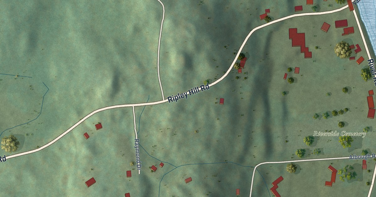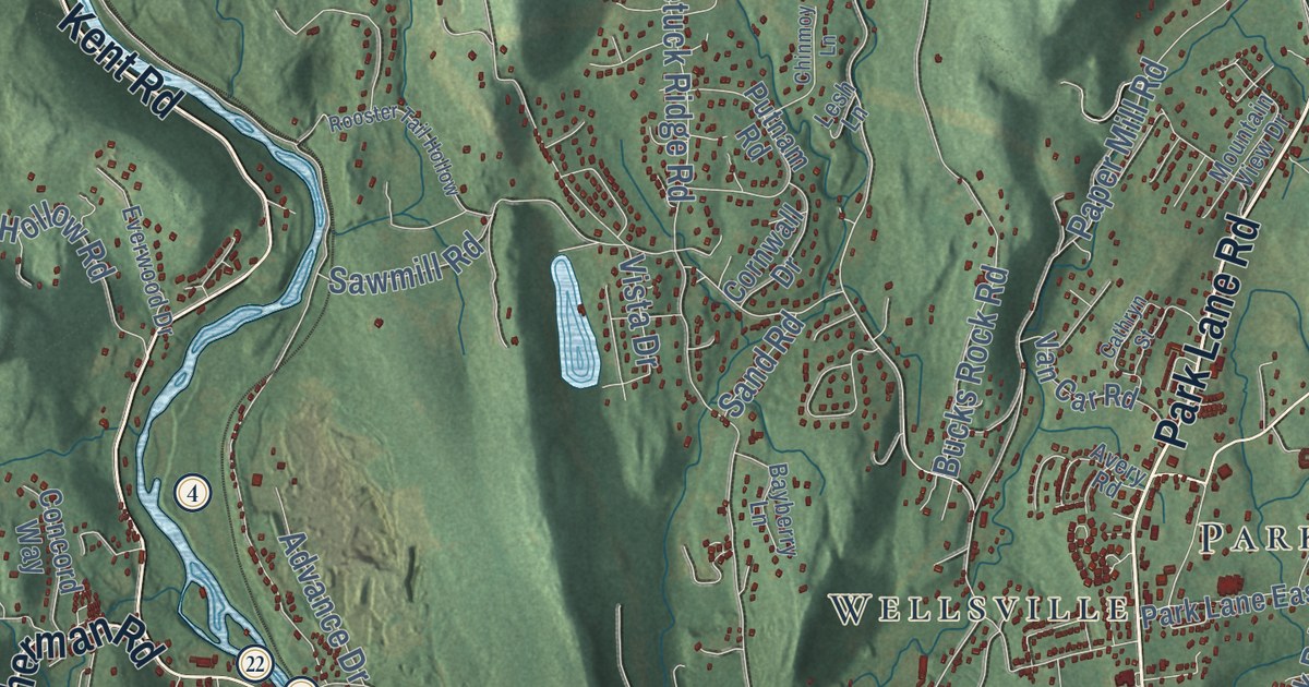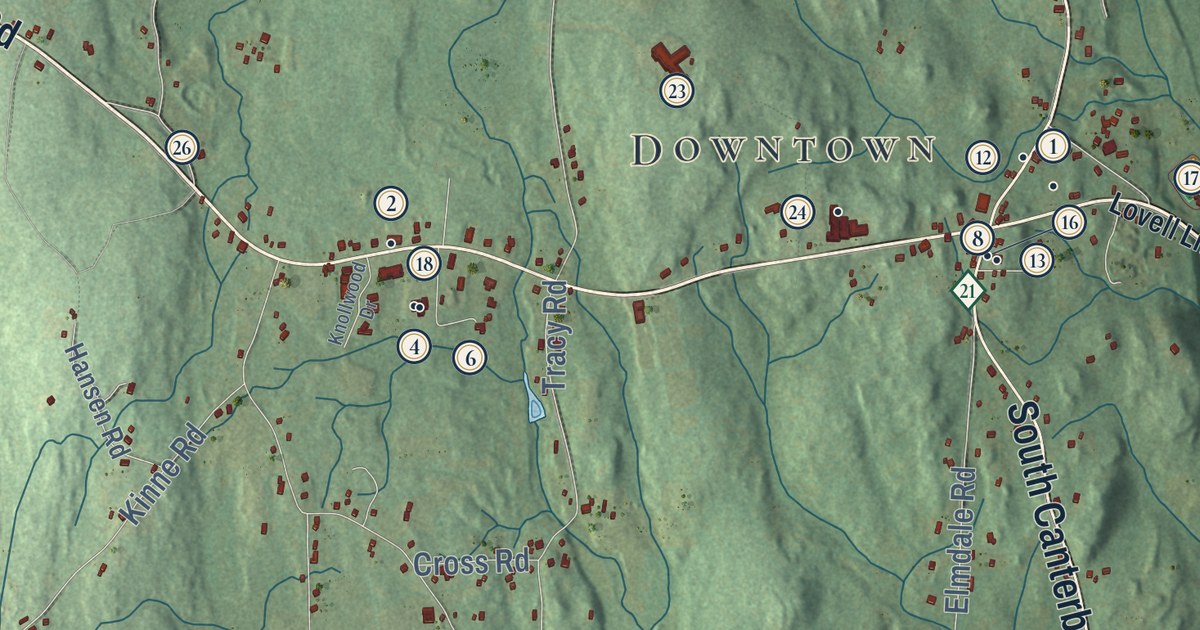
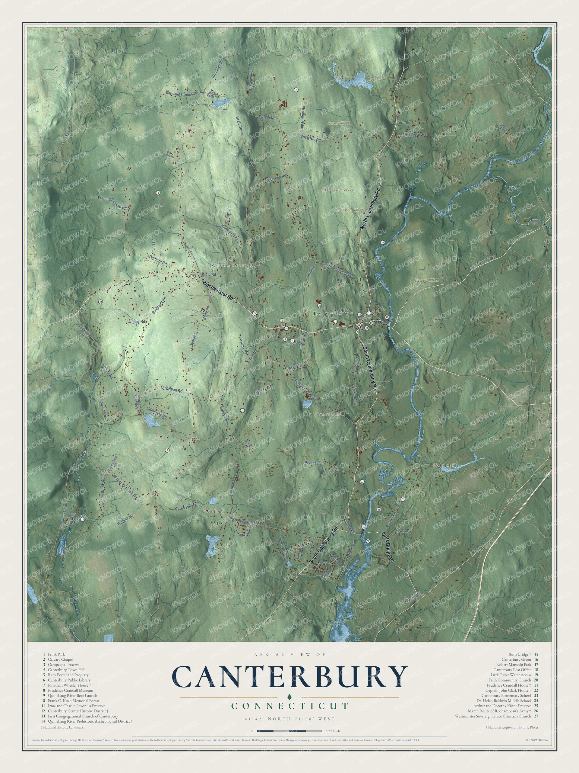
This beautifully detailed map of Canterbury, Connecticut was created in 2026 using aerial imagery combined with modern topographical, census, street and landmark data. It’s a one-of-a-kind view of Canterbury that combines accurate data with a vintage aesthetic. The map shows every building in its true location, many of the roads carry their names, and the shaded topographic relief shows the shape of the land.
See it on a wall
The Canterbury map as an 18 x 24 inch print in a black frame.

Explore an aerial view of Canterbury, Connecticut
On the map you’ll find Downtown, Packer, Westminster, Black Hill, Buck Hill, Morgan Hill, North Hill, Bates Pond, and Bennett Pond, along with Westminster Road, South Canterbury Road, North Canterbury Road, and more. If you look closely you can even find your house accurately drawn in its correct location. Zoom in on the preview to look for yours. Click here to learn more about the history of Canterbury.
Take a closer look at the Canterbury map
Click to explore a larger preview. The digital watermark does not appear on printed maps.
Names on this map
These names are printed on this map.
Places: Downtown, Packer, Westminster, Black Hill, Buck Hill, Morgan Hill, North Hill, Bates Pond and Bennett Pond.
Streets and roads: Westminster Road, South Canterbury Road, North Canterbury Road, Butts Bridge Road, Maple Lane, Woodchuck Hill Road, Bates Pond Road, Hanover Road, Gay Head Road, Water Street, North Society Road, Lisbon Road.
More street names, A to Z
Ayers Drive, Baldwin Brook Road, Barstow Road, Bennett Pond Road, Bingham Road, Bingham Road No 2, Bopp Road, Brooklyn Road, Buck Hill Road, Buntz Road, Cemetery Road, Colburn Road, Corey Road, Creasey Road, Cross Road, Depot Road, Depot Road Extended, Elmdale Road, Emily Lane, Finn Road, Francis Bennett Road, Garosshen Road, Goodwin Road, Gooseneck Hill Road, Graff Road, Hannover Road, Hansen Road, Hoopers Lane, Howe Road, Jimmy Road, John Brook Road, Kerr Road, Kinne Road, Kitt Road, Knollwood Drive, Liepis Road, Lisa Lane, Little River Lane, Lovell Lane, Marion Lane, Meadow Lane, Miller Road, Mudhole Road, Old Hampton Road, Packer Road, Phinney Lane, Raymond Schoolhouse Road, Shagbark Lane, Short Road, Tarbox Road, Tracy Road, Tripp Hollow Road, Ulasik Road, Walker Road, Wauregan Road, Willowbrook Lane, Willow Lane, Wright Pond Road, Wright Road.
This beautifully detailed map of Canterbury makes an attractive addition to your office, library, or den, and it can even be used to teach children the geography and history of the area. It also makes a great gift for anyone who grew up in Canterbury or moved away. When you’re done exploring, click here to get your copy of the Canterbury map.