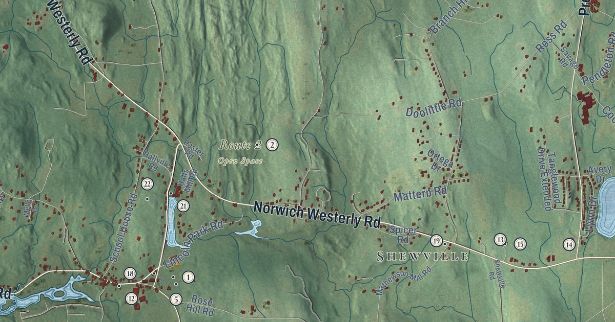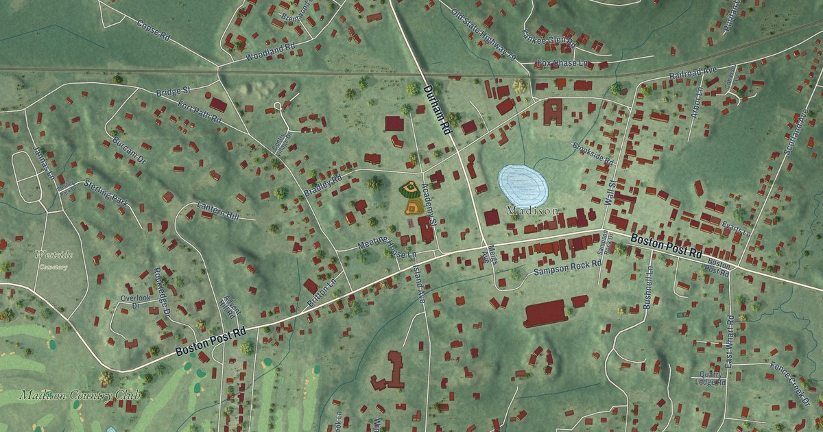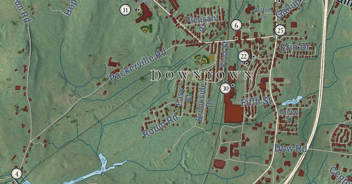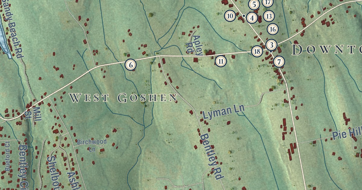
This beautifully detailed map of Goshen, Connecticut was created in 2026 using aerial imagery combined with modern topographical, census, street and landmark data. It’s a one-of-a-kind view of Goshen that combines accurate data with a vintage aesthetic. The map shows every building in its true location, many of the roads carry their names, and the shaded topographic relief shows the shape of the land.
See it on a wall
The Goshen map as an 18 x 24 inch print in a black frame.

Explore an aerial view of Goshen, Connecticut
On the map you’ll find Downtown, North Goshen, Kelly Corner, West Goshen, Bartholomew Hill, Beech Hill, Brandy Hill, Brass Mountain, Cunningham Pond, and Mohawk State Forest, along with North Street, Old Middle Street, and more. If you look closely you can even find your house accurately drawn in its correct location. Zoom in on the preview to look for yours. Click here to learn more about the history of Goshen.
Take a closer look at the Goshen map
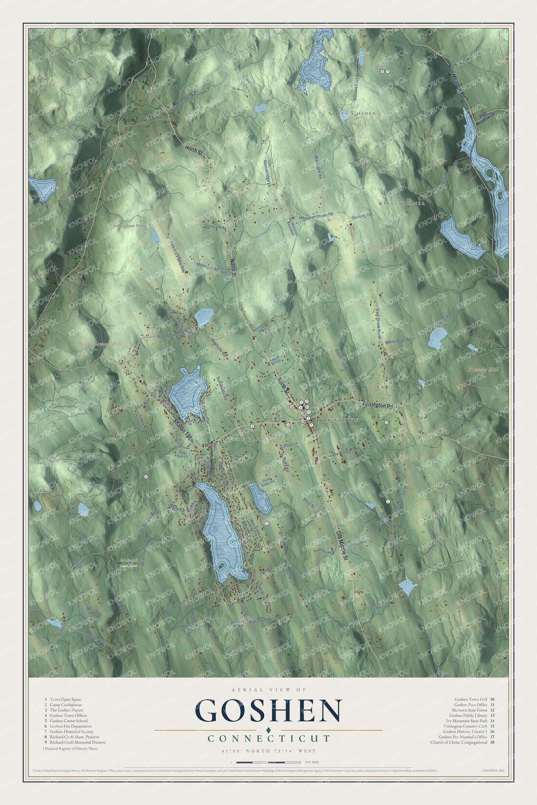
Click to explore a larger preview. The digital watermark does not appear on printed maps.
Names on this map
These names are printed on this map.
Places: Downtown, North Goshen, Kelly Corner, West Goshen, Bartholomew Hill, Beech Hill, Brandy Hill, Brass Mountain, Cunningham Pond and Mohawk State Forest.
Streets and roads: North Street, Old Middle Street, Sharon Turnpike, Torrington Road, Hall Meadow Road, Sterling Road, Crossman Road, Westside Road, Kubish Road, East Street North, Milton Road, North Goshen Road.
More street names, A to Z
Allyn Road, Apley Road, Ashley Drive, Bare Hill Road, Bartholomew Hill Road, Beach Street, Bear Swamp Road, Beech Hill Road, Bentley Circle, Bentley Road, Birchwood Lane, Blackland Road, Breguet Road, Bruno Road, Brush Hill Road, Brynmoor Court, Brynmoor Drive, Bueford Court, Cass Hill Road, Center Road, Deer Run Lane, Deming Road, East Cornwall Road, East Hyerdale Drive, East Street South, Eli Bunker Road, Goshen East Street, Gray Lane, Hageman Shean Road, Hall Meadow Lane, Hemlock Hill Road, Hillhouse Road, Hilltop Drive, Holmes Road, Ives Road, Ivy Mountain Extended, Jakes Road, Laurel Hill Lane, Lucas Road, Lyman Lane, Mill Street, Newcomb Road, Park Road, Paxton Court, Pie Hill Road, Pond Ridge Road, Reservoir Road, Rock House Road, Rockwall Court, Sandy Beach Road, School Hill Road, Seeley Lane, Seeley Road, Shear Shop Road, Shelbourne Drive, Sherbrook Drive, State Forest Road, Stonebridge Lane, Sucker Brook Road, Tamarack Lane, Thompson Road, Town Hill Road, Turkey Hollow Lane, Weldon Court, Wellsford Drive, West Hyerdale Drive, West Street, Whist Pond Road.
This beautifully detailed map of Goshen makes an attractive addition to your office, library, or den, and it can even be used to teach children the geography and history of the area. It also makes a great gift for anyone with Goshen roots. When you’re done exploring, click here to get your copy of the Goshen map.