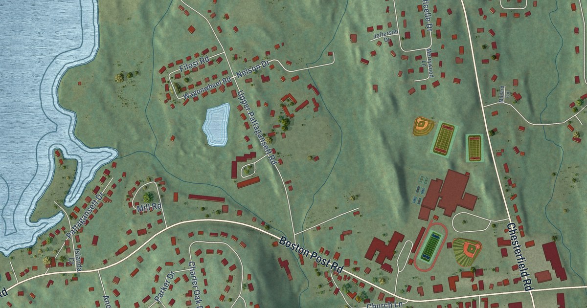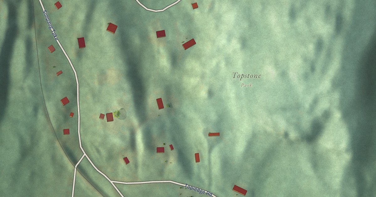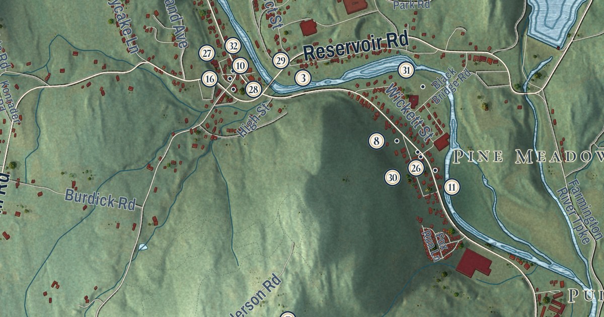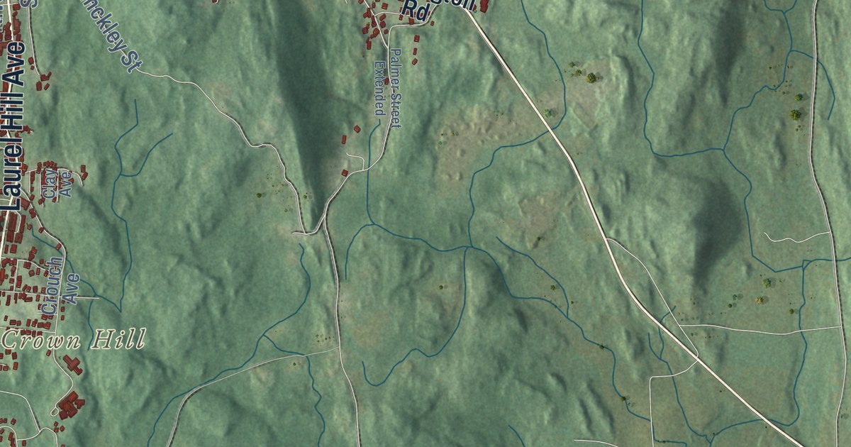
This beautifully detailed map of Norwich, Connecticut was created in 2026 using aerial imagery combined with modern topographical, census, street and landmark data. It’s a one-of-a-kind view of Norwich that combines accurate data with a vintage aesthetic. The map shows every building in its true location, many of the roads carry their names, and the shaded topographic relief shows the shape of the land.
See it on a wall
The Norwich map as an 18 x 24 inch print in a black frame.

Explore an aerial view of Norwich, Connecticut
On the map you’ll find Downtown, Occum, Thamesville, Backus Corner, Crown Hill, East Great Plain, Fox Hill, Hearthstone Hill, Blissville Pond, Bog Meadow Reservoir, Mohegan Park, Rogers Road Open Space, and more. If you look closely you can even find your house accurately drawn in its correct location. Zoom in on the preview to look for yours. Click here to learn more about the history of Norwich.
Take a closer look at the Norwich map
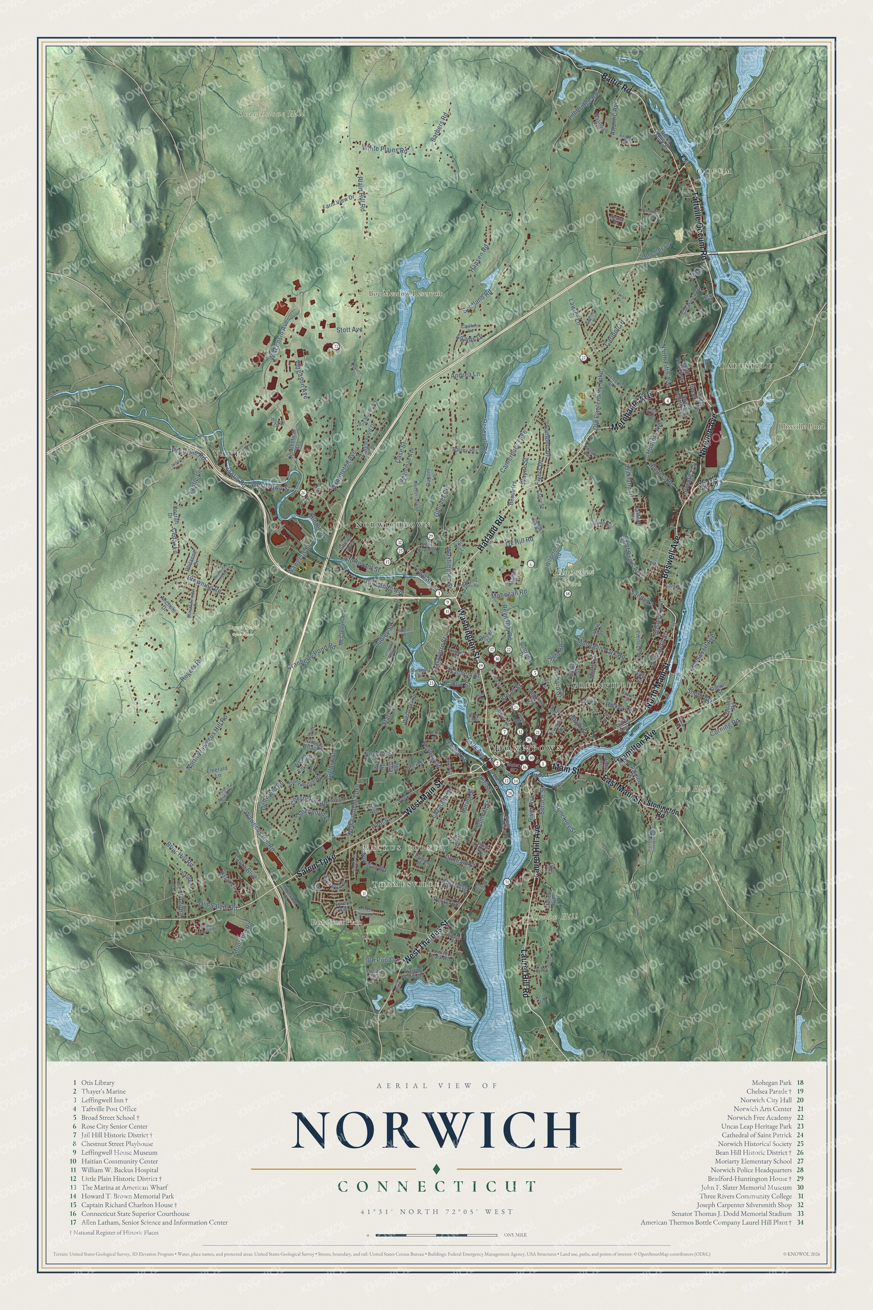
Click to explore a larger preview. The digital watermark does not appear on printed maps.
Names on this map
These names are printed on this map.
Places: Downtown, Occum, Thamesville, Backus Corner, Crown Hill, East Great Plain, Fox Hill, Hearthstone Hill, Blissville Pond, Bog Meadow Reservoir, Mohegan Park, Rogers Road Open Space, Yantic, Norwichtown, Greenville, Taftville and Turnpike Park.
Streets and roads: Taftville Occum Road, Washington Street, Main Street, East Main Street, Norwich Avenue, Laurel Hill Avenue, Harland Road, Laurel Hill Road, Boswell Avenue, Baltic Road, North Main Street, Merchants Avenue.
More street names, A to Z
15th Street, Adams Drive, Alice Street, Allyn Avenue, Andrea Lane, Annadell Road, Ann Street, Apache Street, Asylum Street, Atlantic Avenue, Bailey Heights, Baltic Street, Barbers Road, Bayberry Hill Road, Beebe Road, Beech Drive, Belval Street, Bog Meadow Road, Bozrah Drive, Briar Hill Road, Briar Lane, Broad Street, Broadway, Bromley Lane, Browning Road, Butternut Drive, Canterbury Turnpike, Carey Lane, Caribou Drive, Case Street, Caulkins Road, Cedar Lane, Cedar Street, Center Drive, Central Avenue, Cherry Hill Road, Clay Avenue, Clearview Drive, Clifton Place, Clinton Avenue, Coit Lane, Connecticut Avenue, Corning Road, Cranberry Pond Road, Crouch Avenue, Curtis Street, Daniel Street, Dellwood Road, Division Street, Dudley Street, Dunham Street, Dupont Lane, East Avenue, East Town Street, Eighth Street, Elizabeth Street, Elk Drive, Emerald Lane, Everett Street, Falls Avenue, Farm View Drive, Fifth Street, Fitchville Road, Flyers Drive, Ford Avenue, Forest Street, Gifford Lane, Gifford Street, Glenwood Avenue, Grant Court, Green Briar Road, Gulliver Circle, Hamilton Avenue, Hamilton Court, Hansen Road, Hedge Avenue, Hickory Street, High Street, Hinckley Street, Howard Street, Hunters Avenue, Hunters Road, Huntington Avenue, Jewett City Road, Jones Court, Judd Road, Lafayette Street, Lake Street, Lambert Drive, Larry Street, Laura Boulevard, Lauren Lane, Lawler Lane, Lillibridge Road, Lois Street, Lost Acres Road, Lucas Park Road, Lucas Street, Mahan Drive, Maple Street, Maplewood Court, McClellan Avenue, McKinley Avenue, Mediterranean Lane, Melrose Park Road, Michele Drive, Miriam Road, Mish Drive, Mohegan Park Road, Mohegan Road, Montville Road, Mountainview Drive, Nashua Street, New Concord Drive, New London Turnpike, Newton Street, Nordon Avenue, Norman Road, North Fifth Avenue, North Street, North Third Avenue, North Wawecus Hill Road, Notre Dame Street, Oakland Drive, Oakland Heights, Oakridge Street, Old Canterbury Turnpike, Old Pond Lane, Old Salem Road, Orchard Street, Otrobando Avenue, Ox Hill Road, Palmer Street, Palmer Street Extended, Perry Avenue, Philanne Drive, Pine Street, Plain Hill Road, Pratte Avenue, Prentice Lane, Prentice Street, Prospect Street, Quarto Road, Resevoir Road, Reynolds Road, Ridgewood Drive, River Avenue, Roath Street, Rogers Road, Rollins Road, Roosevelt Avenue, Russell Road, Sabrinas Court, Sachem Plains Road, Sachem Street, Saint Regis Avenue, Salem Turnpike, Sandy Lane, School Street, Scotland Road, Sherman Street, Sherwood Lane, Sholes Avenue, Silver Street, Smith Avenue, South Fourth Avenue, South Second Avenue, South Street, South Thames Street, Spring Garden Avenue, Spring Street, Spruce Street, Starr Street, Stonington Road, Stony Ridge Road, Stott Avenue, Sturtevant Street, Summit Street, Sunrise Street, Sunset Terrace, Surrey Lane, Sylvia Lane, Talman Street, Tanglewood Drive, Tarryk Drive, Taylor Drive, Teddy Lane, Terrace Boulevard, Tetreault Avenue, Tower Hill Road, Town Street, Trading Cove Drive, Tyler Avenue, Tyler Lane, Union Street, Vergason Avenue, Viaduct, Warren Street, Water Street, Wawecus Hill Road, Wawecus Street, Wayne Street, Weber Farm Road, Western Avenue, West Main Street, West Street, West Thames Street, West Town Street, White Plains Road, Wightman Avenue, Wilderness Road, Williams Street, Will Road, Wisconsin Avenue, Woods Drive, Yantic Lane, Yantic Road, Yantic Street.
This beautifully detailed map of Norwich makes an attractive addition to your office, library, or den, and it can even be used to teach children the geography and history of the area. It also makes a great gift for someone who left Norwich and still calls it home. When you’re done exploring, click here to get your copy of the Norwich map.