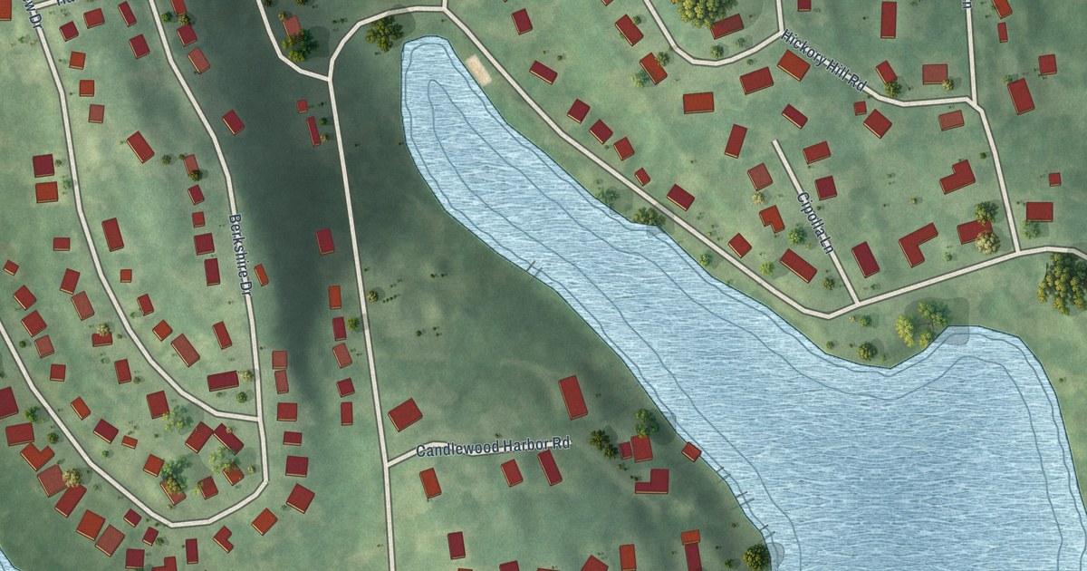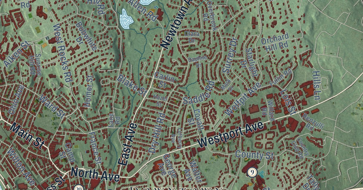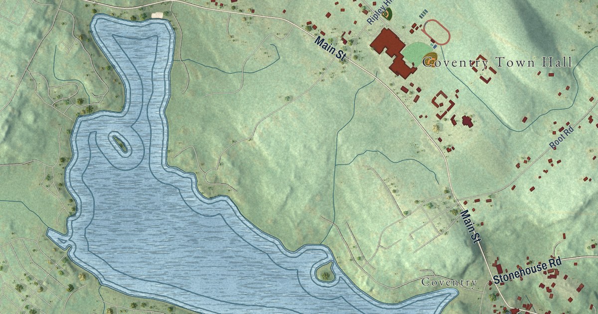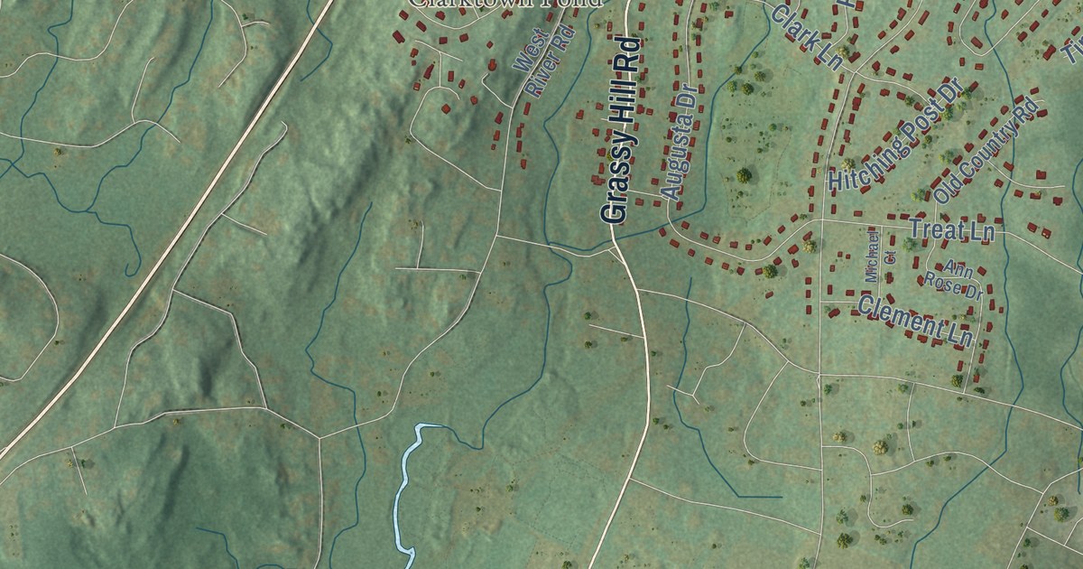
This beautifully detailed map of Orange, Connecticut was created in 2026 using aerial imagery combined with modern topographical, census, street and landmark data. It’s a one-of-a-kind view of Orange that combines accurate data with a vintage aesthetic. The map shows every building in its true location, many of the roads carry their names, and the shaded topographic relief shows the shape of the land.
See it on a wall
The Orange map as an 18 x 24 inch print in a black frame.

Explore an aerial view of Orange, Connecticut
On the map you’ll find Downtown, Buttermilk Hollow, Coram Hill, Grassy Hill, Clark Pond, Clarktown Pond, Racebrook Tract, and Turkey Hill Preserve, along with Grassy Hill Road, Orange Center Road, Derby Avenue, Derby Turnpike, and more. If you look closely you can even find your house accurately drawn in its correct location. Zoom in on the preview to look for yours. Click here to learn more about the history of Orange.
Take a closer look at the Orange map
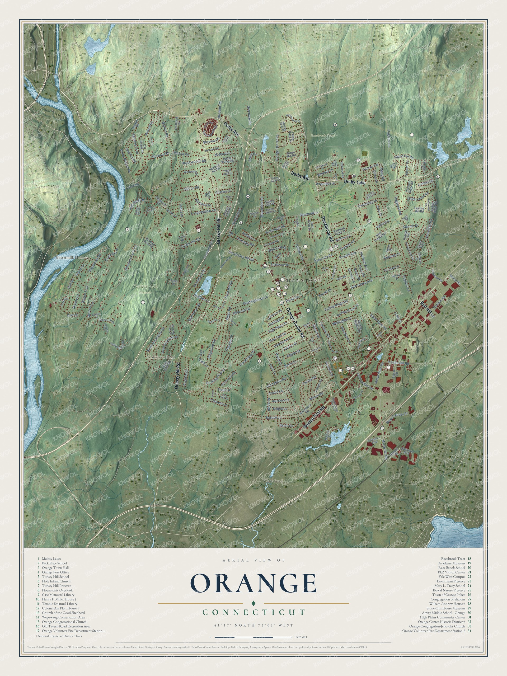
Click to explore a larger preview. The digital watermark does not appear on printed maps.
Names on this map
These names are printed on this map.
Places: Downtown, Buttermilk Hollow, Coram Hill, Grassy Hill, Clark Pond, Clarktown Pond, Racebrook Tract and Turkey Hill Preserve.
Streets and roads: Grassy Hill Road, Orange Center Road, Derby Avenue, Derby Turnpike, Racebrook Road, Boston Post Road, Bull Hill Lane, Indian River Road, Marsh Hill Road, Dogwood Road, Garden Road, Derby Milford Road.
More street names, A to Z
Acorn Road, Alling Farm Road, Alling Road, Alpom Drive, Andrew Lane, Ann Rose Drive, Argyle Road, Arnold Lane, Arrowhead Drive, Aspen Lane, Augusta Drive, Avon Drive, Baldwin Road, Barton Drive, Bayberry Lane, Birchwood Drive, Bishop Drive, Bittersweet Road, Broadview Road, Burning Tree Drive, Butternut Court, Buttonball Road, Carlson Road, Carriage Drive, Cart Lane, Cedar Grove, Center Road Circle, Charles Court, Cherry Hill Road, Chestnut Ridge Road, Clark Lane, Clement Lane, Clover Way, Club Road, College Street, Connair Road, Coram Lane, Country Club Close, Cranberry Lane, Cricket Lane, Crocker Court, Cummings Drive, Currier Drive, David Court, Demarest Drive, Dennis Drive, Dentree Drive, Dogburn Lane, Dogburn Road, Donna Drive, Drummond Road, East Slope Drive, Edison Road, Englewood Drive, Estate Acres Drive, Estelle Court, Executive Boulevard, Fairlea Road, Farm Hill Road, Fawn Drive, Fernbrook Road, Ferry Road, Glenbrook Road, Glen Road, Goldman Road, Golf Road, Grace Trail, Grannis Road, Green Circle, Green Hill Road, Greenway Road, Hall Drive, Halliwell Avenue, Hampton Close Street, Harborview Road, Harvester Road, Hawkins Road, Hawthorne Lane, Haystack Hill Road, Hedgefield Court, Hemlock Drive, Hemlock Hill Road, Herbert Street, Highfield Drive, High Plains Drive, High Ridge Road, Hillcrest Road, Hilltop Road, Hitchcock Court, Hitching Post Drive, Hollow Road, Hotchkiss Road, Howellton Road, Hundred Acre Road, Hunting Hill Road, Hyland Terrace, Indian Hill Road, Janet Lane, Juniper Drive, Kanuga Trail, Karen Drive, Kennedy Drive, Knight Lane, Lambert Road, Laurie Lane, Lincoln Road, Lindy Street, Locust Drive, Longmeadow Road, Luba Drive, Mallard Drive, Manley Heights Road, Mapledale Road, Marble Road, Martin Lane, Meetinghouse Circle, Meetinghouse Lane, Meloy Road, Michael Court, Midland Drive, Miles Road, Morning Glory Road, Mulberry Lane, Narrow Lane, Neenan Street, New England Lane, New Haven Avenue, North Greenbrier Drive, Norwood Drive, Oakview Drive, Oakwood Road, Ohman Avenue, Old Coach Road, Old Country Road, Old Grassy Hill Road, Old Hickory Road, Old Silo Road, Old Tavern Road, Opekun Road, Orchard Road, Pardee Manor Road, Patricia Court, Peck Lane, Pine Tree Drive, Pleasant Hill Road, Porter Lane, Prindle Hill Road, Prudden Lane, Putting Green Lane, Quarter Mile Road, Quintard Lane, Rainbow Trail, Red Cedar Road, Red Fox Road, Ridge Road, Ridgeview Road, Riggs Road, Riverdale Road, Riverside Drive, Robert Treat Drive, Robinson Boulevard, Rogers Road, Rolling Ridge Road, Ross Court, Russell Avenue, Saddle Ridge Road, Saint Johns Drive, Sarah Circle, Saybrook Road, Sheldon Court, Shepherd Lane, Short Road, Skyline Drive, Skyview Road, Smith Farm Road, South Greenbrier Drive, South Lambert Road, South Land Drive, South Orange Center Road, Sportsman Road, Spring Street, Stone Hill Drive, Summit Drive, Sunrise Hill Circle, Sunset Drive, Surrey Drive, Sylvan Valley Road, Tall Timber Road, Taulman Road, Timberlane Drive, Treat Lane, Turkey Hill Road, Tyler City Road, Valleybrook Road, Wagon Trail, Walnut Hill Road, Wellington Drive, Wepawaug Road, West Campus Drive, West River Road, Wheelers Farm Road, Whitney Lane, Wild Rose Drive, Wildwood Drive, Willard Road, Williamsburg Drive, Wilson Road, Wolcott Lane, Woodland Lane, Woodside Drive, Yellow Brick Road, Zak Court.
This beautifully detailed map of Orange makes an attractive addition to your office, library, or den, and it can even be used to teach children the geography and history of the area. It also makes a great gift for someone who left Orange and still calls it home. When you’re done exploring, click here to get your copy of the Orange map.