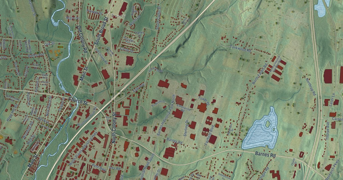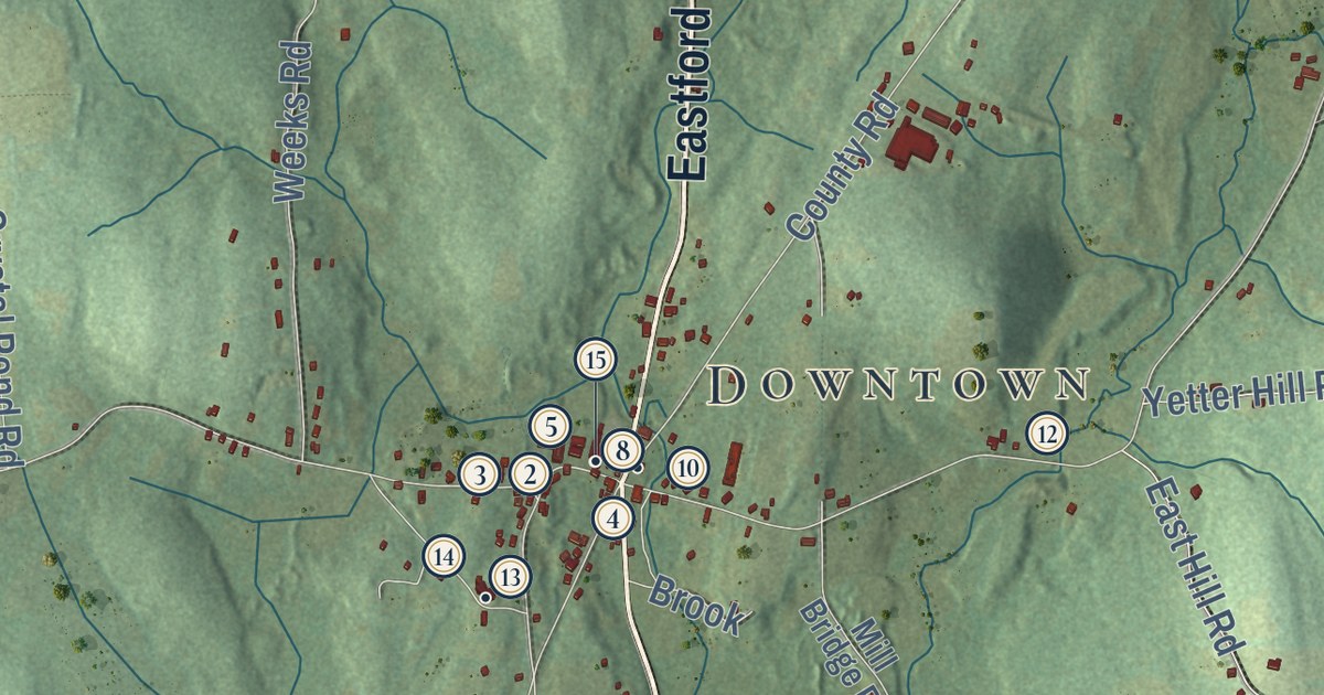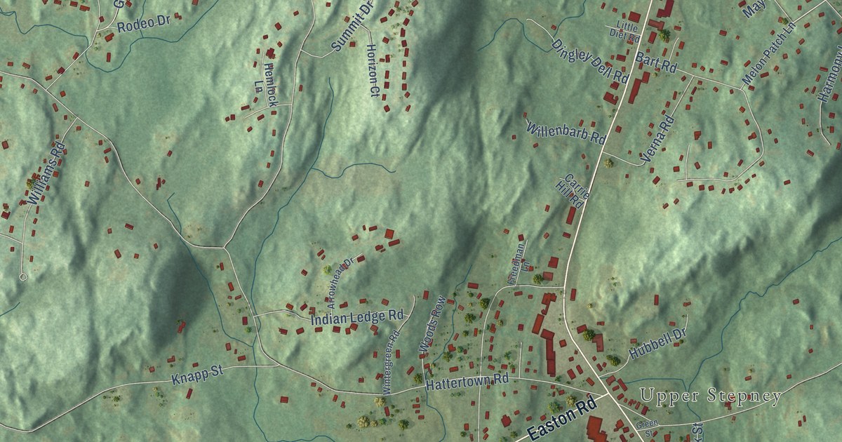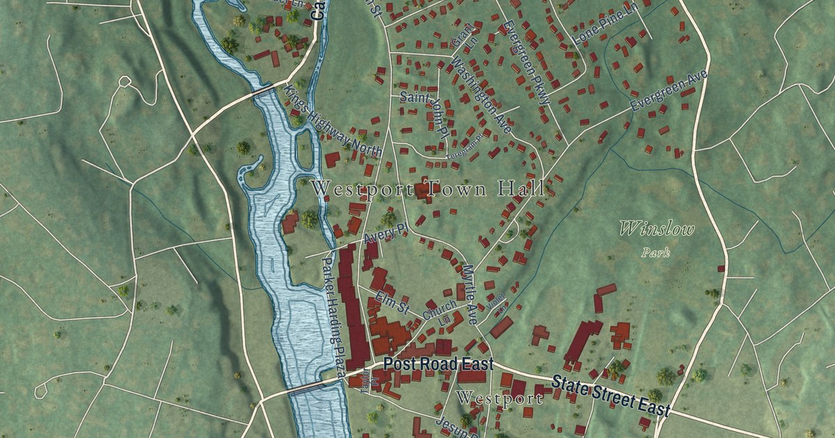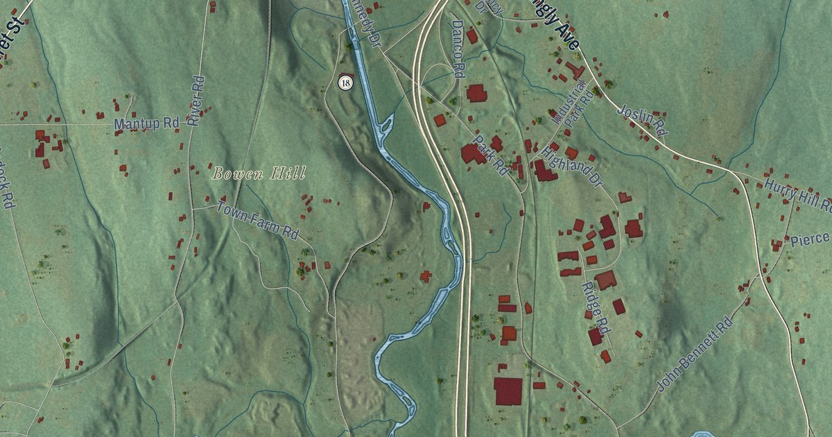
This beautifully detailed map of Putnam, Connecticut was created in 2026 using aerial imagery combined with modern topographical, census, street and landmark data. It’s a one-of-a-kind view of Putnam that combines accurate data with a vintage aesthetic. The map shows every building in its true location, many of the roads carry their names, and the shaded topographic relief shows the shape of the land.
See it on a wall
The Putnam map as an 18 x 24 inch print in a black frame.

Explore an aerial view of Putnam, Connecticut
On the map you’ll find Downtown, East Putnam, Bartholomew Hill, Bates Hill, Bear Hill, Bowen Hill, Aldrich Pond, Ballouville Pond, Chaffee Preserve, Dowell Open Space, Quaddick State Forest, Putnam Heights, and more. If you look closely you can even find your house accurately drawn in its correct location. Zoom in on the preview to look for yours. Click here to learn more about the history of Putnam.
Take a closer look at the Putnam map
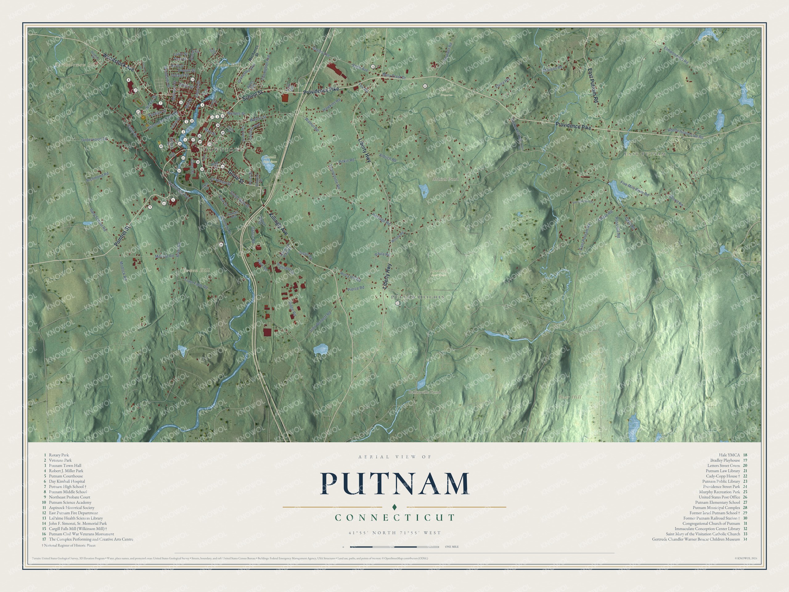
Click to explore a larger preview. The digital watermark does not appear on printed maps.
Names on this map
These names are printed on this map.
Places: Downtown, East Putnam, Bartholomew Hill, Bates Hill, Bear Hill, Bowen Hill, Aldrich Pond, Ballouville Pond, Chaffee Preserve, Dowell Open Space, Quaddick State Forest and Putnam Heights.
Streets and roads: Pomfret Street, Woodstock Avenue, Providence Pike, Killingly Avenue, School Street, Grove Street, Liberty Highway, East Putnam Road, Gary School Road, Wicker Street, Five Mile River Road, Heritage Road.
More street names, A to Z
Aldrich Road, Arch Street, Ballou Street, Bates Avenue, Blood Road, Breault Street, Bridge Street, Cady Road, Canal Street, Chapman Street, Chase Road, Church Street, Danco Road, David Circle, Dufault Street, Edmond Street, Elmwood Hill Road, Elvira Heights, Fairmount Street, Farrows Street, Fox Road, Frank Street, Gilman Street, Groveland Avenue, Hawkins Road, Highland Drive, High Street, Hurry Hill Road, Industrial Park Road, John Bennett Road, Joslin Road, Kennedy Drive, Laconia Avenue, Latici Street, Laurel Street, Mantup Road, Mary Crest Drive, Maynard Street, May Street, Mechanics Street, Mill Street, Modock Road, Munyan Road, Nancy Drive, Nichols Street, North Street, Oak Hill Drive, Park Road, Park Street, Paula Road, Pearl Avenue, Perry Street, Pierce Road, Pitkin Road, Powhattan Street, Quinebaug Avenue, Recreation Park Road, Rhode Island Line Road, Richmond Road, Ridge Road, Ring Street, River Junction Ests, River Road, Ross Hill Road, Sabin Street, Sayle Avenue, Sayles Avenue, Senexet Road, Smith Street, South Main Street, Sunset Avenue, Thompson Avenue, Thurber Road, Tourtellotte Road, Town Farm Road, Tucker Hill Road, Tucker Road, Underwood Road, Vandale Street, Viens Street, Walnut Road, Walnut Street, Wilson Road, Woodside Street.
This beautifully detailed map of Putnam makes an attractive addition to your office, library, or den, and it can even be used to teach children the geography and history of the area. It also makes a great gift for someone who left Putnam and still calls it home. When you’re done exploring, click here to get your copy of the Putnam map.