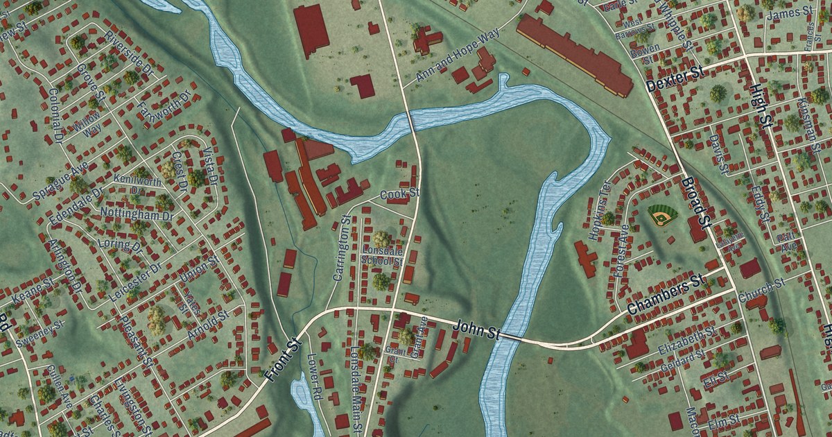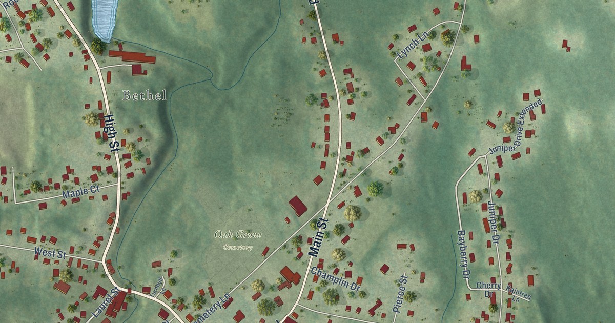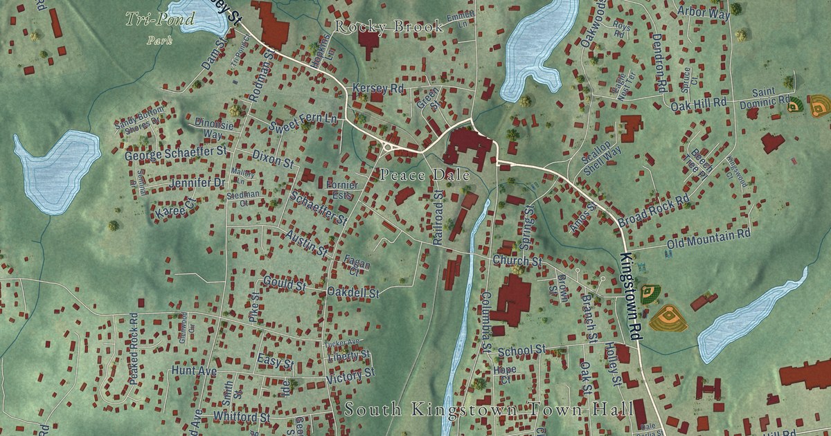
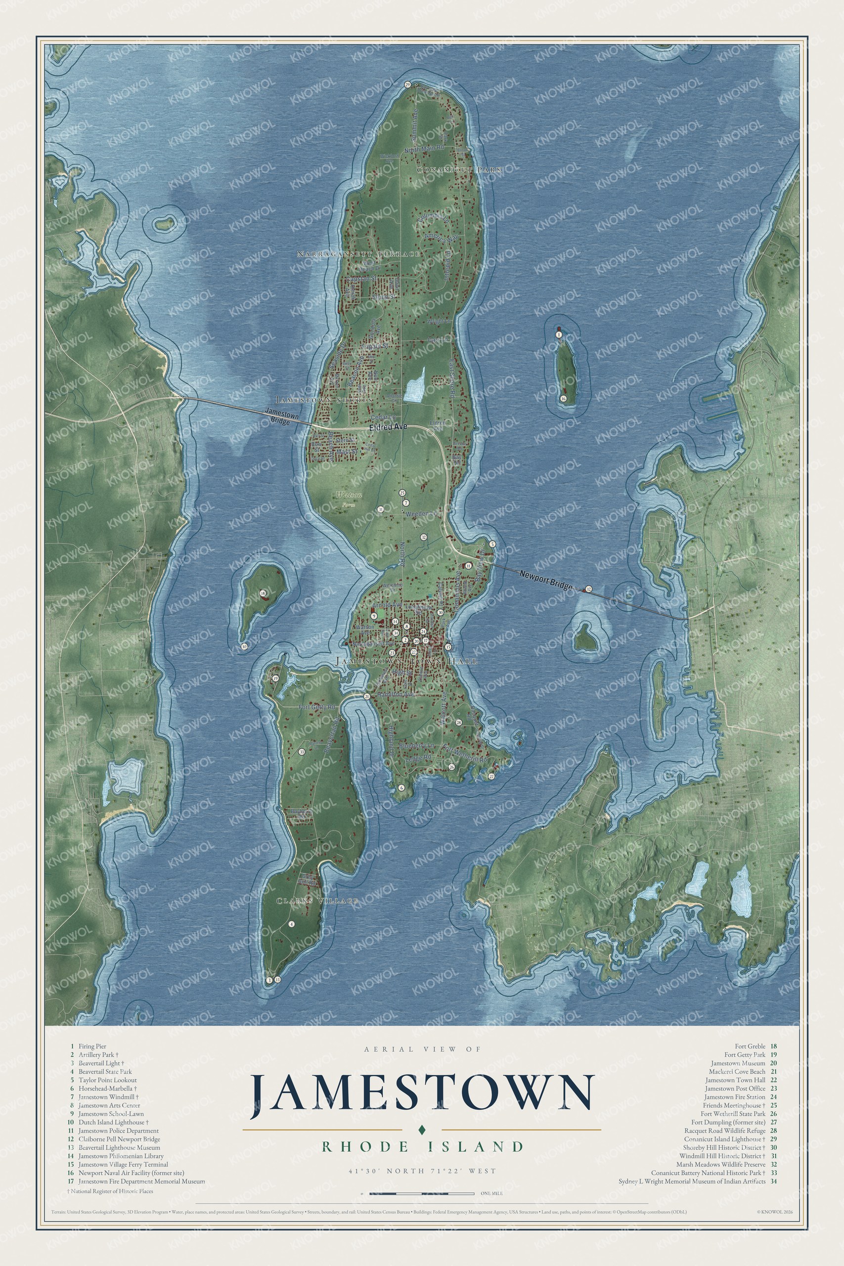
This beautifully detailed map of Jamestown, Rhode Island was created in 2026 using aerial imagery combined with modern topographical, census, street and landmark data. It’s a one-of-a-kind view of Jamestown that combines accurate data with a vintage aesthetic. The map shows every building in its true location, many of the roads carry their names, and the shaded topographic relief shows the shape of the land.
See the Jamestown, Rhode Island map on a wall
The Jamestown map as an 18 x 24 inch print in a black frame.

Explore an aerial view of Jamestown, Rhode Island
On the map you’ll find Jamestown Town Hall, Clarks Village, Watson Farm, Conanicut Park, Jamestown Shores, and Newport Bridge, along with Narragansett Terrace, Eldred Avenue, North Main Road, North Road, Walcott Avenue, Fort Wetherill Road, and more. If you look closely you can even find your house accurately drawn in its correct location. Zoom in on the preview to look for yours.
Did you know this piece of Jamestown, Rhode Island history?
Jamestown was incorporated in 1678 with about 150 residents. It took its name from James, Duke of York, who later became King James II. On December 10, 1775, British and Hessian troops landed and burned 14 homes. More than 200 islanders fled to the mainland.
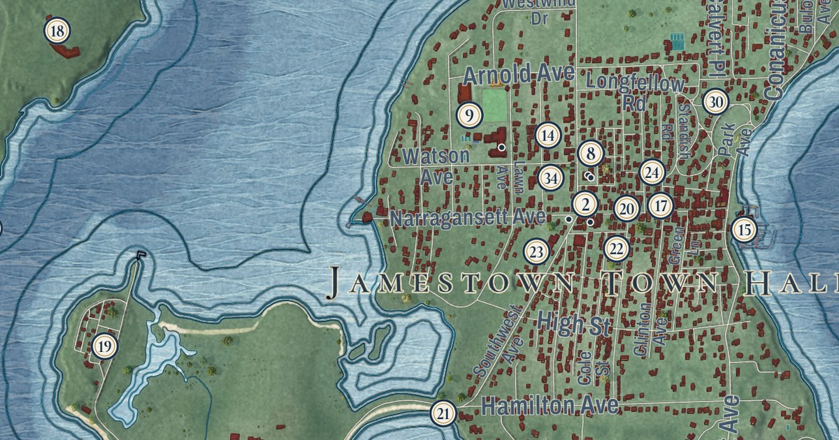
Take a closer look at the Jamestown map
Click to explore a larger preview. The digital watermark does not appear on printed maps.
Street and place names on the Jamestown, Rhode Island map
These names are printed on the map of Jamestown, Rhode Island.
Places: Jamestown Town Hall, Clarks Village, Watson Farm, Conanicut Park, Narragansett Terrace and Jamestown Shores.
Streets and roads: Eldred Avenue, Newport Bridge, North Main Road, North Road, Walcott Avenue, Fort Wetherill Road, Conanicus Avenue, Summit Avenue, East Shore Road, Beavertail Road, Seaside Drive, Fort Getty Road.
More street names, A to Z
America Way, Arnold Avenue, Atlantic Circle, Battery Lane, Bayberry Road, Bay Terrace, Bay View Drive, Bay View Drive North, Beach Avenue, Beacon Avenue, Bell Lane, Blueberry Lane, Bow Street, Broad Street, Buloid Avenue, Buoy Street, Calvert Place, Capstan Street, Carr Lane, Cedar Hill Drive, Cedar Lane, Clinton Avenue, Cole Street, Columbia Lane, Davit Avenue, Decatur Avenue, Deck Street, Dumpling Drive, Frigate Street, Gondola Avenue, Green Lane, Grey Gull Road, Hamilton Avenue, Highland Drive, High Street, Hull Street, Intrepid Lane, Jamestown Bridge, Keel Avenue, Lawn Avenue, Ledge Road, Longfellow Road, Mast Street, Mizzen Avenue, Narragansett Avenue, Nun Avenue, Park Avenue, Park Street, Racquet Road, Ship Street, Sloop Street, Southwest Avenue, Standish Road, Stern Street, Umiak Avenue, Watson Avenue, Weeden Lane, West Reach Drive, Westwind Drive, Wickford Avenue, Wright Lane.
This beautifully detailed map of Jamestown makes an attractive addition to your office, library, or den, and it can even be used to teach children the geography and history of the area. It also makes a great gift for someone who left Jamestown and still calls it home. When you’re done exploring, click here to get your copy of the Jamestown map.