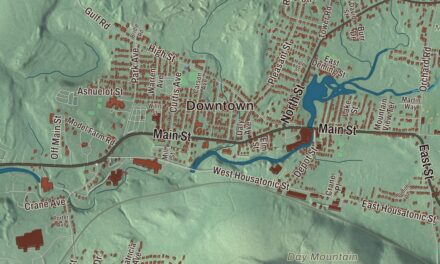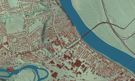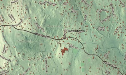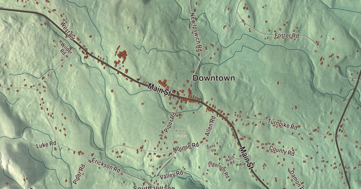
If you’ve driven through Ashby on Route 119, you’ve passed the triangle of the town common with its gazebo at the crest of the hill. This map prints Main Street, West State Road, Fitchburg State Road, Greenville Road, Townsend Road and West Road, along with the Ashby Reservoir, the Fitchburg Reservoir, Damon Pond, Stodge Meadow Pond, Blood Hill, Fort Hill, Willard Brook State Forest and the Mount Watatic Reservation. Click here to purchase a print of this map for your wall.
Ashby is in Middlesex County, at its northwestern corner on the New Hampshire line.
KNOWOL made this map in 2026 from public survey data and gave it the look of an old atlas. The shaded terrain comes from United States Geological Survey elevation data, and the roads and the town line come from the Census Bureau. Ashby had 3,193 people at the 2020 census, the fewest of any town in Middlesex County, and it’s the only town in the county that borders no more than one other town of the same county.
A farm town of orchards and mills
The Town of Ashby’s recorded history dates European settlement to 1676. Ashby was incorporated as a town in 1767, made from pieces of Townsend, Lunenburg, Fitchburg and Dorchester-Canada, part of today’s Ashburnham. One of the earliest settlers was John Fitch, who was taken captive in 1748 and held for six months; the John Fitch Monument at South and Richardson roads still stands, and volunteers cleaned it up in 2021. The town remains part of Middlesex County today. Ashby had some mills, but it stayed mostly a farming town, and it was once home to many apple orchards whose remnants still turn up in the woods behind houses. The First Parish Burial Ground was laid out on the common in 1767; West Cemetery began as a family burying ground during the Revolution and was later used by many Finnish families.
South Village, called the Mill Village on some old maps, grew up around the outlet of the Ashby Reservoir. Ephraim Hayward built a gristmill and some mill housing there around 1800, and William O. Loveland later ran the sawmill and changed the gristmill over to make electricity. He’s believed to have talked the selectmen into running power poles to light the center of town around 1902. Two of the buildings survive on land owned by the Middlesex County Foundation, used today as Camp Middlesex, a seasonal 4-H camp.
Keeping the town’s story
The Ashby Free Public Library was founded in 1874, and around 1890 it held 1,584 volumes, “with which its inhabitants have a pleasant and profitable acquaintance.” In 1901 Edwin Chapman, a businessman and Civil War veteran, gave it a new building, which opened in 1902, and in the early 2000s it was enlarged with passive solar design, a model for the state’s library commissioners. The Ashby Historical Society, formed in 1900, keeps a museum in the old engine house in the center of town, with maps, letters, farm tools and hand-pumped fire engines. During the last two years of World War II, The Town Pump, a newsletter, that kept residents who were away supporting the war effort up to date on home, from June 1944 to September 1945; scanned copies can be found online. Lemuel Shattuck, born in Ashby in 1793, helped found the American Statistical Association and designed most of the interview form for the 1850 federal census. Ashby turned 250 in 2017 with a year of events, from a parade to an old-fashioned baseball game. Click here to learn more about the history of Ashby.
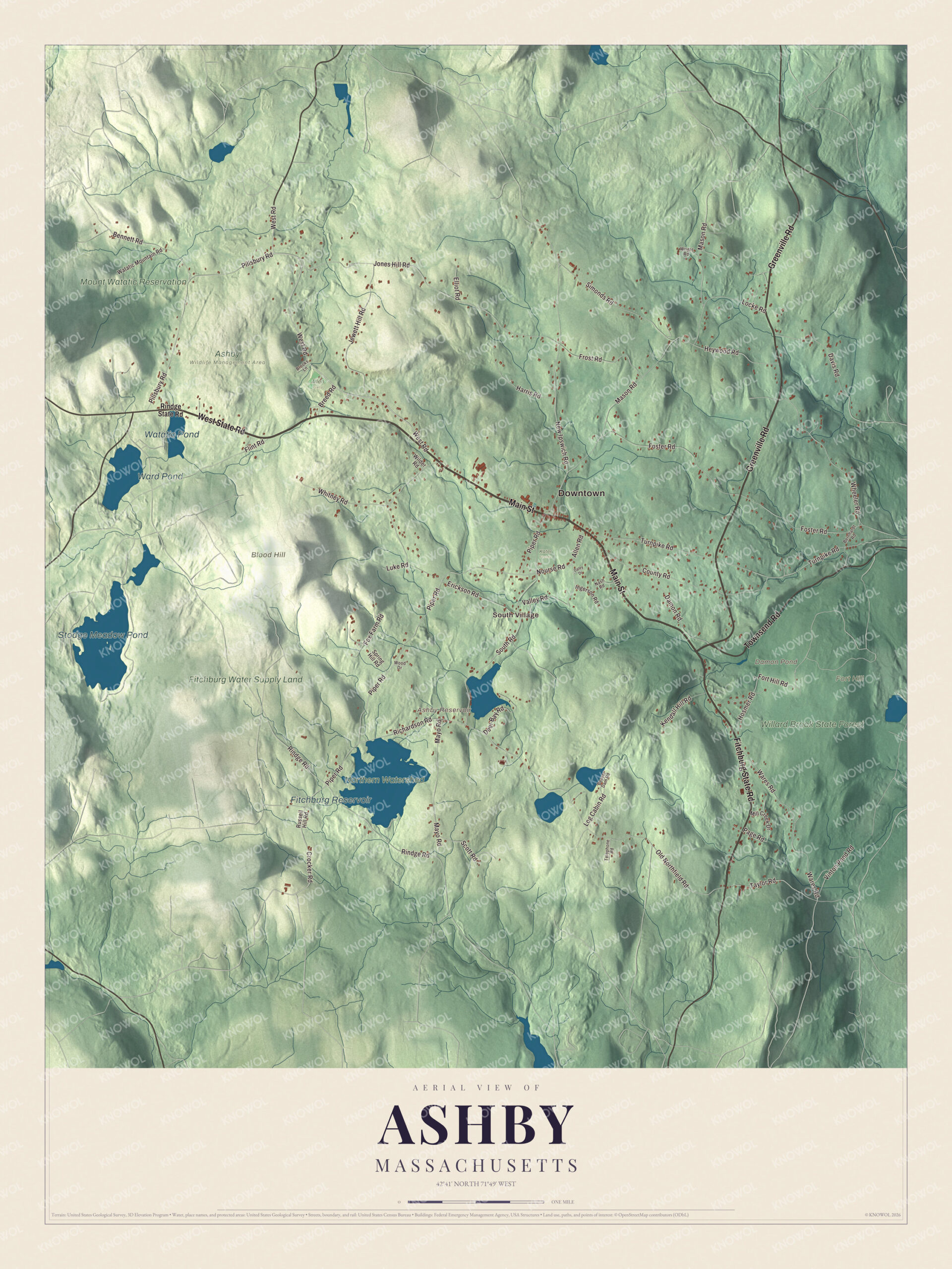
Click to explore a larger preview. The digital watermark does not appear on printed maps.
Names on this map
These names are printed on this map.
Places: Downtown, South Village, Blood Hill, Fort Hill, Ashby Reservoir, Damon Pond, Fitchburg Reservoir, Stodge Meadow Pond, Ward Pond, Watatic Pond, Willard Brook State Forest, Mount Watatic Reservation, Fitchburg Water Supply Land, Allen Field, Ashby Wildlife Management Area, Kater Fields and Northern Watershed.
Streets and roads: Main Street, West State Road, Fitchburg State Road, Greenville Road, Townsend Road, West Road, Crocker Road, Old Northfield Road, Taylor Road, Jones Hill Road, Fort Hill Road, Richardson Road.
More street names, A to Z
Allen Road, Beaver Dam Road, Bennett Road, Bernhardt Road, Breed Road, Brooks Lane, County Road, Daley Drive, Damon Road, Davis Road, Deer Bay Road, Elliot Road, Erickson Road, Flint Road, Foster Road, Fox Farm Road, Frost Road, Harris Road, Heywood Road, Hosmer Road, Ingerson Road, Jewett Hill Road, Kendall Hill Road, Locke Road, Log Cabin Road, Luke Road, Mason Road, Mayo Road, Mill Creek Drive, Nash Road, New Ipswich Road, Nourse Road, Page Road, Pillsbury Road, Piper Road, Rindge Road, Rindge State Road, Russell Hill Road, Scott Road, Simonds Road, South Road, Spring Hill Road, Telephone Road, Turnpike Road, Valley Road, Vinton Pond Road, Wares Road, Watatic Mountain Road, Wheeler Road, Whitney Road, Wilder Road, Wood Drive, Wright Road.
See it on a wall
The Ashby map as a framed print. Swipe for more.


Forest, falls and a mountain
A large part of Willard Brook State Forest is in Ashby, shared with Townsend; the state bought the land in 1930, and between 1933 and 1940 Civilian Conservation Corps crews built Damon Pond, a swimming pond made by damming Willard Brook. Trap Falls, 10 to 12 feet high, is a short walk from a parking area on Route 119, and the four-mile Friends and Family Loop Trail connects to Pearl Hill State Forest. Mount Watatic, 1,832 feet, is shared with Ashburnham. It had a ski area from the 1930s until 1984, and old trails can still be found on its back side; a state fire tower stood on top until 1996. The Ashby Stock Farm, 238 acres of hayfields and woods, is the largest piece of open land left in town. The Fitchburg Reservoir, Stodge Meadow Pond, Blood Hill and Fort Hill are printed on the map too. Start with South Village, then follow Main Street, West State Road, Fitchburg State Road, Greenville Road, Townsend Road or West Road across town.
This Ashby map makes a good addition to an office, library or den, and it can help teach children the geography and history of the town where Lemuel Shattuck was born. It’s made for people who call Ashby home, from South Village to the common. KNOWOL created it in 2026, and it’s printed on museum quality archival paper. Zoom in on the preview above to explore the details, then click here to get your copy of the Ashby, Massachusetts map.

Sources